Aber Richard
Bay in Pembrokeshire
Wales
Aber Richard
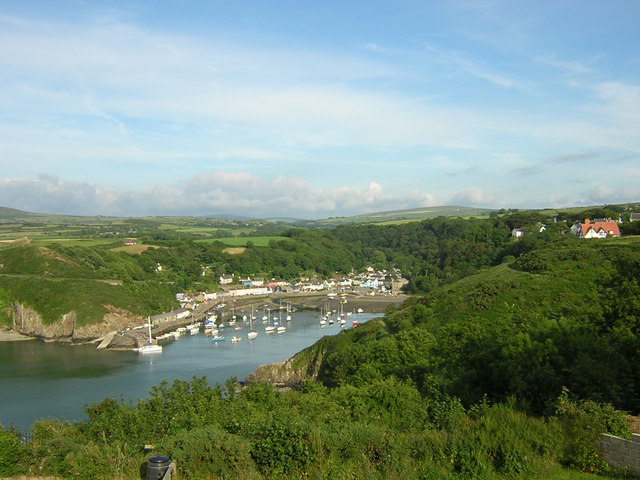
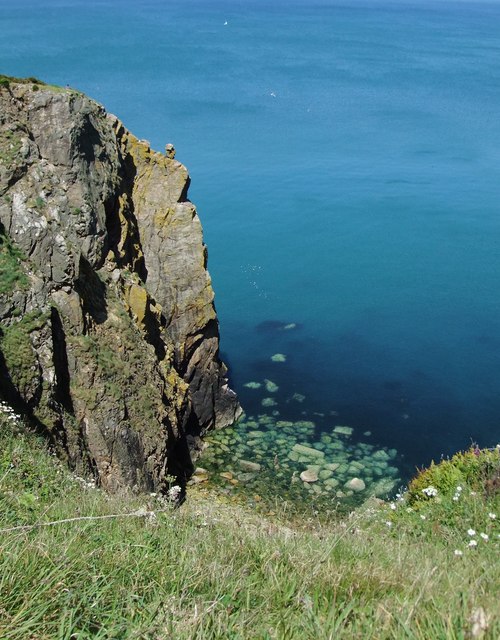
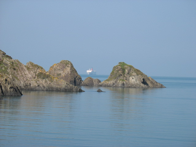
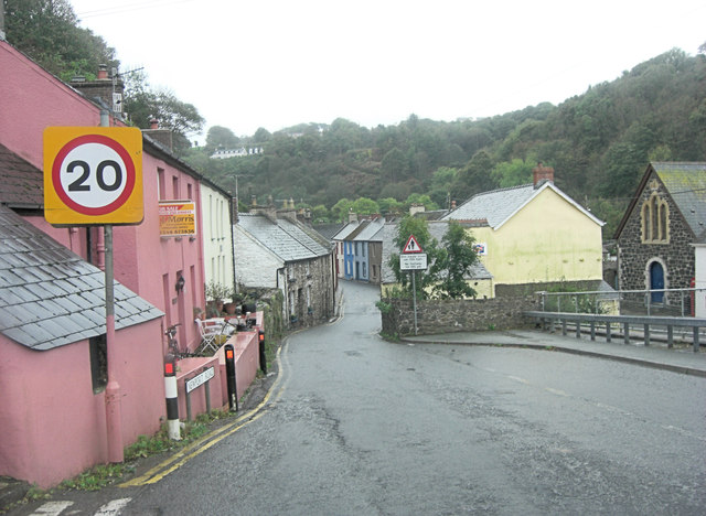
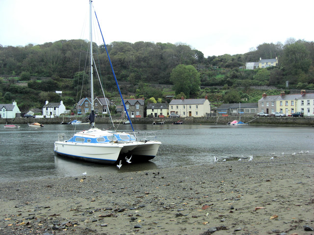
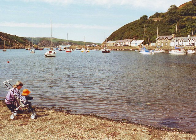
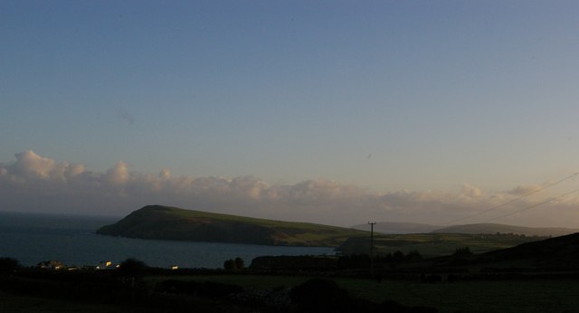
Aber Richard is a small coastal village situated in the county of Pembrokeshire, Wales. Located on the western coast of Wales, it is nestled between the popular towns of Fishguard and St. Davids. The village is known for its stunning bay, which offers breathtaking views of the Irish Sea and the rugged Pembrokeshire coastline.
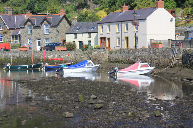
The bay of Aber Richard boasts a sandy beach, making it an attractive destination for beachgoers and nature enthusiasts alike. The beach is backed by towering cliffs, providing a picturesque backdrop for visitors. The clear waters of the bay are ideal for swimming, and the beach is also a popular spot for fishing and boating.
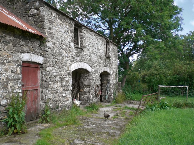
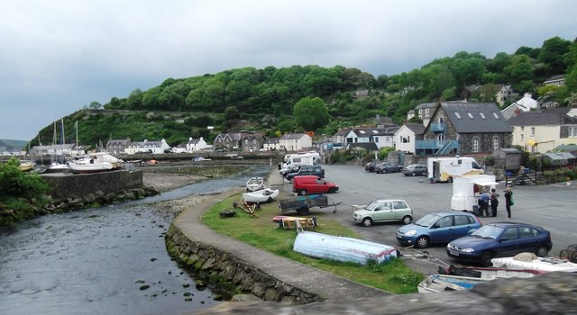
The village itself is a quaint and peaceful place, with a small population of locals who are known for their warm hospitality. Despite its small size, Aber Richard offers a range of amenities for visitors, including a charming café and a local pub where visitors can indulge in traditional Welsh cuisine and enjoy a pint of local ale.
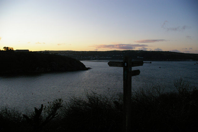
For those interested in exploring the natural wonders of the area, Aber Richard is ideally located near the Pembrokeshire Coast National Park, which is renowned for its stunning landscapes and diverse wildlife. Visitors can take advantage of the numerous walking trails and cycling routes that wind through the park, providing opportunities to discover the beauty of the Welsh countryside.
Overall, Aber Richard is a hidden gem on the Welsh coast, offering a peaceful retreat in a stunning natural setting.
If you have any feedback on the listing, please let us know in the comments section below.
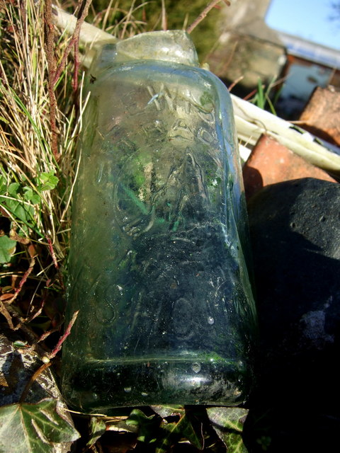
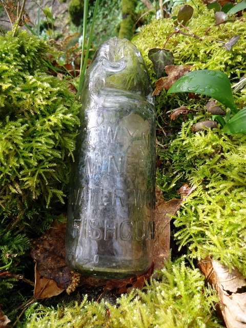
Aber Richard Images
Images are sourced within 2km of 52.004838/-4.9450776 or Grid Reference SM9738. Thanks to Geograph Open Source API. All images are credited.


Aber Richard is located at Grid Ref: SM9738 (Lat: 52.004838, Lng: -4.9450776)
Unitary Authority: Pembrokeshire
Police Authority: Dyfed Powys
What 3 Words
///suspect.paradise.branching. Near Fishguard, Pembrokeshire
Nearby Locations
Related Wikis

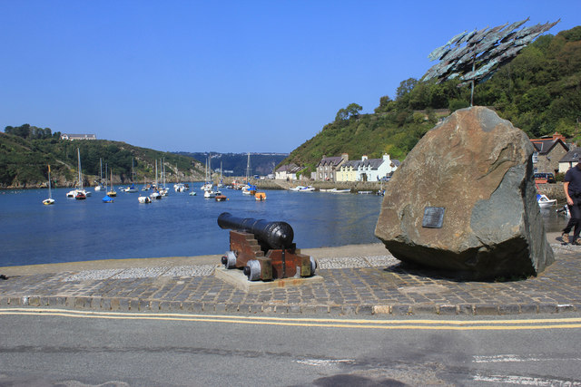
Fishguard Bay
Fishguard Bay (Welsh: Bae Abergwaun) is a bay on the north Pembrokeshire coast, Wales. Much of the bay's coastline is within the Pembrokeshire Coast National...

River Gwaun
The River Gwaun (Welsh: Afon Gwaun, "Gwaun" meaning 'marsh, moor') is a river in Pembrokeshire, West Wales, which flows west to the sea at Fishguard (Welsh...
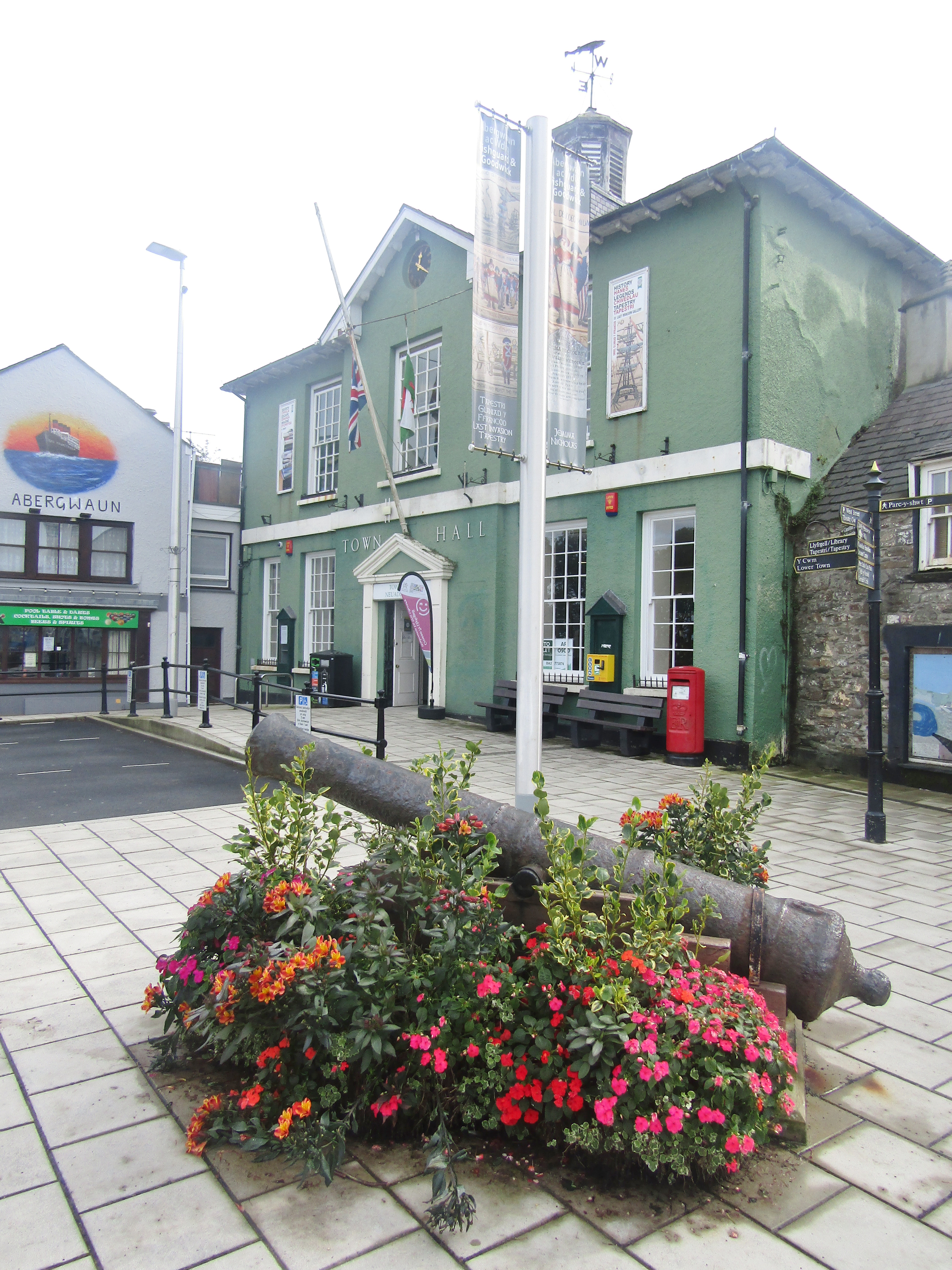
Fishguard Town Hall
Fishguard Town Hall (Welsh: Neuadd y Dref Abergwaun) is a municipal building in the Market Square, Fishguard, Pembrokeshire, Wales. The structure, which...

Dinas Cross
Dinas Cross (Welsh: Dinas) is both a village, a community and a former parish in Pembrokeshire, Wales. Located between Fishguard and Newport in the Pembrokeshire...
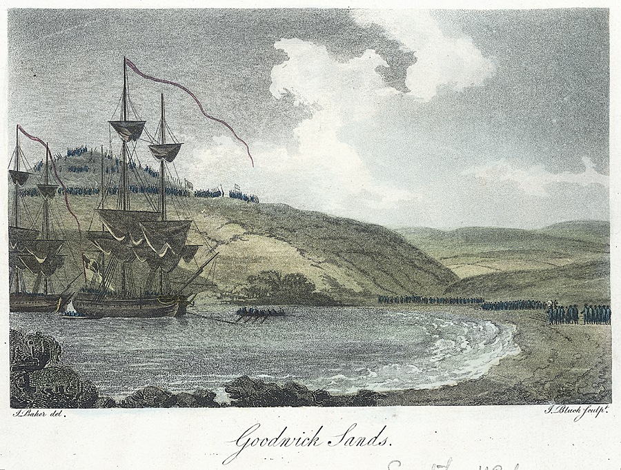
Battle of Fishguard
The Battle of Fishguard was a military invasion of Great Britain by Revolutionary France during the War of the First Coalition. The brief campaign, on...

Fishguard
Fishguard (Welsh: Abergwaun, meaning "Mouth of the River Gwaun") is a coastal town in Pembrokeshire, Wales, with a population of 3,419 in 2011; the community...

Theatr Gwaun
Theatr Gwaun is a cinema/theatre in Fishguard, Pembrokeshire. Built in 1885 as a Temperance hall, it was briefly converted for use as a school in January...

Fishguard Lifeboat Station
Fishguard Lifeboat Station (based in Goodwick, Pembrokeshire, Wales) is a Royal National Lifeboat Institution (RNLI) station. Located on the quay between...
Nearby Amenities
Located within 500m of 52.004838,-4.9450776Have you been to Aber Richard?
Leave your review of Aber Richard below (or comments, questions and feedback).