Needle Rock
Island in Pembrokeshire
Wales
Needle Rock

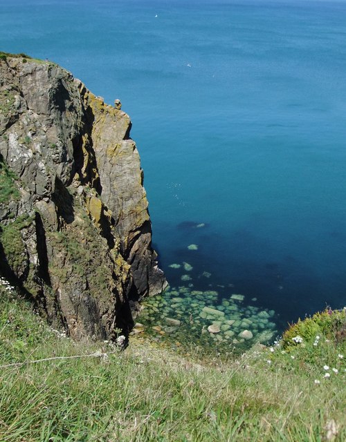
Needle Rock is a small island located off the coast of Pembrokeshire, Wales. It is situated approximately 1.5 kilometers southeast of St. David's Head, one of the most westerly points of mainland Wales. The island is known for its distinctive shape, resembling a needle or a spire, which gives it its name.
Measuring around 50 meters in length and 20 meters in width, Needle Rock is a rocky outcrop that rises steeply from the surrounding waters of the Celtic Sea. The island is composed of rugged cliffs, with the highest point reaching approximately 20 meters above sea level. Its unique geology makes it a popular spot for birdwatching, as it provides a nesting site for various seabird species, including guillemots, razorbills, and kittiwakes.
Access to Needle Rock is limited due to its remote location and the challenging sea conditions that surround it. It is primarily visited by boat, with several local tour operators offering trips to the island for sightseeing and wildlife observation. The area surrounding the island is rich in marine life, making it an ideal spot for snorkeling and diving enthusiasts.
Due to its natural beauty and ecological significance, Needle Rock is protected under the Pembrokeshire Coast National Park and designated as a Site of Special Scientific Interest. This designation ensures the preservation of its wildlife and natural habitats, allowing visitors to appreciate its unspoiled charm for years to come.
If you have any feedback on the listing, please let us know in the comments section below.
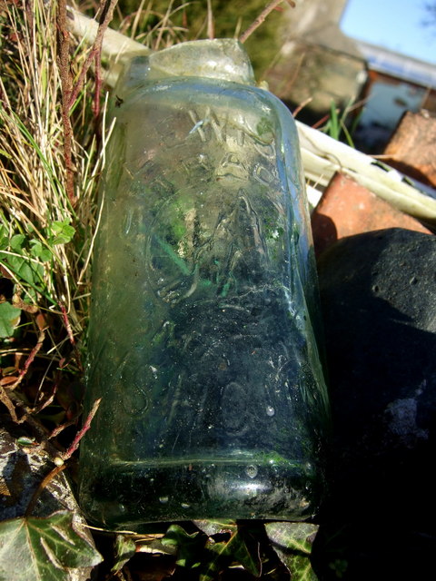
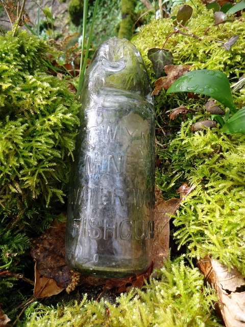
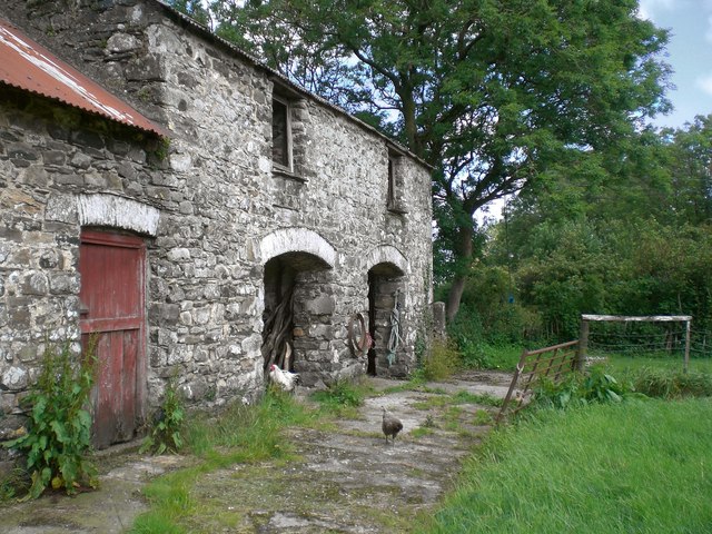
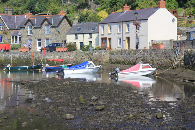
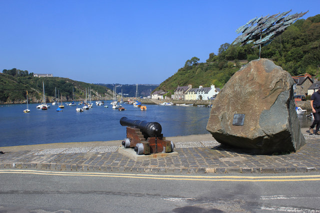
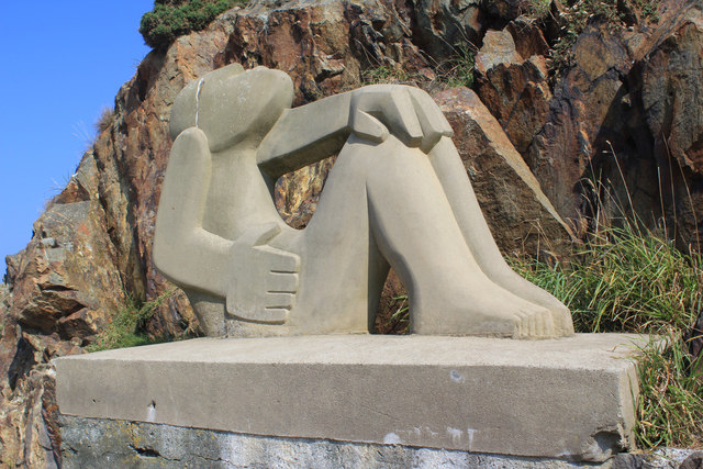
Needle Rock Images
Images are sourced within 2km of 52.003457/-4.9506554 or Grid Reference SM9738. Thanks to Geograph Open Source API. All images are credited.


Needle Rock is located at Grid Ref: SM9738 (Lat: 52.003457, Lng: -4.9506554)
Unitary Authority: Pembrokeshire
Police Authority: Dyfed Powys
What 3 Words
///motivations.aims.decoding. Near Fishguard, Pembrokeshire
Nearby Locations
Related Wikis

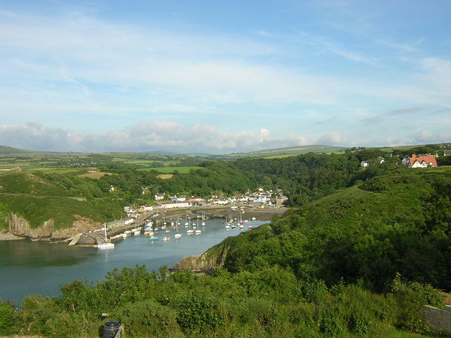
Fishguard Bay
Fishguard Bay (Welsh: Bae Abergwaun) is a bay on the north Pembrokeshire coast, Wales. Much of the bay's coastline is within the Pembrokeshire Coast National...

River Gwaun
The River Gwaun (Welsh: Afon Gwaun, "Gwaun" meaning 'marsh, moor') is a river in Pembrokeshire, West Wales, which flows west to the sea at Fishguard (Welsh...
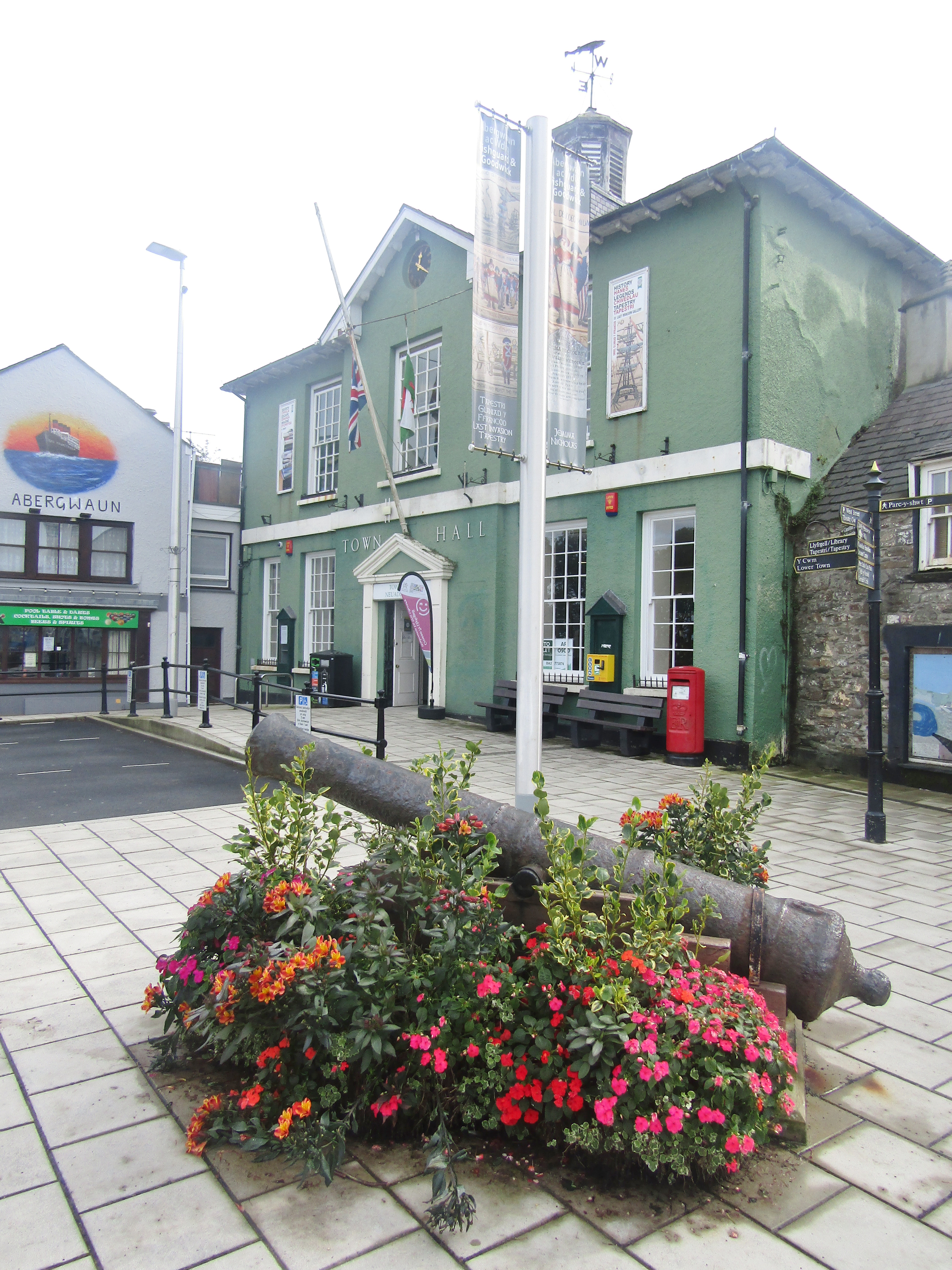
Fishguard Town Hall
Fishguard Town Hall (Welsh: Neuadd y Dref Abergwaun) is a municipal building in the Market Square, Fishguard, Pembrokeshire, Wales. The structure, which...
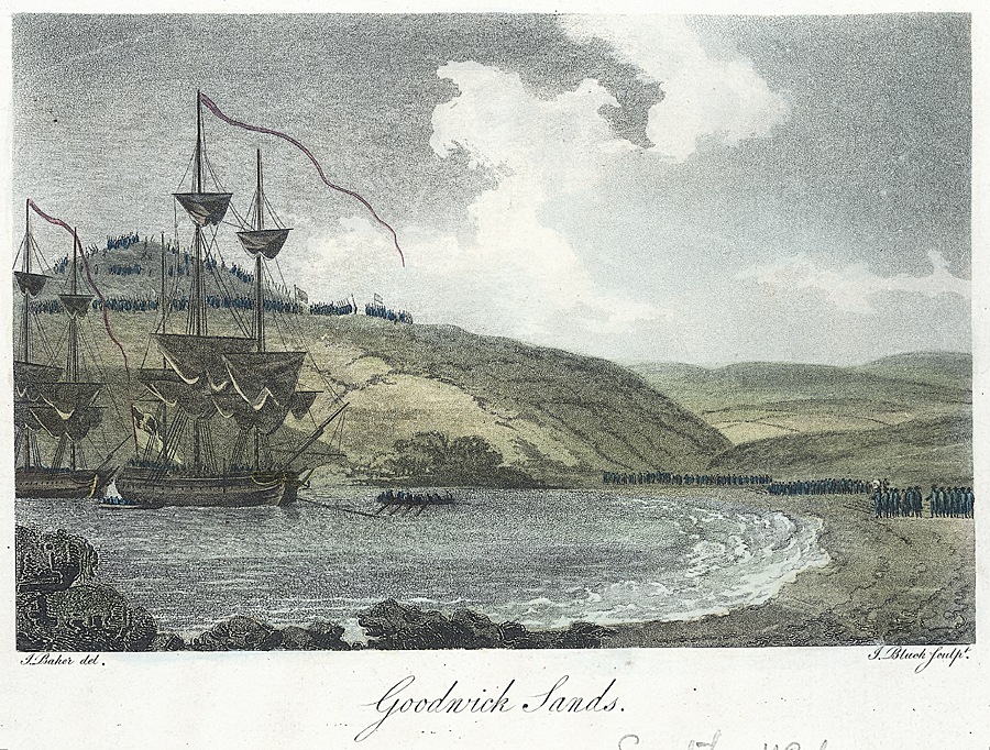
Battle of Fishguard
The Battle of Fishguard was a military invasion of Great Britain by Revolutionary France during the War of the First Coalition. The brief campaign, on...

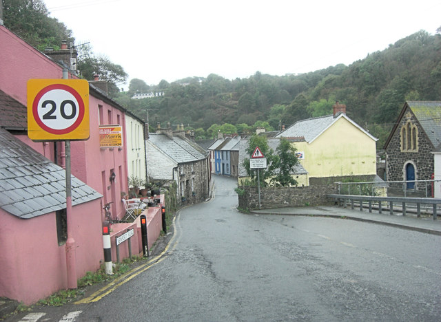
Fishguard
Fishguard (Welsh: Abergwaun, meaning "Mouth of the River Gwaun") is a coastal town in Pembrokeshire, Wales, with a population of 3,419 in 2011; the community...
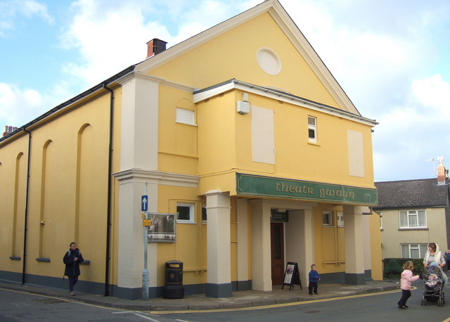
Theatr Gwaun
Theatr Gwaun is a cinema/theatre in Fishguard, Pembrokeshire. Built in 1885 as a Temperance hall, it was briefly converted for use as a school in January...

Fishguard Lifeboat Station
Fishguard Lifeboat Station (based in Goodwick, Pembrokeshire, Wales) is a Royal National Lifeboat Institution (RNLI) station. Located on the quay between...

Fishguard Harbour railway station
Fishguard Harbour railway station serves the port of Fishguard Harbour, Wales. It is the terminus of one of the branches of the West Wales Line from Swansea...
Nearby Amenities
Located within 500m of 52.003457,-4.9506554Have you been to Needle Rock?
Leave your review of Needle Rock below (or comments, questions and feedback).