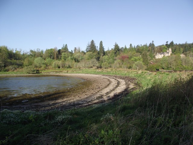
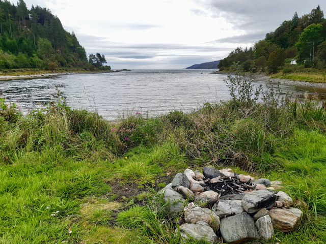
South Bay
Bay in Argyllshire
Scotland
South Bay
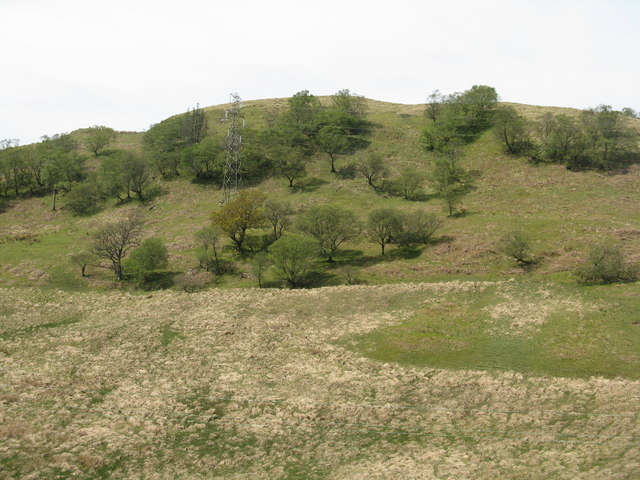
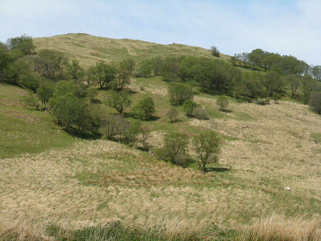
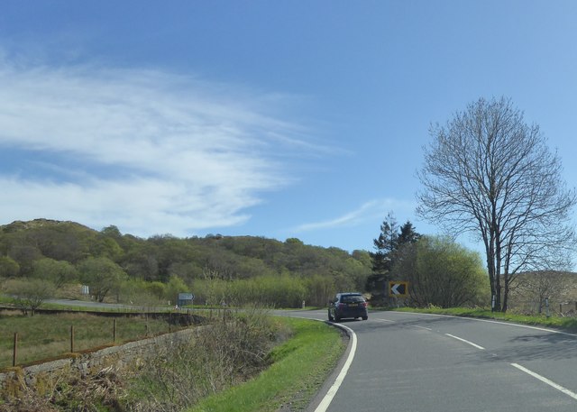
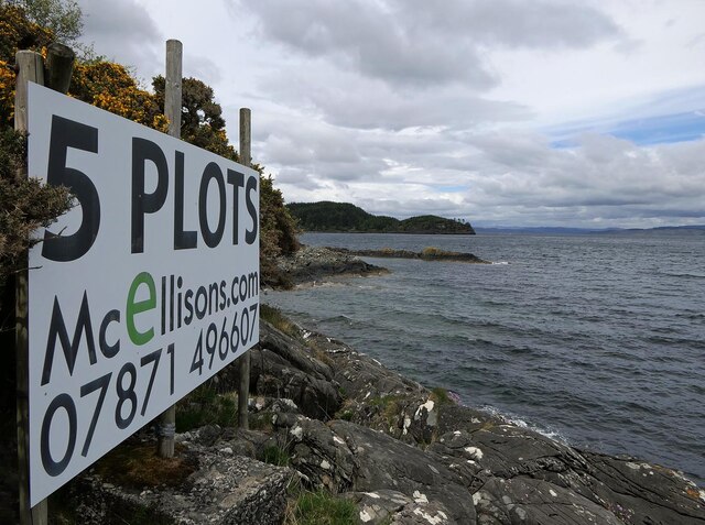
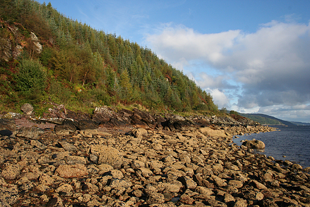
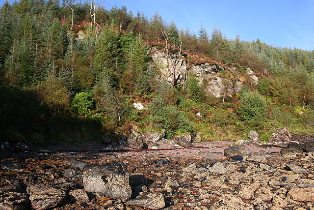
South Bay, located in Argyllshire, Scotland, is a picturesque coastal region renowned for its stunning natural beauty and rich historical significance. Nestled on the western coast of Scotland, South Bay offers breathtaking views of the Atlantic Ocean and is surrounded by rolling hills and rugged cliffs.
The region is known for its diverse wildlife, including seals, dolphins, and various bird species. The bay's pristine sandy beaches are a haven for beachcombers and water sports enthusiasts, with opportunities for swimming, kayaking, and sailing. Nature lovers can explore the nearby nature reserves and hiking trails, which showcase the area's unique flora and fauna.
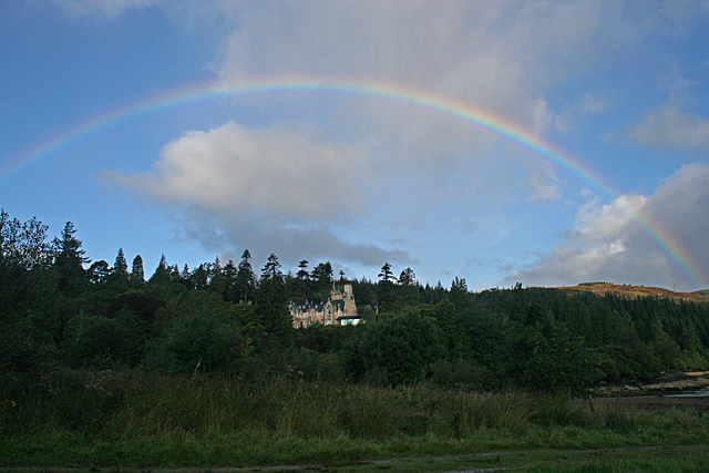
South Bay is also steeped in history, with several ancient sites dotting the landscape. The ruins of Castle Sween, a 12th-century castle, stand proudly on a nearby peninsula, offering a glimpse into the region's medieval past. Additionally, the area is home to numerous standing stones and burial mounds, providing insight into the lives of the ancient inhabitants of Argyllshire.
The bay itself is a thriving fishing community, with local fishermen bringing in an array of fresh seafood, including lobsters, crabs, and various fish species. Visitors can sample these delectable offerings at the local seafood restaurants, providing a true taste of the region.
With its combination of stunning natural beauty, historical landmarks, and vibrant fishing community, South Bay, Argyllshire, is a must-visit destination for those seeking an authentic Scottish coastal experience.
If you have any feedback on the listing, please let us know in the comments section below.
South Bay Images
Images are sourced within 2km of 55.88494/-5.4072505 or Grid Reference NR8771. Thanks to Geograph Open Source API. All images are credited.
South Bay is located at Grid Ref: NR8771 (Lat: 55.88494, Lng: -5.4072505)
Unitary Authority: Argyll and Bute
Police Authority: Argyll and West Dunbartonshire
What 3 Words
///variety.myths.topping. Near Tarbert, Argyll & Bute
Nearby Locations
Related Wikis

Barmore Island
Barmore Island is a peninsula in Scotland located on the east of Knapdale, in the council area of Argyll and Bute. It is 1 and a half miles north from...

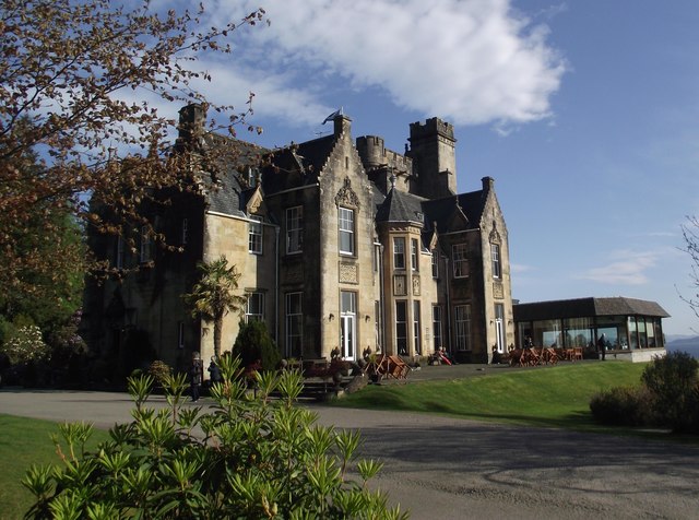
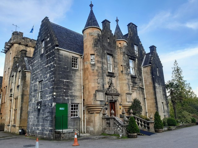
Stonefield Castle
Stonefield Castle is a Scottish baronial manor house near the village of Stonefield, north of Tarbert, Argyll & Bute, Scotland. It was built on the site...

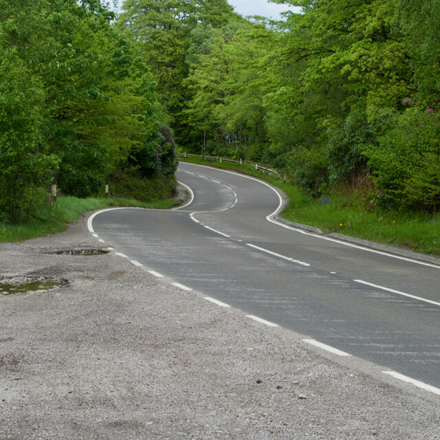
East Loch Tarbert, Argyll
East Loch Tarbert, Argyll is a small sea loch on the eastern side of the Kintyre peninsula in Scotland. It is a part of the much larger Loch Fyne. The...

Tarbert Castle
Tarbert Castle is located on the southern shore of East Loch Tarbert, at Tarbert, Argyll, Scotland, at the north end of Kintyre. Tarbert Castle was a strategic...
Nearby Amenities
Located within 500m of 55.88494,-5.4072505Have you been to South Bay?
Leave your review of South Bay below (or comments, questions and feedback).