Barmore Island

Island in Argyllshire

Scotland

Barmore Island

A83 north of Stonefield
A83 north of Stonefield Credit: Alpin Stewart

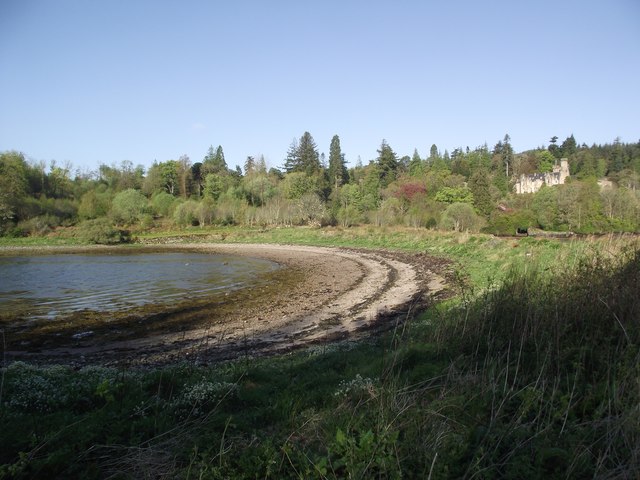
Barmore Island is a small island located off the west coast of Scotland in Argyllshire. It lies in the Kyles of Bute, a narrow channel between the mainland and the Isle of Bute. The island is approximately 1.5 miles long and covers an area of around 70 acres.

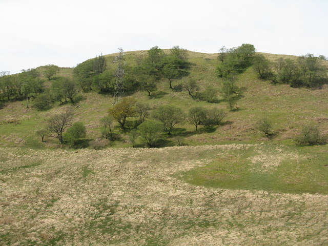
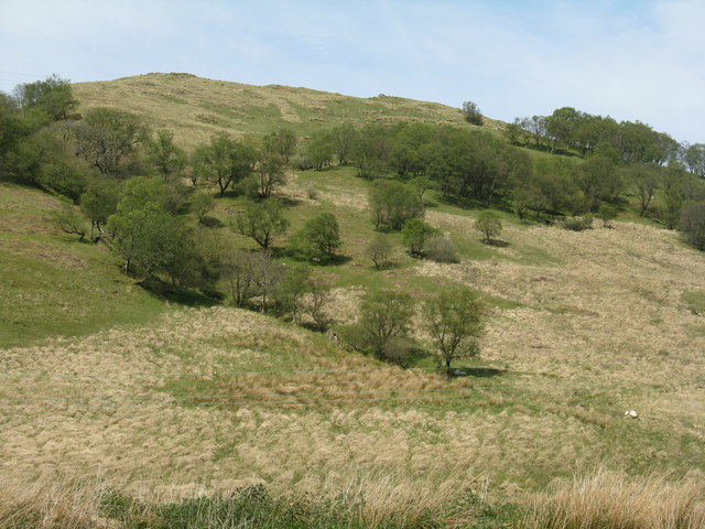
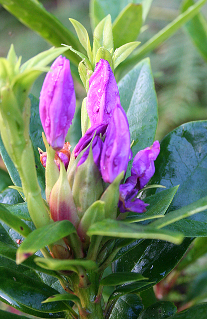
The landscape of Barmore Island is characterized by rugged cliffs, rolling hills, and a diverse range of flora and fauna. The island is home to a variety of bird species, including puffins, guillemots, and razorbills, making it an ideal spot for birdwatching enthusiasts. The surrounding waters are also teeming with marine life, attracting seals and dolphins.

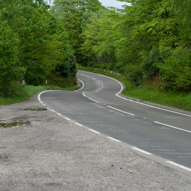
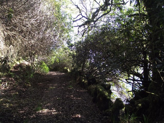
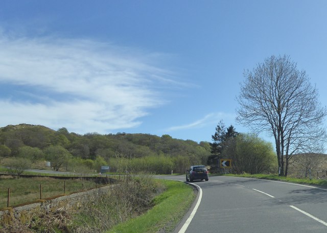
Access to Barmore Island is primarily limited to private boats and kayaks, as there are no scheduled ferry services to the island. Visitors can explore the island's picturesque coastline, take scenic walks along its trails, or simply enjoy the peaceful and unspoiled natural surroundings.

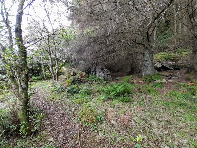
Historically, Barmore Island was used for farming and fishing, and evidence of these activities can still be seen in the form of abandoned cottages and fishing equipment. Today, the island is primarily a haven for wildlife and a popular destination for nature lovers seeking tranquility away from the mainland.

Overall, Barmore Island offers a unique and captivating experience for those looking to immerse themselves in the beauty of Scotland's coastal landscapes and observe its rich biodiversity.

If you have any feedback on the listing, please let us know in the comments section below.

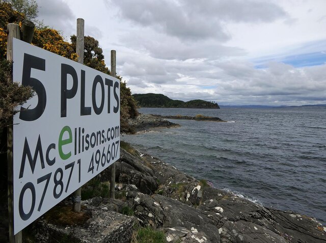
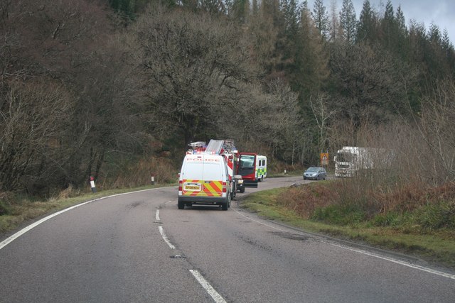
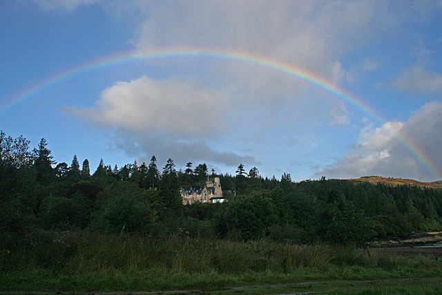
Barmore Island Images

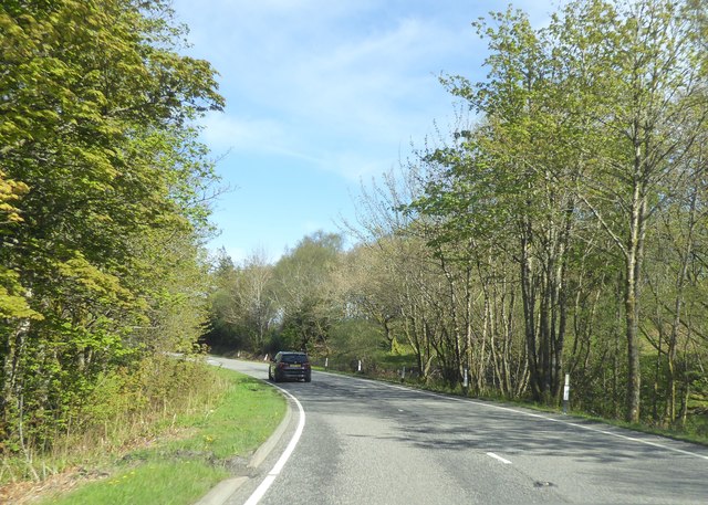
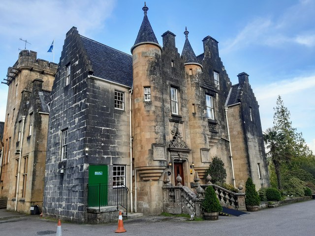
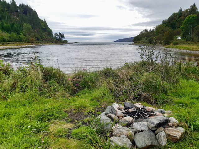
Images are sourced within 2km of 55.889951/-5.4071621 or Grid Reference NR8771. Thanks to Geograph Open Source API. All images are credited.

A83 north of Stonefield
A83 near Upper Ashens
Barmore Bridge and Stonefield Castle Hotel The bridge is a causeway across Loch Fyne.  Part of South Bay is seen to the left of the causeway.
Barmore Bridge and Stonefield Castle Hotel
The bridge is a causeway across Loch Fyne. Part of South Bay is seen to the left of the causeway.
Stonefield Castle Hotel
Driveway from Stonefield Castle to the North Lodge The drive is overgrown and, in places, obstructed by fallen trees.
Driveway from Stonefield Castle to the North Lodge
The drive is overgrown and, in places, obstructed by fallen trees.
Birch woodland in Glen Ralloch With the occasional Oak. Looking west.
Birch woodland in Glen Ralloch
With the occasional Oak. Looking west.
Birch woodland in Glen Ralloch Looking northwest over rough grassland.
Birch woodland in Glen Ralloch
Looking northwest over rough grassland.
SMILE HOPE LOVE Happy instructions on the back of a road sign near Tarbert, at the junction of the B8024 and A83 at the head of Glen Ralloch. The sign is a Timber Haulage Route sign as in <a href="https://www.geograph.org.uk/photo/5787504">NR8468 : B8024 Timber Haulage Route</a>.
SMILE HOPE LOVE
Happy instructions on the back of a road sign near Tarbert, at the junction of the B8024 and A83 at the head of Glen Ralloch. The sign is a Timber Haulage Route sign as in NR8468 : B8024 Timber Haulage Route.
Turning for Kilberry coming up
A83 south of Barr Hill
Stonefield Castle Hotel Stonefield Castle was designed by William Playfair between 1836 and 1840.  The surrounding Stonefield estate was originally called Barmore, but was renamed after Archibald Campbell, Chamberlain and Sheriff Depute of Argyll purchased the land in 1751; Stonefield was an English translation of the family's Loch Etive property, Achnacloich.
Stonefield Castle Hotel
Stonefield Castle was designed by William Playfair between 1836 and 1840. The surrounding Stonefield estate was originally called Barmore, but was renamed after Archibald Campbell, Chamberlain and Sheriff Depute of Argyll purchased the land in 1751; Stonefield was an English translation of the family's Loch Etive property, Achnacloich.
South Bay, Stonefield
Abandoned steading, Barmore Island
A83 Milestone Inscribed milestone, mileages from Inveraray to Campbeltown
A83 Milestone
Inscribed milestone, mileages from Inveraray to Campbeltown
Advertising board, Port a' Ghuail, Argyll Looking towards Barmore Island.

An advertising board isn't something that I was expecting to photograph in this grid square!  I assume that it's intended to be seen by people on passing yachts.
Advertising board, Port a' Ghuail, Argyll
Looking towards Barmore Island. An advertising board isn't something that I was expecting to photograph in this grid square! I assume that it's intended to be seen by people on passing yachts.
Emergency Vehicles Police, Fire brigade and Ambulance vehicles at the scene of an accident on the A83 north of Tarbert on one of a series of bends. A car had gone off the road and landed downhill to the right of this photo, fortunately without serious injury to the occupant.
Emergency Vehicles
Police, Fire brigade and Ambulance vehicles at the scene of an accident on the A83 north of Tarbert on one of a series of bends. A car had gone off the road and landed downhill to the right of this photo, fortunately without serious injury to the occupant.
Rainbow over Stonefield Castle A pause between early morning rain showers at Stonefield Castle Hotel.
Rainbow over Stonefield Castle
A pause between early morning rain showers at Stonefield Castle Hotel.
Unseasonal Rhododendron ponticum I was very surprised to see R ponticum in bud on the eastern shore of Barmore Island in mid-September. Its normal flowering period is May.
Unseasonal Rhododendron ponticum
I was very surprised to see R ponticum in bud on the eastern shore of Barmore Island in mid-September. Its normal flowering period is May.
Show me another place!

Barmore Island is located at Grid Ref: NR8771 (Lat: 55.889951, Lng: -5.4071621)

Unitary Authority: Argyll and Bute

Police Authority: Argyll and West Dunbartonshire

What 3 Words

///tuxedos.states.notifying. Near Tarbert, Argyll & Bute

Related Wikis

Barmore Island

Barmore Island is a peninsula in Scotland located on the east of Knapdale, in the council area of Argyll and Bute. It is 1 and a half miles north from...
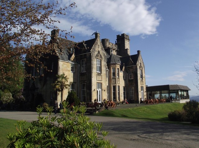
Stonefield Castle

Stonefield Castle is a Scottish baronial manor house near the village of Stonefield, north of Tarbert, Argyll & Bute, Scotland. It was built on the site...

East Loch Tarbert, Argyll

East Loch Tarbert, Argyll is a small sea loch on the eastern side of the Kintyre peninsula in Scotland. It is a part of the much larger Loch Fyne. The...

Tarbert Castle

Tarbert Castle is located on the southern shore of East Loch Tarbert, at Tarbert, Argyll, Scotland, at the north end of Kintyre. Tarbert Castle was a strategic...

Nearby Amenities

Located within 500m of 55.889951,-5.4071621
Source: PGS
Lat/Long: 55.8889054/-5.4116691
Source: PGS
Lat/Long: 55.8894366/-5.4108085
Created By: dmgroom_coastlines
Source: PGS
Lat/Long: 55.890795/-5.405745
Source: PGS
Lat/Long: 55.8912189/-5.4060357
Source: PGS
Lat/Long: 55.8917818/-5.4070429
Source: PGS
Lat/Long: 55.8922259/-5.407271
Source: PGS
Lat/Long: 55.8925701/-5.4082788
Created By: dmgroom_coastlines
Source: PGS
Lat/Long: 55.892638/-5.409733
Source: PGS
Lat/Long: 55.8927474/-5.4100416
Source: PGS
Lat/Long: 55.8925839/-5.4104416
Source: PGS
Lat/Long: 55.8924243/-5.4110916
Source: PGS
Lat/Long: 55.8920662/-5.4112726
Source: PGS
Lat/Long: 55.8916807/-5.411296
Source: PGS
Lat/Long: 55.8909937/-5.4118172
Created By: dmgroom_coastlines
Source: PGS
Lat/Long: 55.890794/-5.412354
Source: PGS
Lat/Long: 55.8906906/-5.4129155
Source: PGS
Lat/Long: 55.8907176/-5.4140617
Source: PGS
Lat/Long: 55.8906981/-5.4150079
Source: PGS
Lat/Long: 55.886613/-5.410044
Source: PGS
Lat/Long: 55.88686/-5.410515
Source: PGS
Lat/Long: 55.887116/-5.410531
Source: PGS
Lat/Long: 55.887371/-5.410547
Source: PGS
Lat/Long: 55.8883905/-5.4111616
Source: PGS
Lat/Long: 55.8886235/-5.4113962
Source: PGS
Lat/Long: 55.8895451/-5.4125478
Source: PGS
Lat/Long: 55.8899179/-5.4114246
Source: PGS
Lat/Long: 55.889162/-5.410658
Source: PGS
Lat/Long: 55.8889818/-5.4104955
Source: PGS
Lat/Long: 55.8888564/-5.4102429
Source: PGS
Lat/Long: 55.8886471/-5.409928
Source: PGS
Lat/Long: 55.8883791/-5.4095565
Source: PGS
Lat/Long: 55.8880597/-5.4089902
Source: PGS
Lat/Long: 55.887685/-5.407603
Source: PGS
Lat/Long: 55.8874805/-5.4069907
Source: PGS
Lat/Long: 55.8873428/-5.4052419
Source: PGS
Lat/Long: 55.8870618/-5.4047826
Source: PGS
Lat/Long: 55.8867813/-5.4040831
Source: PGS
Lat/Long: 55.8866424/-5.4032218
Source: PGS
Lat/Long: 55.8866088/-5.4026601
Source: PGS
Lat/Long: 55.8867039/-5.4022224
Source: PGS
Lat/Long: 55.8869663/-5.4021351
Source: PGS
Lat/Long: 55.887271/-5.402564
Source: PGS
Lat/Long: 55.8873016/-5.4022051
Source: PGS
Lat/Long: 55.8877707/-5.4020426
Source: PGS
Lat/Long: 55.888048/-5.402156
Source: PGS
Lat/Long: 55.888248/-5.4024857
Source: PGS
Lat/Long: 55.8883785/-5.4027254
Source: PGS
Lat/Long: 55.88863/-5.4032458
Source: PGS
Lat/Long: 55.8888401/-5.4037638
Source: PGS
Lat/Long: 55.8888406/-5.4042085
Source: PGS
Lat/Long: 55.8889289/-5.4045429
Source: PGS
Lat/Long: 55.8890662/-5.4049663
Created By: dmgroom_coastlines
Source: PGS
Lat/Long: 55.889525/-5.405211
The data included in this document is from www.openstreetmap.org. The data is made available under ODbL.

Have you been to Barmore Island?

Leave your review of Barmore Island below (or comments, questions and feedback).