Slughan

Bay in Argyllshire

Scotland

Slughan

Laggan The road passing a turfed roofed cottage (locally owned holiday accommodation).
Laggan Credit: Richard Webb

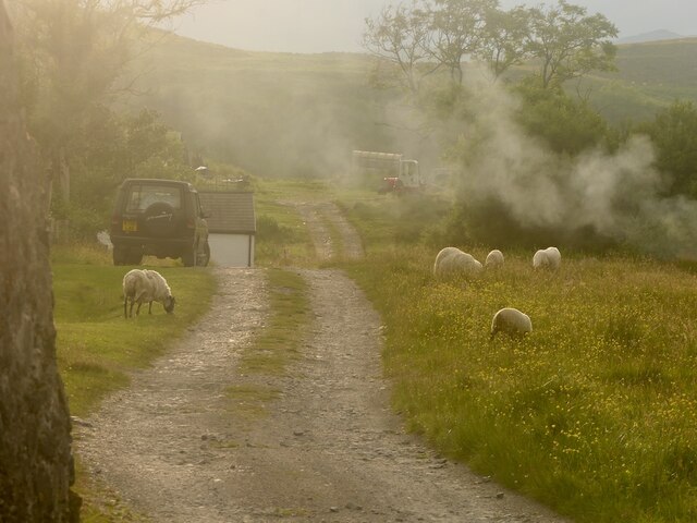
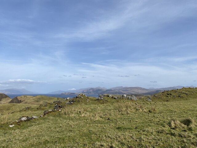
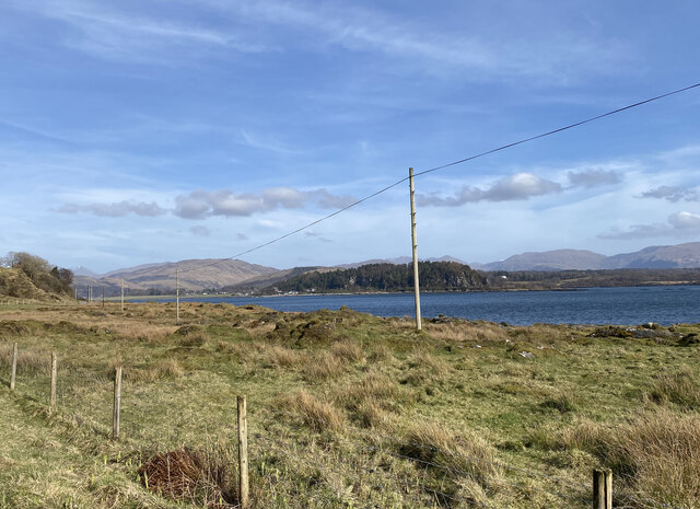
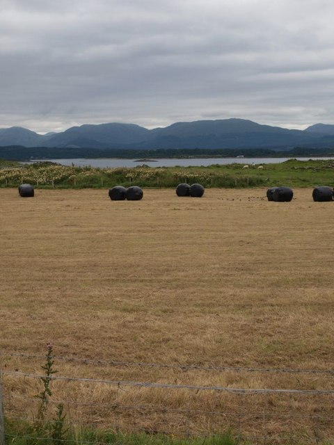
Slughan is a small coastal settlement located in Argyllshire, a county in western Scotland. Situated on the shores of a picturesque bay, Slughan offers stunning views of the surrounding rugged landscape and the sparkling waters of the Atlantic Ocean. The community is nestled amidst rolling hills and lush greenery, making it an idyllic retreat for nature lovers and those seeking tranquility.

With a population of around 200 residents, Slughan is a close-knit and friendly community. The settlement mainly consists of traditional stone houses, giving it a charming and timeless ambiance. The local economy predominantly revolves around fishing and agriculture, with many residents involved in these industries.

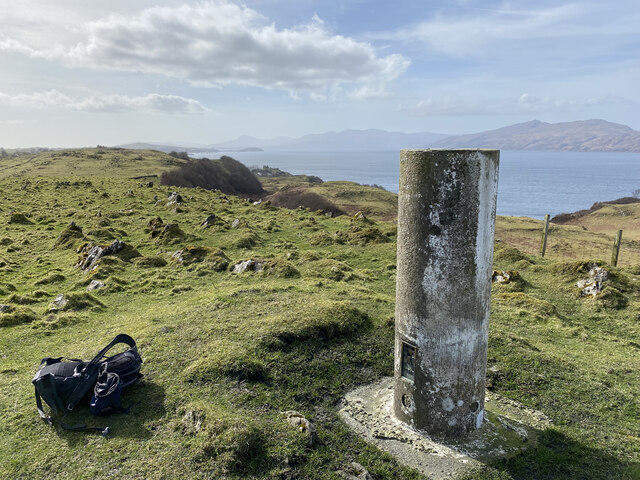
The bay of Slughan serves as a natural harbor, attracting boating enthusiasts and fishermen alike. The waters are abundant with various species of fish, making it an ideal spot for anglers to cast their lines. The bay also offers opportunities for water sports, such as kayaking and sailing, allowing visitors to explore the stunning coastline.

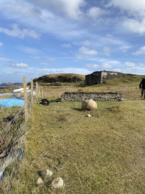
The surrounding area of Slughan boasts a rich history, with evidence of ancient settlements dating back thousands of years. Visitors can explore nearby archaeological sites, including standing stones and burial mounds, which offer insights into the area's past.

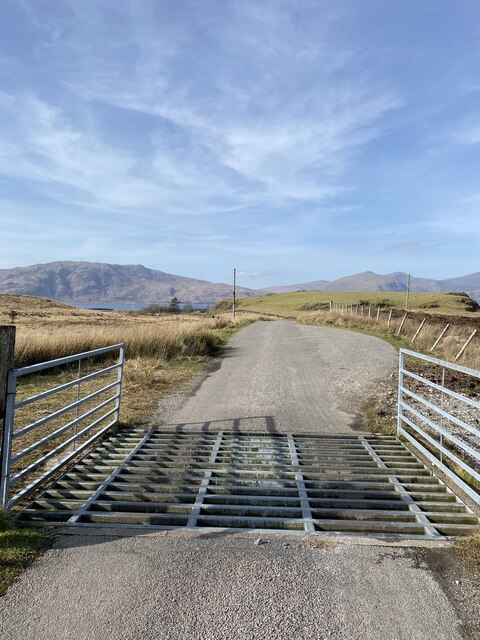
Slughan is an excellent base for outdoor activities, with numerous hiking trails and nature reserves nearby. The rugged terrain and diverse flora and fauna make it a paradise for nature enthusiasts, who can spot a wide range of bird species and explore the beautiful Scottish countryside.

Overall, Slughan is a charming coastal settlement that offers a peaceful escape amidst stunning natural beauty, making it an appealing destination for visitors seeking tranquility and a connection with nature.

If you have any feedback on the listing, please let us know in the comments section below.

Slughan Images

Images are sourced within 2km of 56.551803/-5.4680608 or Grid Reference NM8645. Thanks to Geograph Open Source API. All images are credited.

Laggan The road passing a turfed roofed cottage (locally owned holiday accommodation).
Laggan
The road passing a turfed roofed cottage (locally owned holiday accommodation).
Lime Kiln?
Lime Kiln?
Track towards Fennaerochan
Fennaerochan Trig Point Flush Bracket 10518
Views to the mainland from our lunch spot
Fennachrochan Track Sign Confusing as the track didn't start in 800m and Fennachrochan trig point was more than 800m away
Fennachrochan Track Sign
Confusing as the track didn't start in 800m and Fennachrochan trig point was more than 800m away
Cattle grid near Port Ramsey
Views to Port Appin from Lismore
Old jetty at Port Ramsay The hamlet of Port Ramsay at the north end of the island of Lismore was established in the early 19th century to house workers in the local lime-burning industry. Lime-burning was carried out here until the outbreak of the First World War.
Old jetty at Port Ramsay
The hamlet of Port Ramsay at the north end of the island of Lismore was established in the early 19th century to house workers in the local lime-burning industry. Lime-burning was carried out here until the outbreak of the First World War.
Old cottages at Port Ramsay The hamlet of Port Ramsay at the north end of the island of Lismore was established in the early 19th century to house workers in the local lime-burning industry. Lime-burning was carried out here until the outbreak of the First World War.
Old cottages at Port Ramsay
The hamlet of Port Ramsay at the north end of the island of Lismore was established in the early 19th century to house workers in the local lime-burning industry. Lime-burning was carried out here until the outbreak of the First World War.
Port Ramsay Port Ramsay is very sheltered by Lismore itself and the small islands in the bay. The quarry across Loch Linnhe at Glensanda <a href="https://www.geograph.org.uk/gridref/NM8247">NM8247</a> is almost hidden by the promontory on the west of the bay and by the tree.
Port Ramsay
Port Ramsay is very sheltered by Lismore itself and the small islands in the bay. The quarry across Loch Linnhe at Glensanda NM8247 is almost hidden by the promontory on the west of the bay and by the tree.
Cottages, Port Ramsay The northern end of the terrace.
Cottages, Port Ramsay
The northern end of the terrace.
Port Ramsay Port Ramsay is very sheltered by Lismore itself and the small islands in the bay.
Port Ramsay
Port Ramsay is very sheltered by Lismore itself and the small islands in the bay.
Lime kiln, Port Ramsay The top of the disused kiln, shown in Michael Jagger's photo <a href="https://www.geograph.org.uk/photo/1954654">NM8845 : Derelict Lime Burning Kilns, Port Ramsay, Lismore</a>.
Eilean Ramsay is in the background, with the hills of Kingairloch beyond.
Lime kiln, Port Ramsay
The top of the disused kiln, shown in Michael Jagger's photo NM8845 : Derelict Lime Burning Kilns, Port Ramsay, Lismore. Eilean Ramsay is in the background, with the hills of Kingairloch beyond.
Low tide at Port Ramsay With cattle sun-bathing on the beach.
Sgurr a' Bhuic <a href="https://www.geograph.org.uk/gridref/NM8350">NM8350</a> is in the background.
Low tide at Port Ramsay
With cattle sun-bathing on the beach. Sgurr a' Bhuic NM8350 is in the background.
Stronacroibh
Stronacroibh
Newly cut hayfield on Lismore The hills beyond are on the mainland.
Newly cut hayfield on Lismore
The hills beyond are on the mainland.
Near Achuaran The B8045 near Achuaran on a dull December morning.
Near Achuaran
The B8045 near Achuaran on a dull December morning.
Show me another place!

Slughan is located at Grid Ref: NM8645 (Lat: 56.551803, Lng: -5.4680608)

Unitary Authority: Argyll and Bute

Police Authority: Argyll and West Dunbartonshire

What 3 Words

///jets.menswear.landowner. Near Oban, Argyll & Bute
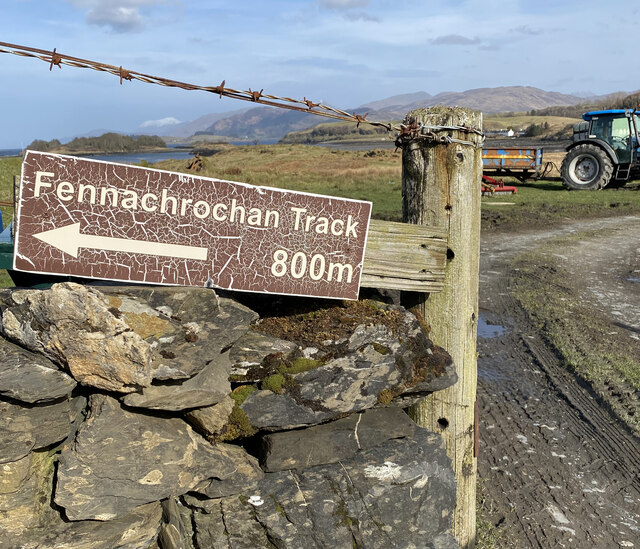
Related Wikis

St Moluag's Cathedral, Lismore

St Moluag's Cathedral is located on the Scottish island of Lismore just off the coast of Oban. As a congregation of the Church of Scotland, which is Presbyterian...

Castle Coeffin

Castle Coeffin is a ruin on the island of Lismore, an island in Loch Linnhe, in Argyll, on the west coast of Scotland. It stands on a promontory on the...

Tirefour Castle

Tirefour Castle, (or Tirefour Broch, also spelled Tirfuir and Tirrefour) is an Iron Age broch located 4 kilometres north of Achnacroish on the island of...

Airds Bay

Airds Bay is a small bay south-west of Port Appin on the west coast of Scotland. It is located at the south-western end of Appin in Argyll and Bute, forming...

Nearby Amenities

Located within 500m of 56.551803,-5.4680608
Alastra
Alt Name: Alasra
Place: locality
Lat/Long: 56.5548836/-5.467352
Camas Mhic Lairtidh
Natural: bay
Lat/Long: 56.5517753/-5.4603242
Port Aoinais
Natural: bay
Lat/Long: 56.5555835/-5.4717396
Slughan
Natural: bay
Lat/Long: 56.551728/-5.468521
Ford: yes
Lat/Long: 56.5496344/-5.4632399
The data included in this document is from www.openstreetmap.org. The data is made available under ODbL.

Have you been to Slughan?

Leave your review of Slughan below (or comments, questions and feedback).