Aber Yw
Bay in Pembrokeshire
Wales
Aber Yw
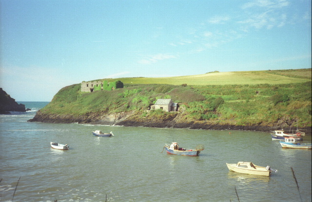
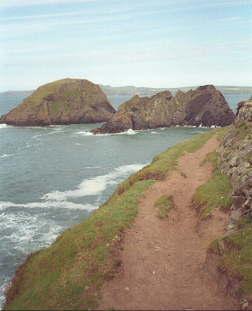
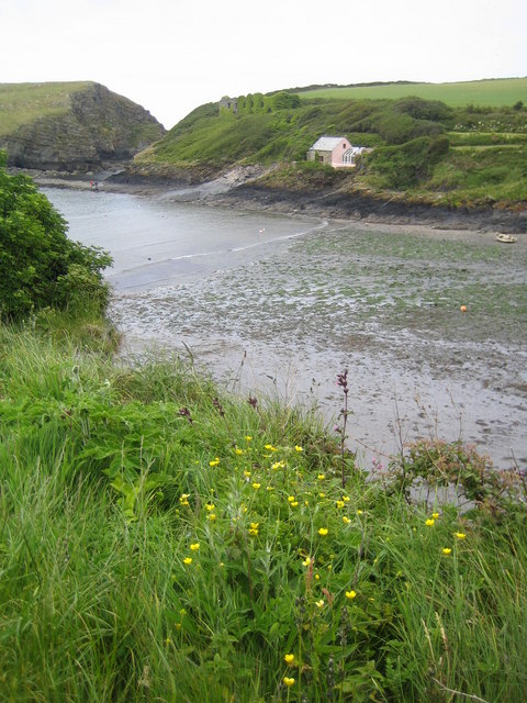
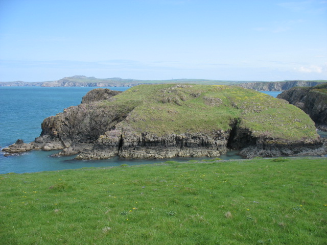
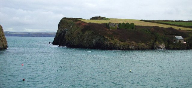
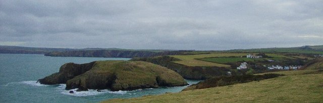
Located in the county of Pembrokeshire, Aber Yw Bay is a stunning coastal area situated on the west coast of Wales, United Kingdom. It is part of the larger Aber Yw peninsula, renowned for its breathtaking natural beauty and rich history. The bay is nestled between the picturesque towns of Aber Yw and Borth, offering visitors a unique blend of coastal charm and scenic landscapes.
Aber Yw Bay boasts a wide sandy beach that stretches for approximately two miles, making it a popular destination for beachgoers and water sports enthusiasts alike. The beach is known for its clean and clear waters, and it has been awarded the prestigious Blue Flag status for its excellent water quality and safety standards.
The bay is also home to a diverse range of wildlife, including seals, dolphins, and a wide variety of seabirds. Nature enthusiasts can enjoy exploring the nearby coastal paths and nature reserves, offering ample opportunities for birdwatching and wildlife spotting.
Aber Yw Bay is steeped in history, with remnants of ancient settlements and medieval castles dotting the landscape. The area has been inhabited for thousands of years, and visitors can explore fascinating historical landmarks such as Aber Yw Castle, which dates back to the 13th century.
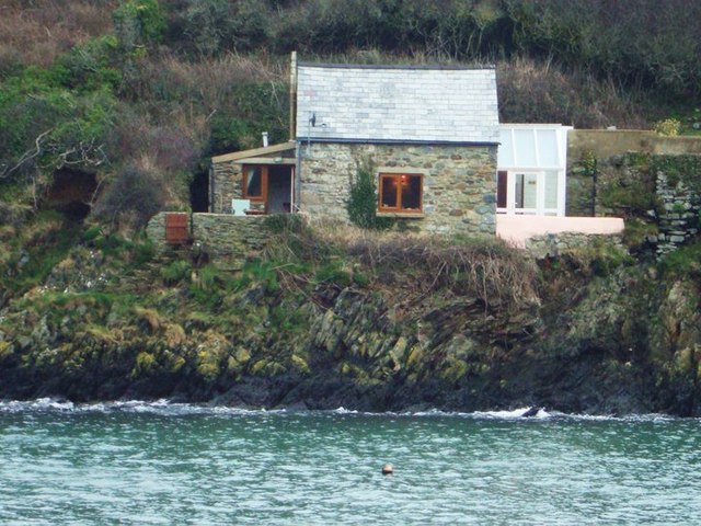
In addition to its natural and historical attractions, Aber Yw Bay offers visitors a range of amenities and facilities. The town of Aber Yw is home to a selection of charming shops, cafes, and restaurants, providing a delightful taste of Welsh hospitality and cuisine.
Overall, Aber Yw Bay is a captivating destination that offers a perfect blend of natural beauty, historical significance, and coastal charm, making it a must-visit location for tourists and locals alike.
If you have any feedback on the listing, please let us know in the comments section below.
Aber Yw Images
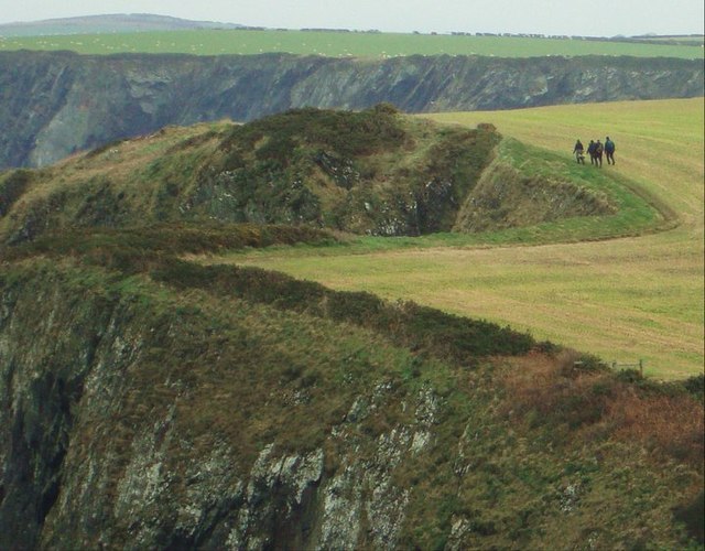
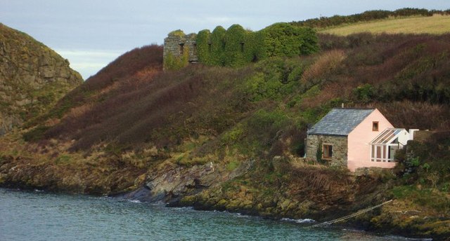
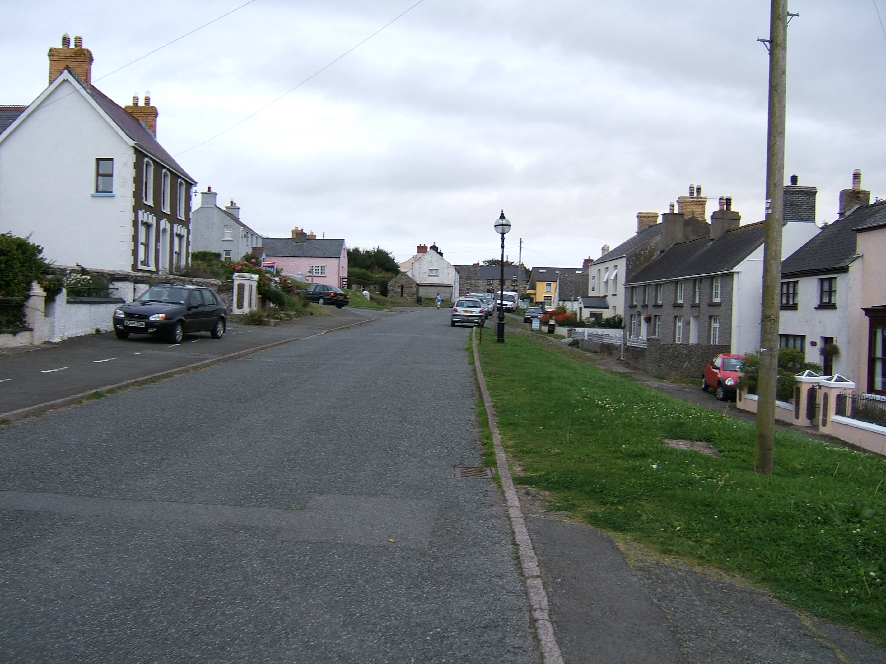
Images are sourced within 2km of 51.961403/-5.1220687 or Grid Reference SM8533. Thanks to Geograph Open Source API. All images are credited.


Aber Yw is located at Grid Ref: SM8533 (Lat: 51.961403, Lng: -5.1220687)
Unitary Authority: Pembrokeshire
Police Authority: Dyfed Powys
What 3 Words
///whirlpool.sprouting.airports. Near Mathry, Pembrokeshire
Related Wikis

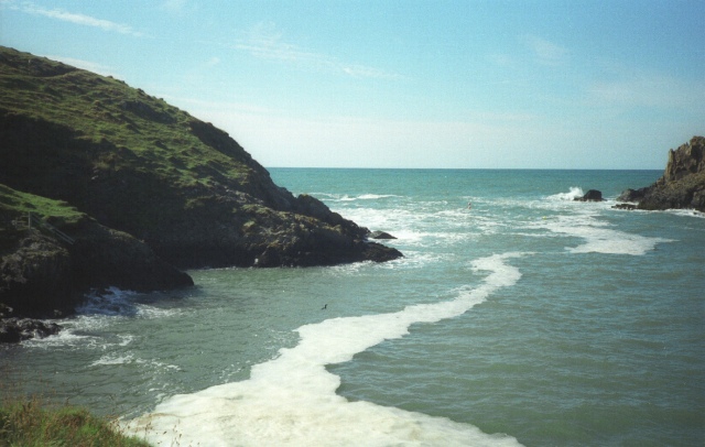
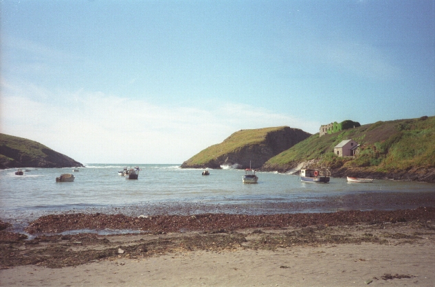
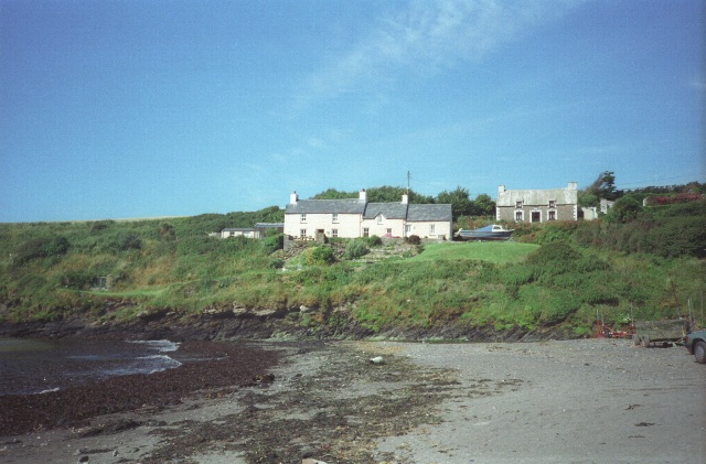
Abercastle
Abercastle (Welsh: Abercastell) is a village in Pembrokeshire, Wales. Abercastle has a working harbour which is managed by Abercastle Boat Owners Association...

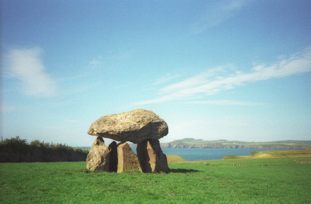
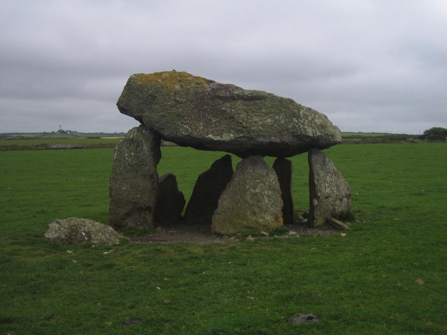
Carreg Samson
Carreg Samson (also known as Carreg Sampson, Samson's Stone, or the Longhouse) is a 5000-year-old Neolithic dolmen located half a mile west of Abercastle...
Dewisland
The Hundred of Dewisland (often written "Dewsland") was a hundred in northwest Pembrokeshire, Wales. Formerly the pre-Norman cantref of Pebidiog, it included...
Trefin
Trefin (Welsh standardised:Tre-fin), formerly anglicised as Trevine, is a village in North Pembrokeshire, south-west Wales. The village lies within the...
Nearby Amenities
Located within 500m of 51.961403,-5.1220687Have you been to Aber Yw?
Leave your review of Aber Yw below (or comments, questions and feedback).