Porth Gwymon Bach
Bay in Pembrokeshire
Wales
Porth Gwymon Bach
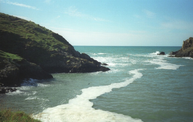
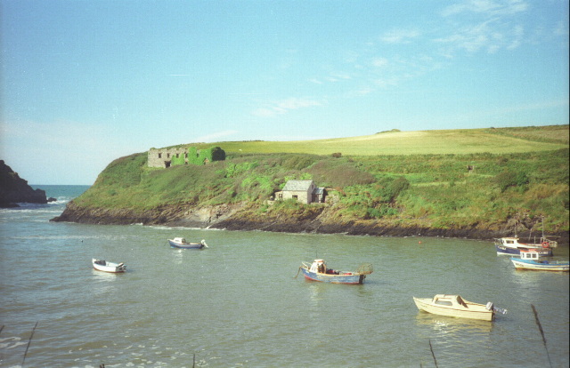
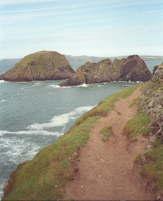
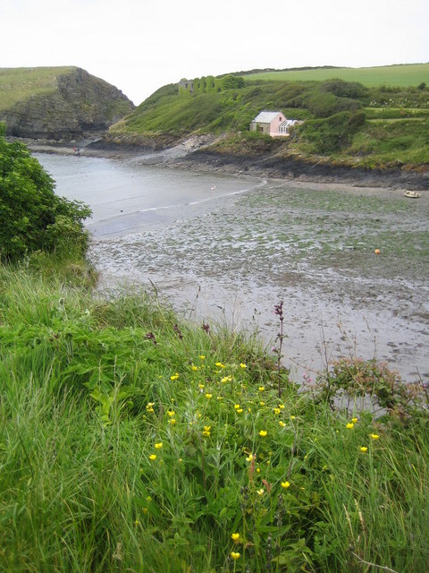
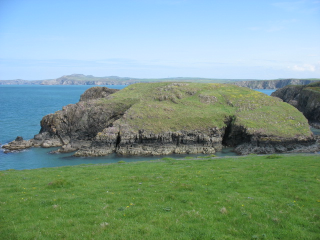
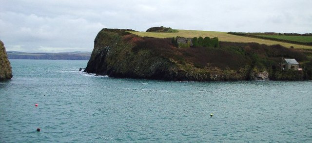
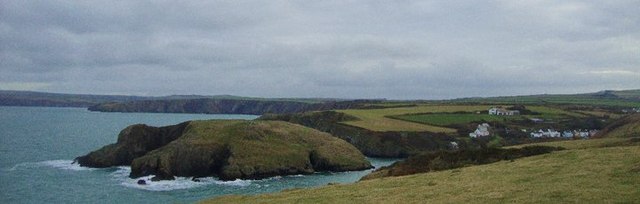
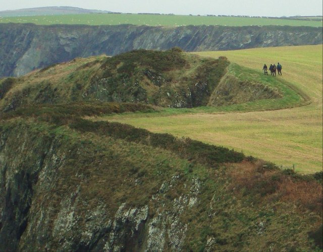
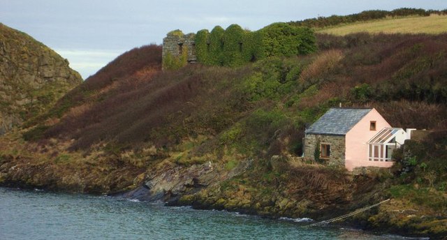
Porth Gwymon Bach, located in Pembrokeshire, Wales, is a picturesque and secluded bay known for its stunning natural beauty. The bay is surrounded by towering cliffs and rugged rock formations, creating a dramatic backdrop against the crystal-clear waters of the Celtic Sea. The beach itself is a mix of golden sand and pebbles, making it a popular spot for sunbathing, picnicking, and exploring the tide pools.
Porth Gwymon Bach is also a great place for water activities such as swimming, snorkeling, and kayaking, with its calm waters and gentle waves providing ideal conditions for beginners and experienced water enthusiasts alike. The bay is often frequented by wildlife, including seals and seabirds, making it a great spot for birdwatching and wildlife photography.
Access to Porth Gwymon Bach is limited, with a steep and narrow path leading down to the beach, adding to its secluded and peaceful atmosphere. Visitors to Porth Gwymon Bach can enjoy a tranquil and unspoiled natural environment, perfect for those looking to escape the hustle and bustle of everyday life.
If you have any feedback on the listing, please let us know in the comments section below.
Porth Gwymon Bach Images
Images are sourced within 2km of 51.961238/-5.1184757 or Grid Reference SM8533. Thanks to Geograph Open Source API. All images are credited.


Porth Gwymon Bach is located at Grid Ref: SM8533 (Lat: 51.961238, Lng: -5.1184757)
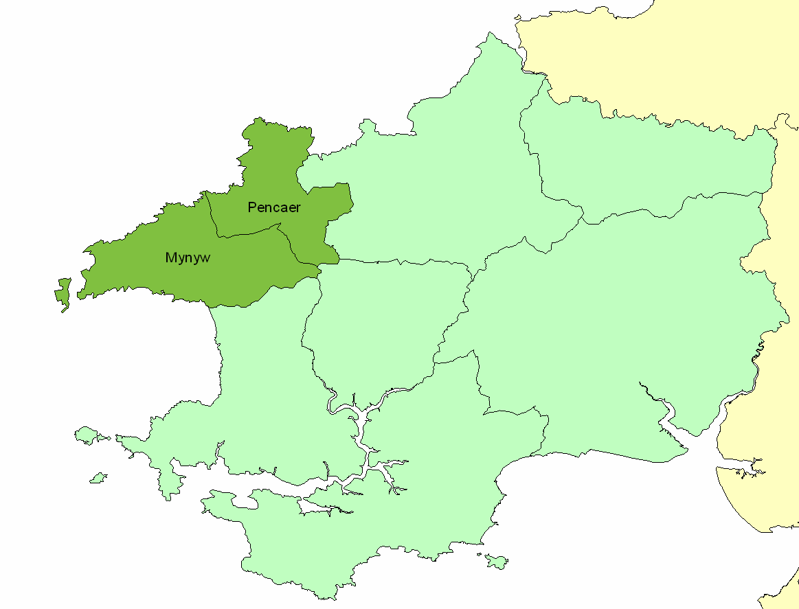
Unitary Authority: Pembrokeshire
Police Authority: Dyfed Powys
What 3 Words
///nappy.prime.impeached. Near Mathry, Pembrokeshire
Nearby Locations
Related Wikis

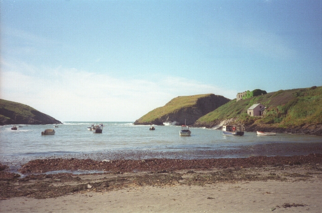
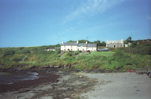
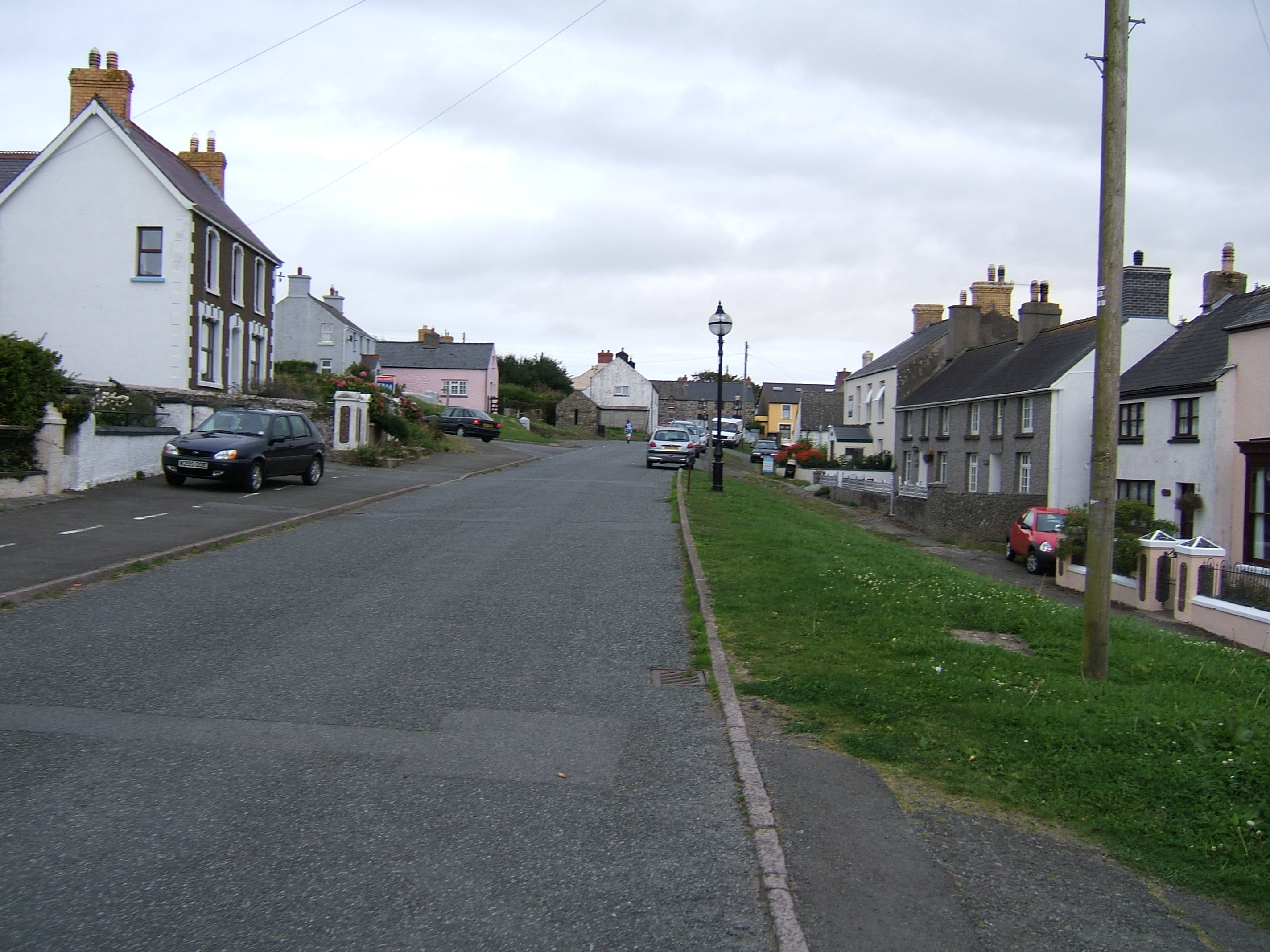
Abercastle
Abercastle (Welsh: Abercastell) is a village in Pembrokeshire, Wales. Abercastle has a working harbour which is managed by Abercastle Boat Owners Association...

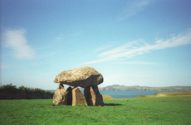
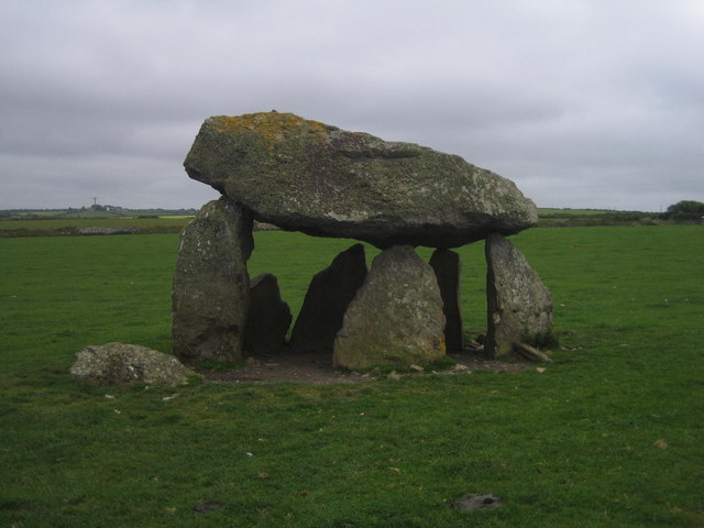
Carreg Samson
Carreg Samson (also known as Carreg Sampson, Samson's Stone, or the Longhouse) is a 5000-year-old Neolithic dolmen located half a mile west of Abercastle...
Dewisland
The Hundred of Dewisland (often written "Dewsland") was a hundred in northwest Pembrokeshire, Wales. Formerly the pre-Norman cantref of Pebidiog, it included...
Trefin
Trefin (Welsh standardised:Tre-fin), formerly anglicised as Trevine, is a village in North Pembrokeshire, south-west Wales. The village lies within the...
Nearby Amenities
Located within 500m of 51.961238,-5.1184757Have you been to Porth Gwymon Bach?
Leave your review of Porth Gwymon Bach below (or comments, questions and feedback).