Grave of Sampson's Finger
Coastal Feature, Headland, Point in Pembrokeshire
Wales
Grave of Sampson's Finger
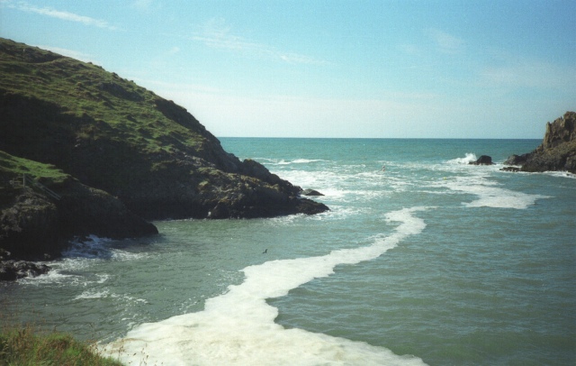
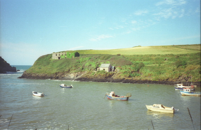
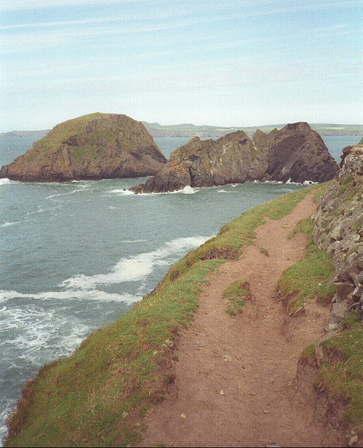
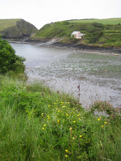
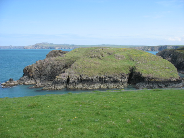
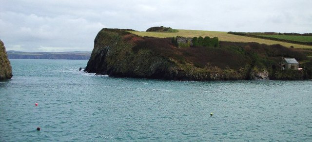
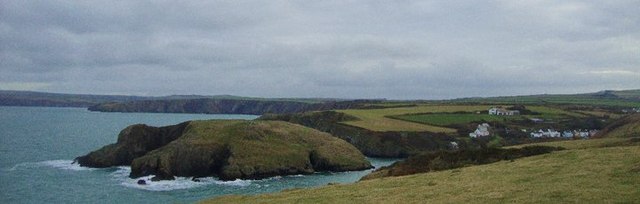
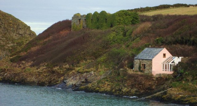
Grave of Sampson's Finger is a coastal feature located in Pembrokeshire, Wales. It is a unique headland that juts out into the sea, offering stunning views of the surrounding coastline. The name is said to come from a local legend about a giant named Sampson whose finger was severed and buried at the site.
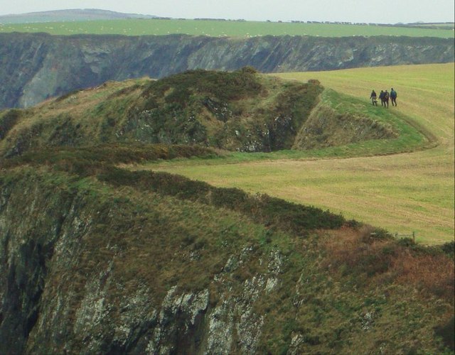
The headland is characterized by rugged cliffs and rocky outcrops, making it a popular spot for hiking and birdwatching. Visitors can explore the coastal paths that wind around the headland, taking in the breathtaking scenery and watching for seabirds and other wildlife.
The Grave of Sampson's Finger is also known for its historical significance, with ancient ruins and archaeological sites scattered throughout the area. The headland is a designated Site of Special Scientific Interest, due to its unique geology and diverse plant and animal species.
Overall, Grave of Sampson's Finger is a must-visit destination for nature lovers, history enthusiasts, and anyone looking to experience the beauty of the Pembrokeshire coast.
If you have any feedback on the listing, please let us know in the comments section below.
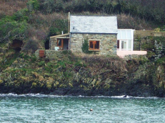
Grave of Sampson's Finger Images
Images are sourced within 2km of 51.961954/-5.1291098 or Grid Reference SM8533. Thanks to Geograph Open Source API. All images are credited.

Grave of Sampson's Finger is located at Grid Ref: SM8533 (Lat: 51.961954, Lng: -5.1291098)
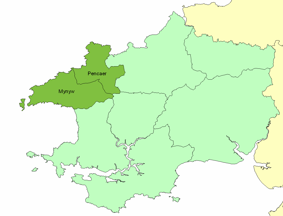
Unitary Authority: Pembrokeshire
Police Authority: Dyfed Powys
What 3 Words
///typhoon.including.rubble. Near Mathry, Pembrokeshire
Nearby Locations
Related Wikis

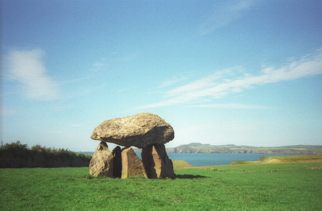
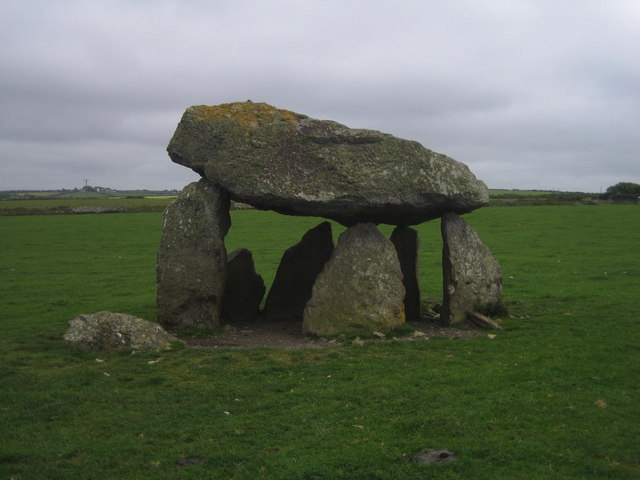
Carreg Samson
Carreg Samson (also known as Carreg Sampson, Samson's Stone, or the Longhouse) is a 5000-year-old Neolithic dolmen located half a mile west of Abercastle...

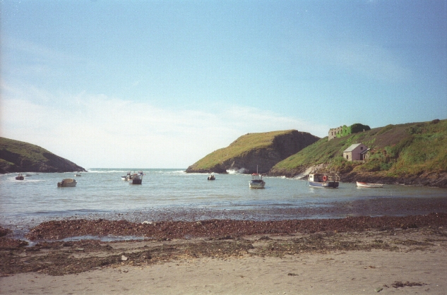
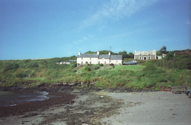
Abercastle
Abercastle (Welsh: Abercastell) is a village in Pembrokeshire, Wales. Abercastle has a working harbour which is managed by Abercastle Boat Owners Association...
Dewisland
The Hundred of Dewisland (often written "Dewsland") was a hundred in northwest Pembrokeshire, Wales. Formerly the pre-Norman cantref of Pebidiog, it included...
Trefin
Trefin (Welsh standardised:Tre-fin), formerly anglicised as Trevine, is a village in North Pembrokeshire, south-west Wales. The village lies within the...
Nearby Amenities
Located within 500m of 51.961954,-5.1291098Have you been to Grave of Sampson's Finger?
Leave your review of Grave of Sampson's Finger below (or comments, questions and feedback).