Ynys y Castell
Island in Pembrokeshire
Wales
Ynys y Castell
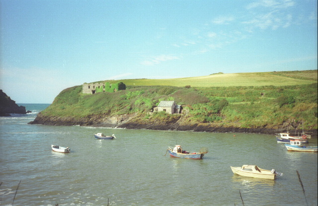
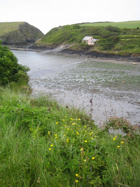
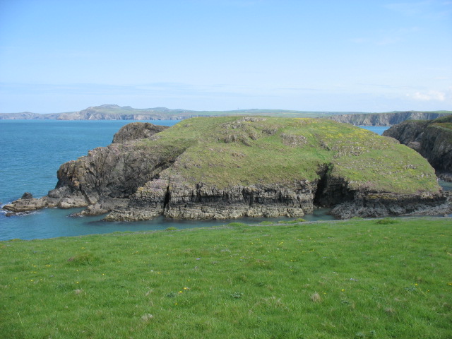
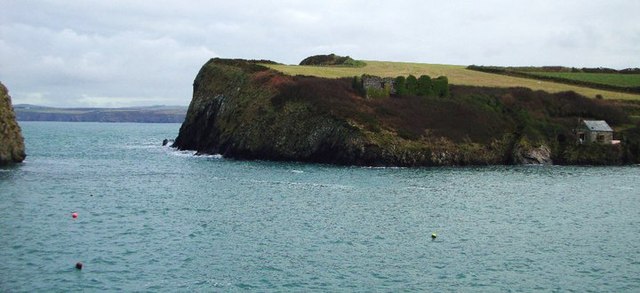
Ynys y Castell, also known as Castle Island, is a small rocky island located off the coast of Pembrokeshire in southwest Wales. It is situated approximately 1.5 kilometers west of the town of Tenby and is accessible by foot during low tide or by boat during high tide.
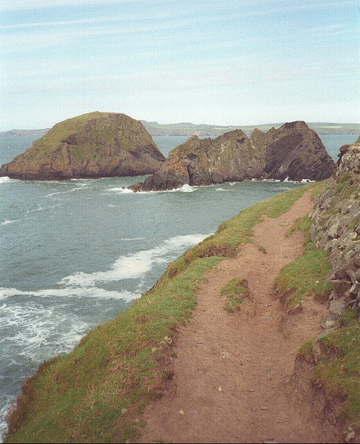
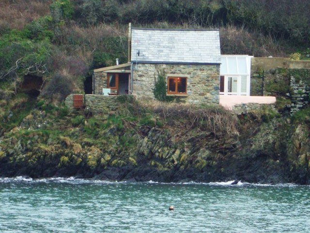
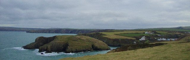
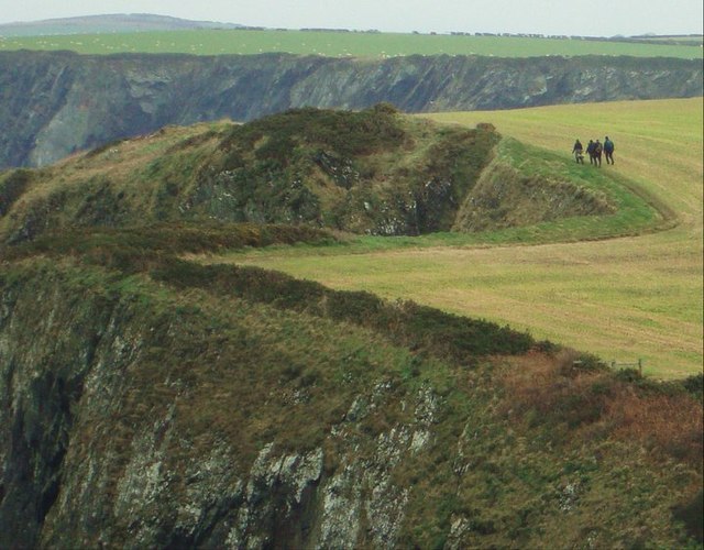
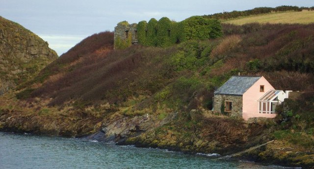
The island is characterized by its rugged and picturesque landscape, with steep cliffs and rocky outcrops. It measures about 300 meters in length and 150 meters in width, covering an area of around 3 hectares. Ynys y Castell gets its name from the ruins of a medieval castle that once stood on its highest point, although only a few ruins and earthworks remain today.
The island is rich in wildlife and is designated as a Site of Special Scientific Interest (SSSI). It is home to a variety of seabirds, including puffins, razorbills, and guillemots, which nest on the cliffs. The surrounding waters are also teeming with marine life, making it a popular spot for divers and snorkelers.
Ynys y Castell is a popular destination for tourists and locals alike, offering stunning panoramic views of the Pembrokeshire coastline. Visitors can explore the island's rugged terrain, walk along its rocky shorelines, or simply relax and enjoy the peacefulness of the surroundings. However, it is essential for visitors to be mindful of the tides and weather conditions, as the island can become cut off during high tide.
If you have any feedback on the listing, please let us know in the comments section below.
Ynys y Castell Images
Images are sourced within 2km of 51.962188/-5.1291116 or Grid Reference SM8533. Thanks to Geograph Open Source API. All images are credited.


Ynys y Castell is located at Grid Ref: SM8533 (Lat: 51.962188, Lng: -5.1291116)
Unitary Authority: Pembrokeshire
Police Authority: Dyfed Powys
What 3 Words
///shampoo.shirtless.overused. Near Mathry, Pembrokeshire
Nearby Locations
Related Wikis

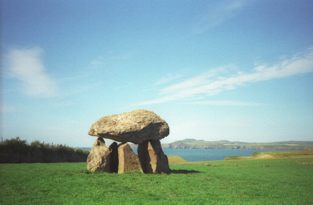
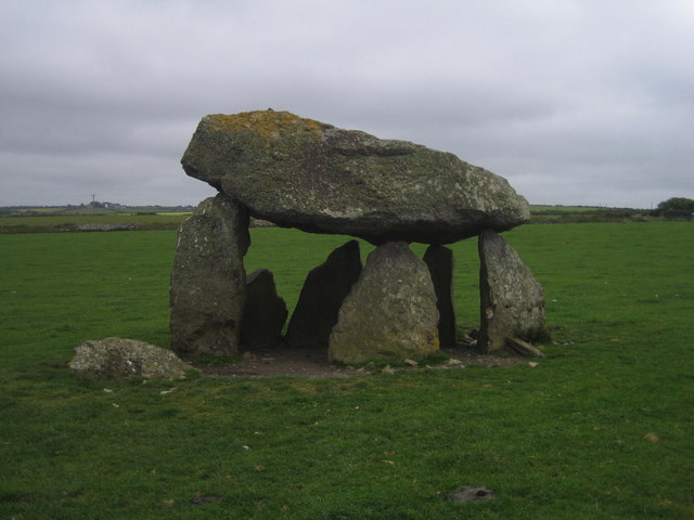
Carreg Samson
Carreg Samson (also known as Carreg Sampson, Samson's Stone, or the Longhouse) is a 5000-year-old Neolithic dolmen located half a mile west of Abercastle...

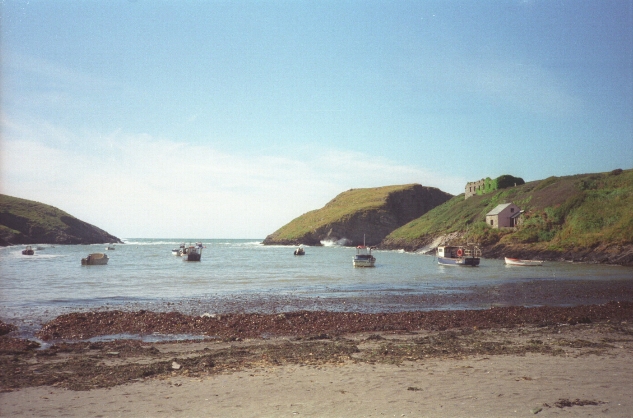
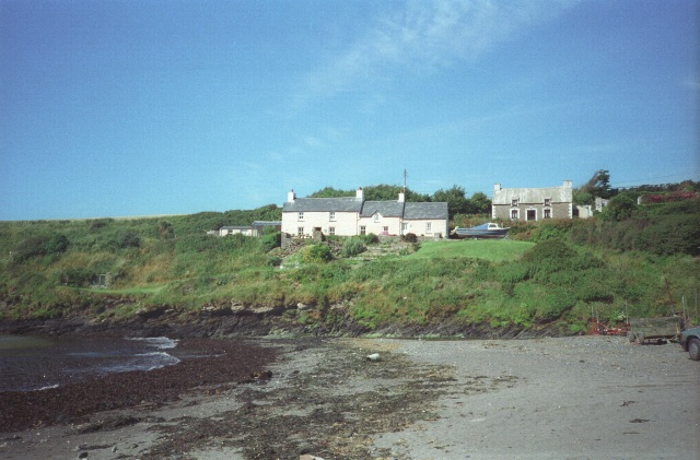
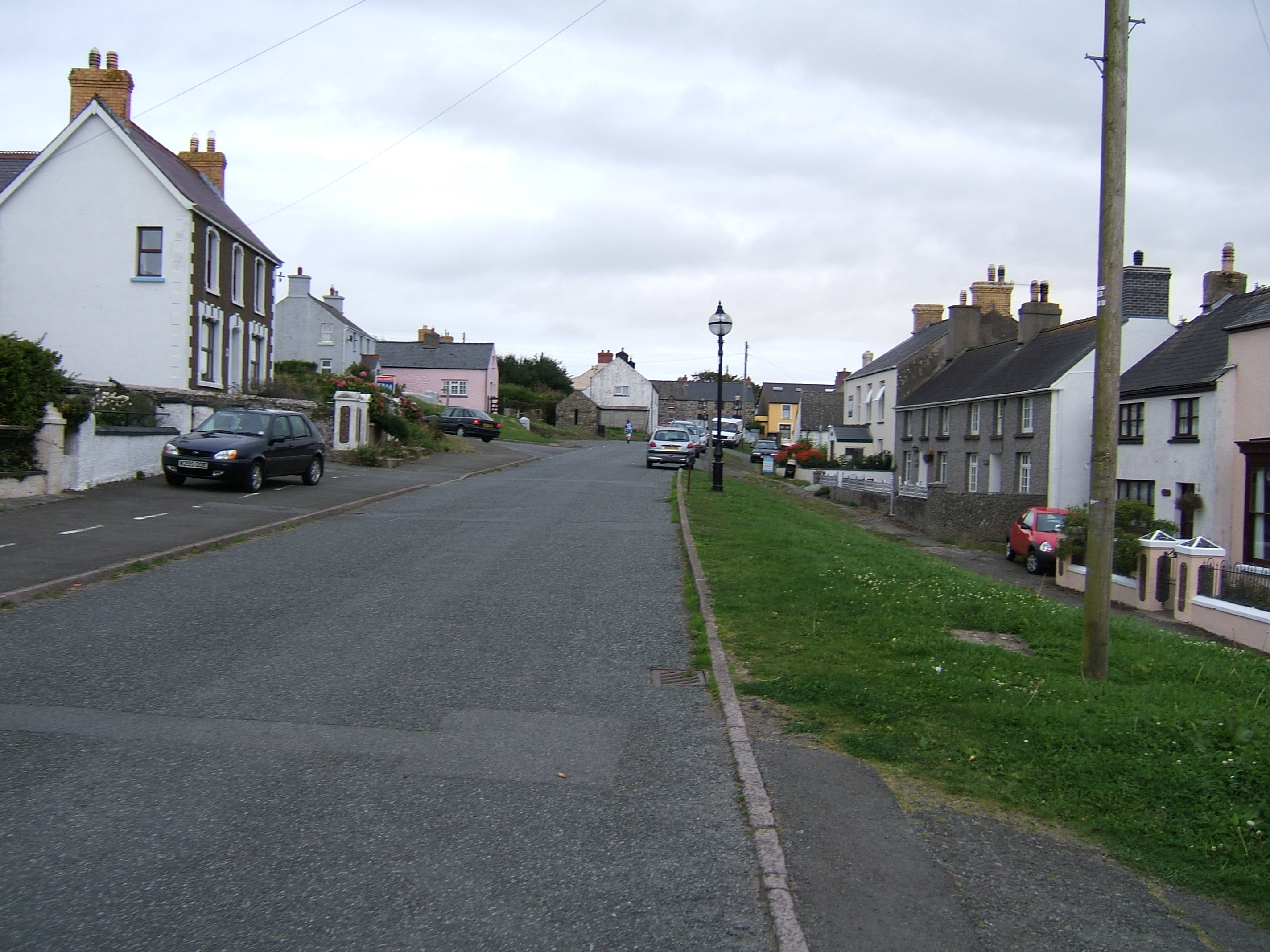
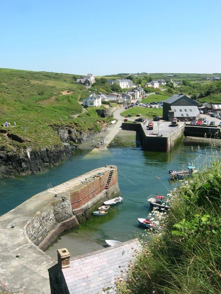
Abercastle
Abercastle (Welsh: Abercastell) is a village in Pembrokeshire, Wales. Abercastle has a working harbour which is managed by Abercastle Boat Owners Association...
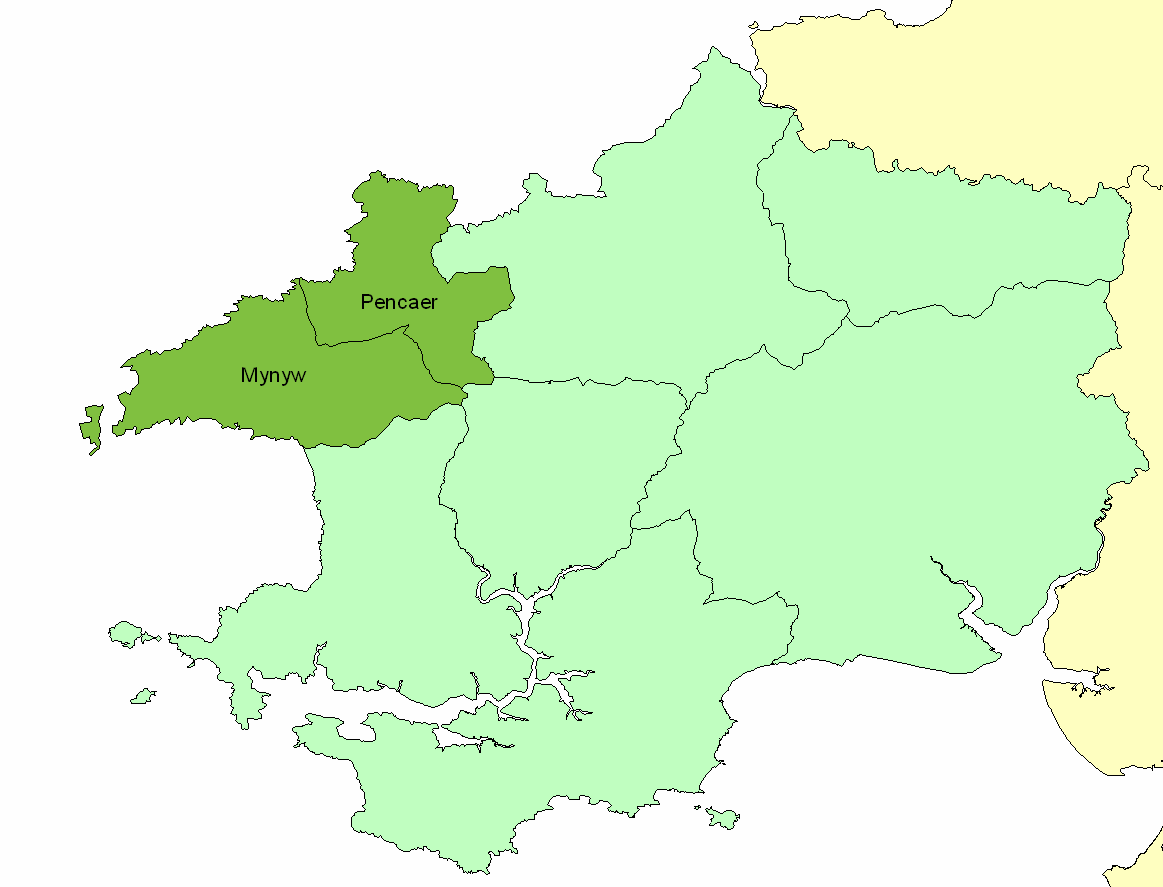
Dewisland
The Hundred of Dewisland (often written "Dewsland") was a hundred in northwest Pembrokeshire, Wales. Formerly the pre-Norman cantref of Pebidiog, it included...
Trefin
Trefin (Welsh standardised:Tre-fin), formerly anglicised as Trevine, is a village in North Pembrokeshire, south-west Wales. The village lies within the...

Penparc, Pembrokeshire
Penparc is a village in the community of Llanrhian, Pembrokeshire, Wales. Located near Trefin and Croesgoch, the village also includes the settlement of...
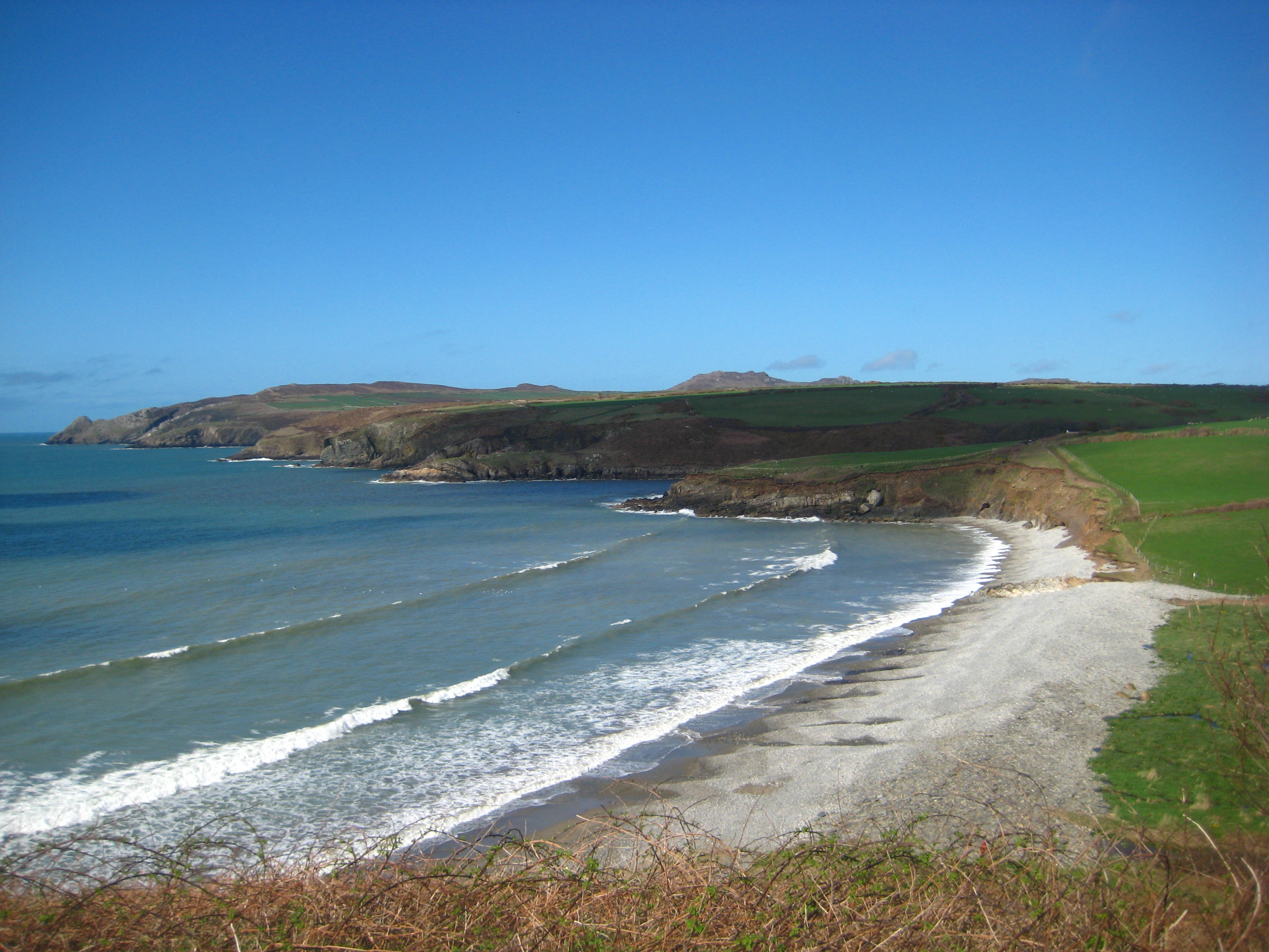
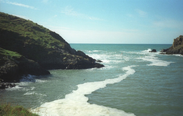
Abermawr
Abermawr is a stretch of coastline and is regarded as a Site of Special Scientific Interest in Pembrokeshire, Wales. Abermawr is a mostly shingle beach...

Mathry
Mathry (Welsh: Mathri) is a village, community and parish in Pembrokeshire, Wales. The hilltop village is 6 miles (9.7 km) southwest of Fishguard, close...
Porthgain Railway
The Porthgain Railway was a 3 ft (914 mm) narrow gauge industrial railway connecting the Pen Clegyr and St. Bride's quarries with Porthgain harbour. It...
Nearby Amenities
Located within 500m of 51.962188,-5.1291116Have you been to Ynys y Castell?
Leave your review of Ynys y Castell below (or comments, questions and feedback).