Watergate Bay

Bay in Cornwall

England

Watergate Bay

Rocks at Trevelgue Head View north from the footbridge joining the promontory to the mainland.
Rocks at Trevelgue Head Credit: David Weston

The requested URL returned error: 429 Too Many Requests

If you have any feedback on the listing, please let us know in the comments section below.

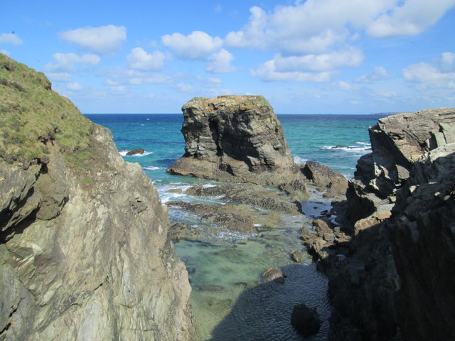
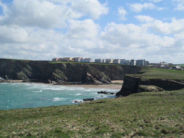
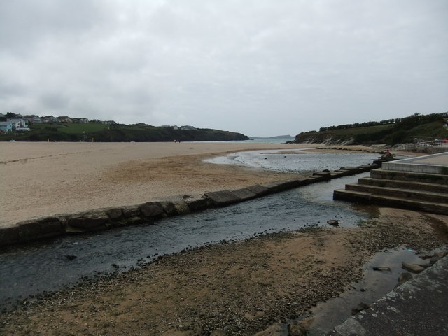
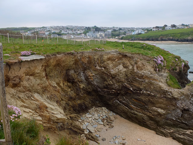
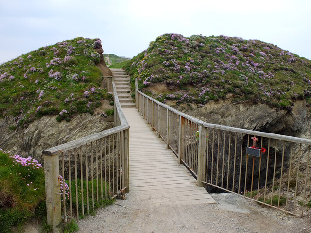
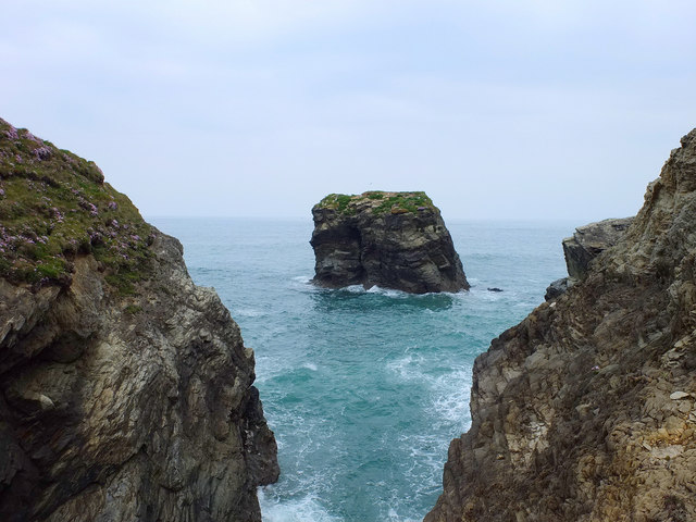
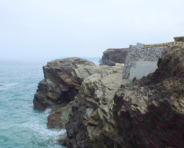
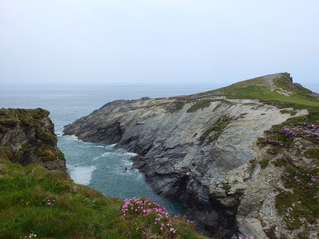
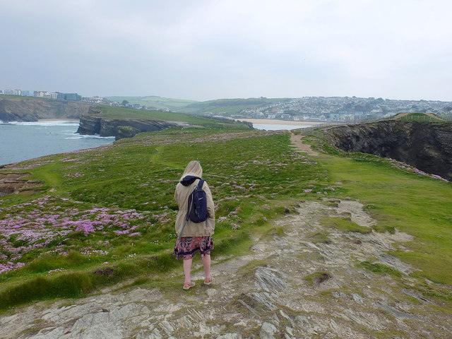
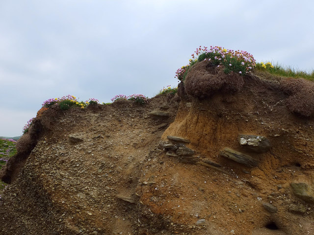
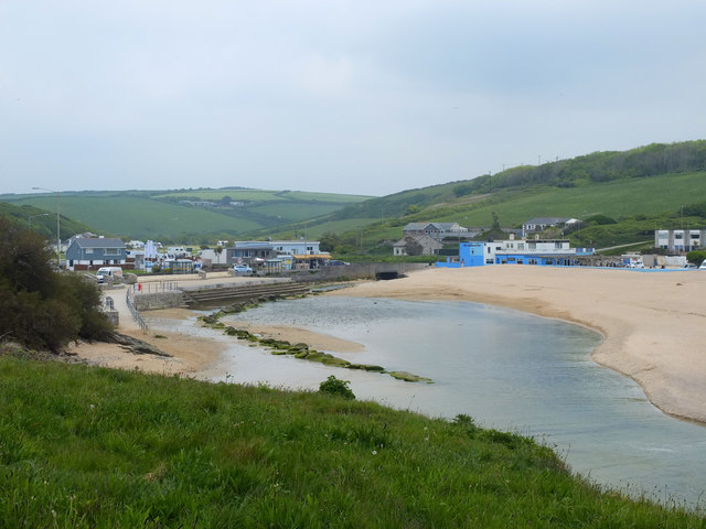
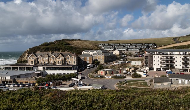
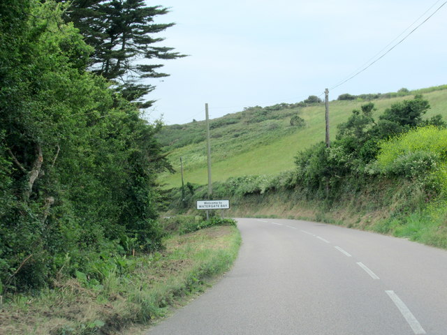
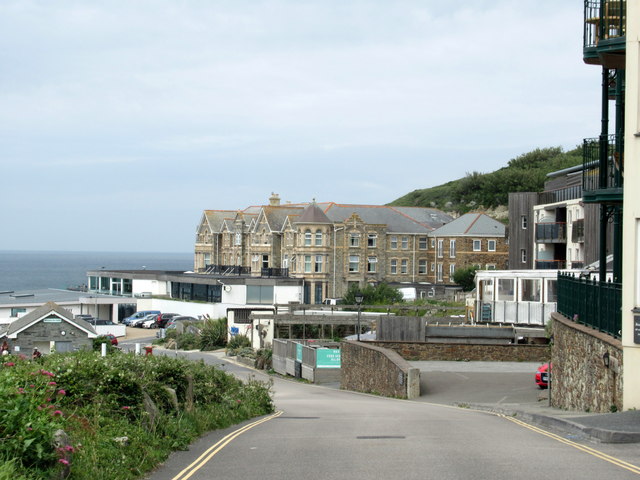
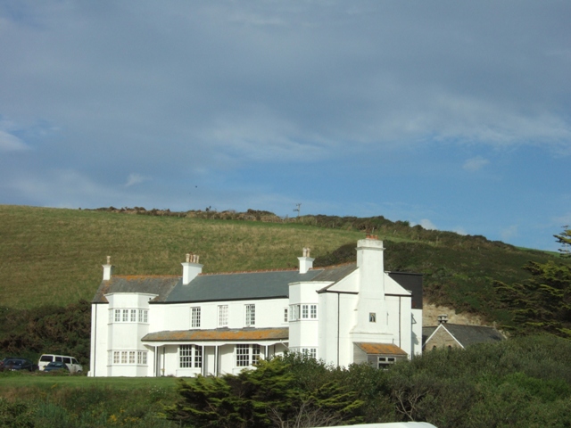
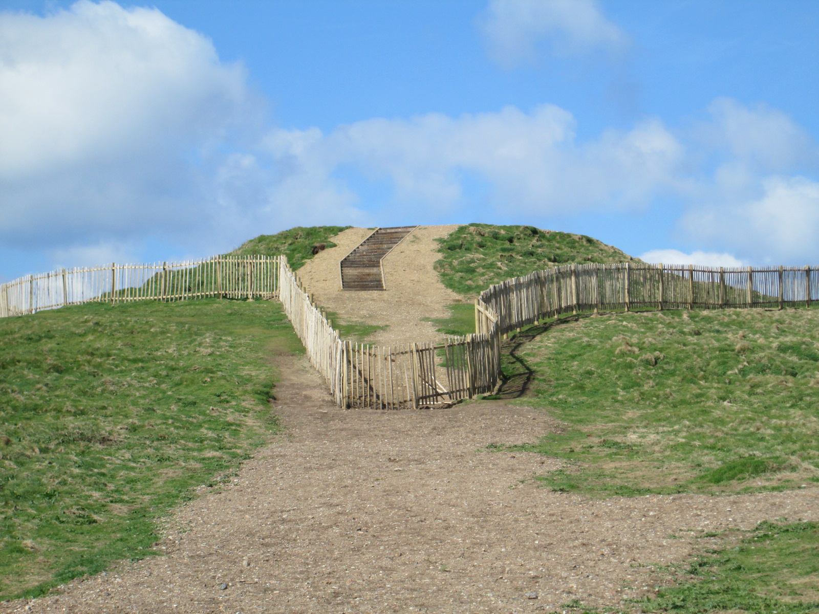
Watergate Bay Images

Images are sourced within 2km of 50.442687/-5.0529897 or Grid Reference SW8364. Thanks to Geograph Open Source API. All images are credited.

Rocks at Trevelgue Head View north from the footbridge joining the promontory to the mainland.
Rocks at Trevelgue Head
View north from the footbridge joining the promontory to the mainland.
View east from Trevelgue Head Seen from Trevelgue Head, the coastline to the north-east.
View east from Trevelgue Head
Seen from Trevelgue Head, the coastline to the north-east.
Northward at Watergate Bay, 1995 Northward on the B3276 road to Stem Point and Griffins Point, past the celebrated Watergate Bay Hotel. {Cf. <a href="https://www.geograph.org.uk/photo/523402">SW8464 : Watergate Bay Hotel</a>}.
Northward at Watergate Bay, 1995
Northward on the B3276 road to Stem Point and Griffins Point, past the celebrated Watergate Bay Hotel. {Cf. SW8464 : Watergate Bay Hotel}.
Beach at Porth
Beach at Porth
Old Milestone by the B3276, Watergate Road Carved stone post by the B3276, in parish of NEWQUAY (RESTORMEL District), in lay-by, to left of footpath sign, on North side of road, remains of white paint (2001). Gravestone, erected by the parish in the 19th century. 

Inscription invisible.

Milestone Society National ID: CW_PSNQ.
Old Milestone by the B3276, Watergate Road
Carved stone post by the B3276, in parish of NEWQUAY (RESTORMEL District), in lay-by, to left of footpath sign, on North side of road, remains of white paint (2001). Gravestone, erected by the parish in the 19th century. Inscription invisible. Milestone Society National ID: CW_PSNQ.
Coastal Erosion at Trevelgue Head
Footbridge to Porth Island
Norwegian Rock North East of Porth Island, Cornwall
Norwegian Rock
North East of Porth Island, Cornwall
Coastal Erosion Prevention at Trevelgue Head Protecting the coastal path
Coastal Erosion Prevention at Trevelgue Head
Protecting the coastal path
Trevelgue Head
Trevelgue Head
Trevelgue Head, Cornwall
Soil Profile, Porth Island
Porth Beach, Cornwall
Porth Reservoir Drain at Porth Beach
Watergate
Watergate
B3276 Watergate Bay Village Sign
Entering Watergate Bay
Porth Village Sign
Porth Village Sign
Show me another place!

Watergate Bay is located at Grid Ref: SW8364 (Lat: 50.442687, Lng: -5.0529897)

Unitary Authority: Cornwall

Police Authority: Devon and Cornwall

What 3 Words

///forgiving.contracting.butterfly. Near Newquay, Cornwall

Related Wikis

Boardmasters Festival

Boardmasters Festival is an annual event held in Cornwall, United Kingdom, usually spanning five days on the second weekend of August. The event is a combination...

Watergate Beach

Watergate Beach is a two-mile-long stretch of sandy beach on the Atlantic coast of north Cornwall, England, United Kingdom. It is situated in Watergate...

Tregurrian

Tregurrian (Cornish: Tregoryan, meaning Coryan's farm) is a hamlet 2 miles north-northeast of Newquay, on the north coast of Cornwall, England, United...

Trevelgue Head

Trevelgue Head, also known as Porth Island, is a headland north-east of Newquay, Cornwall, England, next to Porth at the eastern end of Newquay Bay. It...

Have you been to Watergate Bay?

Leave your review of Watergate Bay below (or comments, questions and feedback).