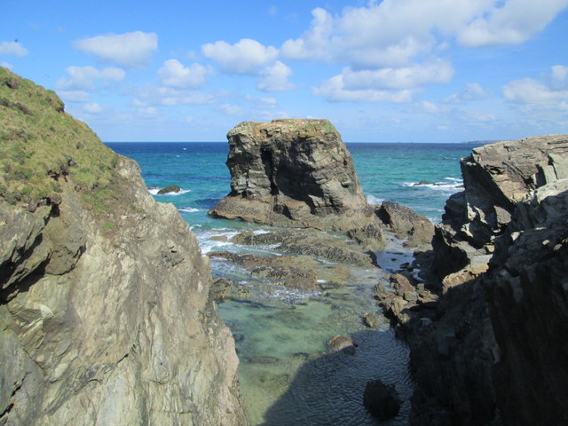
Sweden Rock

Island in Cornwall

England

Sweden Rock

Rocks at Trevelgue Head View north from the footbridge joining the promontory to the mainland.
Rocks at Trevelgue Head Credit: David Weston

The requested URL returned error: 429 Too Many Requests

If you have any feedback on the listing, please let us know in the comments section below.
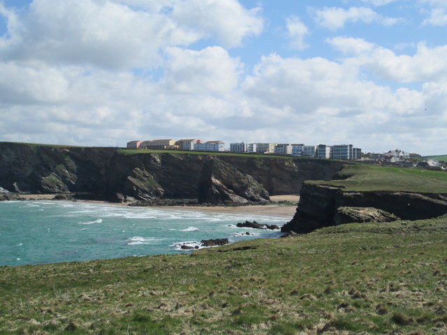
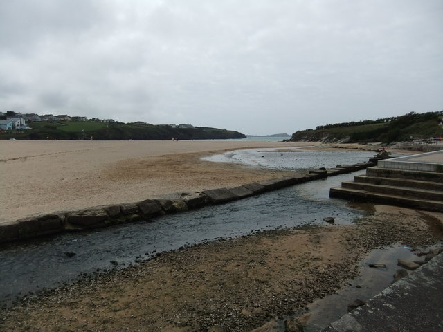
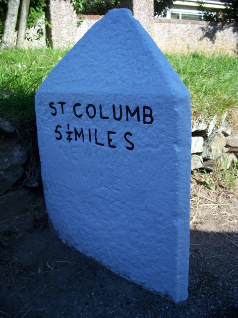
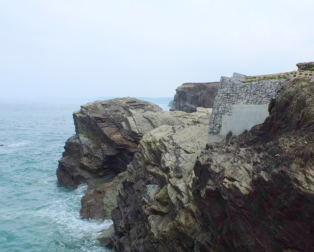
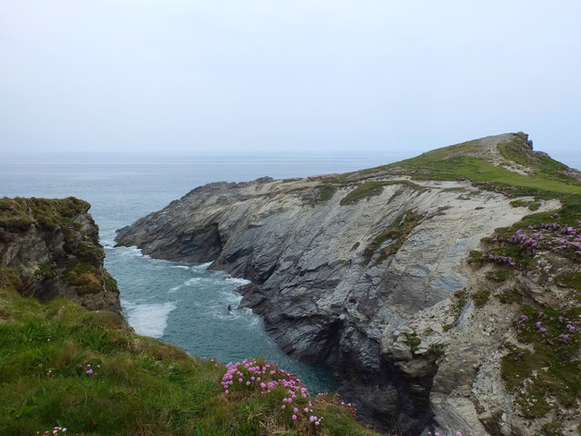
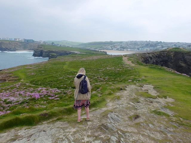
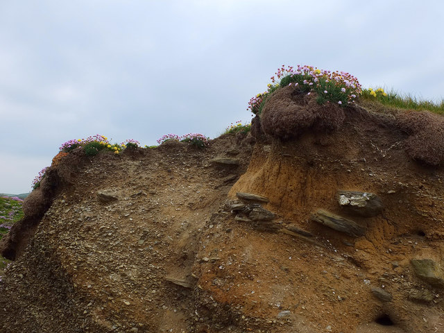
Sweden Rock Images

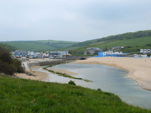
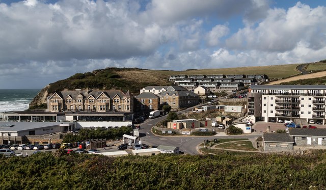
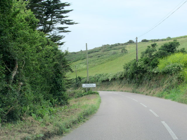
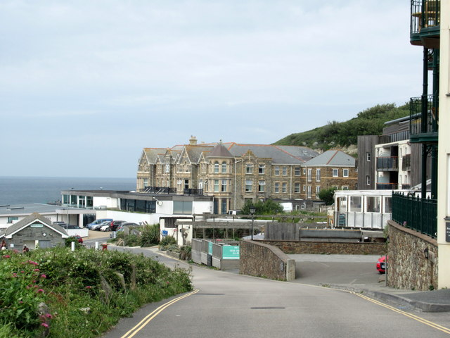
Images are sourced within 2km of 50.436237/-5.0495463 or Grid Reference SW8364. Thanks to Geograph Open Source API. All images are credited.

Rocks at Trevelgue Head View north from the footbridge joining the promontory to the mainland.
Rocks at Trevelgue Head
View north from the footbridge joining the promontory to the mainland.
View east from Trevelgue Head Seen from Trevelgue Head, the coastline to the north-east.
View east from Trevelgue Head
Seen from Trevelgue Head, the coastline to the north-east.
Northward at Watergate Bay, 1995 Northward on the B3276 road to Stem Point and Griffins Point, past the celebrated Watergate Bay Hotel. {Cf. <a href="https://www.geograph.org.uk/photo/523402">SW8464 : Watergate Bay Hotel</a>}.
Northward at Watergate Bay, 1995
Northward on the B3276 road to Stem Point and Griffins Point, past the celebrated Watergate Bay Hotel. {Cf. SW8464 : Watergate Bay Hotel}.
Beach at Porth
Beach at Porth
Old Milestone by the A3059, Church Street, St Columb Minor Carved stone post by the A3059, in parish of NEWQUAY (RESTORMEL District), Church Street, St Columb Minor; by bungalow, by the road, on North side of road.   Erected by the Local Highways Board in the 19th century. 

Inscription reads:-
: St COLUMB / 5¼ MILES : : NEWQUAY / 2 MILES : 
Carved benchmark and rivet on top.

Grade II Listed. List Entry Number: 1312187
<span class="nowrap"><a title="https://historicengland.org.uk/listing/the-list/list-entry/1312187" rel="nofollow ugc noopener" href="https://historicengland.org.uk/listing/the-list/list-entry/1312187">Link</a><img style="margin-left:2px;" alt="External link" title="External link - shift click to open in new window" src="https://s1.geograph.org.uk/img/external.png" width="10" height="10"/></span>

Milestone Society National ID: CW_NQSC02.
Old Milestone by the A3059, Church Street, St Columb Minor
Carved stone post by the A3059, in parish of NEWQUAY (RESTORMEL District), Church Street, St Columb Minor; by bungalow, by the road, on North side of road. Erected by the Local Highways Board in the 19th century. Inscription reads:- : St COLUMB / 5¼ MILES : : NEWQUAY / 2 MILES : Carved benchmark and rivet on top. Grade II Listed. List Entry Number: 1312187 LinkExternal link Milestone Society National ID: CW_NQSC02.
Old Milestone by the B3276, Watergate Road Carved stone post by the B3276, in parish of NEWQUAY (RESTORMEL District), in lay-by, to left of footpath sign, on North side of road, remains of white paint (2001). Gravestone, erected by the parish in the 19th century. 

Inscription invisible.

Milestone Society National ID: CW_PSNQ.
Old Milestone by the B3276, Watergate Road
Carved stone post by the B3276, in parish of NEWQUAY (RESTORMEL District), in lay-by, to left of footpath sign, on North side of road, remains of white paint (2001). Gravestone, erected by the parish in the 19th century. Inscription invisible. Milestone Society National ID: CW_PSNQ.
Coastal Erosion at Trevelgue Head
Footbridge to Porth Island
Norwegian Rock North East of Porth Island, Cornwall
Norwegian Rock
North East of Porth Island, Cornwall
Coastal Erosion Prevention at Trevelgue Head Protecting the coastal path
Coastal Erosion Prevention at Trevelgue Head
Protecting the coastal path
Trevelgue Head
Trevelgue Head
Trevelgue Head, Cornwall
Soil Profile, Porth Island
Porth Beach, Cornwall
Porth Reservoir Drain at Porth Beach
Watergate
Watergate
B3276 Watergate Bay Village Sign
Entering Watergate Bay
Show me another place!

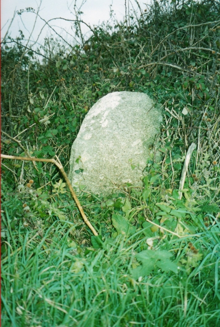
Sweden Rock is located at Grid Ref: SW8364 (Lat: 50.436237, Lng: -5.0495463)

Unitary Authority: Cornwall

Police Authority: Devon and Cornwall

What 3 Words

///trackers.vest.escorting. Near Newquay, Cornwall

Related Wikis

Boardmasters Festival

Boardmasters Festival is an annual event held in Cornwall, United Kingdom, usually spanning five days on the second weekend of August. The event is a combination...

Watergate Beach

Watergate Beach is a two-mile-long stretch of sandy beach on the Atlantic coast of north Cornwall, England, United Kingdom. It is situated in Watergate...
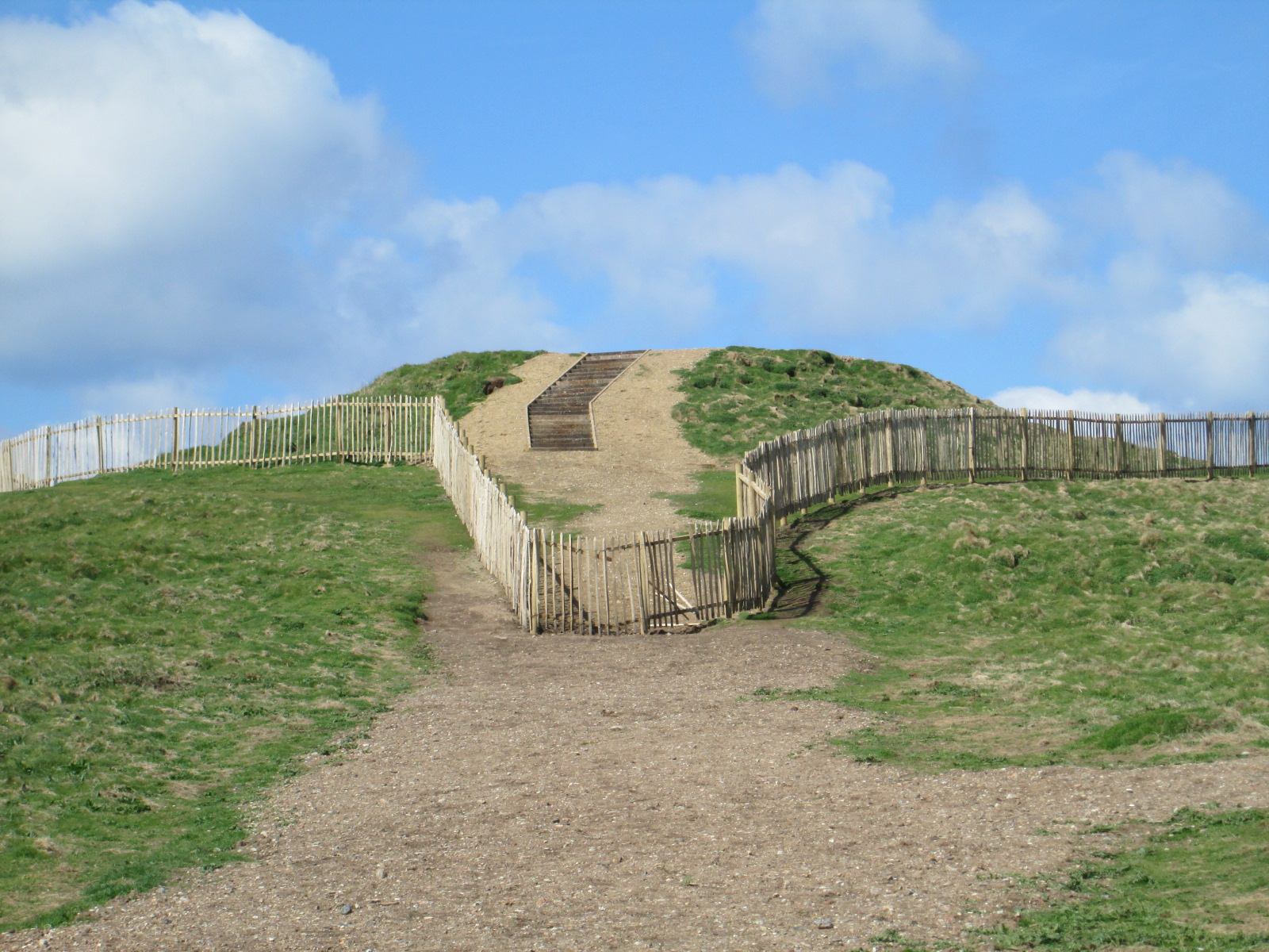
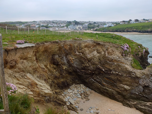
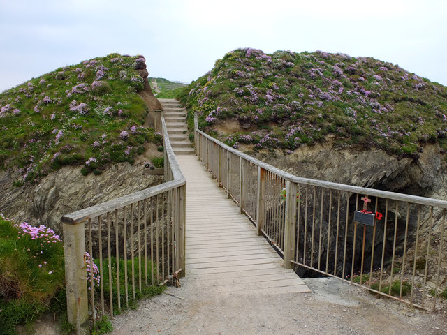
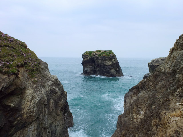
Trevelgue Head

Trevelgue Head, also known as Porth Island, is a headland north-east of Newquay, Cornwall, England, next to Porth at the eastern end of Newquay Bay. It...
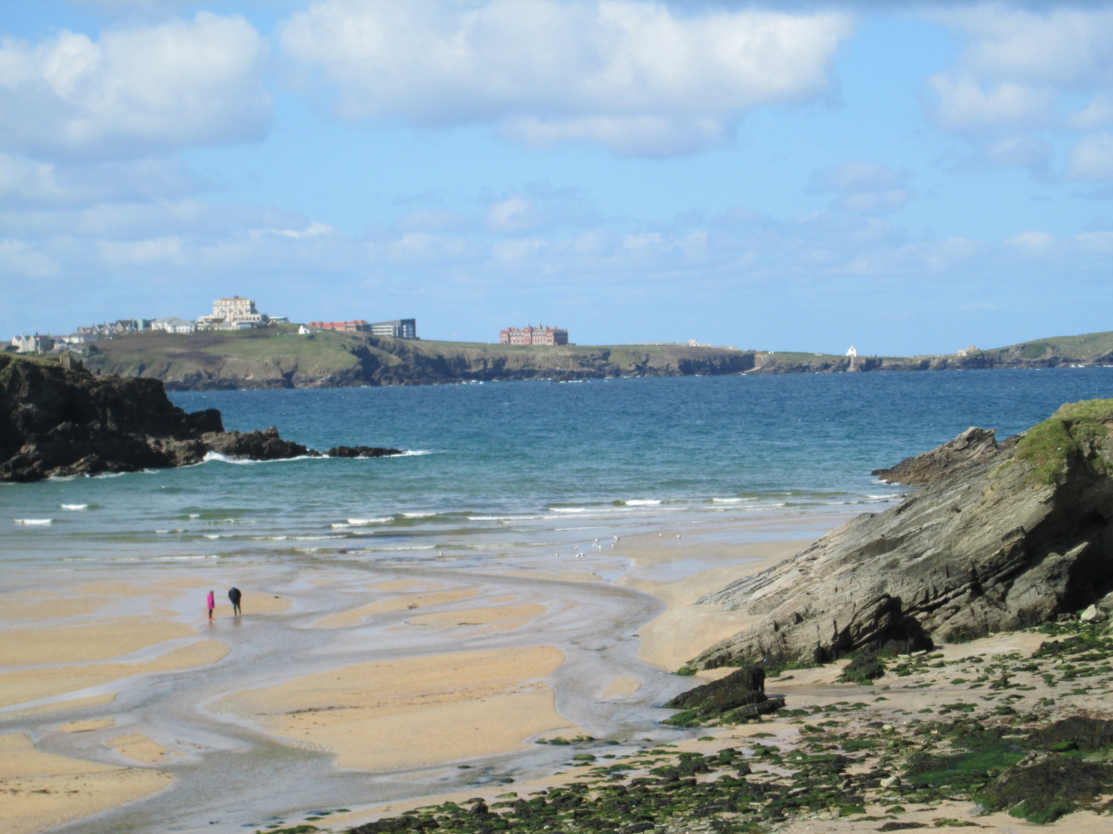
Porth, Cornwall

Porth is a seaside hamlet in the civil parish of Newquay, Cornwall, England.Porth is near the village of St Columb Minor. It was known as St. Columb Porth...

Nearby Amenities

Located within 500m of 50.436237,-5.0495463
Source: PGS
Lat/Long: 50.4400265/-5.0466772
Source: PGS
Lat/Long: 50.4385348/-5.0485324
Source: PGS
Lat/Long: 50.4370966/-5.048105
Source: PGS
Lat/Long: 50.4365431/-5.0483303
Source: PGS
Lat/Long: 50.4361057/-5.0488882
Source: PGS
Lat/Long: 50.4356274/-5.0495319
Source: PGS
Lat/Long: 50.435436/-5.0495641
Source: PGS
Lat/Long: 50.4353062/-5.0494461
Source: PGS
Lat/Long: 50.434206/-5.0501113
Source: PGS
Lat/Long: 50.4337754/-5.0511627
Source: PGS
Lat/Long: 50.4337002/-5.0514846
Source: PGS
Lat/Long: 50.4340153/-5.0525152
Source: PGS
Lat/Long: 50.4325248/-5.0524824
Source: PGS
Lat/Long: 50.4324086/-5.0527077
The data included in this document is from www.openstreetmap.org. The data is made available under ODbL.

Have you been to Sweden Rock?

Leave your review of Sweden Rock below (or comments, questions and feedback).