Camas Driseach
Bay in Inverness-shire
Scotland
Camas Driseach
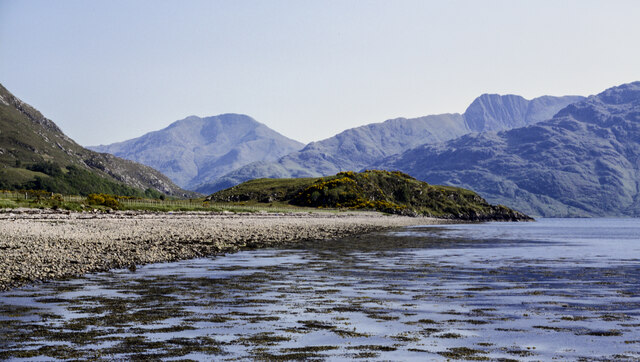
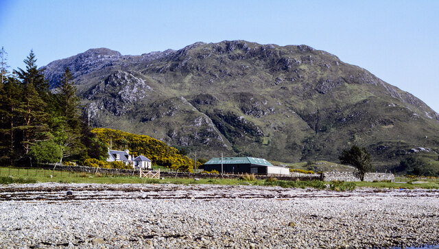
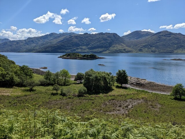
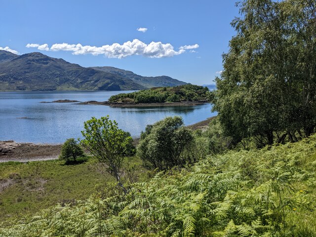
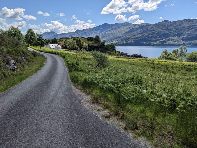
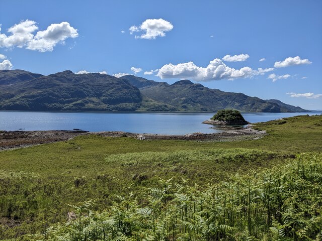
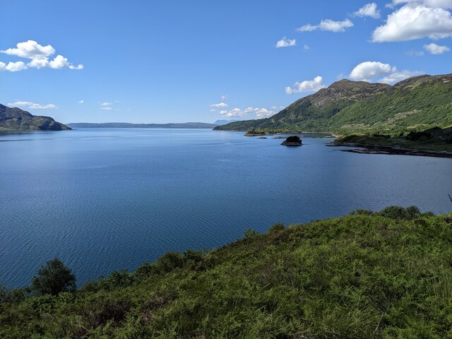
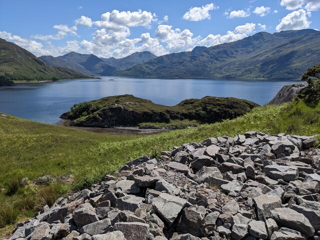
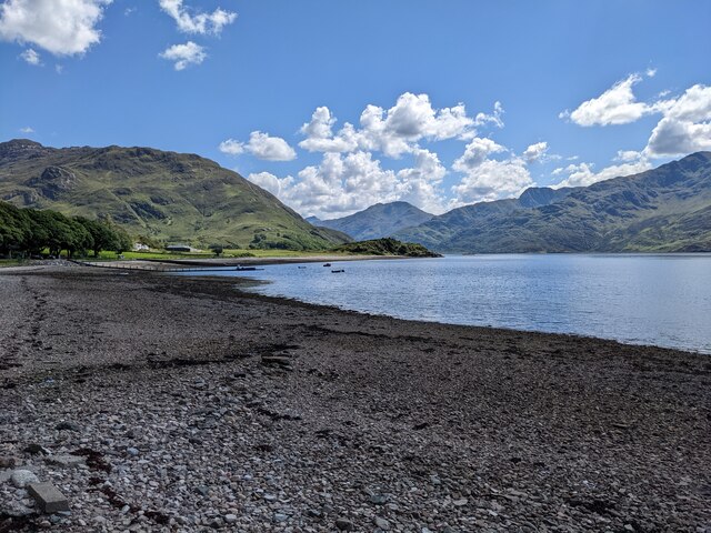
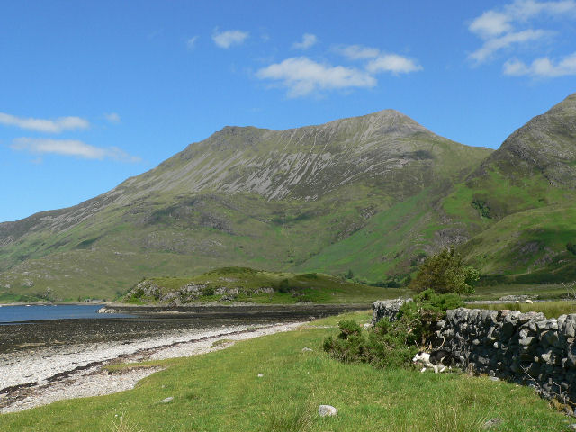
Camas Driseach is a picturesque bay located in Inverness-shire, Scotland. Situated on the west coast of the Highlands, this bay offers stunning views of the surrounding rugged landscape and the crystal-clear waters of the Atlantic Ocean. The bay is known for its sandy beach, which is perfect for sunbathing, picnicking, and swimming on a warm day.
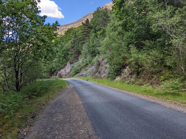
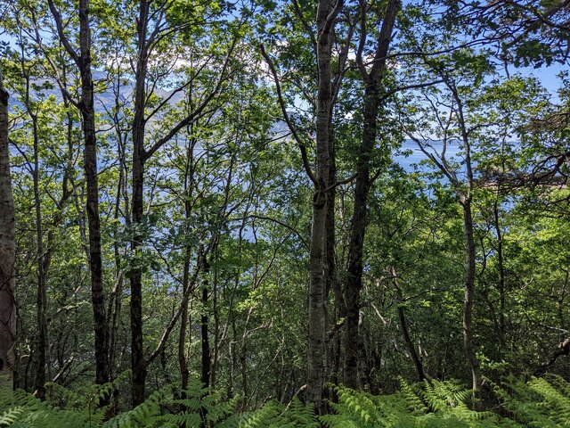
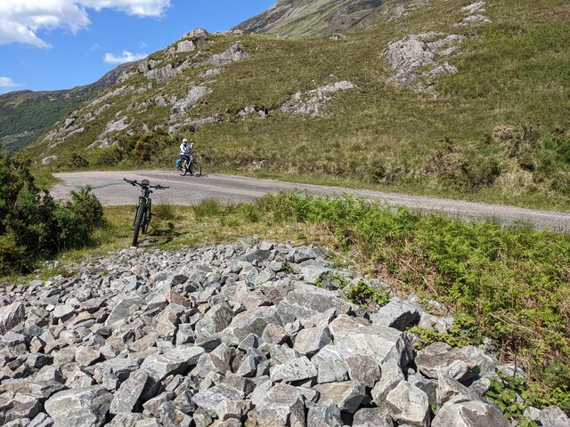
Camas Driseach is a popular spot for outdoor enthusiasts, with opportunities for hiking, birdwatching, and wildlife spotting in the surrounding area. The bay is also a great place for water sports such as kayaking, sailing, and fishing.
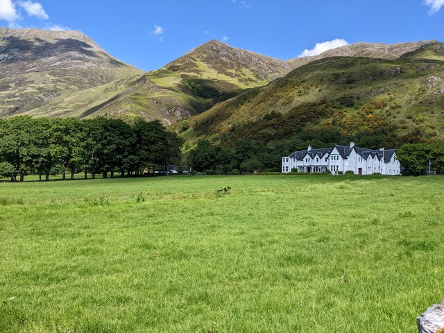
Visitors to Camas Driseach can enjoy the tranquility of the remote location, as well as the chance to explore the nearby villages and historic sites. The bay is a peaceful retreat away from the hustle and bustle of city life, offering a chance to reconnect with nature and relax in a beautiful setting.
Overall, Camas Driseach is a hidden gem in the Scottish Highlands, offering a unique and memorable experience for those who visit.
If you have any feedback on the listing, please let us know in the comments section below.
Camas Driseach Images
Images are sourced within 2km of 57.138569/-5.5829936 or Grid Reference NG8310. Thanks to Geograph Open Source API. All images are credited.
Camas Driseach is located at Grid Ref: NG8310 (Lat: 57.138569, Lng: -5.5829936)
Unitary Authority: Highland
Police Authority: Highlands and Islands
What 3 Words
///stores.trickles.social. Near Glenelg, Highland
Nearby Locations
Related Wikis

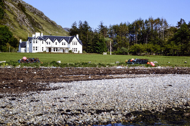
Arnisdale
Arnisdale (Scottish Gaelic: Àrnasdal) is a hamlet in the historic county of Inverness-shire in the local authority area of Highlands of Scotland. It lies...

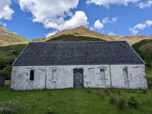
Arnisdale Free Church
Arnisdale Free Church is a church building at one time connected to the Free Church of Scotland. It is sited in Arnisdale, Inverness-shire, Scotland. According...
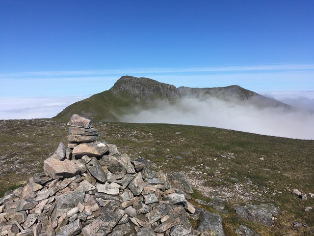
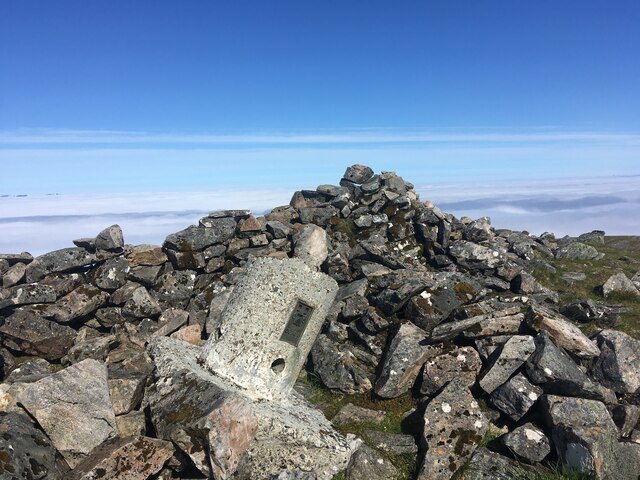
Beinn Sgritheall
Beinn Sgritheall or Beinn an Sgrithill (Scottish Gaelic for 'scree mountain'), also anglicized Ben Sgriol, is the highest mountain on the Glenelg peninsula...

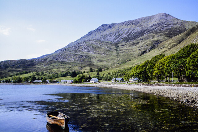
Loch Hourn
Loch Hourn (Scottish Gaelic: Loch Shubhairne) is a sea loch which separates the peninsulas of Glenelg to the north and Knoydart to the south, on the west...
Nearby Amenities
Located within 500m of 57.138569,-5.5829936Have you been to Camas Driseach?
Leave your review of Camas Driseach below (or comments, questions and feedback).