Aber Draw

Bay in Pembrokeshire

Wales

Aber Draw

Carreg Sampson A Neolithic burial chamber or cromlech. The capstone lies on three of the six uprights and is approximately 6m by 3m in size.
Carreg Sampson Credit: E Gammie

Aber Draw is a small coastal village located in the county of Pembrokeshire, Wales. Situated on the western coast of Wales, it lies within the beautiful Pembrokeshire Coast National Park, renowned for its stunning landscapes and pristine beaches. The village is nestled between the larger towns of Fishguard and St. David's, offering visitors a tranquil and idyllic setting.

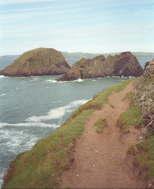
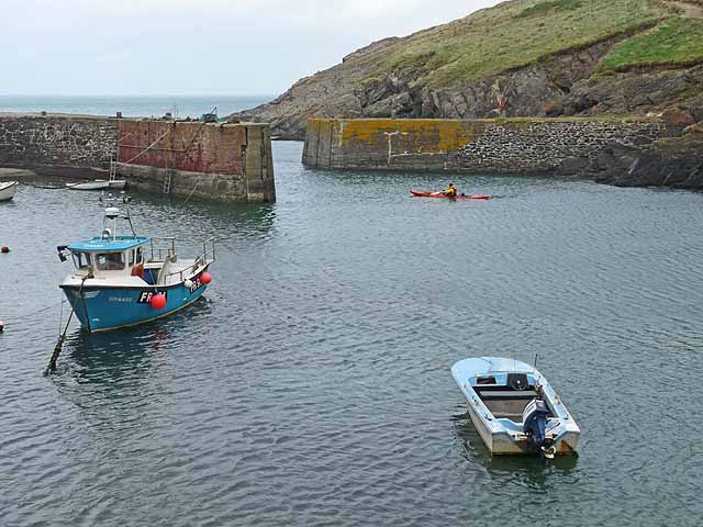
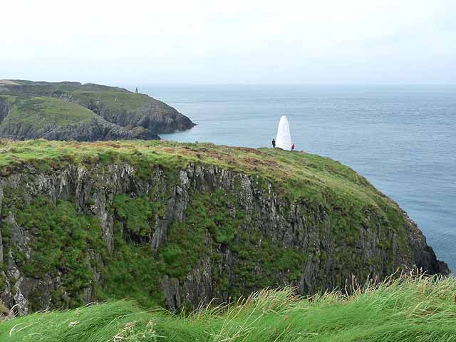
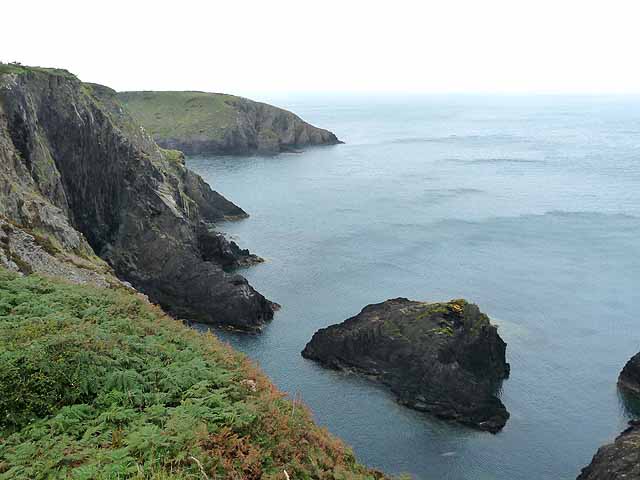
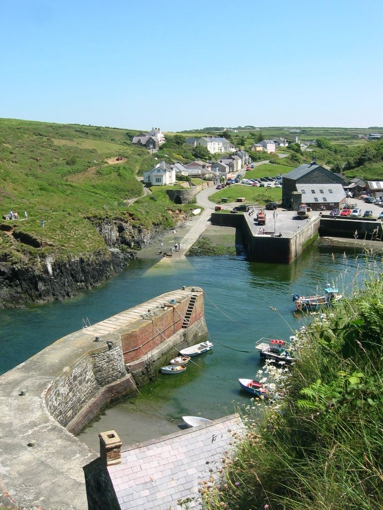
Aber Draw is known for its picturesque bay, which boasts a crescent-shaped sandy beach. The beach is bordered by rugged cliffs that provide a dramatic backdrop to the serene coastal scenery. The bay is a popular spot for beachgoers, offering opportunities for sunbathing, swimming, and picnicking. The clear waters are also ideal for various water activities such as surfing, kayaking, and paddleboarding.

The village itself is a charming and quaint settlement, featuring a few local shops, cafes, and restaurants that serve delicious seafood dishes. The area is also rich in wildlife, with opportunities for birdwatching and spotting seals and dolphins along the coastline.

Surrounded by rolling hills and green fields, Aber Draw is a haven for nature lovers and outdoor enthusiasts. A network of walking trails allows visitors to explore the surrounding countryside and enjoy breathtaking views of the sea and countryside. The nearby Pembrokeshire Coast Path offers magnificent coastal walks, attracting hikers from far and wide.

Aber Draw, with its unspoiled natural beauty and peaceful atmosphere, is a hidden gem in Pembrokeshire, providing an ideal getaway for those seeking relaxation and a connection with nature.

If you have any feedback on the listing, please let us know in the comments section below.
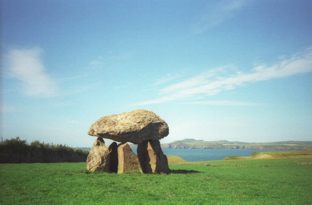
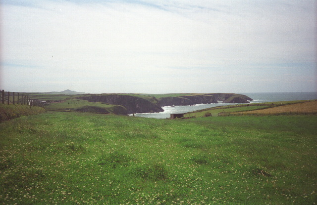
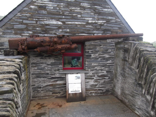
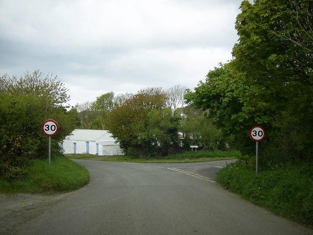
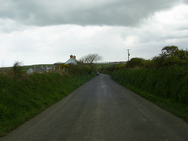
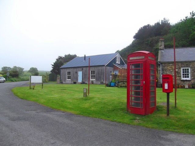
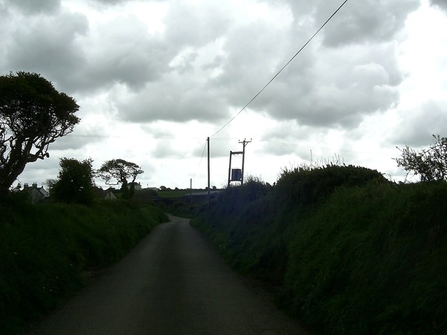
Aber Draw Images

Images are sourced within 2km of 51.949917/-5.1548051 or Grid Reference SM8332. Thanks to Geograph Open Source API. All images are credited.

Carreg Sampson A Neolithic burial chamber or cromlech. The capstone lies on three of the six uprights and is approximately 6m by 3m in size.
Carreg Sampson
A Neolithic burial chamber or cromlech. The capstone lies on three of the six uprights and is approximately 6m by 3m in size.
Fields near Trefin Looking westward across Aber Draw from the footpath joining Trefin with the coast path.
Fields near Trefin
Looking westward across Aber Draw from the footpath joining Trefin with the coast path.
Ynys Deullyn Ynys Deullyn from the Pembrokeshire Coast path, a short section of which can be seen in the foreground.
Ynys Deullyn
Ynys Deullyn from the Pembrokeshire Coast path, a short section of which can be seen in the foreground.
Sawn slate wall, Porthgain
Carreg Samson
Carreg Samson
Navigation aids, Porthgain These two stone markers stand high above the narrow entrance to Porthgain harbour, which might otherwise be difficult to spot from the sea.
The nearer (east) marker is circular in cross-section whereas the further one is square. I confess that I do not really see much point in this: from a distance out at sea it would be difficult to distinguish the cross-section, and once you have identified both markers you know that you want to navigate between them!
Navigation aids, Porthgain
These two stone markers stand high above the narrow entrance to Porthgain harbour, which might otherwise be difficult to spot from the sea. The nearer (east) marker is circular in cross-section whereas the further one is square. I confess that I do not really see much point in this: from a distance out at sea it would be difficult to distinguish the cross-section, and once you have identified both markers you know that you want to navigate between them!
Ynys-fach from the west A small tidal island well seen from the Pembrokeshire Coast Path.
Ynys-fach from the west
A small tidal island well seen from the Pembrokeshire Coast Path.
Porth-gain from the Coastal Path
Gun from the Liberty Ship 'Dan Beard' The gun, which once belonged to the American Liberty Ship, Dan Beard, was found by divers off the northern coast of Pembrokeshire.
The ship was returning from the Normandy landings when it fell prey to a German U-Boat in December 1944. A total of 29 men lost their lives.
Now the gun has been placed on display in the tiny harbour village of Porthgain
Gun from the Liberty Ship 'Dan Beard'
The gun, which once belonged to the American Liberty Ship, Dan Beard, was found by divers off the northern coast of Pembrokeshire. The ship was returning from the Normandy landings when it fell prey to a German U-Boat in December 1944. A total of 29 men lost their lives. Now the gun has been placed on display in the tiny harbour village of Porthgain
Minor road junction near Trefin The road to the right goes to Abercastle. The road straight ahead leads to Trefin.
Minor road junction near Trefin
The road to the right goes to Abercastle. The road straight ahead leads to Trefin.
Minor road to Trefin This short stretch of road near Awel-For heading for Trefin, is just within the relevant grid square.
Minor road to Trefin
This short stretch of road near Awel-For heading for Trefin, is just within the relevant grid square.
Postal & Telephone Service - Porthgain
Bend in the road  near Llanon A view of a bend in the country road heading for Llanon Farm from Llanrhian, taken under a gloomy overcast sky.
Bend in the road near Llanon
A view of a bend in the country road heading for Llanon Farm from Llanrhian, taken under a gloomy overcast sky.
Porthgain Harbour Once a very busy commercial port with export of slate, bricks and roadstone, but now confined to leisure craft.
Porthgain Harbour
Once a very busy commercial port with export of slate, bricks and roadstone, but now confined to leisure craft.
Seamark at the mouth of Porthgain Harbour
Sea cliffs and stacks On the Pembrokeshire coast, between Porthgain and Trefin.
Sea cliffs and stacks
On the Pembrokeshire coast, between Porthgain and Trefin.
Cattle feeding Almost on the cliff edge near Trefin, a contrast with the many coastal views.
Cattle feeding
Almost on the cliff edge near Trefin, a contrast with the many coastal views.
Stone circle above Aber Draw A stone circle of unknown provenance overlooking the sea.
Stone circle above Aber Draw
A stone circle of unknown provenance overlooking the sea.
Show me another place!

Aber Draw is located at Grid Ref: SM8332 (Lat: 51.949917, Lng: -5.1548051)

Unitary Authority: Pembrokeshire

Police Authority: Dyfed Powys

What 3 Words

///dusted.scarves.spillage. Near Llanrhian, Pembrokeshire

Related Wikis

Trefin

Trefin (Welsh standardised:Tre-fin), formerly anglicised as Trevine, is a village in North Pembrokeshire, south-west Wales. The village lies within the...

Dewisland

The Hundred of Dewisland (often written "Dewsland") was a hundred in northwest Pembrokeshire, Wales. Formerly the pre-Norman cantref of Pebidiog, it included...

Penparc, Pembrokeshire

Penparc is a village in the community of Llanrhian, Pembrokeshire, Wales. Located near Trefin and Croesgoch, the village also includes the settlement of...

Porthgain Railway

The Porthgain Railway was a 3 ft (914 mm) narrow gauge industrial railway connecting the Pen Clegyr and St. Bride's quarries with Porthgain harbour. It...

Nearby Amenities

Located within 500m of 51.949917,-5.1548051
Barrier: stile
Foot: yes
Lat/Long: 51.9465127/-5.1529311
Power: pole
Source: Bing
Lat/Long: 51.9468044/-5.1556082
Power: pole
Source: Bing
Lat/Long: 51.9468243/-5.1541193
Power: pole
Source: Bing
Lat/Long: 51.9473065/-5.1507907
Power: pole
Source: Bing
Lat/Long: 51.9472031/-5.151426
Recycling
Lat/Long: 51.9485676/-5.1486768
Melin Trefin Mill
Historic: ruins
Lat/Long: 51.9482416/-5.1528472
Trefin Quarry
Historic: ruins
Lat/Long: 51.9519562/-5.1544157
Parking
Lat/Long: 51.9480904/-5.1522164
Power: pole
Transformer: distribution
Lat/Long: 51.9473087/-5.1490045
Power: pole
Transformer: distribution
Lat/Long: 51.9476575/-5.1545379
Power: pole
Lat/Long: 51.9459348/-5.1537251
The data included in this document is from www.openstreetmap.org. The data is made available under ODbL.

Have you been to Aber Draw?

Leave your review of Aber Draw below (or comments, questions and feedback).