Aber Felin
Bay in Pembrokeshire
Wales
Aber Felin
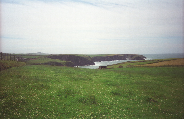
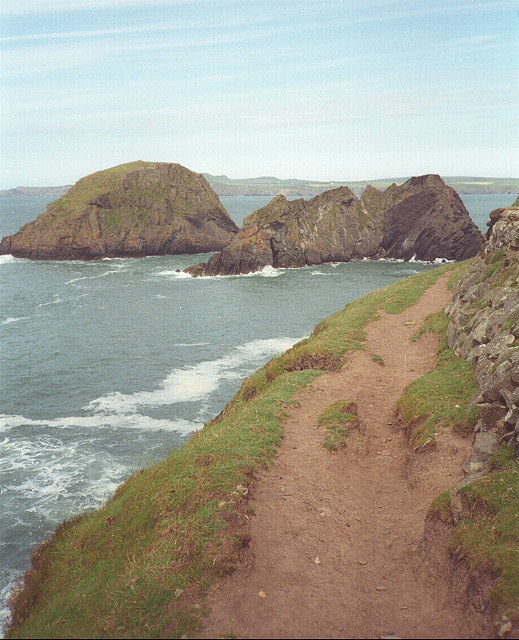
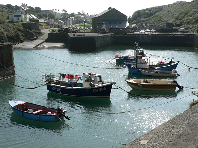
Aber Felin, located in the county of Pembrokeshire, Wales, is a picturesque bay that offers breathtaking natural beauty and a tranquil atmosphere. Situated on the southern coast of Wales, this small bay is nestled between the larger villages of Freshwater East and Lamphey.
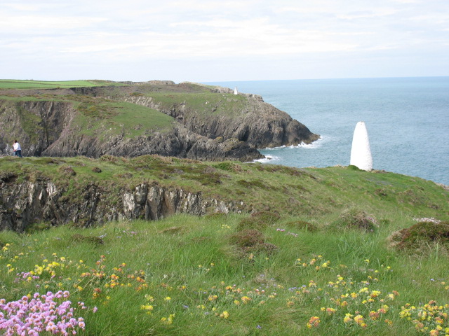
Aber Felin is characterized by its golden sandy beach, which stretches for approximately 1.5 kilometers along the coastline. The beach is backed by rolling sand dunes and framed by dramatic cliffs, providing a stunning backdrop for visitors. The bay offers a peaceful and secluded setting, making it an ideal destination for those seeking relaxation and tranquility.
The beach is a popular spot for sunbathing, picnicking, and leisurely walks, with plenty of space for visitors to spread out and enjoy the surroundings. The crystal-clear waters of Aber Felin are also ideal for swimming, making it a great destination for families and water enthusiasts. Lifeguards are on duty during the summer months, ensuring the safety of beachgoers.
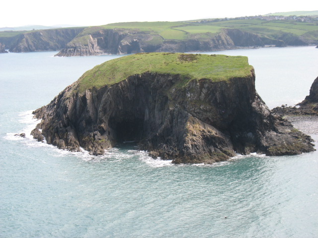
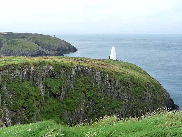
Aber Felin is surrounded by lush greenery and offers breathtaking views of the Pembrokeshire Coast National Park, a designated Area of Outstanding Natural Beauty. The bay is home to a variety of wildlife, including seabirds and marine life, and is a haven for nature lovers and birdwatching enthusiasts.
Although Aber Felin does not have any facilities or amenities directly on the beach, it is conveniently located near the village of Lamphey, which offers a range of accommodations, restaurants, and shops. Overall, Aber Felin is a hidden gem on the Pembrokeshire coastline, providing visitors with a peaceful and scenic escape from the hustle and bustle of everyday life.
If you have any feedback on the listing, please let us know in the comments section below.
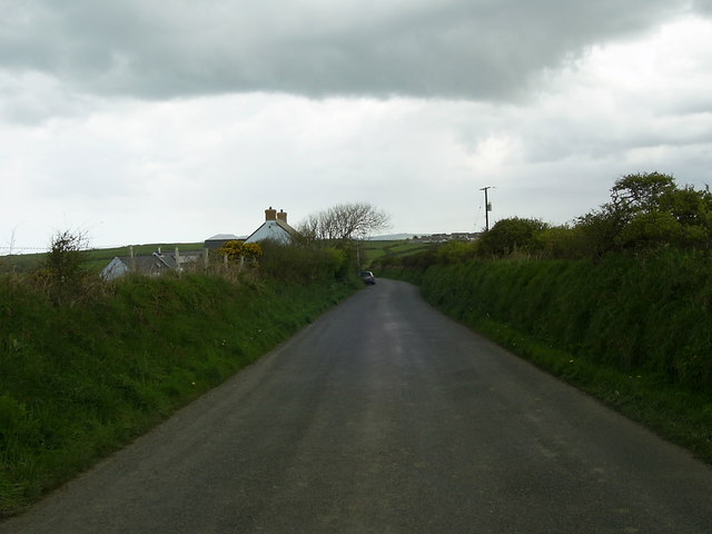
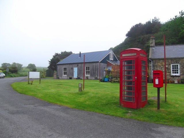
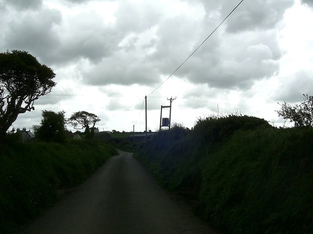
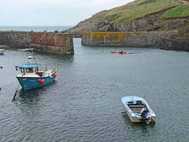
Aber Felin Images
Images are sourced within 2km of 51.94889/-5.1552133 or Grid Reference SM8332. Thanks to Geograph Open Source API. All images are credited.

Aber Felin is located at Grid Ref: SM8332 (Lat: 51.94889, Lng: -5.1552133)
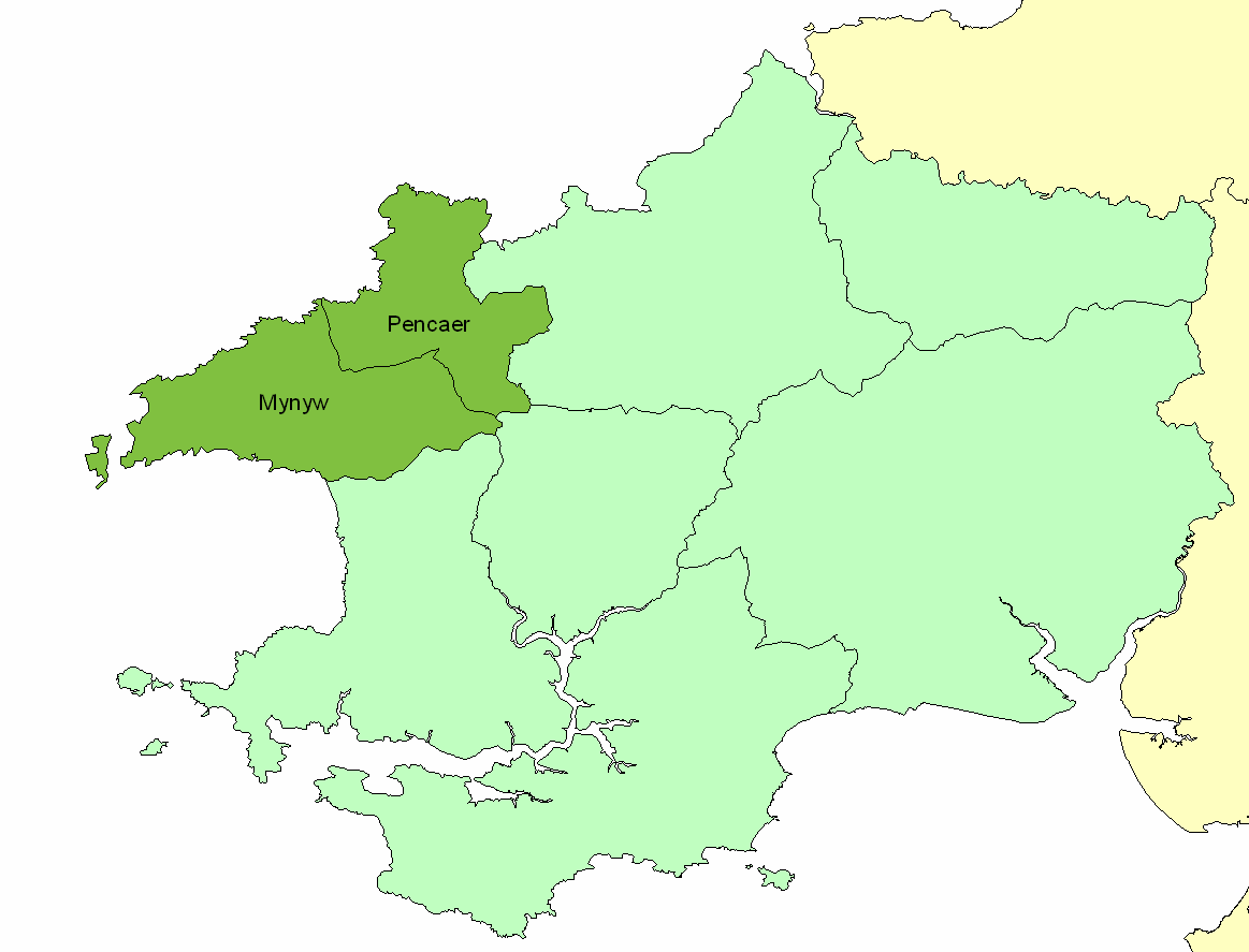
Unitary Authority: Pembrokeshire
Police Authority: Dyfed Powys
What 3 Words
///reception.doors.harshest. Near Llanrhian, Pembrokeshire
Nearby Locations
Related Wikis
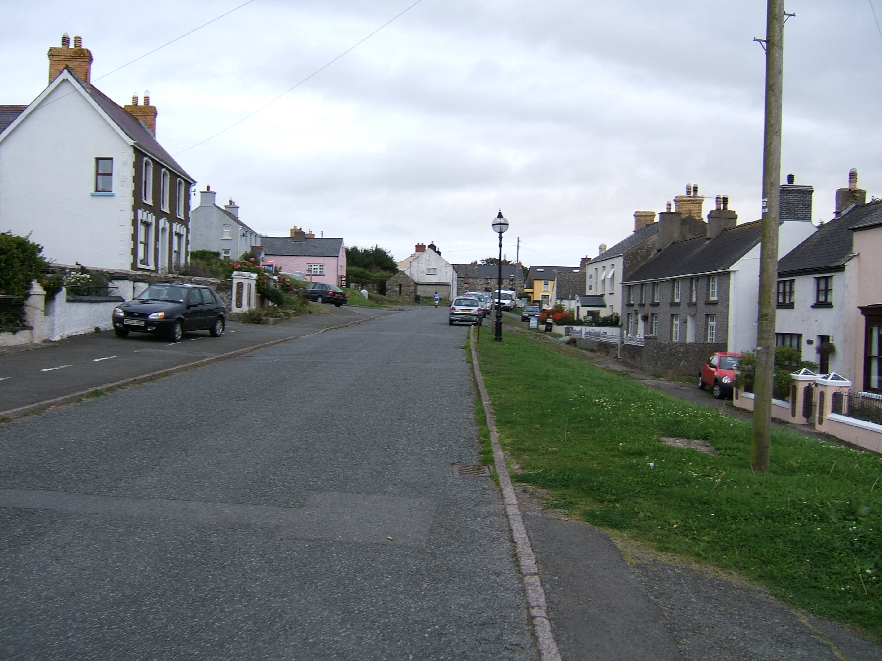
Trefin
Trefin (Welsh standardised:Tre-fin), formerly anglicised as Trevine, is a village in North Pembrokeshire, south-west Wales. The village lies within the...
Dewisland
The Hundred of Dewisland (often written "Dewsland") was a hundred in northwest Pembrokeshire, Wales. Formerly the pre-Norman cantref of Pebidiog, it included...

Penparc, Pembrokeshire
Penparc is a village in the community of Llanrhian, Pembrokeshire, Wales. Located near Trefin and Croesgoch, the village also includes the settlement of...

Llanrhian
Llanrhian is a small village, community and parish in Pembrokeshire in west Wales, near the coast, south of Porthgain village. The community of Llanrhian...
Porthgain Railway
The Porthgain Railway was a 3 ft (914 mm) narrow gauge industrial railway connecting the Pen Clegyr and St. Bride's quarries with Porthgain harbour. It...
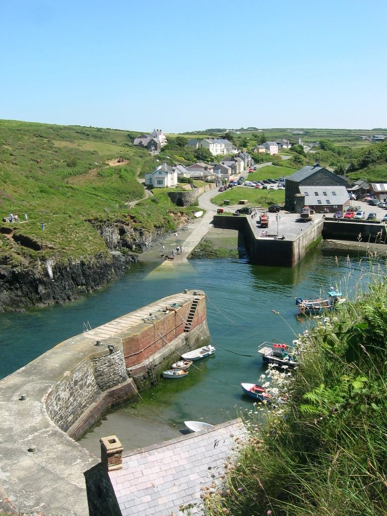
Porthgain
Porthgain (Welsh for fair/beautiful port or more likely 'chisel port' from the Welsh 'porth' meaning port and 'gaing' meaning chisel as used by the many...

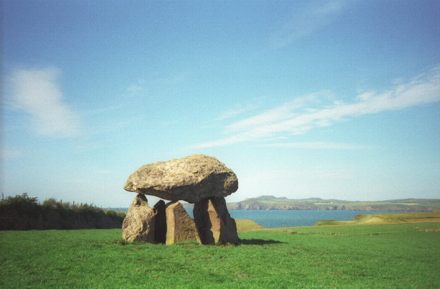
Carreg Samson
Carreg Samson (also known as Carreg Sampson, Samson's Stone, or the Longhouse) is a 5000-year-old Neolithic dolmen located half a mile west of Abercastle...

Abercastle
Abercastle (Welsh: Abercastell) is a village in Pembrokeshire, Wales. Abercastle has a working harbour which is managed by Abercastle Boat Owners Association...
Nearby Amenities
Located within 500m of 51.94889,-5.1552133Have you been to Aber Felin?
Leave your review of Aber Felin below (or comments, questions and feedback).