Sickly Common

Wood, Forest in Pembrokeshire

Wales

Sickly Common

Carreg Sampson A Neolithic burial chamber or cromlech. The capstone lies on three of the six uprights and is approximately 6m by 3m in size.
Carreg Sampson Credit: E Gammie

The requested URL returned error: 429 Too Many Requests

If you have any feedback on the listing, please let us know in the comments section below.

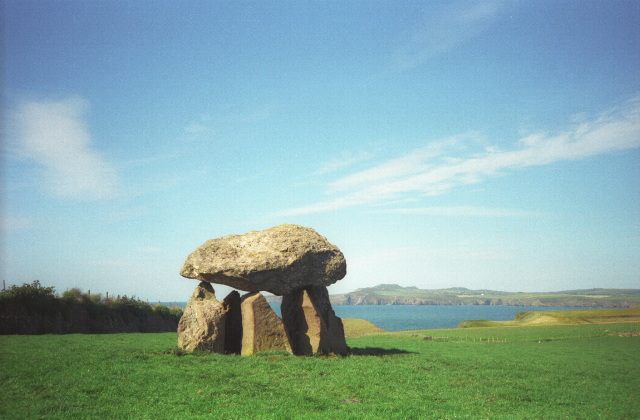
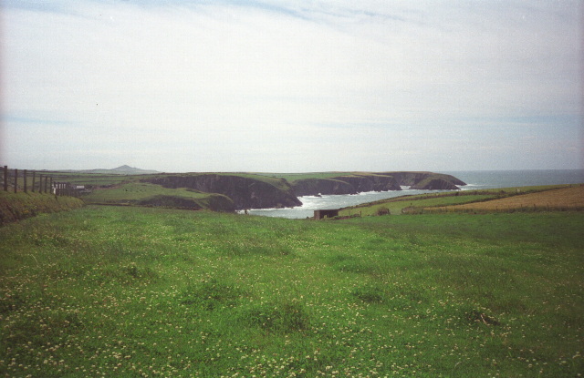
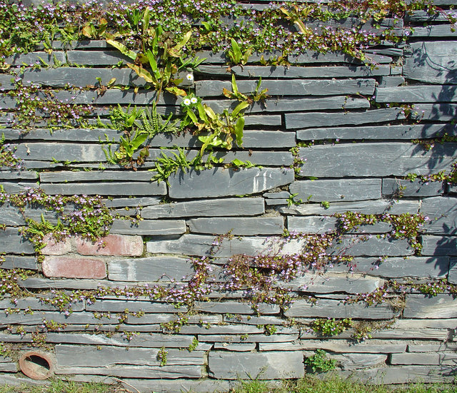
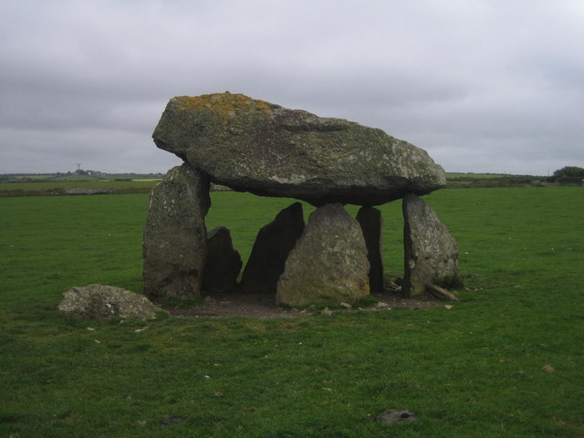
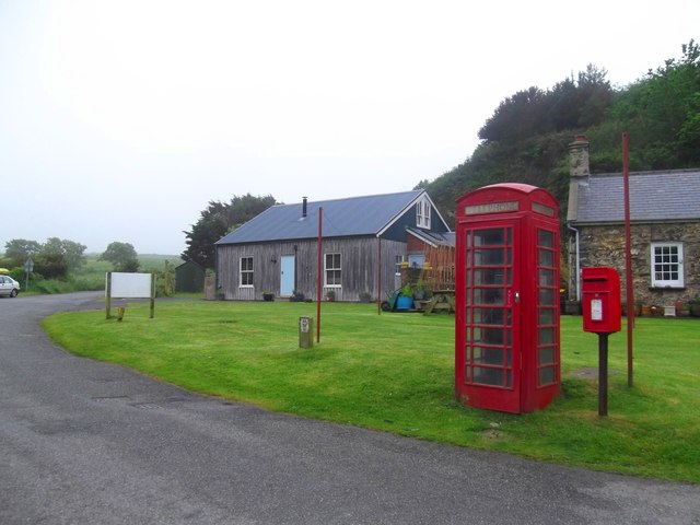
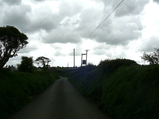
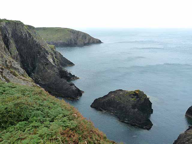
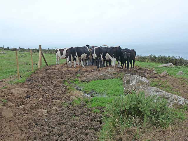
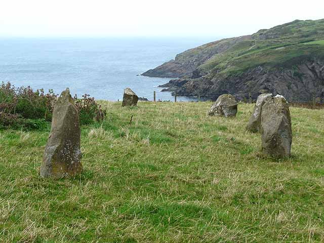
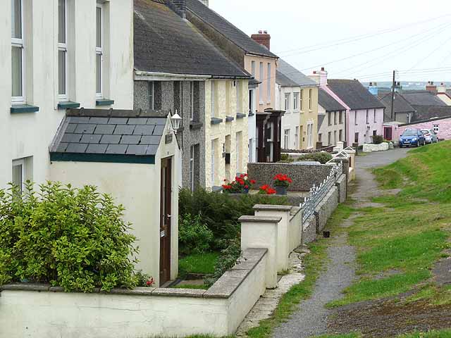
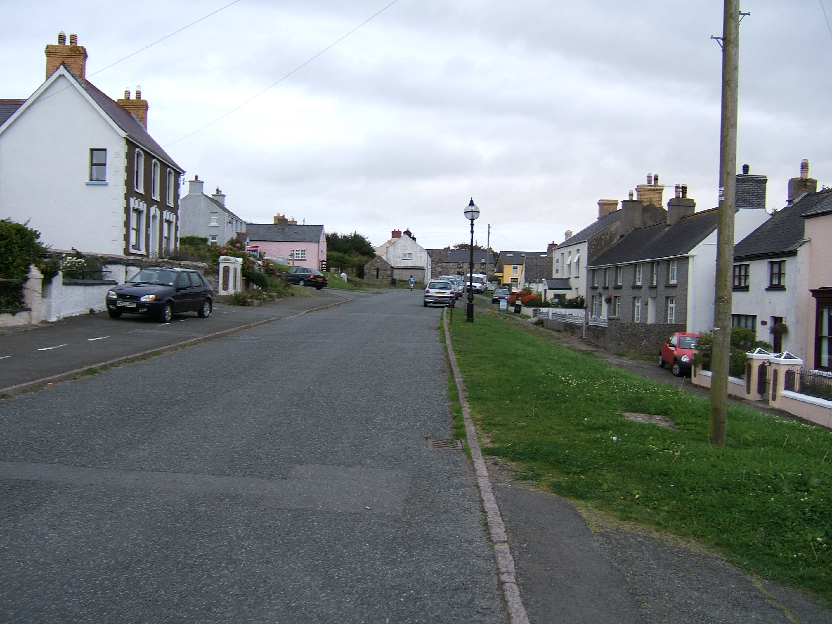
Sickly Common Images

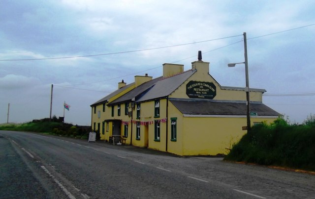
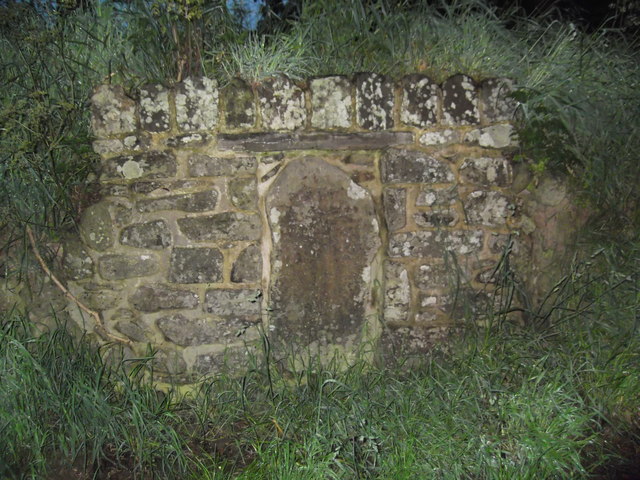
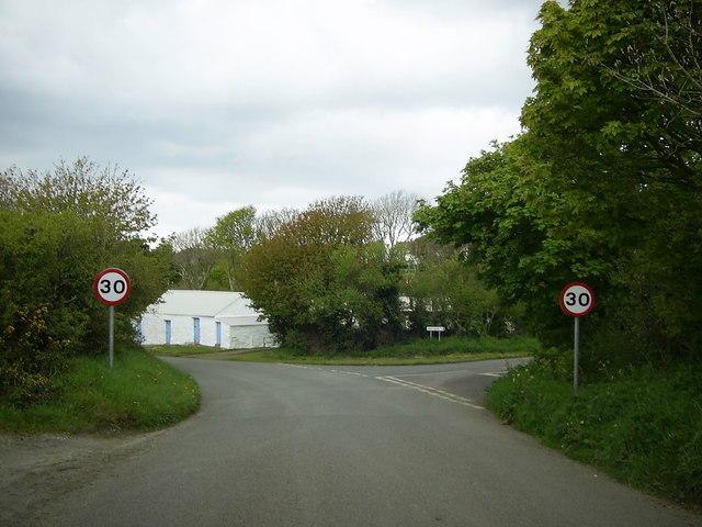
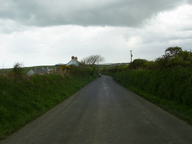
Images are sourced within 2km of 51.946029/-5.1525527 or Grid Reference SM8332. Thanks to Geograph Open Source API. All images are credited.

Carreg Sampson A Neolithic burial chamber or cromlech. The capstone lies on three of the six uprights and is approximately 6m by 3m in size.
Carreg Sampson
A Neolithic burial chamber or cromlech. The capstone lies on three of the six uprights and is approximately 6m by 3m in size.
Fields near Trefin Looking westward across Aber Draw from the footpath joining Trefin with the coast path.
Fields near Trefin
Looking westward across Aber Draw from the footpath joining Trefin with the coast path.
Sawn slate wall, Porthgain
Carreg Samson
Carreg Samson
A487 near Croes-Goch Looking towards Mesur-y-dorth.
A487 near Croes-Goch
Looking towards Mesur-y-dorth.
Ynys-fach from the west A small tidal island well seen from the Pembrokeshire Coast Path.
Ynys-fach from the west
A small tidal island well seen from the Pembrokeshire Coast Path.
The Square and Compass
Gun from the Liberty Ship 'Dan Beard' The gun, which once belonged to the American Liberty Ship, Dan Beard, was found by divers off the northern coast of Pembrokeshire.
The ship was returning from the Normandy landings when it fell prey to a German U-Boat in December 1944. A total of 29 men lost their lives.
Now the gun has been placed on display in the tiny harbour village of Porthgain
Gun from the Liberty Ship 'Dan Beard'
The gun, which once belonged to the American Liberty Ship, Dan Beard, was found by divers off the northern coast of Pembrokeshire. The ship was returning from the Normandy landings when it fell prey to a German U-Boat in December 1944. A total of 29 men lost their lives. Now the gun has been placed on display in the tiny harbour village of Porthgain
The Square & Compass Inn
Mesur y Dorth / Measure of the Loaf Stone Cross An early Christian marker stone inscribed with a cross inside a circle. Tradition has it that St David decreed that in times of poverty the maximum size of a loaf of bread should not exceed the circumference of the circle. Another legend has this as the final refreshment stop for pilgrims heading to the cathedral 6 miles further on.
Mesur y Dorth / Measure of the Loaf Stone Cross
An early Christian marker stone inscribed with a cross inside a circle. Tradition has it that St David decreed that in times of poverty the maximum size of a loaf of bread should not exceed the circumference of the circle. Another legend has this as the final refreshment stop for pilgrims heading to the cathedral 6 miles further on.
Minor road junction near Trefin The road to the right goes to Abercastle. The road straight ahead leads to Trefin.
Minor road junction near Trefin
The road to the right goes to Abercastle. The road straight ahead leads to Trefin.
Minor road to Trefin This short stretch of road near Awel-For heading for Trefin, is just within the relevant grid square.
Minor road to Trefin
This short stretch of road near Awel-For heading for Trefin, is just within the relevant grid square.
Postal & Telephone Service - Porthgain
Bend in the road  near Llanon A view of a bend in the country road heading for Llanon Farm from Llanrhian, taken under a gloomy overcast sky.
Bend in the road near Llanon
A view of a bend in the country road heading for Llanon Farm from Llanrhian, taken under a gloomy overcast sky.
Sea cliffs and stacks On the Pembrokeshire coast, between Porthgain and Trefin.
Sea cliffs and stacks
On the Pembrokeshire coast, between Porthgain and Trefin.
Cattle feeding Almost on the cliff edge near Trefin, a contrast with the many coastal views.
Cattle feeding
Almost on the cliff edge near Trefin, a contrast with the many coastal views.
Stone circle above Aber Draw A stone circle of unknown provenance overlooking the sea.
Stone circle above Aber Draw
A stone circle of unknown provenance overlooking the sea.
Cottages in Trefin
Cottages in Trefin
Show me another place!

Sickly Common is located at Grid Ref: SM8332 (Lat: 51.946029, Lng: -5.1525527)

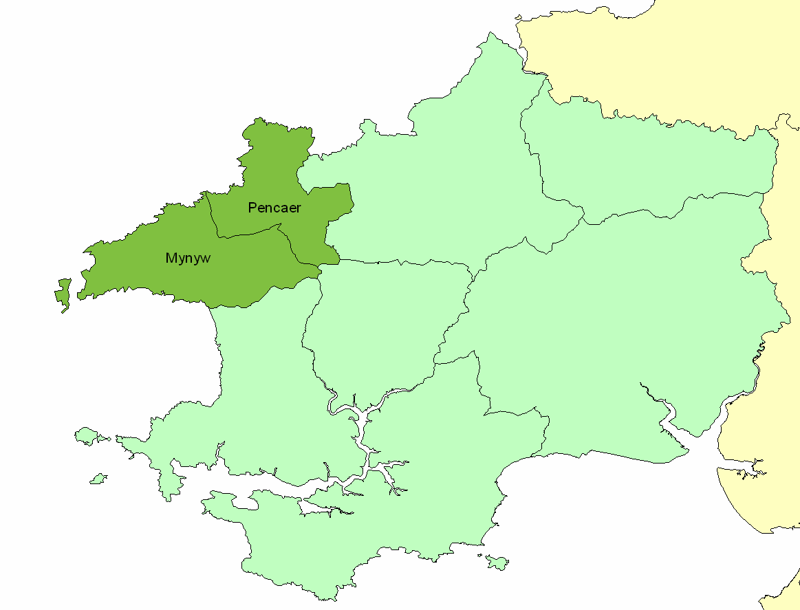
Unitary Authority: Pembrokeshire

Police Authority: Dyfed Powys

What 3 Words

///dislodge.simulator.friction. Near Llanrhian, Pembrokeshire

Related Wikis

Trefin

Trefin (Welsh standardised:Tre-fin), formerly anglicised as Trevine, is a village in North Pembrokeshire, south-west Wales. The village lies within the...

Dewisland

The Hundred of Dewisland (often written "Dewsland") was a hundred in northwest Pembrokeshire, Wales. Formerly the pre-Norman cantref of Pebidiog, it included...

Penparc, Pembrokeshire

Penparc is a village in the community of Llanrhian, Pembrokeshire, Wales. Located near Trefin and Croesgoch, the village also includes the settlement of...

Llanrhian

Llanrhian is a small village, community and parish in Pembrokeshire in west Wales, near the coast, south of Porthgain village. The community of Llanrhian...

Nearby Amenities

Located within 500m of 51.946029,-5.1525527
Barrier: stile
Foot: yes
Lat/Long: 51.9431036/-5.1479128
Barrier: stile
Foot: yes
Lat/Long: 51.9458296/-5.1469092
Barrier: stile
Foot: yes
Lat/Long: 51.9476235/-5.1465005
Barrier: stile
Foot: yes
Lat/Long: 51.9465127/-5.1529311
Power: pole
Source: Bing
Lat/Long: 51.9468044/-5.1556082
Power: pole
Source: Bing
Lat/Long: 51.9468243/-5.1541193
Power: pole
Source: Bing
Lat/Long: 51.9473065/-5.1507907
Power: pole
Source: Bing
Lat/Long: 51.9472031/-5.151426
Power: pole
Source: Bing
Lat/Long: 51.9477005/-5.1483716
Recycling
Lat/Long: 51.9485676/-5.1486768
Melin Trefin Mill
Historic: ruins
Lat/Long: 51.9482416/-5.1528472
Parking
Lat/Long: 51.9480904/-5.1522164
Power: pole
Transformer: distribution
Lat/Long: 51.9473087/-5.1490045
Power: pole
Lat/Long: 51.9483386/-5.1474917
Power: pole
Lat/Long: 51.9482122/-5.1462995
Power: pole
Transformer: distribution
Lat/Long: 51.9453594/-5.1587033
Power: pole
Lat/Long: 51.9449229/-5.1576036
Power: pole
Lat/Long: 51.9445278/-5.1566246
Power: pole
Transformer: distribution
Lat/Long: 51.9444286/-5.155309
Power: pole
Lat/Long: 51.9443773/-5.1542455
Power: pole
Lat/Long: 51.9442988/-5.1529165
Power: pole
Transformer: distribution
Lat/Long: 51.9476575/-5.1545379
Power: pole
Lat/Long: 51.9459348/-5.1537251
Power: pole
Lat/Long: 51.9449676/-5.1532638
Power: pole
Lat/Long: 51.9435242/-5.1525638
Power: pole
Lat/Long: 51.9427239/-5.1521748
Power: pole
Lat/Long: 51.9420294/-5.1518235
The data included in this document is from www.openstreetmap.org. The data is made available under ODbL.

Have you been to Sickly Common?

Leave your review of Sickly Common below (or comments, questions and feedback).