Sgeir nan Gealag
Coastal Feature, Headland, Point in Inverness-shire
Scotland
Sgeir nan Gealag
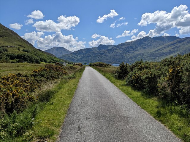
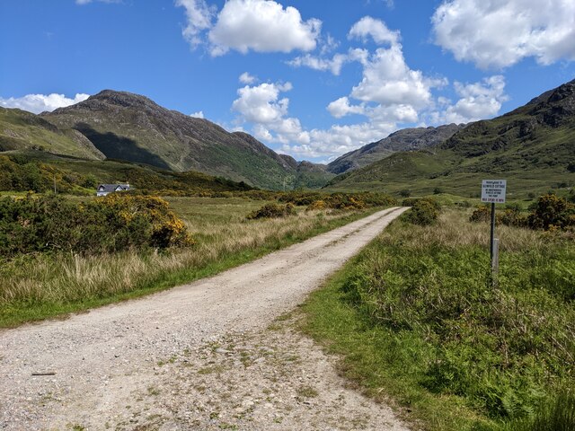
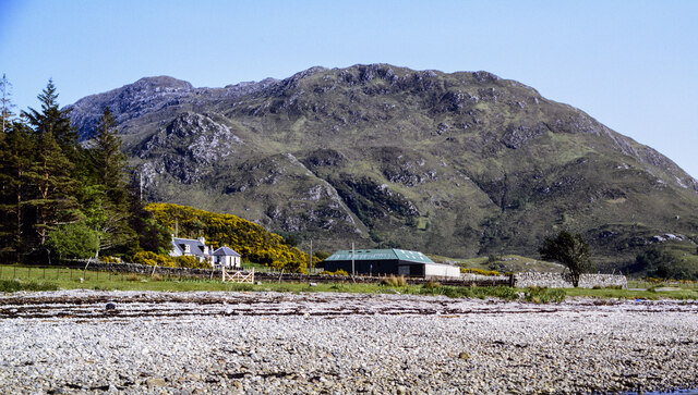
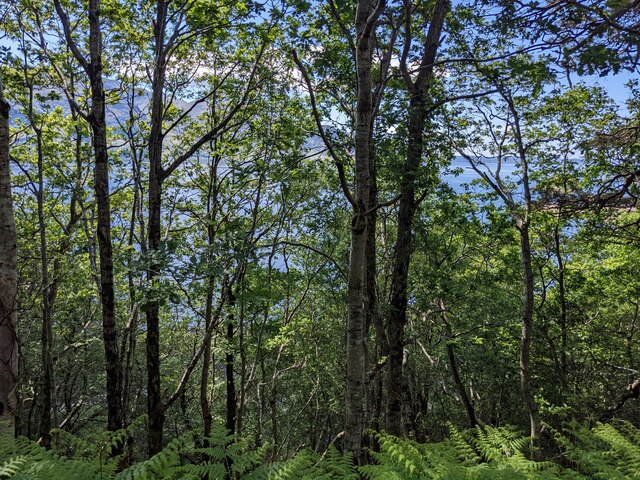
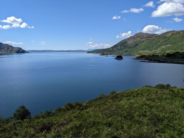
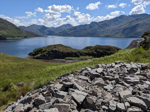
Sgeir nan Gealag is a coastal feature located in Inverness-shire, Scotland. It is a rocky headland that juts out into the sea, offering stunning views of the surrounding coastline and ocean. The name "Sgeir nan Gealag" translates to "rock of the seagulls" in Gaelic, reflecting the abundance of seabirds that can be seen nesting and flying around the area.
The headland is composed of rugged cliffs and rocky outcrops, with a small beach at its base where visitors can explore and enjoy the natural beauty of the area. The headland is a popular spot for birdwatching, with a variety of seabirds such as gannets, puffins, and cormorants frequently spotted in the area.
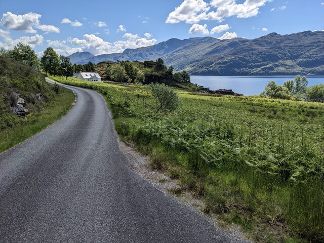
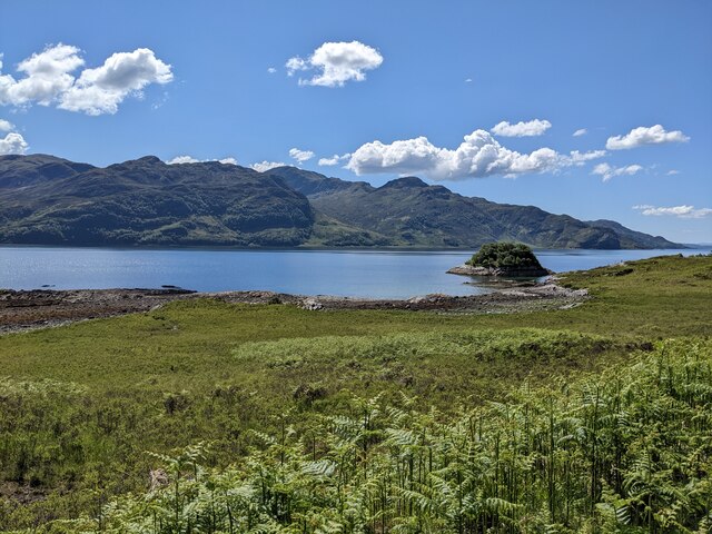
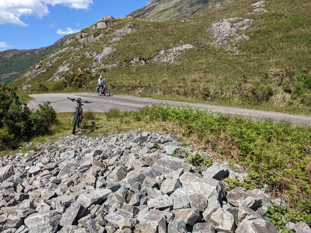
Sgeir nan Gealag is also a great place for hiking and exploring the coastal landscape, with several walking trails that offer panoramic views of the sea and surrounding countryside. The area is known for its rich marine life, with seals and dolphins often spotted swimming in the waters around the headland.
Overall, Sgeir nan Gealag is a picturesque and rugged coastal feature that offers a unique glimpse into the natural beauty of the Scottish coastline.
If you have any feedback on the listing, please let us know in the comments section below.
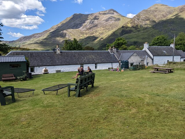
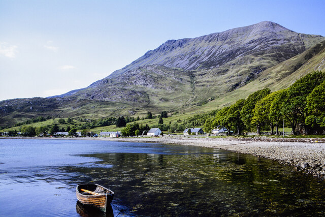
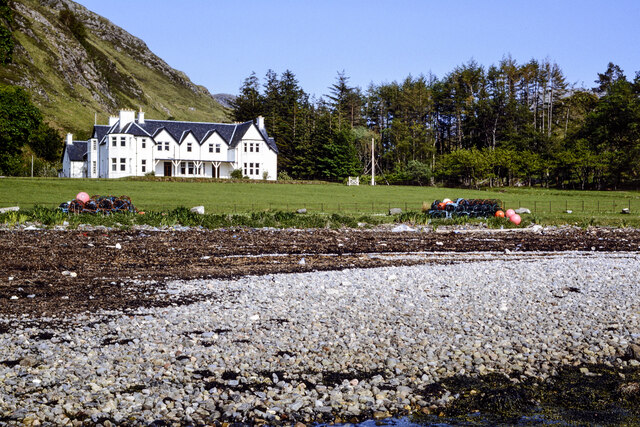
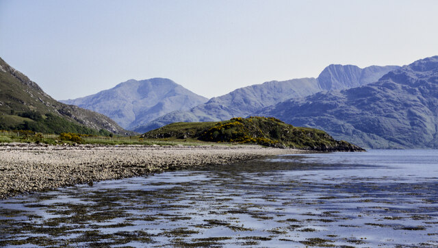
Sgeir nan Gealag Images
Images are sourced within 2km of 57.133618/-5.5788277 or Grid Reference NG8310. Thanks to Geograph Open Source API. All images are credited.
Sgeir nan Gealag is located at Grid Ref: NG8310 (Lat: 57.133618, Lng: -5.5788277)
Unitary Authority: Highland
Police Authority: Highlands and Islands
What 3 Words
///deflation.lollipop.webcams. Near Glenelg, Highland
Nearby Locations
Related Wikis

Arnisdale
Arnisdale (Scottish Gaelic: Àrnasdal) is a hamlet in the historic county of Inverness-shire in the local authority area of Highlands of Scotland. It lies...

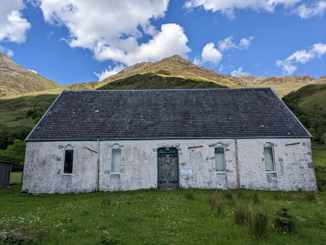
Arnisdale Free Church
Arnisdale Free Church is a church building at one time connected to the Free Church of Scotland. It is sited in Arnisdale, Inverness-shire, Scotland. According...

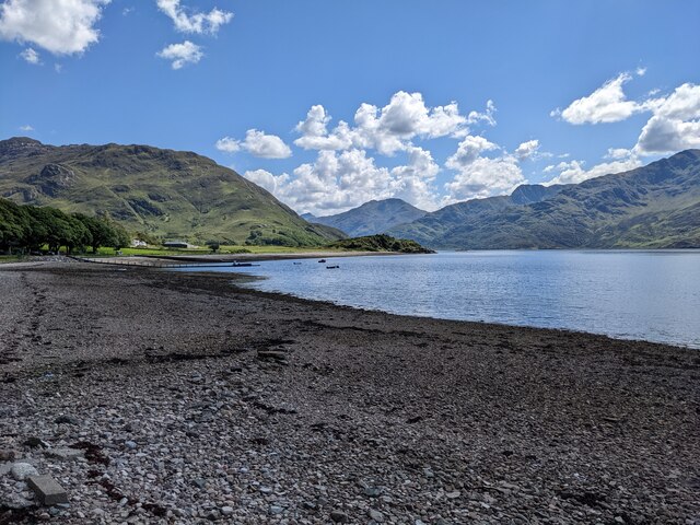
Loch Hourn
Loch Hourn (Scottish Gaelic: Loch Shubhairne) is a sea loch which separates the peninsulas of Glenelg to the north and Knoydart to the south, on the west...

Corran, Loch Hourn
Corran (Scottish Gaelic: An Corran) is a hamlet on the northern shore of Loch Hourn, in Lochalsh in Inverness-shire in the Highlands of Scotland. It is...
Nearby Amenities
Located within 500m of 57.133618,-5.5788277Have you been to Sgeir nan Gealag?
Leave your review of Sgeir nan Gealag below (or comments, questions and feedback).