A' Chlèit

Bay in Ross-shire

Scotland

A' Chlèit

Passing place on the road to Rubha Rèidh
Passing place on the road to Rubha Rèidh Credit: Alpin Stewart

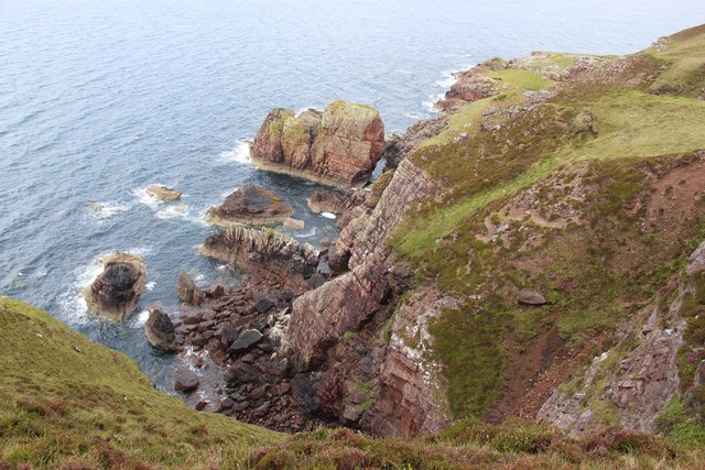
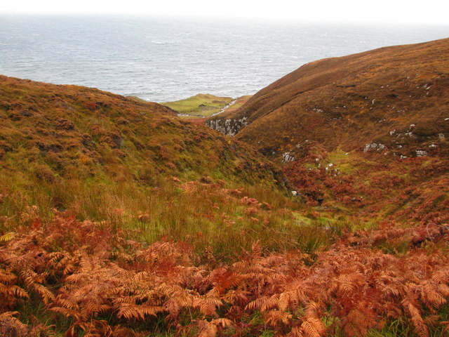
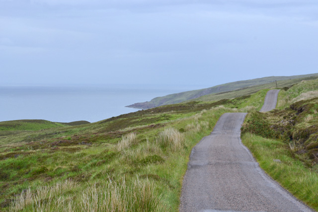
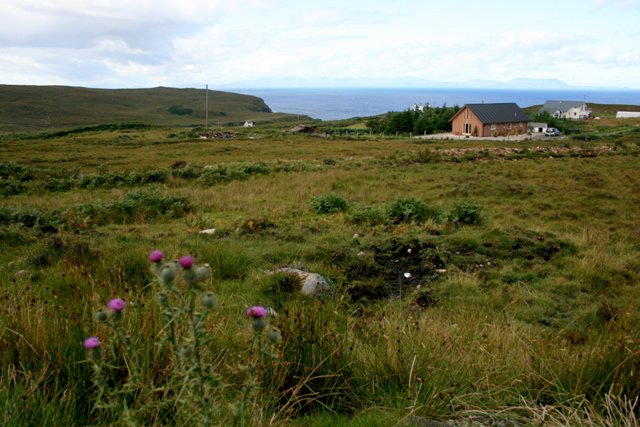
A' Chlèit, also known as Bay in English, is a small coastal village located in Ross-shire, Scotland. Situated on the eastern coast of the Scottish Highlands, it is nestled between the stunning Dornoch Firth to the north and the picturesque Moray Firth to the south. The village is known for its breathtaking panoramic views of the surrounding natural beauty.

With a population of around 500 residents, A' Chlèit is a close-knit community that offers a tranquil and idyllic lifestyle. The village is characterized by its charming and well-preserved traditional Scottish architecture, with many stone-built cottages and houses lining its streets.

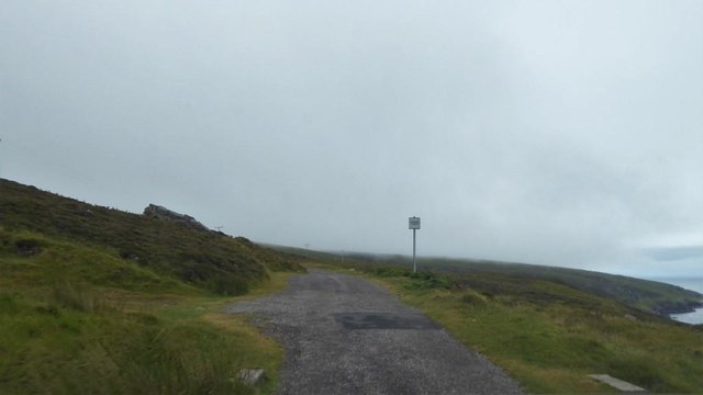
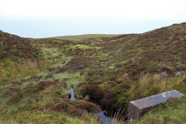
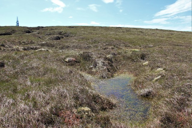
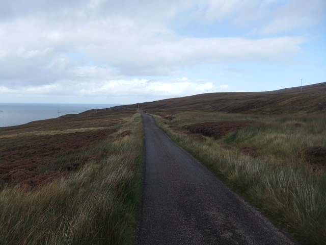
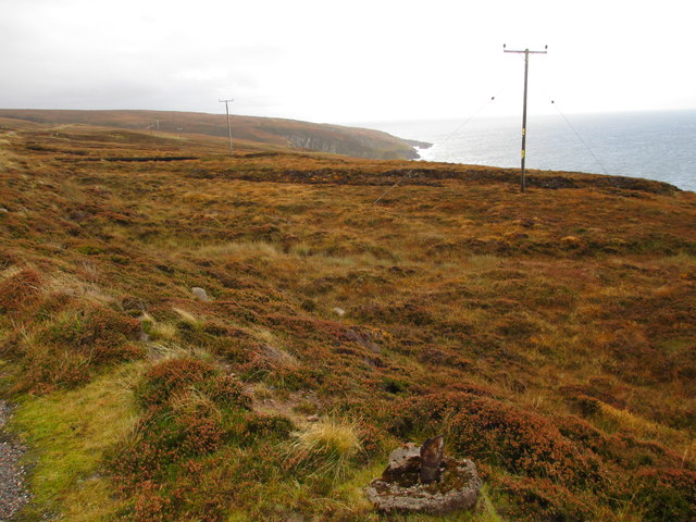
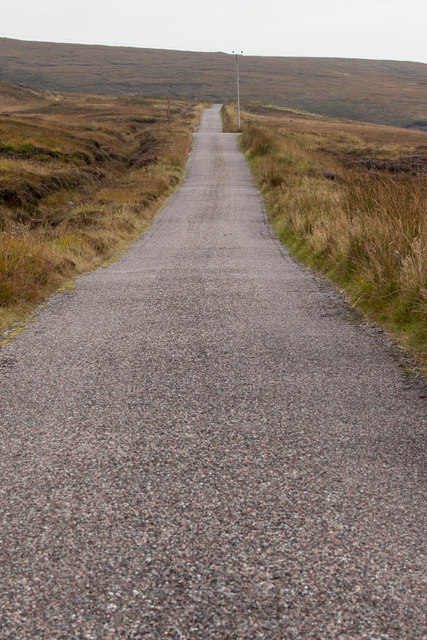
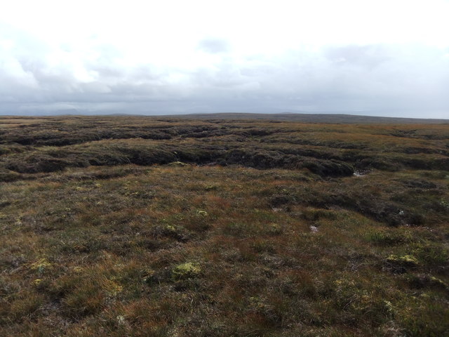
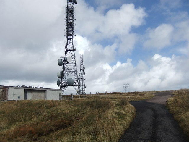
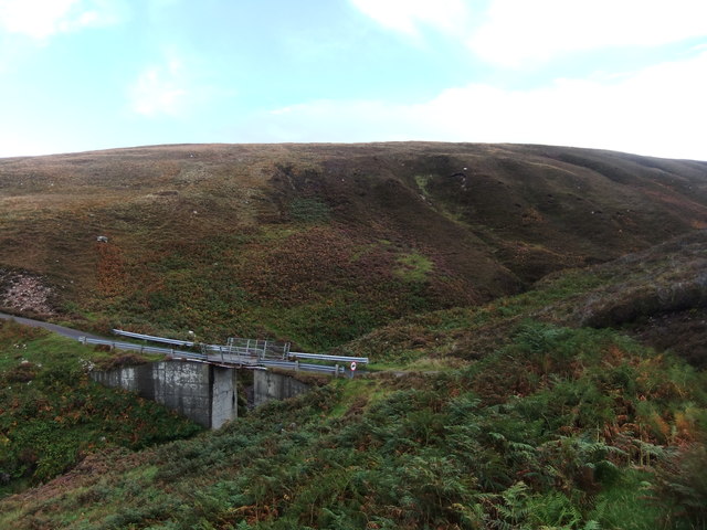
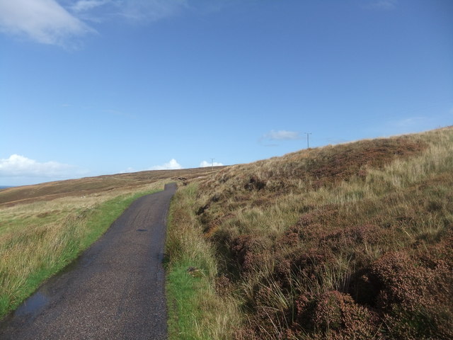
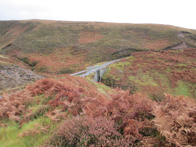
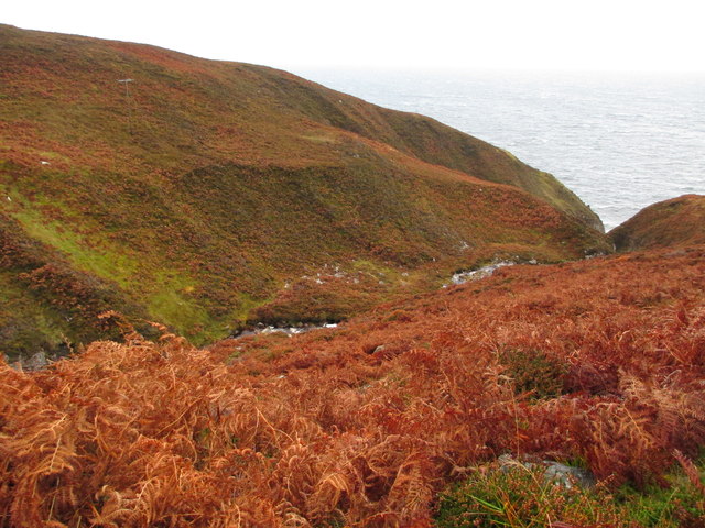
A' Chlèit is a popular destination for outdoor enthusiasts, nature lovers, and those seeking a peaceful escape. The nearby coastline boasts stunning sandy beaches, perfect for long walks, picnics, and even water sports such as surfing and kayaking. The surrounding hills and moorland provide excellent opportunities for hiking, birdwatching, and exploring the diverse local wildlife.

The village is also home to a small harbor, where local fishermen can be seen bringing in their daily catch. The seafood caught in these waters is highly regarded for its freshness and quality, attracting visitors from near and far.

A' Chlèit offers a range of amenities to cater to both residents and visitors, including a local pub, a convenience store, and a charming tearoom serving traditional Scottish delicacies. The village's sense of community is further enhanced by regular social events and gatherings, such as local festivals and ceilidhs, which showcase the rich cultural heritage of the area.

In conclusion, A' Chlèit is a hidden gem on the eastern coast of Ross-shire, offering a peaceful and picturesque setting for those seeking a rural Scottish experience. With its breathtaking natural beauty, friendly community, and range of outdoor activities, it is a destination that truly captures the essence of the Scottish Highlands.

If you have any feedback on the listing, please let us know in the comments section below.

A' Chlèit Images

Images are sourced within 2km of 57.837334/-5.8115231 or Grid Reference NG7389. Thanks to Geograph Open Source API. All images are credited.

Passing place on the road to Rubha Rèidh
A burn dropping to Camasan Dearga
West facing cliffs at Rubha Reidh
Bog on Maol Breac Communication mast on the top.
Bog on Maol Breac
Communication mast on the top.
Road to the Lighthouse
Coastal moorland
Coastal moorland
Road and telegraph poles Both heading for Rubha Rèidh.
Road and telegraph poles
Both heading for Rubha Rèidh.
The lighthouse road The road from Melvaig to the lighthouse is a private road owned and maintained by the Northern Lighthouse Board.  It is somewhat undulating, suffers occasional deep potholes and is best taken slowly.
The lighthouse road
The road from Melvaig to the lighthouse is a private road owned and maintained by the Northern Lighthouse Board. It is somewhat undulating, suffers occasional deep potholes and is best taken slowly.
More grassy bog
More grassy bog
Masts, Maol Breac
Masts, Maol Breac
Bridge over the Allt an Fheidh
Road to the lighthouse
Allt a' Bhùtha
Allt a' Bhùtha
Bridge over Allt a' Bhùtha
The Allt an Fheidh
The Allt an Fheidh
The Rubha Rèidh road
Bridge over the Allt a' Bhùtha Not the most confidence-inducing structure.
Bridge over the Allt a' Bhùtha
Not the most confidence-inducing structure.
The Rubha Rèidh road heading north An up and down affair, which may create problems with some vehicles.

In recent years there have been conflicts with the owner of the accomodation at the lighthouse, who has attempted to stop public use of the road. However, the land here is owned by the Inverasdale Estate, and the road is owned by the Northern Lighthouse Board, neither of whom object to the public driving the road. Highland Council, which is responsible for designating the status of roads, has declared the road as "a private road open for all public access". All of which means the driving this road is legitimate. The views are worth it.
The Rubha Rèidh road heading north
An up and down affair, which may create problems with some vehicles. In recent years there have been conflicts with the owner of the accomodation at the lighthouse, who has attempted to stop public use of the road. However, the land here is owned by the Inverasdale Estate, and the road is owned by the Northern Lighthouse Board, neither of whom object to the public driving the road. Highland Council, which is responsible for designating the status of roads, has declared the road as "a private road open for all public access". All of which means the driving this road is legitimate. The views are worth it.
Show me another place!

A' Chlèit is located at Grid Ref: NG7389 (Lat: 57.837334, Lng: -5.8115231)

Unitary Authority: Highland

Police Authority: Highlands and Islands

What 3 Words

///apply.collapsed.jeep. Near Gairloch, Highland

Related Wikis

Rua Reidh Lighthouse

Rua Reidh Lighthouse stands close to the entrance to Loch Ewe in Wester Ross, Scotland. == History == The name "Rua Reidh" is a semi-anglicisation of...

Melvaig

Melvaig is a remote village on the coast of western Ross-shire, Scottish Highlands and is in the Scottish council area of Highland. It is a cliff top...

Aultgrishan

Aultgrishan (Gaelic: ) is a small crofting community near Gairloch, Ross-shire. It adjoins Melvaig, within Highland region and is in the Scottish council...

Cove, Highland

Cove is a remote hamlet located on the northwestern shore of the sea loch Loch Ewe, and 8 mi (13 km) northwest of Poolewe in Ross-shire, Scottish Highlands...

North Erradale

North Erradale is a remote coastal crofting village on the western coast of Ross-shire, Scottish Highlands and is in the Scottish council area of Highland...

Inverasdale

Inverasdale (Scottish Gaelic: Inbhir Àsdail) is a hamlet in the Northwest Highlands of Scotland, located by Loch Ewe, in the region of Wester Ross. �...

Nearby Amenities

Located within 500m of 57.837334,-5.8115231
Source: PGS
Lat/Long: 57.8408888/-5.8085616
Source: PGS
Lat/Long: 57.8401482/-5.8088633
Source: PGS
Lat/Long: 57.8397609/-5.8091506
Created By: almien_coastlines
Source: PGS
Lat/Long: 57.839547/-5.809696
Source: PGS
Lat/Long: 57.839721/-5.8104699
Source: PGS
Lat/Long: 57.8396745/-5.8108437
Source: PGS
Lat/Long: 57.8396438/-5.8111904
Source: PGS
Lat/Long: 57.8386778/-5.8112174
Source: PGS
Lat/Long: 57.8387274/-5.810855
Source: PGS
Lat/Long: 57.8385061/-5.8111594
Source: PGS
Lat/Long: 57.8381853/-5.8105423
Source: PGS
Lat/Long: 57.8376043/-5.8113538
Source: PGS
Lat/Long: 57.8378276/-5.8107188
Source: PGS
Lat/Long: 57.8377107/-5.8105536
Source: PGS
Lat/Long: 57.8373144/-5.8104201
Source: PGS
Lat/Long: 57.8371498/-5.8105203
Source: PGS
Lat/Long: 57.8370279/-5.8104831
Source: PGS
Lat/Long: 57.8367779/-5.8104625
Source: PGS
Lat/Long: 57.8368903/-5.8122446
Source: PGS
Lat/Long: 57.8367118/-5.8129303
Source: PGS
Lat/Long: 57.836214/-5.8130548
Source: PGS
Lat/Long: 57.8359903/-5.813154
Source: PGS
Lat/Long: 57.8355397/-5.8131625
Source: PGS
Lat/Long: 57.8354047/-5.8132986
Created By: almien_coastlines
Source: PGS
Lat/Long: 57.83537/-5.813212
Source: PGS
Lat/Long: 57.8350038/-5.8139742
Created By: almien_coastlines
Source: PGS
Lat/Long: 57.834838/-5.814131
Source: PGS
Lat/Long: 57.834492/-5.8143935
Source: PGS
Lat/Long: 57.8338711/-5.8139697
Source: PGS
Lat/Long: 57.8336405/-5.8144959
Source: PGS
Lat/Long: 57.8334587/-5.8145344
Source: PGS
Lat/Long: 57.8332555/-5.8145491
Power: pole
Lat/Long: 57.8336193/-5.8077689
Power: pole
Lat/Long: 57.8342942/-5.8074878
Power: pole
Lat/Long: 57.8350117/-5.8071929
Power: pole
Lat/Long: 57.8357189/-5.8068925
Power: pole
Lat/Long: 57.8364084/-5.8066307
Power: pole
Lat/Long: 57.8371948/-5.8062945
Power: pole
Lat/Long: 57.8379004/-5.8059886
Power: pole
Lat/Long: 57.8386545/-5.8057019
Power: pole
Lat/Long: 57.8393/-5.8054346
Power: pole
Lat/Long: 57.8400965/-5.8051149
The data included in this document is from www.openstreetmap.org. The data is made available under ODbL.

Have you been to A' Chlèit?

Leave your review of A' Chlèit below (or comments, questions and feedback).