Camas Mòr
Bay in Argyllshire
Scotland
Camas Mòr
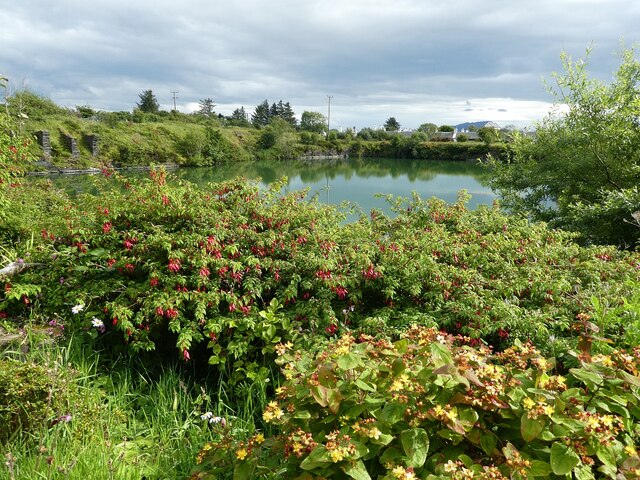
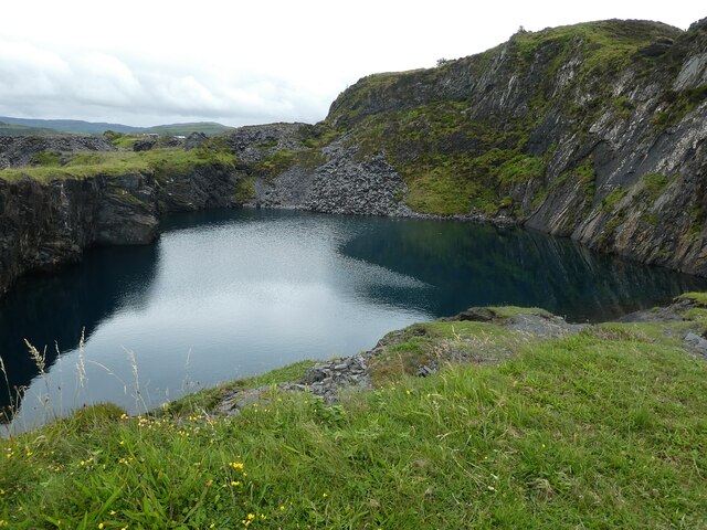
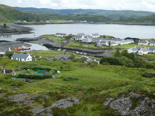
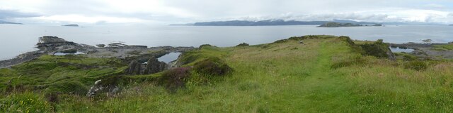
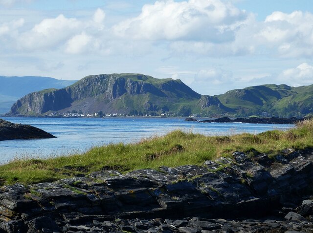
Camas Mòr, located in the picturesque region of Argyllshire in Scotland, is a bay known for its stunning natural beauty and rich history. Situated on the western coast of the country, the bay is surrounded by rolling hills, lush greenery, and breathtaking views of the Atlantic Ocean.
The name "Camas Mòr" translates to "big bay" in Gaelic, which accurately describes the size of this expansive coastal area. The bay boasts a diverse ecosystem, with its sandy beaches, rocky shores, and abundant marine life. It is a haven for nature enthusiasts and offers opportunities for activities such as birdwatching, hiking, and fishing.
In addition to its natural wonders, Camas Mòr has a fascinating historical background. The bay is home to ancient ruins, including standing stones and a burial cairn, which provide a glimpse into the area's prehistoric past. These archaeological sites are a testament to the long-standing human presence in the region.
Given its remote location, Camas Mòr offers a tranquil and serene environment, perfect for those seeking a peaceful escape from the hustle and bustle of everyday life. The bay's unspoiled beauty and panoramic views make it a popular destination for photographers and artists, who are drawn to its rugged charm.
Whether it is exploring the bay's historical sites, enjoying the surrounding nature, or simply taking in the breathtaking scenery, Camas Mòr promises an unforgettable experience for visitors seeking a true taste of the Scottish coastal charm.
If you have any feedback on the listing, please let us know in the comments section below.
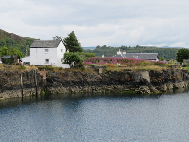
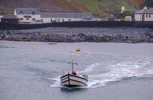
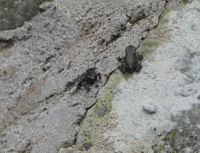
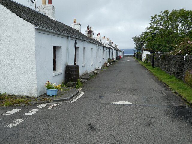
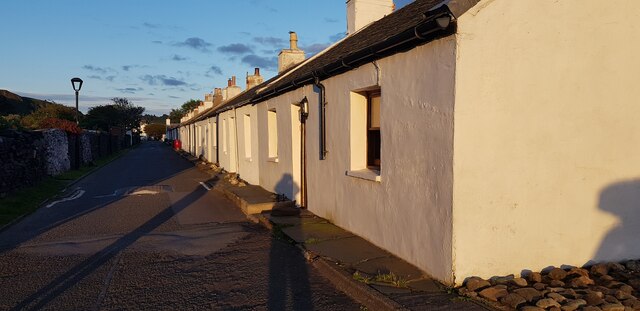
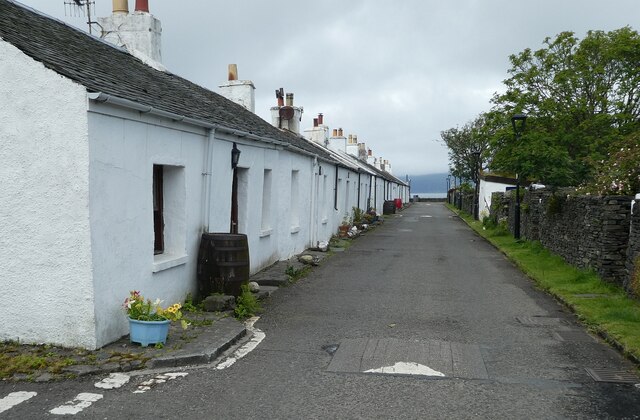
Camas Mòr Images
Images are sourced within 2km of 56.288916/-5.655888 or Grid Reference NM7316. Thanks to Geograph Open Source API. All images are credited.


Camas Mòr is located at Grid Ref: NM7316 (Lat: 56.288916, Lng: -5.655888)
Unitary Authority: Argyll and Bute
Police Authority: Argyll and West Dunbartonshire
What 3 Words
///masts.deadline.cartoons. Near Lochbuie, Argyll & Bute
Nearby Locations
Related Wikis

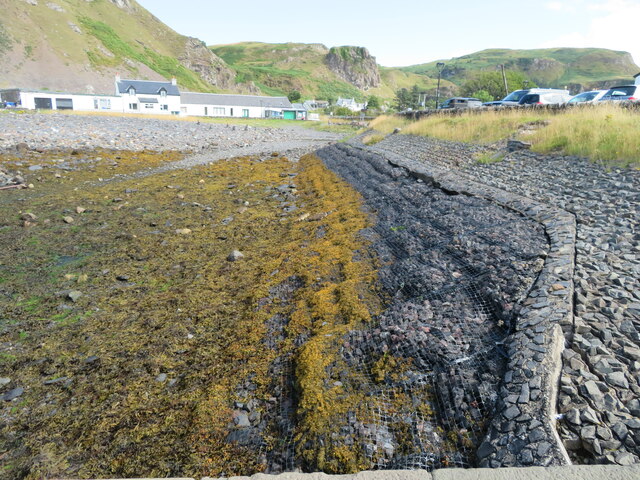
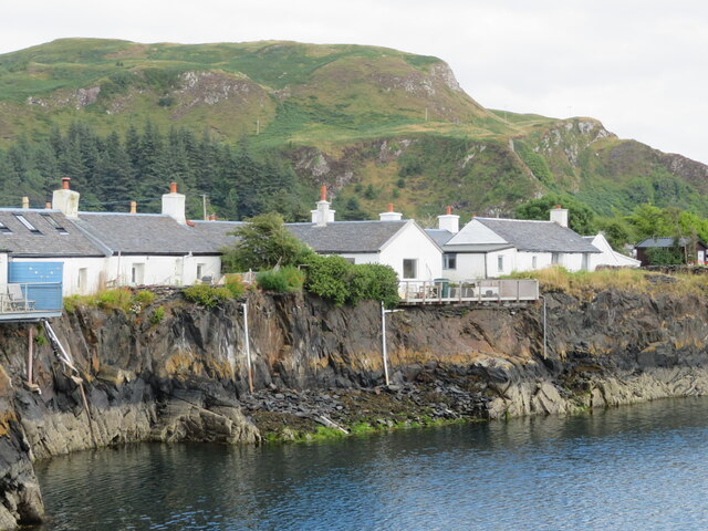
Easdale
Easdale (Scottish Gaelic: Eilean Èisdeal) is one of the Slate Islands, in the Firth of Lorn, Scotland. Once the centre of the Scottish slate industry,...

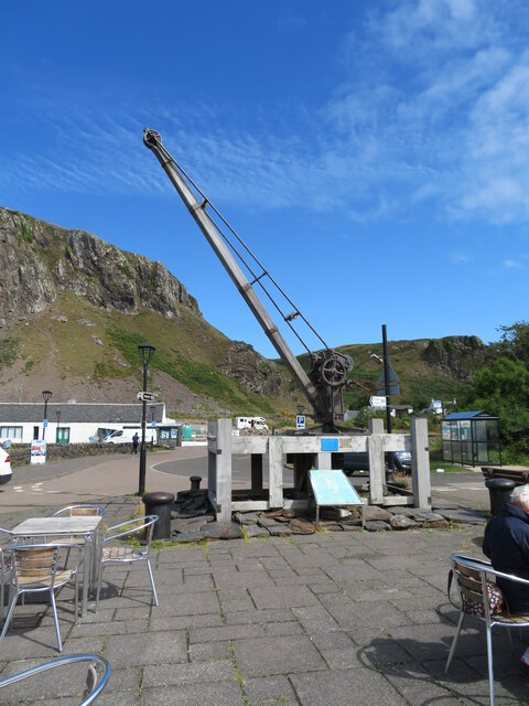
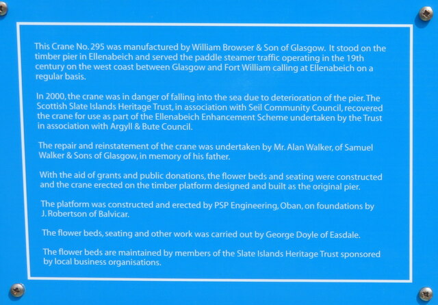
Ellenabeich
Ellenabeich (Scottish Gaelic: Eilean nam Beitheach, meaning "island of the birchwoods.") is a small village on the isle of Seil (Scottish Gaelic: Saoil...

Seil
Seil (; Scottish Gaelic: Saoil, Scottish Gaelic pronunciation: [ˈs̪ɯːl]) is one of the Slate Islands, located on the east side of the Firth of Lorn, 7...
Balvicar
Balvicar (Scottish Gaelic: Baile a' Bhiocair) is a village on the island of Seil, a small island seven miles (eleven kilometres) southwest of Oban, Scotland...

Cuan Sound
Cuan Sound is a narrow channel, 200 metres (660 ft) wide, located in Argyll, western Scotland. It separates Seil and Luing and later becomes the Firth...
Torsa
Torsa (occasionally Torsay) is one of the Slate Islands in Argyll and Bute, Scotland. Lying east of Luing and south of Seil, this tidal island was inhabited...
Slate Islands
The Slate Islands are an island group in the Inner Hebrides, lying immediately off the west coast of Scotland, north of Jura and southwest of Oban. The...

Fladda, Slate Islands
Fladda is one of the Slate Islands, off the west coast of Argyll and Bute, Scotland. Fladda is an islet in the Sound of Luing, between Luing and Belnahua...
Related Videos
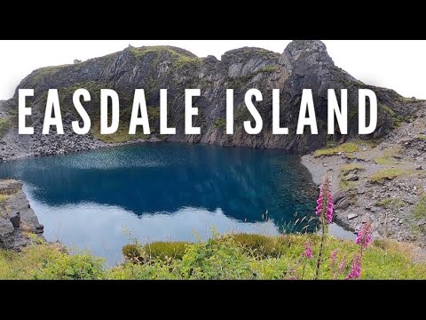
Ok, I think I've found my new favourite place - welcome to Easdale on the west coast of Scotland!
Easdale is one of the Slate Isles, about 15 miles south of Oban on the west coast of Scotland. The island has a fascinating history, ...

Argyll Journeys Episode 1 - Kentallen, Port Appin, Easdale and Bealach na Gaoithe
Argyll is a fascinating place to visit, with many options for cycling and walking trips, and the chance to visit unique events as well.

Atlantic Bridge - or When Is an Island not an Island?
A look at Scotland's bridge over the Atlantic Ocean, with a question about whether a bridge makes an island stop being an island!
Ardfern to Oban
Beneteau 361 cruise West scotland.
Nearby Amenities
Located within 500m of 56.288916,-5.655888Have you been to Camas Mòr?
Leave your review of Camas Mòr below (or comments, questions and feedback).