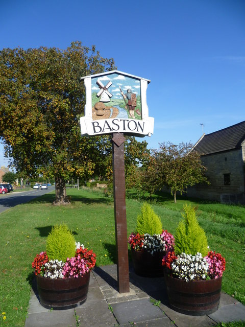
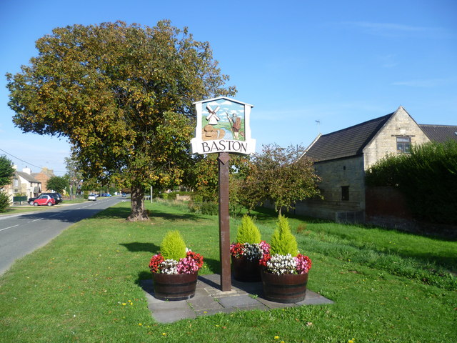
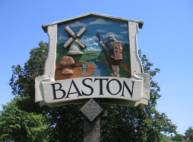
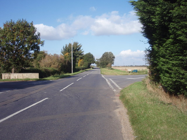
Baston

Settlement in Lincolnshire South Kesteven

England

Baston

Approaching Obthorpe Lodge Rape planted in every direction you care to look.  This track is on the Macmillan Way long distance route from Lincolnshire to Dorset.  Obthorpe is a convenient point to finish the second day, with accommodation in nearby Thurlby.
Approaching Obthorpe Lodge Credit: Graham Horn

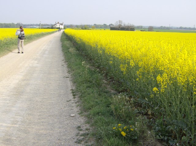
Baston is a small village located in the South Kesteven district of Lincolnshire, England. Situated about 8 miles east of the historic market town of Stamford, Baston has a population of around 1,300 residents. The village is nestled in a picturesque countryside setting, surrounded by gently rolling hills and green pastures.

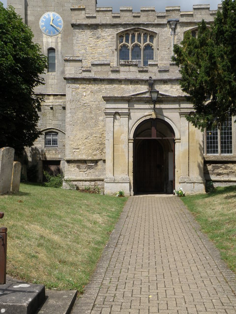
Baston is known for its quaint charm and traditional English character. It boasts a collection of charming stone cottages, a beautiful medieval church, and a thriving community spirit. The village's history can be traced back to Roman times, with evidence of Roman pottery and coins found in the area.

One of the village's prominent landmarks is Baston Windmill, a restored tower mill built in 1836, which now serves as a museum and visitor attraction. The windmill offers visitors a glimpse into the area's agricultural heritage and provides panoramic views of the surrounding countryside from its observation deck.

Baston is also home to a range of amenities and services, including a primary school, a village hall, a pub, and a few local shops. The village hosts various events throughout the year, including summer fairs, art exhibitions, and community gatherings.

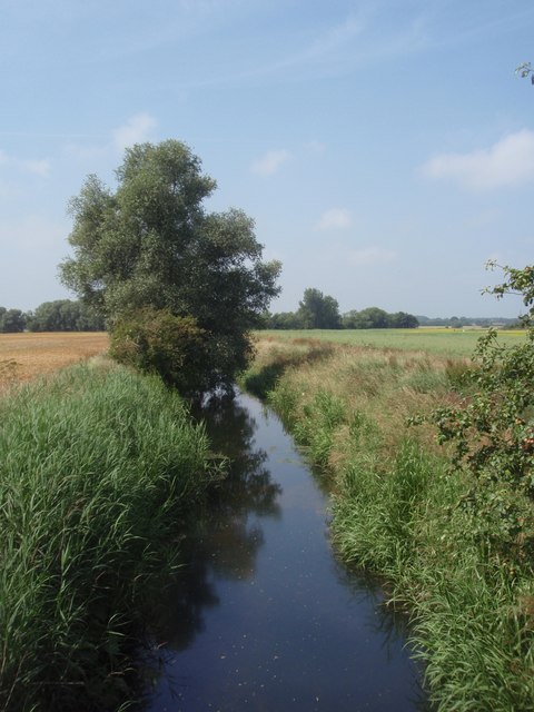
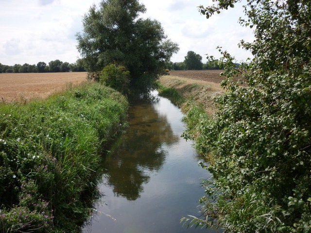
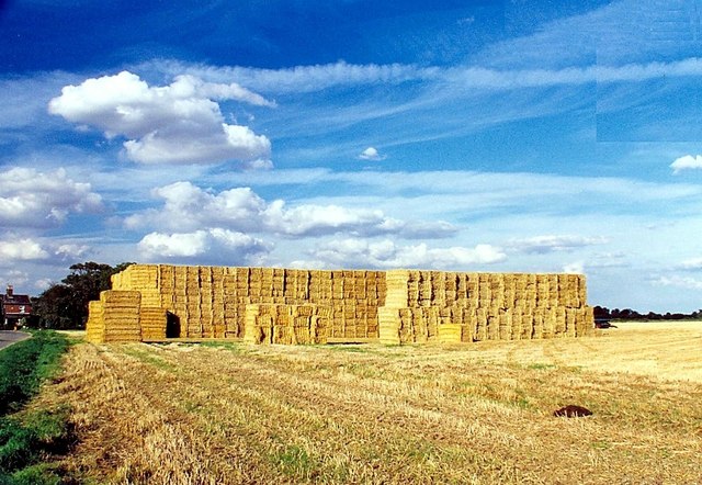
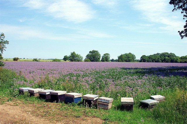
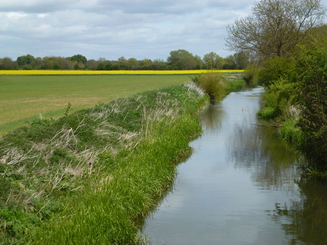
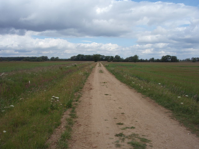
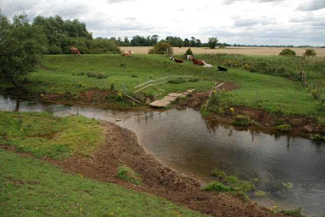
Surrounded by natural beauty, Baston offers plenty of opportunities for outdoor activities. The nearby Baston Fen Nature Reserve is a haven for wildlife enthusiasts, with its diverse range of plant and animal species. The village is also a popular destination for walkers and cyclists, thanks to its tranquil country lanes and well-maintained footpaths.

Overall, Baston is a charming and peaceful village that captures the essence of rural England, making it an idyllic place to live or visit.

If you have any feedback on the listing, please let us know in the comments section below.

Baston Images

Images are sourced within 2km of 52.712521/-0.351968 or Grid Reference TF1114. Thanks to Geograph Open Source API. All images are credited.

Approaching Obthorpe Lodge Rape planted in every direction you care to look.  This track is on the Macmillan Way long distance route from Lincolnshire to Dorset.  Obthorpe is a convenient point to finish the second day, with accommodation in nearby Thurlby.
Approaching Obthorpe Lodge
Rape planted in every direction you care to look. This track is on the Macmillan Way long distance route from Lincolnshire to Dorset. Obthorpe is a convenient point to finish the second day, with accommodation in nearby Thurlby.
River Glen, Wilsthorpe The River Glen flowing through Wilsthorpe, Lincolnshire.
River Glen, Wilsthorpe
The River Glen flowing through Wilsthorpe, Lincolnshire.
Bridge over the River Glen Just 'The Glen' now, having formed from merging of the West Glen and the East Glen rivers 200 yards upstream (behind camera) <a href="https://www.geograph.org.uk/photo/115190">TF0913 : Confluence of the East Glen and West Glen rivers</a>
Bridge over the River Glen
Just 'The Glen' now, having formed from merging of the West Glen and the East Glen rivers 200 yards upstream (behind camera) TF0913 : Confluence of the East Glen and West Glen rivers
River Glen near Wilsthorpe
Straw bales at Wilsthorpe, near Bourne, Lincolnshire The corn harvest is one of the busiest times of the year for farmers and once the crop has been combined our fields are filled with straw bales such as here at Wilsthorpe, near Bourne, where it is stacked for use as winter bedding for cattle or for sale to contractors.
Straw bales at Wilsthorpe, near Bourne, Lincolnshire
The corn harvest is one of the busiest times of the year for farmers and once the crop has been combined our fields are filled with straw bales such as here at Wilsthorpe, near Bourne, where it is stacked for use as winter bedding for cattle or for sale to contractors.
Bees and borage near Bourne, Lincolnshire Bees love borage (Borago officinalis), a herb with brilliant blue, star-like flowers and greyish-green leaves, and a local bee keeper moved ten of his portable hives containing flourishing colonies of several thousand bees to the field's edge at Wilsthorpe to take advantage of the sudden abundance of nectar created by this crop to help produce many jars of Lincolnshire borage honey.
Bees and borage near Bourne, Lincolnshire
Bees love borage (Borago officinalis), a herb with brilliant blue, star-like flowers and greyish-green leaves, and a local bee keeper moved ten of his portable hives containing flourishing colonies of several thousand bees to the field's edge at Wilsthorpe to take advantage of the sudden abundance of nectar created by this crop to help produce many jars of Lincolnshire borage honey.
The River Glen near Wilsthorpe, Lincolnshire
North Meadow Road Looking north along North Meadow Road towards the River Glen.
North Meadow Road
Looking north along North Meadow Road towards the River Glen.
Flush bracket bench mark fixed to the Waggon & Horses An OS flush bracket adjacent to the A15 fixed to the wall of the Waggon & Horses Inn. <a href="https://www.geograph.org.uk/photo/2467644">TF1212 : Pub in Langtoft</a>
Flush bracket bench mark fixed to the Waggon & Horses
An OS flush bracket adjacent to the A15 fixed to the wall of the Waggon & Horses Inn. TF1212 : Pub in Langtoft
Pub in Langtoft Located by the busy A15 trunk road the pub also sports a flush bracket bench mark on the lower right hand side. See <a href="https://www.geograph.org.uk/photo/2467640">TF1212 : Flush bracket bench mark fixed to the Waggon & Horses</a> for close up detail.
Pub in Langtoft
Located by the busy A15 trunk road the pub also sports a flush bracket bench mark on the lower right hand side. See TF1212 : Flush bracket bench mark fixed to the Waggon & Horses for close up detail.
Bench mark on Langtoft church An OS cut mark easily seen on the porch of Langtoft church.
Bench mark on Langtoft church
An OS cut mark easily seen on the porch of Langtoft church.
Langtoft Church A bench mark can be seen on the lower left of the porch and the church clock was showing the right time.
Langtoft Church
A bench mark can be seen on the lower left of the porch and the church clock was showing the right time.
Cattle Ford at Thurlby Fen near Thurlby This ford is found on the West Glen River at Thulby Fen.
Cattle Ford at Thurlby Fen near Thurlby
This ford is found on the West Glen River at Thulby Fen.
Langtoft village sign One of the more unusual village signs, Langtoft's sign may be unique. It is on the corner of the busy Bourne Road (A15) with East End. The churchyard is behind the hedge.
Langtoft village sign
One of the more unusual village signs, Langtoft's sign may be unique. It is on the corner of the busy Bourne Road (A15) with East End. The churchyard is behind the hedge.
Village sign and notice board at Langtoft One of the more unusual village signs, Langtoft's sign may be unique. It is on the corner of the busy Bourne Road (A15) with East End. The sign, the notice board, the seats and the flower tubs have all brightened up this corner. The churchyard is behind the hedge.
Village sign and notice board at Langtoft
One of the more unusual village signs, Langtoft's sign may be unique. It is on the corner of the busy Bourne Road (A15) with East End. The sign, the notice board, the seats and the flower tubs have all brightened up this corner. The churchyard is behind the hedge.
St Michael and All Angels Church, Langtoft This is the view from the corner of the busy Bourne Road (A15) with East End. The church of St Michael and All Angels is Early English and Decorated.
St Michael and All Angels Church, Langtoft
This is the view from the corner of the busy Bourne Road (A15) with East End. The church of St Michael and All Angels is Early English and Decorated.
Baston village sign The village sign at Baston was erected alongside Main Street to mark the new Millennium. The illustrated sign depicts scenes from the village's past. The village lies between the Roman road known as King Street, and the canal called Car Dyke which the Romans used to haul men and supplies to their armies in the north. The sign includes a Roman soldier, Hudson's corn mill and a stook (representing agriculture). A time capsule is buried beneath the sign.
Baston village sign
The village sign at Baston was erected alongside Main Street to mark the new Millennium. The illustrated sign depicts scenes from the village's past. The village lies between the Roman road known as King Street, and the canal called Car Dyke which the Romans used to haul men and supplies to their armies in the north. The sign includes a Roman soldier, Hudson's corn mill and a stook (representing agriculture). A time capsule is buried beneath the sign.
Show me another place!

Baston is located at Grid Ref: TF1114 (Lat: 52.712521, Lng: -0.351968)

Division: Parts of Kesteven

Administrative County: Lincolnshire

District: South Kesteven

Police Authority: Lincolnshire

What 3 Words

///validated.patrolled.cashier. Near Baston, Lincolnshire

Nearby Locations

Baston Thetford

Related Wikis

Baston

Baston is a village and parish on the edge of The Fens and in the administrative district of South Kesteven, Lincolnshire, England. The 2011 census reported...

Kirkstone House School

Kirkstone House School is an independent day school situated in the rural village of Baston in south Lincolnshire, England.The school provides education...

Thetford, Lincolnshire

Thetford is a hamlet and farm in the civil parish of Baston in the South Kesteven district of Lincolnshire, England. Although Thetford has shrunken to...

Kates Bridge

Kates Bridge is a landmark settlement on the A15 road, in the parish of Thurlby. It is approximately 3 miles (5 km) south from Bourne, Lincolnshire, England...

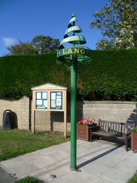
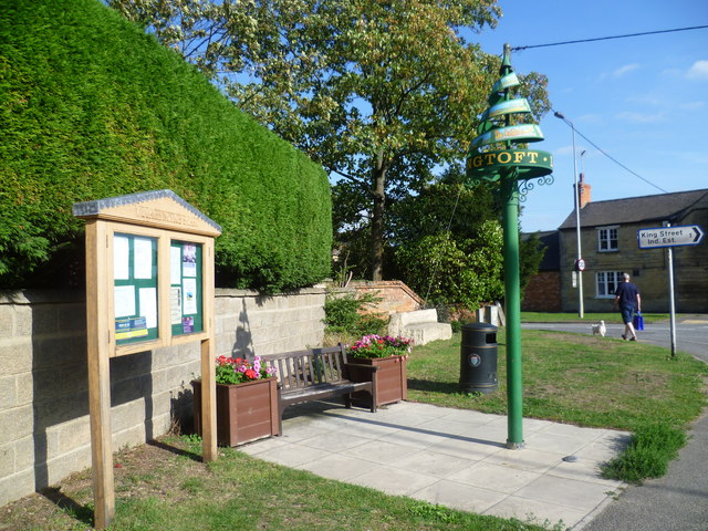
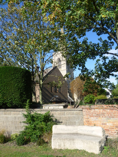
Langtoft, Lincolnshire

Langtoft is a village and civil parish in the South Kesteven district of Lincolnshire, England. The population of the civil parish at the 2021 census was...

Wilsthorpe, Lincolnshire

Wilsthorpe is a village in the district of South Kesteven in the county of Lincolnshire, England. It is situated approximately 6 miles (10 km) north-east...

Obthorpe

Obthorpe is a hamlet in the civil parish of Thurlby, in the South Kesteven district of Lincolnshire, England. It lies 3 miles (5 km) south from Bourne...

King Street (Roman road)

King Street is the name of a modern road on the line of a Roman road. It runs on a straight course in eastern England, between the City of Peterborough...

Nearby Amenities

Located within 500m of 52.712521,-0.351968
Crossing
Crossing: unmarked
Crossing Island: yes
Lat/Long: 52.7097184/-0.356542
Fixme: please check position of speed limit change
Lat/Long: 52.7121363/-0.3576303
Bus Stop
High Street
Bus: yes
Naptan AtcoCode: 270000009529
Naptan Bearing: SE
Naptan BusStopType: CUS
Naptan CommonName: High Street
Naptan Indicator: adj
Naptan Landmark: High Street
Naptan NaptanCode: linjdgdp
Naptan Street: A15 Crossroads
Naptan Verified: no
Public Transport: platform
Shelter: yes
Source: naptan_import
Lat/Long: 52.7115563/-0.357161
Bus Stop
St John the Baptist's Church
Bench: no
Bin: no
Bus: yes
Lit: no
Naptan AtcoCode: 270002700032
Naptan Bearing: NE
Naptan BusStopType: CUS
Naptan CommonName: St John the Baptist's Church
Naptan Indicator: opp
Naptan Landmark: St John the Baptist's Church
Naptan NaptanCode: linjtagp
Naptan Street: Main Street
Naptan Verified: no
Public Transport: platform
Shelter: no
Source: naptan_import
Tactile Paving: no
Lat/Long: 52.7123608/-0.3529411
Bus Stop
St John the Baptist's Church
Bench: no
Bin: no
Bus: yes
Lit: no
Naptan AtcoCode: 270002700033
Naptan Bearing: SW
Naptan BusStopType: CUS
Naptan CommonName: St John the Baptist's Church
Naptan Indicator: adj
Naptan Landmark: St John the Baptist's Church
Naptan NaptanCode: linjtagt
Naptan Street: Main Street
Naptan Verified: no
Public Transport: platform
Shelter: no
Source: naptan_import
Tactile Paving: no
Lat/Long: 52.7122432/-0.3528863
Bus Stop
High Street
Bus: yes
Naptan AtcoCode: 2700LBC00310
Naptan Bearing: NW
Naptan CommonName: High Street
Naptan Indicator: opp
Naptan Landmark: High Street
Naptan NaptanCode: linadjtp
Naptan Street: A15 Crossroads
Naptan Verified: no
Public Transport: platform
Shelter: yes
Source: naptan_import
Lat/Long: 52.7114972/-0.3574445
Baston
Place: village
Lat/Long: 52.7109591/-0.3564029
Note: End of Public Highway
Lat/Long: 52.7153668/-0.3529924
Crossing
Crossing: unmarked
Crossing Island: no
Crossing Markings: no
Kerb: lowered
Tactile Paving: no
Lat/Long: 52.7136949/-0.3488067
Crossing
Crossing: unmarked
Crossing Island: no
Crossing Markings: no
Kerb: flush
Tactile Paving: no
Lat/Long: 52.7142346/-0.3473864
Post Box
Lat/Long: 52.7149971/-0.3462891
Urns Farm
Historic Place: farm
Source: Bing
Lat/Long: 52.71038/-0.3580607
East Field
Place: locality
Source: Bing
Lat/Long: 52.7136545/-0.3458062
Inholms
Place: locality
Source: Bing
Lat/Long: 52.710068/-0.3509392
Traffic Signals
Traffic Signals Direction: forward
Lat/Long: 52.711483/-0.3572503
Traffic Signals
Traffic Signals Direction: backward
Lat/Long: 52.7115693/-0.357304
Crossing
Crossing: traffic_signals
Crossing Ref: pelican
Kerb: lowered
Lat/Long: 52.7115284/-0.3572785
Noexit: yes
Lat/Long: 52.7110444/-0.3515141
Crossing
Lat/Long: 52.7090736/-0.3498783
Crossing
Lat/Long: 52.709678/-0.3503062
Noexit: yes
Lat/Long: 52.710284/-0.3502618
The data included in this document is from www.openstreetmap.org. The data is made available under ODbL.

Have you been to Baston?

Leave your review of Baston below (or comments, questions and feedback).