Bastleford
Settlement in Pembrokeshire
Wales
Bastleford

Bastleford is a small village located in Pembrokeshire, Wales. Situated in the southwestern part of the country, it is surrounded by picturesque countryside and a rich history. The village is nestled between rolling hills, with the nearby Cleddau River providing a scenic backdrop.
With a population of approximately 500 residents, Bastleford maintains a tight-knit community feel. The village primarily consists of traditional Welsh stone houses, giving it a charming and rustic character. The local economy is predominantly centered around agriculture, with many residents engaged in farming or related industries.
Bastleford benefits from its proximity to the Pembrokeshire Coast National Park, a renowned natural beauty spot. This allows residents and visitors alike to enjoy a range of outdoor activities, including hiking, cycling, and birdwatching. The area is also home to many species of wildlife, making it a haven for nature enthusiasts.
The village has a few amenities to serve its residents, including a local pub, a primary school, and a small convenience store. However, for more extensive shopping or entertainment options, residents often travel to the nearby town of Haverfordwest, located approximately 5 miles away.
Overall, Bastleford offers a peaceful and idyllic lifestyle, surrounded by stunning landscapes and a close-knit community. Its location within the beautiful county of Pembrokeshire makes it an attractive destination for those seeking a tranquil retreat in the Welsh countryside.
If you have any feedback on the listing, please let us know in the comments section below.
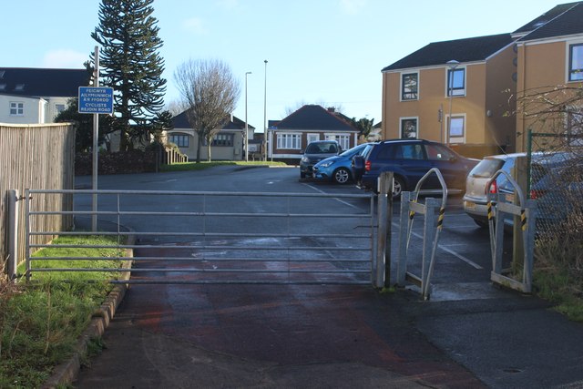
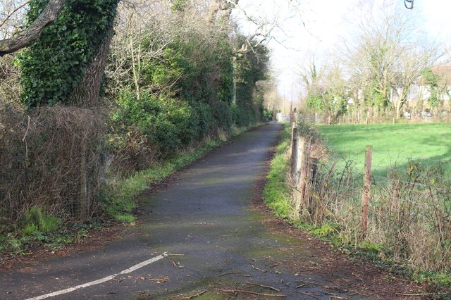
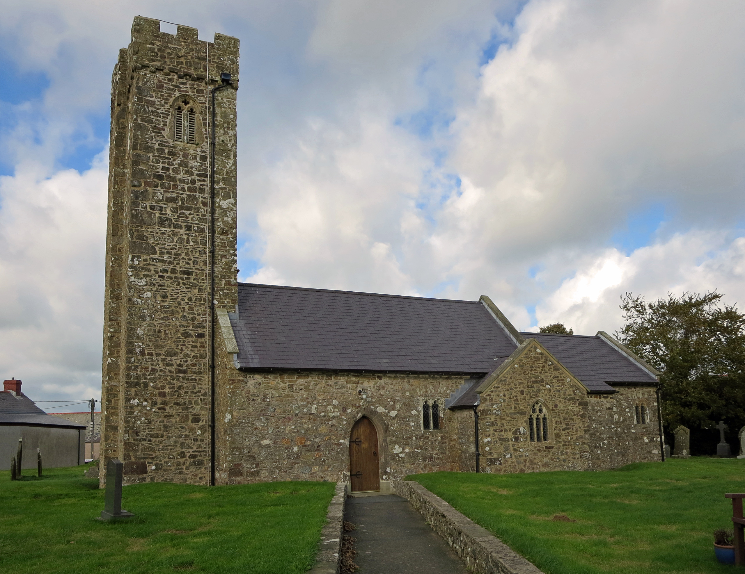
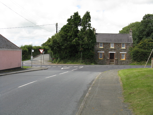
Bastleford Images
Images are sourced within 2km of 51.749213/-4.972723 or Grid Reference SM9409. Thanks to Geograph Open Source API. All images are credited.


Bastleford is located at Grid Ref: SM9409 (Lat: 51.749213, Lng: -4.972723)
Unitary Authority: Pembrokeshire
Police Authority: Dyfed Powys
What 3 Words
///goggles.laminated.unframed. Near Johnston, Pembrokeshire
Nearby Locations
Related Wikis

Benton Fault
The Benton Fault is a geological fault in southern Pembrokeshire in Wales that was active as a normal fault during the deposition of the Old Red Sandstone...
Johnston, Pembrokeshire
Johnston is a village, parish and community in the former hundred of Roose, Pembrokeshire, Wales, and a parish in the diocese of Diocese of St David's...
Freystrop
Freystrop is a village, parish and community in Pembrokeshire, Wales, 2 miles (3.2 km) southeast of Haverfordwest. == References == == External links... ==
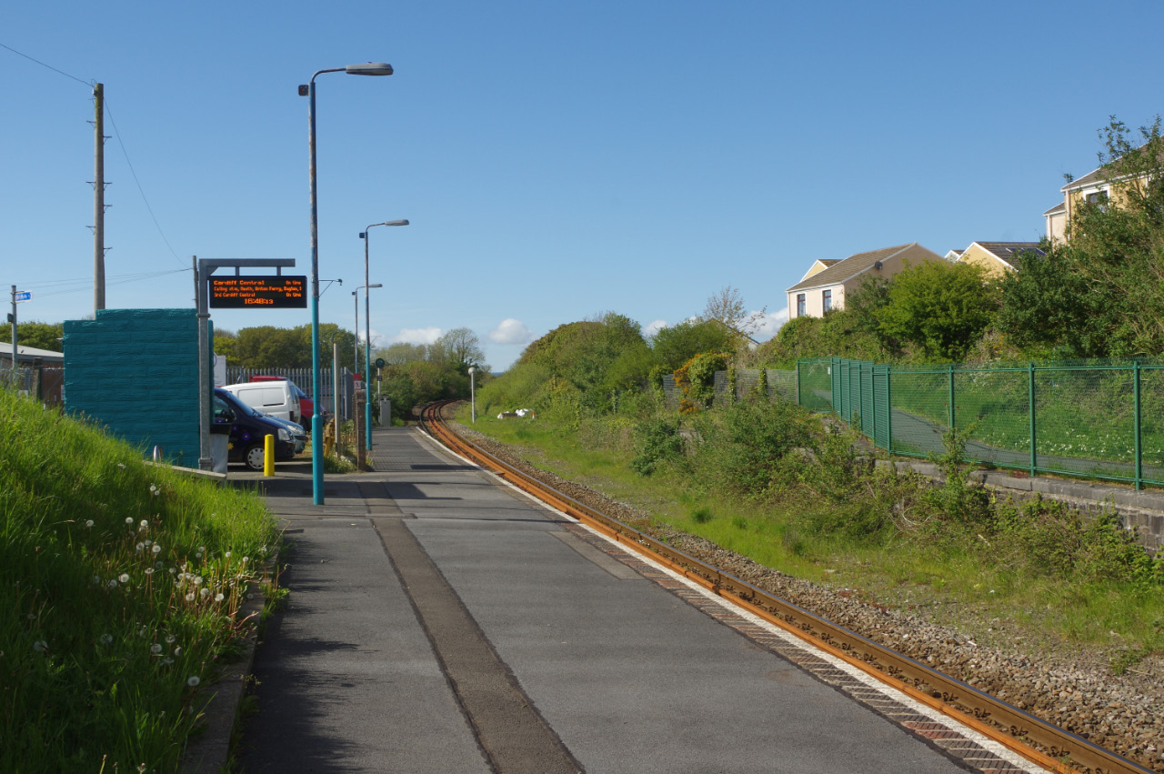
Johnston railway station
Johnston railway station is an unstaffed railway station in the village of Johnston in Pembrokeshire, Wales. It opened in 1856 as part of the final section...
Nearby Amenities
Located within 500m of 51.749213,-4.972723Have you been to Bastleford?
Leave your review of Bastleford below (or comments, questions and feedback).