Thetford

Settlement in Lincolnshire South Kesteven

England

Thetford

Wheat field near Obthorpe
Wheat field near Obthorpe Credit: Jonathan Thacker

Thetford is a small market town located in the county of Lincolnshire, in the East Midlands region of England. Situated approximately 20 miles south of the city of Lincoln, Thetford is nestled amidst the picturesque landscapes of the Lincolnshire Wolds, an Area of Outstanding Natural Beauty.

The town has a rich history dating back to Roman times, with remnants of the ancient civilization still visible today. Thetford boasts an impressive range of historical landmarks, including the ruins of a Norman castle and St. Mary's Church, a stunning example of medieval architecture.

Despite its small size, Thetford has a vibrant community and a range of amenities that cater to residents and visitors alike. The town center features a variety of independent shops, cafes, and restaurants, providing a charming and welcoming atmosphere. There are also several supermarkets and larger retail chains located on the outskirts of town.

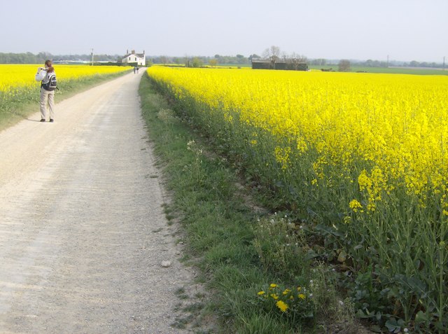
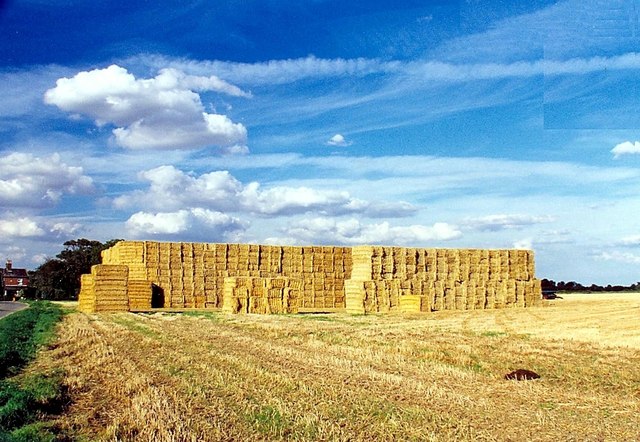
Thetford is renowned for its natural beauty and offers ample opportunities for outdoor activities. The surrounding countryside is dotted with walking and cycling trails, allowing visitors to explore the stunning landscapes and enjoy the serenity of the area. Additionally, nearby Thetford Forest Park is a popular destination for nature enthusiasts, offering a range of recreational activities, including hiking, wildlife spotting, and camping.

Transport links to Thetford are convenient, with the A11 road providing easy access to other parts of Lincolnshire and the wider region. The town also benefits from a railway station, connecting it to major cities such as Norwich and Cambridge.

Overall, Thetford is a charming and historically significant town, offering a blend of natural beauty, cultural heritage, and a warm community atmosphere.

If you have any feedback on the listing, please let us know in the comments section below.
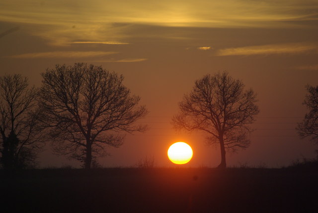
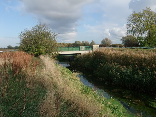
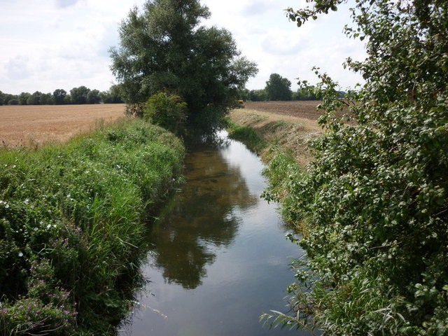
Thetford Images

Images are sourced within 2km of 52.7202/-0.3565 or Grid Reference TF1114. Thanks to Geograph Open Source API. All images are credited.

Wheat field near Obthorpe
Sheep near Park Wood
Footpath to Obthorpe This footpath takes a shortcut from the road directly to Obthorpe.
Footpath to Obthorpe
This footpath takes a shortcut from the road directly to Obthorpe.
Obthorpe crossroads Three roads and a footpath intersect here: Thurlby left, Obthorpe behind, Bourne or Peterborough ahead (the A15), and Macmillan Way -- long distance route, to the right.
Obthorpe crossroads
Three roads and a footpath intersect here: Thurlby left, Obthorpe behind, Bourne or Peterborough ahead (the A15), and Macmillan Way -- long distance route, to the right.
Large field of Oilseed Rape in flower The hamlet of Obthorpe can be seen on the horizon.
Large field of Oilseed Rape in flower
The hamlet of Obthorpe can be seen on the horizon.
Rape at Obthorpe Looking west towards the setting sun and the village of Obthorpe, from the approach track to Obthorpe Lodge.  Guess what the yellow plant is?!
Rape at Obthorpe
Looking west towards the setting sun and the village of Obthorpe, from the approach track to Obthorpe Lodge. Guess what the yellow plant is?!
Approaching Obthorpe Lodge Rape planted in every direction you care to look.  This track is on the Macmillan Way long distance route from Lincolnshire to Dorset.  Obthorpe is a convenient point to finish the second day, with accommodation in nearby Thurlby.
Approaching Obthorpe Lodge
Rape planted in every direction you care to look. This track is on the Macmillan Way long distance route from Lincolnshire to Dorset. Obthorpe is a convenient point to finish the second day, with accommodation in nearby Thurlby.
The road into Obthorpe From the east end of the village, on the route of the Macmillan Way.
The road into Obthorpe
From the east end of the village, on the route of the Macmillan Way.
Obthorpe sunset Sunset over Obthorpe Lane near Thurlby
Obthorpe sunset
Sunset over Obthorpe Lane near Thurlby
Macmillan Way, Obthorpe The Macmillan Way recreation path. Pictured near Obthorpe, Lincolnshire.
Macmillan Way, Obthorpe
The Macmillan Way recreation path. Pictured near Obthorpe, Lincolnshire.
Private Road, Obthorpe A private farm track in Obthorpe, heading over one of the larger hills in the area.
Private Road, Obthorpe
A private farm track in Obthorpe, heading over one of the larger hills in the area.
Bridge over the River Glen Just 'The Glen' now, having formed from merging of the West Glen and the East Glen rivers 200 yards upstream (behind camera) <a href="https://www.geograph.org.uk/photo/115190">TF0913 : Confluence of the East Glen and West Glen rivers</a>
Bridge over the River Glen
Just 'The Glen' now, having formed from merging of the West Glen and the East Glen rivers 200 yards upstream (behind camera) TF0913 : Confluence of the East Glen and West Glen rivers
Approaching Obthorpe View of the village as you approach having turned the last bend heading northwards.
Approaching Obthorpe
View of the village as you approach having turned the last bend heading northwards.
River Glen near Wilsthorpe
Barn and Lane at Manor Farm, Obthorpe Looking south-westward.
Barn and Lane at Manor Farm, Obthorpe
Looking south-westward.
Ordnance Survey Cut Mark This mark can be found on a building at Manor Farm, Obthorpe.
For more detail see : <span class="nowrap"><a title="http://www.bench-marks.org.uk/bm59258" rel="nofollow ugc noopener" href="http://www.bench-marks.org.uk/bm59258">Link</a><img style="margin-left:2px;" alt="External link" title="External link - shift click to open in new window" src="https://s1.geograph.org.uk/img/external.png" width="10" height="10"/></span>
Ordnance Survey Cut Mark
This mark can be found on a building at Manor Farm, Obthorpe. For more detail see : LinkExternal link
Oil seed blossom at Thurlby, near Bourne, Lincolnshire Oil seed (Brassica napus) blossom bursts upon the English countryside in late spring and early summer, turning the landscape a bright yellow as far as the eye can see. The pungent scent wafts in through the car window as you pass and can cause problems for sufferers of hay fever but the crop has become a popular one for the production of vegetable oil and its high profit potential has lured many farmers away from traditional cereals. South Lincolnshire has its share every year such as here on the outskirts of Thurlby, near Bourne, where the acreage stretches to the far horizon.
Oil seed blossom at Thurlby, near Bourne, Lincolnshire
Oil seed (Brassica napus) blossom bursts upon the English countryside in late spring and early summer, turning the landscape a bright yellow as far as the eye can see. The pungent scent wafts in through the car window as you pass and can cause problems for sufferers of hay fever but the crop has become a popular one for the production of vegetable oil and its high profit potential has lured many farmers away from traditional cereals. South Lincolnshire has its share every year such as here on the outskirts of Thurlby, near Bourne, where the acreage stretches to the far horizon.
Straw bales at Wilsthorpe, near Bourne, Lincolnshire The corn harvest is one of the busiest times of the year for farmers and once the crop has been combined our fields are filled with straw bales such as here at Wilsthorpe, near Bourne, where it is stacked for use as winter bedding for cattle or for sale to contractors.
Straw bales at Wilsthorpe, near Bourne, Lincolnshire
The corn harvest is one of the busiest times of the year for farmers and once the crop has been combined our fields are filled with straw bales such as here at Wilsthorpe, near Bourne, where it is stacked for use as winter bedding for cattle or for sale to contractors.
Show me another place!

Thetford is located at Grid Ref: TF1114 (Lat: 52.7202, Lng: -0.3565)

Division: Parts of Kesteven

Administrative County: Lincolnshire

District: South Kesteven

Police Authority: Lincolnshire

What 3 Words

///rooting.strikers.vibes. Near Baston, Lincolnshire

Nearby Locations

Thetford Baston

Related Wikis

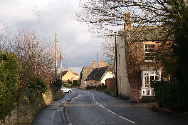
Thetford, Lincolnshire

Thetford is a hamlet and farm in the civil parish of Baston in the South Kesteven district of Lincolnshire, England. Although Thetford has shrunken to...

Kates Bridge

Kates Bridge is a landmark settlement on the A15 road, in the parish of Thurlby. It is approximately 3 miles (5 km) south from Bourne, Lincolnshire, England...
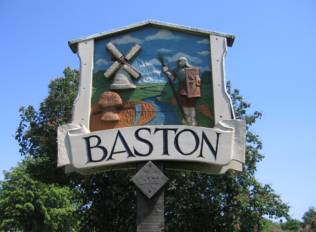
Baston

Baston is a village and parish on the edge of The Fens and in the administrative district of South Kesteven, Lincolnshire, England. The 2011 census reported...

Kirkstone House School

Kirkstone House School is an independent day school situated in the rural village of Baston in south Lincolnshire, England.The school provides education...

Obthorpe

Obthorpe is a hamlet in the civil parish of Thurlby, in the South Kesteven district of Lincolnshire, England. It lies 3 miles (5 km) south from Bourne...

Wilsthorpe, Lincolnshire

Wilsthorpe is a village in the district of South Kesteven in the county of Lincolnshire, England. It is situated approximately 6 miles (10 km) north-east...

Thurlby, South Kesteven

Thurlby is a village and civil parish in the South Kesteven district of Lincolnshire, England. It is situated just west of the A15 road, 2 miles (3 km...

Langtoft, Lincolnshire

Langtoft is a village and civil parish in the South Kesteven district of Lincolnshire, England. The population of the civil parish at the 2021 census was...

Nearby Amenities

Located within 500m of 52.7202,-0.3565
Bus Stop
Waterside Garden Centre
Bus: yes
Naptan AtcoCode: 270002701684
Naptan Bearing: NW
Naptan BusStopType: CUS
Naptan CommonName: Waterside Garden Centre
Naptan Indicator: adj
Naptan Landmark: Waterside Garden Centre
Naptan Street: A15
Naptan Verified: no
Public Transport: platform
Source: naptan_import
Lat/Long: 52.7187552/-0.362813
Bus Stop
Waterside Garden Centre
Bus: yes
Naptan AtcoCode: 270002701685
Naptan Bearing: SE
Naptan BusStopType: CUS
Naptan CommonName: Waterside Garden Centre
Naptan Indicator: opp
Naptan Landmark: Waterside Garden Centre
Naptan Street: A15
Naptan Verified: no
Public Transport: platform
Source: naptan_import
Lat/Long: 52.7187879/-0.3625749
Barrier: stile
Bicycle: no
Foot: designated
Motor Vehicle: private
Steps: 2
Stile: stepover
Lat/Long: 52.723985/-0.3582103
Barrier: stile
Lat/Long: 52.7241608/-0.3581186
Barrier: stile
Steps: 2
Stile: stepover
Lat/Long: 52.7205993/-0.3626655
Kate's Bridge Farm
Place: farm
Source: Bing
Lat/Long: 52.7233145/-0.3604469
Thetford
Place: isolated_dwelling
Source: Bing
Lat/Long: 52.7204546/-0.3561186
Parking
Access: permissive
Fee: no
Parking: layby
Surface: gravel
Lat/Long: 52.7211407/-0.3633139
Access: private
Barrier: stile
Foot: designated
Lat/Long: 52.7210484/-0.3636694
The data included in this document is from www.openstreetmap.org. The data is made available under ODbL.

Have you been to Thetford?

Leave your review of Thetford below (or comments, questions and feedback).