Bastonford
Settlement in Worcestershire Malvern Hills
England
Bastonford

Bastonford is a peaceful village located in the county of Worcestershire, England. Situated approximately 6 miles south of the city of Worcester, it is surrounded by picturesque countryside and offers a tranquil escape from the hustle and bustle of urban life.
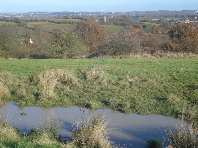
The village is characterized by its charming rural setting, with rolling hills, open fields, and winding country lanes. It boasts a small population, creating a close-knit community atmosphere where residents know each other by name and take pride in their village.
Bastonford is primarily a residential area, with a mix of traditional English cottages and modern homes dotting the landscape. The village center features a few local shops, including a convenience store and a cozy café, catering to the daily needs of its residents.
For outdoor enthusiasts, there are several walking and cycling routes that crisscross the surrounding countryside, offering stunning views of the Worcestershire landscape. The nearby River Severn provides opportunities for boating and fishing, and the charming Bastonford Woods offers a peaceful retreat for nature lovers.
Despite its peaceful ambiance, Bastonford is conveniently located close to major transportation links. The nearby A4440 road connects the village to Worcester and other neighboring towns, making it easily accessible for commuters and those seeking to explore the wider region.
In summary, Bastonford is a picturesque village in Worcestershire, offering a peaceful and idyllic setting for residents and visitors alike. With its charming countryside, close-knit community, and convenient location, it is a hidden gem in the heart of England.
If you have any feedback on the listing, please let us know in the comments section below.
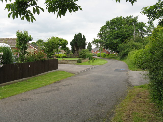
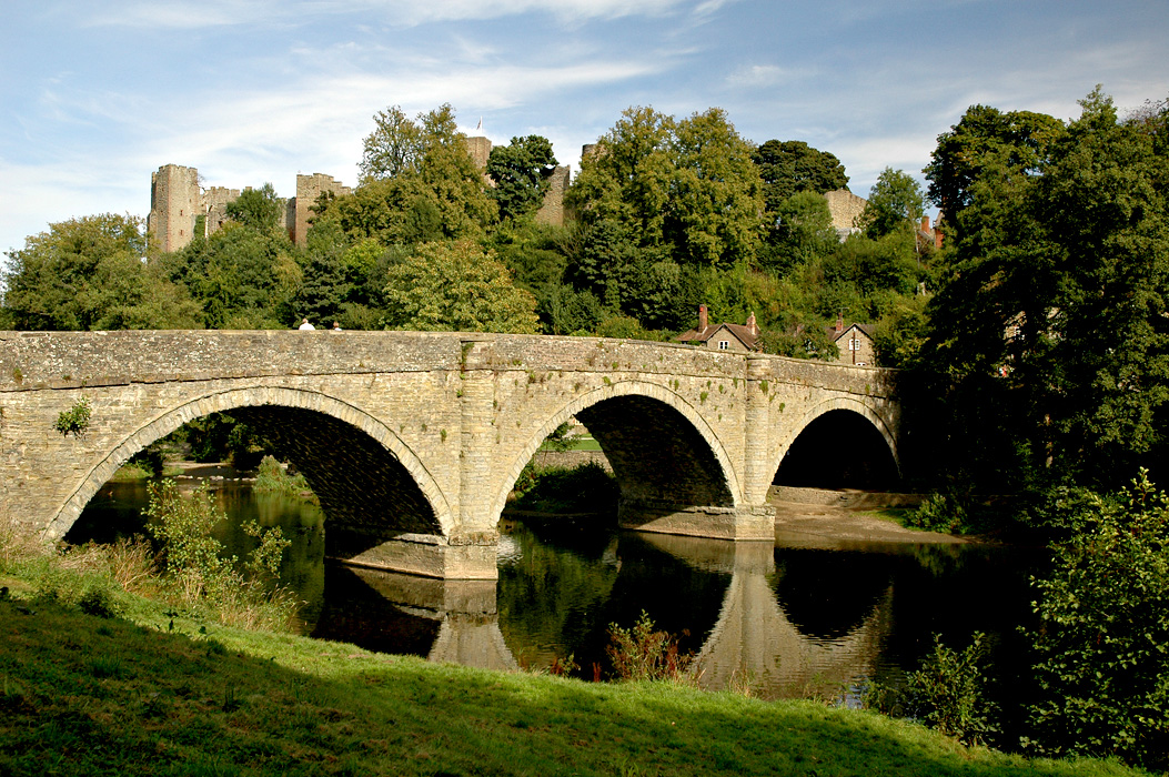
Bastonford Images
Images are sourced within 2km of 52.153774/-2.274759 or Grid Reference SO8150. Thanks to Geograph Open Source API. All images are credited.


Bastonford is located at Grid Ref: SO8150 (Lat: 52.153774, Lng: -2.274759)
Administrative County: Worcestershire
District: Malvern Hills
Police Authority: West Mercia
What 3 Words
///panthers.rejoin.webcams. Near Kempsey, Worcestershire
Nearby Locations
Related Wikis
Bowling Green, Worcestershire
Bowling Green is a village in Worcestershire, England.
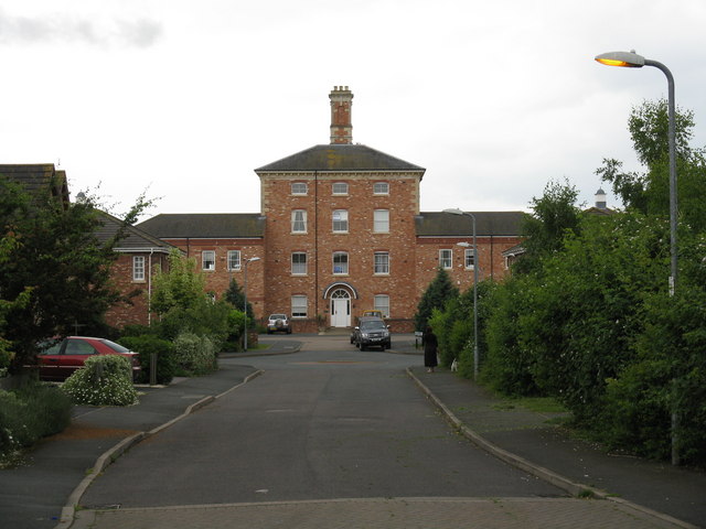
Powick Hospital
Powick Hospital, which opened in 1847 was a psychiatric facility located on 552 acres (223 ha) outside the village of Powick, near Malvern, Worcestershire...

West Worcestershire (UK Parliament constituency)
West Worcestershire is a constituency in Worcestershire represented in the House of Commons of the UK Parliament since 2010 by Harriett Baldwin, a Conservative...
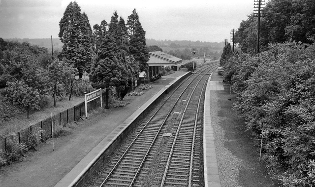
Bransford Road railway station
Bransford Road railway station was a station in Bransford, Worcestershire, England. The station was opened in 1860 and closed on 5 April 1965. The original...

Newland Halt railway station
Newland Halt railway station was a station in Newland, Worcestershire, England. The station was opened on 18 March 1929 and closed on 5 April 1965. �...

Powick
Powick is a village and civil parish in the Malvern Hills district of Worcestershire, England, located two miles south of the city of Worcester and four...
River Teme
The River Teme (pronounced ; Welsh: Afon Tefeidiad) rises in Mid Wales, south of Newtown, and flows southeast roughly forming the border between England...
Old Hills
The Old Hills are an area of common land in Worcestershire, England. They are located around two miles to the east of Great Malvern and about a mile west...
Nearby Amenities
Located within 500m of 52.153774,-2.274759Have you been to Bastonford?
Leave your review of Bastonford below (or comments, questions and feedback).