Bastwick
Settlement in Norfolk Great Yarmouth
England
Bastwick

Bastwick is a picturesque village located in the county of Norfolk, England. Situated approximately 12 miles east of Norwich, it is nestled amidst the tranquil and scenic Norfolk Broads, making it an idyllic destination for nature lovers and those seeking a peaceful retreat.
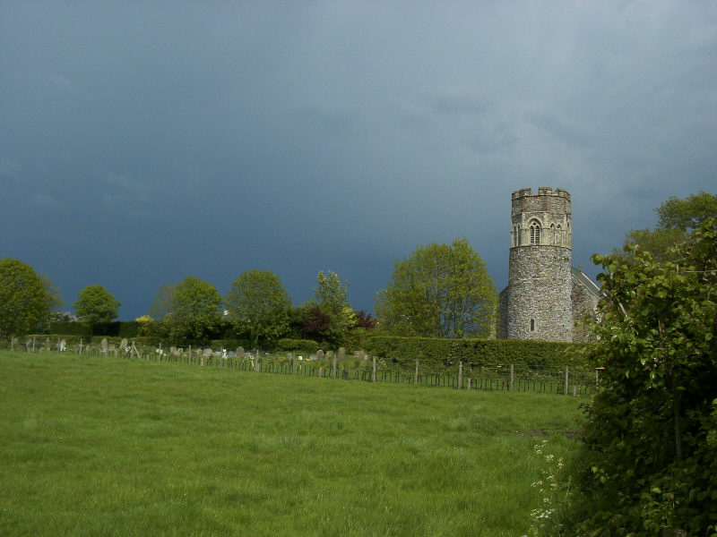
The village is small in size, with a population of around 200 residents. It exudes a quaint charm, with its traditional thatched-roof cottages and well-preserved historic buildings. The village center is characterized by a delightful village green, surrounded by a scattering of houses and a small church, adding to its quintessential English village ambiance.
Bastwick is predominantly an agricultural community, with the surrounding countryside being utilized for farming activities. The fertile fields and meadows provide a beautiful backdrop for leisurely walks or bike rides, allowing visitors to immerse themselves in the region's natural beauty.
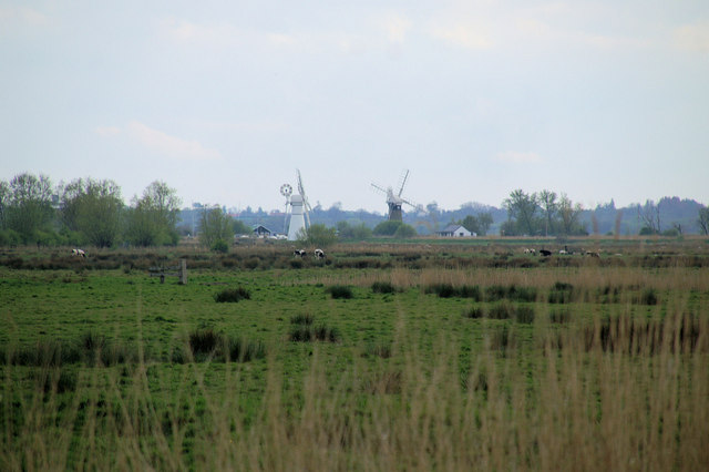
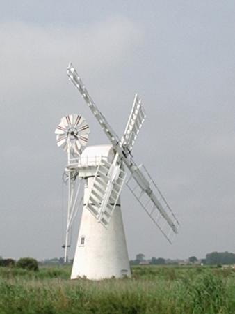
The village is also renowned for its proximity to the Norfolk Broads, a network of rivers, lakes, and marshes that attract boating enthusiasts and wildlife enthusiasts alike. The nearby river provides opportunities for fishing, canoeing, and sailing, allowing visitors to explore the waterways and discover the diverse flora and fauna that thrive in this unique ecosystem.
Although small in size, Bastwick offers a close-knit community atmosphere, with various local events and gatherings held throughout the year. Additionally, its convenient location allows easy access to nearby towns and attractions, making it an ideal base for exploring the wider Norfolk region.
If you have any feedback on the listing, please let us know in the comments section below.
Bastwick Images
Images are sourced within 2km of 52.703913/1.585469 or Grid Reference TG4217. Thanks to Geograph Open Source API. All images are credited.


Bastwick is located at Grid Ref: TG4217 (Lat: 52.703913, Lng: 1.585469)
Administrative County: Norfolk
District: Great Yarmouth
Police Authority: Norfolk
What 3 Words
///jabs.ambitions.positions. Near Martham, Norfolk
Nearby Locations
Related Wikis

Potter Heigham Bridge Halt railway station
Potter Heigham Bridge Halt was a railway station on the Midland and Great Northern Joint Railway which was opened to serve the boating traffic on the River...
Repps with Bastwick
Repps with Bastwick is a civil parish in the English county of Norfolk. It comprises the adjacent villages of Bastwick and Repps, which are situated some...
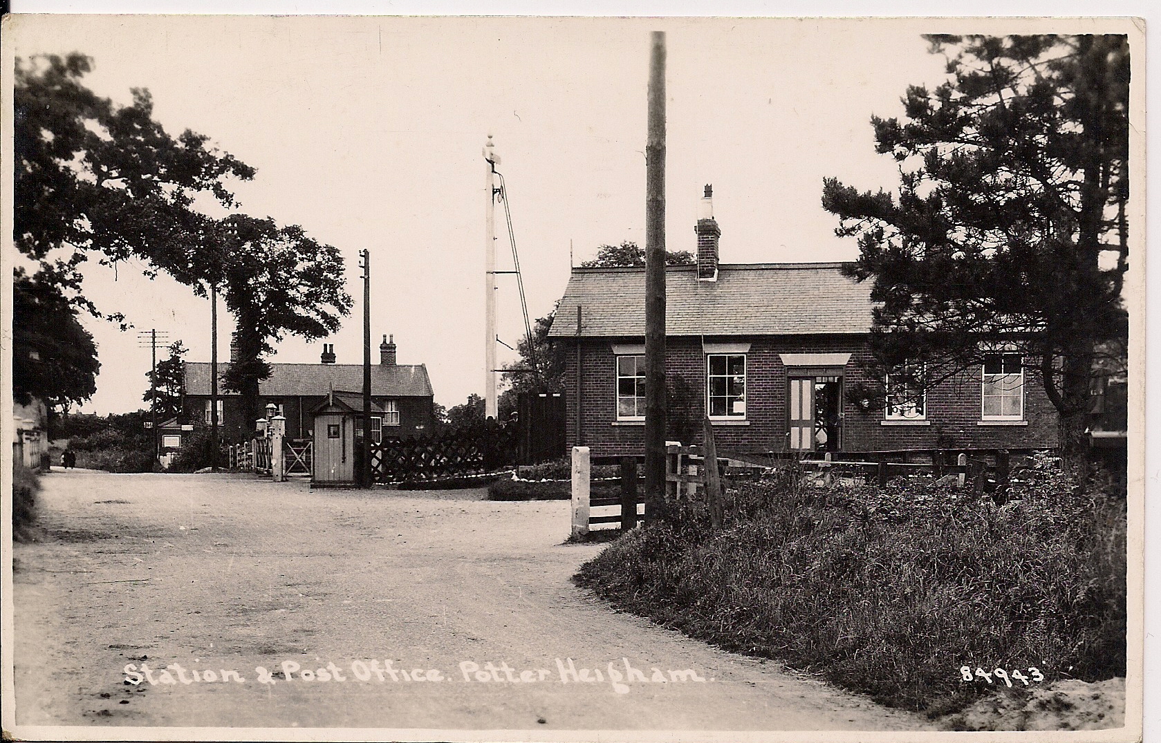
Potter Heigham railway station
Potter Heigham railway station was a railway station in Norfolk. It was on the line between Melton Constable and Great Yarmouth. It closed in 1959. In...
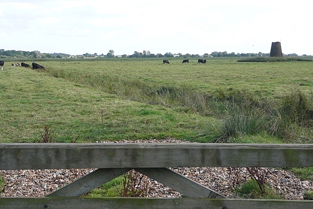
Ludham - Potter Heigham Marshes
Ludham - Potter Heigham Marshes is a 101.5-hectare (251-acre) biological Site of Special Scientific Interest north-east of Norwich in Norfolk. Part of...
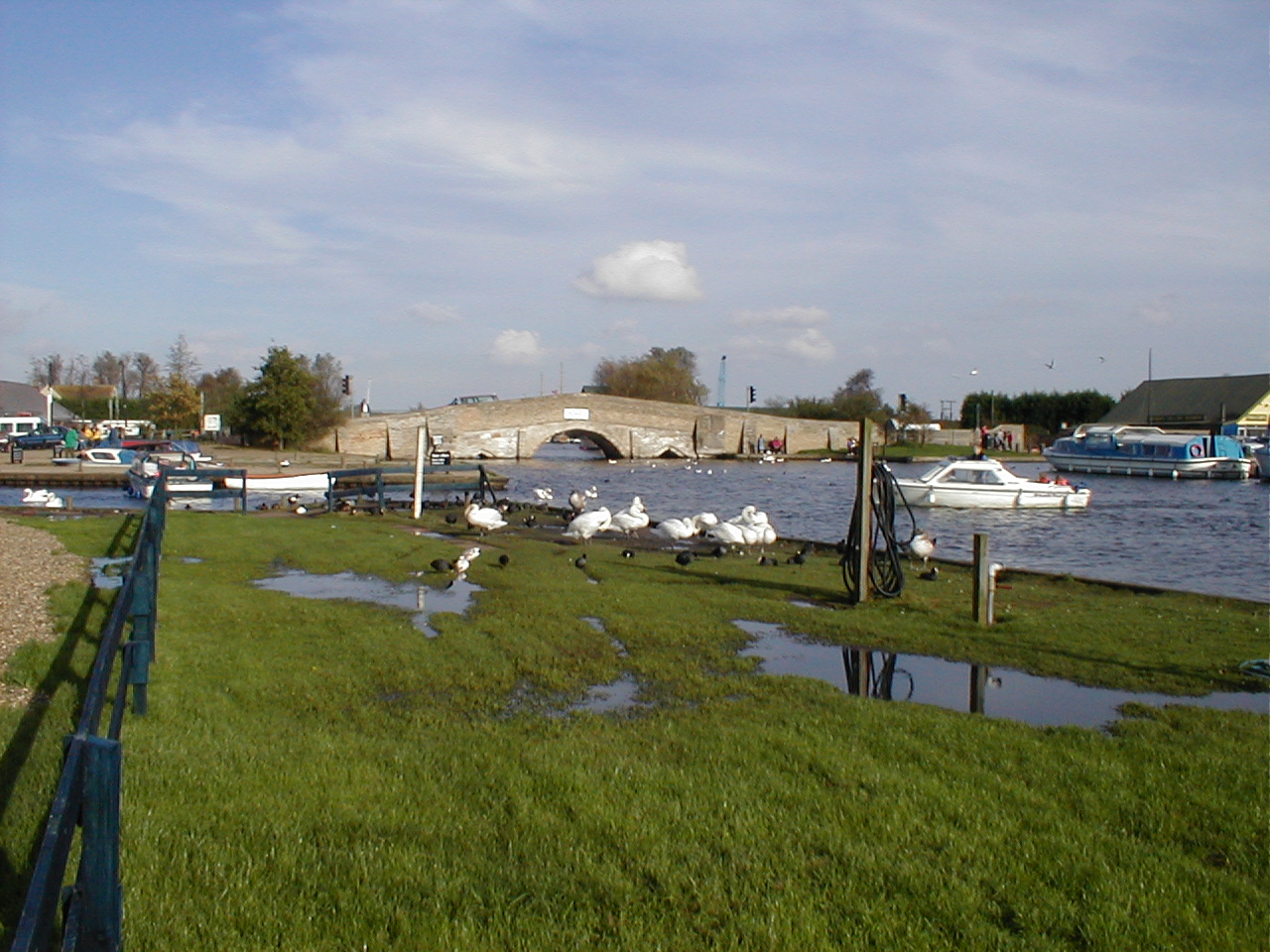
Potter Heigham
Potter Heigham is a village and civil parish on the River Thurne in the English county of Norfolk. It is situated 12 mi (19 km) north-east of the city...
Cess, Norfolk
Cess is a hamlet on the River Thurne in the southwestern part of the village of Martham, in Norfolk, England, within The Broads a member of the National...
Shallam Dyke Marshes, Thurne
Shallam Dyke Marshes, Thurne is a 69.8-hectare (172-acre) biological Site of Special Scientific Interest south-east of Norwich in Norfolk. It is part of...
Thurne
Thurne is a small village and civil parish in the English county of Norfolk. It is located on the River Thurne in The Broads, some 18 km (11 mi) west of...
Related Videos
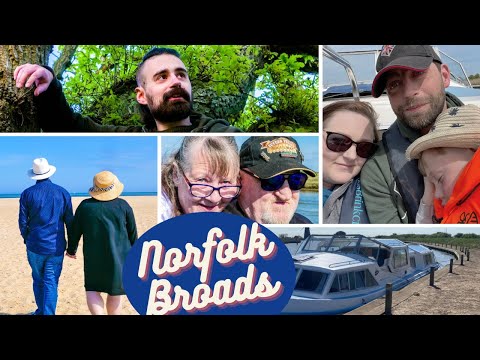
Norfolk Broads Boating Holiday part 1
A much needed holiday in a rental boat (Romany 2) on the Norfolk Broads in May 2022. A great time spent with family and friends ...
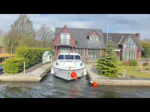
Norfolk Broads Holiday April 2023
Hired the Silver Solitaire for a week. Moored at Great Yarmouth, Horning, Salhouse, Ludham and How Hill. Went to How Hill's ...

Bond Island Mill #tourism #holidays #vlogmas
Please note that Sharon mentioned in the video is the caretaker of the Mill and not the owner*** Bond Island Mill #tourism ...

Repps With Bastwick Part Of The Norfolk Broads #holidays #boat #tourism
Hi everyone Today's video is from Repps With Bastwick Staithe and a walk behind the holiday properties along there. I just walked ...
Nearby Amenities
Located within 500m of 52.703913,1.585469Have you been to Bastwick?
Leave your review of Bastwick below (or comments, questions and feedback).