Baswich

Settlement in Staffordshire Stafford

England

Baswich

Milford Church Fete A true vision of little Britain, this picture was taken at the Church Garden Fete on a very warm day in June 2005
Milford Church Fete Credit: John Nickolls

Baswich is a small village located in Staffordshire, England. It is situated approximately 2 miles to the east of Stafford town center. The village lies on the A34 road, providing easy access to other towns and cities in the region.

Baswich is primarily a residential area, characterized by its picturesque countryside and charming rural atmosphere. The village is known for its well-preserved historic buildings, including several traditional cottages and farmhouses. Many of these structures date back to the 17th and 18th centuries, adding to the village's unique character.

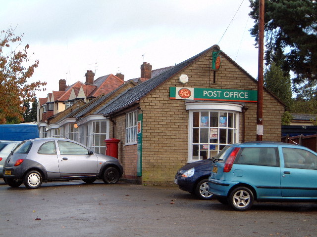
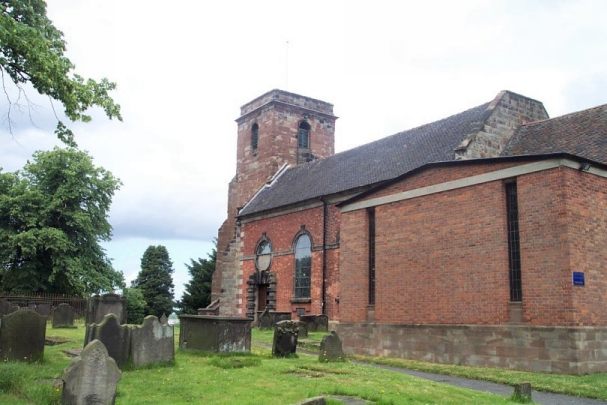
Despite its small size, Baswich offers a range of amenities and services to its residents. These include a local convenience store, a post office, a primary school, and a church. The village is also home to a number of small businesses, including cafes, restaurants, and shops, catering to the needs of both locals and visitors.

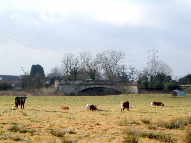
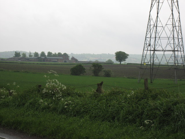
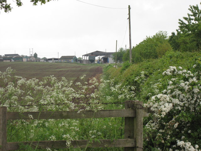
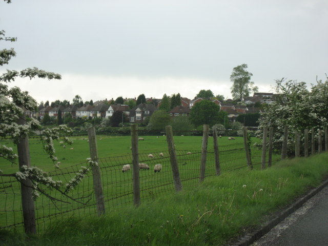
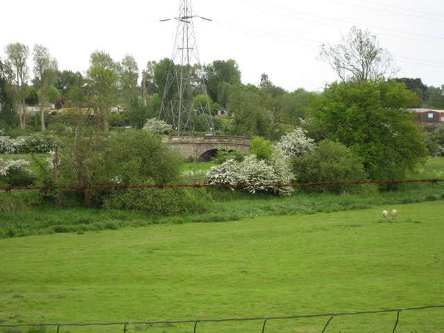
Surrounded by lush green fields and rolling hills, Baswich provides ample opportunities for outdoor activities. The village is in close proximity to the Staffordshire countryside, offering residents the chance to explore nature trails and enjoy scenic walks. Additionally, Baswich benefits from its proximity to Cannock Chase, an Area of Outstanding Natural Beauty, renowned for its diverse wildlife and recreational facilities.

Baswich's convenient location, combined with its peaceful ambiance and rich history, make it an attractive place to live for those seeking a tranquil rural lifestyle within easy reach of urban amenities.

If you have any feedback on the listing, please let us know in the comments section below.
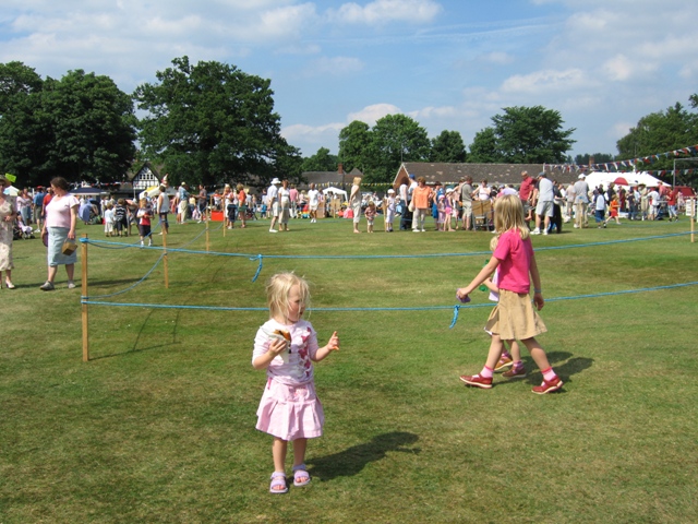
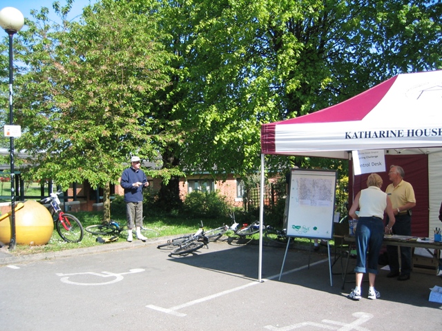
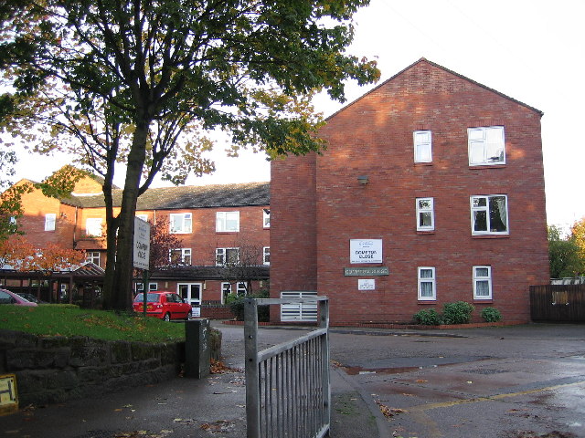
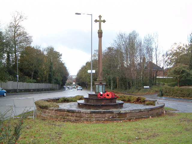
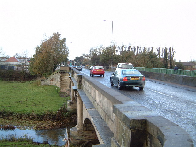
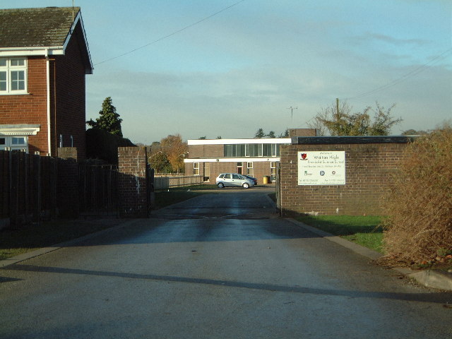
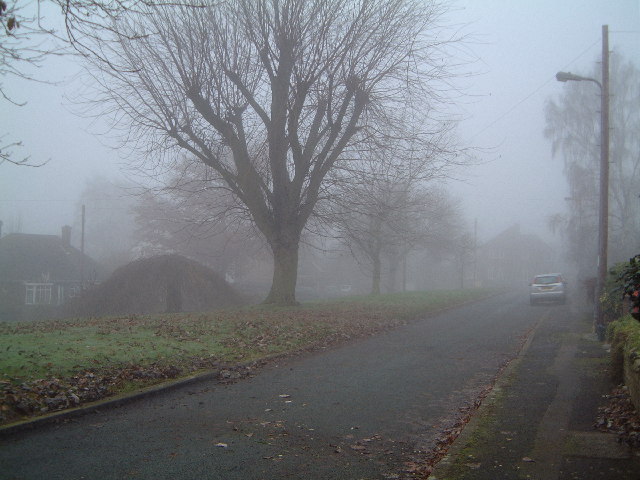
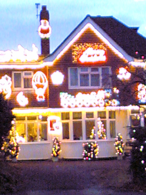
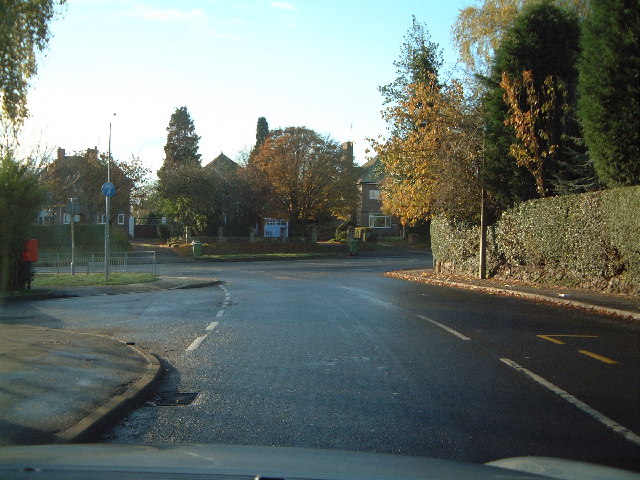
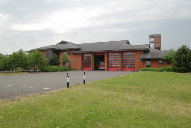
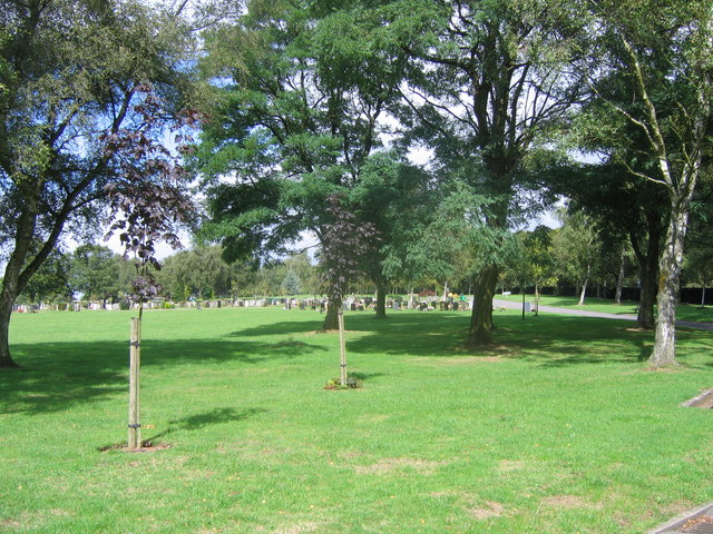
Baswich Images

Images are sourced within 2km of 52.798662/-2.078576 or Grid Reference SJ9422. Thanks to Geograph Open Source API. All images are credited.

Milford Church Fete A true vision of little Britain, this picture was taken at the Church Garden Fete on a very warm day in June 2005
Milford Church Fete
A true vision of little Britain, this picture was taken at the Church Garden Fete on a very warm day in June 2005
Katherine House Hospice Hospice in Stafford, preparing for charity bike ride.
Katherine House Hospice
Hospice in Stafford, preparing for charity bike ride.
Compton Close, near Stafford This development is one of many being used to fill in small unused spaces. It is not far from the large electrical works which used to be GEC.
Compton Close, near Stafford
This development is one of many being used to fill in small unused spaces. It is not far from the large electrical works which used to be GEC.
Post office Post office on the corner of Bridle Road & Cannock Road
Post office
Post office on the corner of Bridle Road & Cannock Road
War memorial War memorial at Weeping Cross looking down the A34 towards Stafford
War memorial
War memorial at Weeping Cross looking down the A34 towards Stafford
Bridge over the River Penk at Radford Bank A34 looking NW towards Stafford. The entire area is a flood plain and waters frequently reach the hedge in the distance.
Bridge over the River Penk at Radford Bank
A34 looking NW towards Stafford. The entire area is a flood plain and waters frequently reach the hedge in the distance.
Walton High School Walton School Old Croft Road
Walton High School
Walton School Old Croft Road
Island Green Christmas morning 2005 A dull foggy Christmas morning in Stafford taken at 10:40
Island Green Christmas morning 2005
A dull foggy Christmas morning in Stafford taken at 10:40
Santa's  Grotto Sorry a bit fuzzy, but I hope it falls into the spirit of Christmas Day submissions!
Santa's Grotto
Sorry a bit fuzzy, but I hope it falls into the spirit of Christmas Day submissions!
The north end of Stockton Lane Top of the road and turn left for Rugeley
The north end of Stockton Lane
Top of the road and turn left for Rugeley
Bridge over the River Penk , Baswich Road I believe this is one of Telford's bridges
Bridge over the River Penk , Baswich Road
I believe this is one of Telford's bridges
Holy Trinity, Baswich <span class="nowrap"><a title="http://www.achurchnearyou.com/berkswich-holy-trinity/" rel="nofollow ugc noopener" href="http://www.achurchnearyou.com/berkswich-holy-trinity/">Link</a><img style="margin-left:2px;" alt="External link" title="External link - shift click to open in new window" src="https://s1.geograph.org.uk/img/external.png" width="10" height="10"/></span>
Holy Trinity, Baswich
Brancote Farm On a rather poor day !
Brancote Farm
On a rather poor day !
Tixall Heath Farm From the side of its drive way
Tixall Heath Farm
From the side of its drive way
Looking across the fields to the Houses At the edge of Stafford
Looking across the fields to the Houses
At the edge of Stafford
Fields at St Thomas Looking towards the bridge over the Penk. In the Spring, on a wet day.
Fields at St Thomas
Looking towards the bridge over the Penk. In the Spring, on a wet day.
Stafford fire station Stafford fire station, Beaconside, Stafford, Staffordshire.
Stafford fire station
Stafford fire station, Beaconside, Stafford, Staffordshire.
Stafford Crematorium Stafford Crematorium
Stafford Crematorium
Show me another place!

Baswich is located at Grid Ref: SJ9422 (Lat: 52.798662, Lng: -2.078576)

Administrative County: Staffordshire

District: Stafford

Police Authority: Staffordshire

What 3 Words

///flies.thigh.yours. Near Stafford, Staffordshire

Nearby Locations

Baswich

Related Wikis

Baswich

Baswich is an estate on the south eastern side of Stafford, in the Stafford district, in the county of Staffordshire, England. Baswich amenities are a...

River Penk

The River Penk is a small river flowing through Staffordshire, England. Its course is mainly within South Staffordshire, and it drains most of the northern...

Priory of St. Thomas near Stafford

Priory of St. Thomas near Stafford was an Augustinian religious house near Stafford, Staffordshire, England. Founded sometime in approximately 1174, it...

Berkswich

Berkswich ( BAHK-switch) is a civil parish in the borough of Stafford in Staffordshire, England. According to the 2001 census it had a population of 1...

Walton High School, Stafford

Walton High School is a large mixed secondary school and sixth form serving a community in the southern part of Stafford, England.There are approximately...

Brocton F.C.

Brocton Football Club is a football club representing Brocton, near Stafford, England. They are currently members of the North West Counties League Division...

Walton-on-the-Hill, Staffordshire

Walton-on-the-Hill is a village in the Borough of Stafford in Staffordshire, England. It is about 5 km east of the centre of Stafford, and lies on the...

Weston Road Academy

The Weston Road Academy (formerly Weston Road High School) is an academy school in Stafford, England. It provides secondary and further education for pupils...

Nearby Amenities

Located within 500m of 52.798662,-2.078576
Junction: t_junction
Lat/Long: 52.7954205/-2.0835236
Junction: t_junction
Lat/Long: 52.8008529/-2.0814331
Junction: t_junction
Lat/Long: 52.7959108/-2.0835253
Junction: t_junction
Lat/Long: 52.7965569/-2.0835885
Junction: t_junction
Lat/Long: 52.7976261/-2.0836887
Junction: t_junction
Lat/Long: 52.7989448/-2.0831307
Mini Roundabout
Direction: clockwise
Source: survey
Lat/Long: 52.7995353/-2.0825021
Mini Roundabout
Direction: clockwise
Lat/Long: 52.8015267/-2.081303
Bus Stop
Holy Trinity Church
Bus: yes
Naptan AtcoCode: 3800C730601
Naptan Bearing: N
Naptan CommonName: Holy Trinity Church
Naptan Indicator: Adj
Naptan Landmark: Holy Trinity Church
Naptan PlusbusZoneRef: STAFFRD
Naptan Street: Baswich Lane
Naptan Verified: no
Public Transport: platform
Source: naptan_import
Lat/Long: 52.7978197/-2.0838431
Bus Stop
Bideford Avenue
Bus: yes
Naptan AtcoCode: 3800C748301
Naptan Bearing: SW
Naptan CommonName: Bideford Avenue
Naptan Indicator: Opp
Naptan Landmark: Bideford Ave
Naptan PlusbusZoneRef: STAFFRD
Naptan Street: Yelverton Ave
Naptan Verified: no
Public Transport: platform
Source: naptan_import
Lat/Long: 52.7949841/-2.0762147
Bus Stop
Crest
Bus: yes
Naptan AtcoCode: 3800C748501
Naptan Bearing: S
Naptan CommonName: Crest
Naptan Indicator: Adj
Naptan Landmark: Baswich Crest
Naptan PlusbusZoneRef: STAFFRD
Naptan Street: Compton Road
Naptan Verified: no
Public Transport: platform
Source: naptan_import
Lat/Long: 52.7971227/-2.0777461
Bus Stop
Burford Road
Bus: yes
Naptan AtcoCode: 3800C748601
Naptan Bearing: SE
Naptan CommonName: Burford Road
Naptan Indicator: Opp
Naptan Landmark: Burford Road
Naptan PlusbusZoneRef: STAFFRD
Naptan Street: Compton Road
Naptan Verified: no
Public Transport: platform
Source: naptan_import
Lat/Long: 52.7979035/-2.0796459
Bus Stop
Witney Road
Bus: yes
Naptan AtcoCode: 3800C748801
Naptan Bearing: SE
Naptan CommonName: Witney Road
Naptan Indicator: Adj
Naptan Landmark: Witney Rd
Naptan PlusbusZoneRef: STAFFRD
Naptan Street: Shipston Road
Naptan Verified: no
Public Transport: platform
Source: naptan_import
Lat/Long: 52.7987915/-2.0824953
Bus Stop
The Saltings Caravan Park
Bus: yes
Naptan AtcoCode: 3800C760801
Naptan Bearing: S
Naptan CommonName: The Saltings Caravan Park
Naptan Indicator: Adj
Naptan Landmark: The Saltings Caravan Park
Naptan PlusbusZoneRef: STAFFRD
Naptan Street: Baswich Lane
Naptan Verified: no
Public Transport: platform
Source: naptan_import
Lat/Long: 52.800932/-2.0812534
Turning Circle
Lat/Long: 52.7971303/-2.0788321
Noexit: yes
Lat/Long: 52.7999647/-2.0855541
Post Box
Post Box Type: lamp
Ref: ST17 453
Royal Cypher: EIIR
Royal Cypher Wikidata: Q33102113
Lat/Long: 52.800917/-2.0812464
Saxonfields
Power: substation
Ref: 63207
Lat/Long: 52.7971828/-2.0758459
Noexit: yes
Lat/Long: 52.8019287/-2.0799243
Post Box
Post Box Type: pillar
Ref: ST17 437
Royal Cypher: EIIR
Royal Cypher Wikidata: Q33102113
Lat/Long: 52.7965219/-2.0772803
Power: substation
Ref: MPAN 1460000431253 BAS/PWR/02
Lat/Long: 52.8006666/-2.0814703
Tilcon Ind Est
Power: substation
Ref: 45650
Lat/Long: 52.8011059/-2.0814318
Noexit: yes
Lat/Long: 52.7994112/-2.0820787
Power: tower
Source: Bing
Lat/Long: 52.8028132/-2.0796558
Noexit: yes
Lat/Long: 52.7993025/-2.0820446
Noexit: yes
Lat/Long: 52.7998659/-2.085463
Noexit: yes
Lat/Long: 52.8020162/-2.0828376
Noexit: yes
Lat/Long: 52.8019568/-2.0833504
Noexit: yes
Lat/Long: 52.8019921/-2.0831078
Generator Method: photovoltaic
Generator Output Electricity: yes
Generator Source: solar
Generator Type: solar_photovoltaic_panel
Location: roof
Power: generator
Lat/Long: 52.7956941/-2.0808256
Generator Method: photovoltaic
Generator Output Electricity: yes
Generator Source: solar
Generator Type: solar_photovoltaic_panel
Location: roof
Power: generator
Lat/Long: 52.7958595/-2.0775265
Generator Method: photovoltaic
Generator Output Electricity: yes
Generator Source: solar
Generator Type: solar_photovoltaic_panel
Location: roof
Power: generator
Lat/Long: 52.7961077/-2.0782265
Generator Method: photovoltaic
Generator Output Electricity: yes
Generator Source: solar
Generator Type: solar_photovoltaic_panel
Location: roof
Power: generator
Lat/Long: 52.7970483/-2.0774245
Generator Method: photovoltaic
Generator Output Electricity: yes
Generator Source: solar
Generator Type: solar_photovoltaic_panel
Location: roof
Power: generator
Lat/Long: 52.7968618/-2.0780736
Generator Method: photovoltaic
Generator Output Electricity: yes
Generator Source: solar
Generator Type: solar_photovoltaic_panel
Location: roof
Power: generator
Lat/Long: 52.7967174/-2.0821801
Generator Method: photovoltaic
Generator Output Electricity: yes
Generator Source: solar
Generator Type: solar_photovoltaic_panel
Location: roof
Power: generator
Lat/Long: 52.7969559/-2.0851412
Generator Method: photovoltaic
Generator Output Electricity: yes
Generator Source: solar
Generator Type: solar_photovoltaic_panel
Location: roof
Power: generator
Lat/Long: 52.797984/-2.0820621
Generator Method: photovoltaic
Generator Output Electricity: yes
Generator Source: solar
Generator Type: solar_photovoltaic_panel
Location: roof
Power: generator
Lat/Long: 52.7971926/-2.0850715
Generator Method: photovoltaic
Generator Output Electricity: yes
Generator Source: solar
Generator Type: solar_photovoltaic_panel
Location: roof
Power: generator
Lat/Long: 52.7977473/-2.0857689
Generator Method: photovoltaic
Generator Output Electricity: yes
Generator Source: solar
Generator Type: solar_photovoltaic_panel
Location: roof
Power: generator
Lat/Long: 52.7977538/-2.0856938
Generator Method: photovoltaic
Generator Output Electricity: yes
Generator Source: solar
Generator Type: solar_photovoltaic_panel
Location: roof
Power: generator
Lat/Long: 52.7977732/-2.0855436
Generator Method: photovoltaic
Generator Output Electricity: yes
Generator Source: solar
Generator Type: solar_photovoltaic_panel
Location: roof
Power: generator
Lat/Long: 52.7993025/-2.0838591
Generator Method: photovoltaic
Generator Output Electricity: yes
Generator Source: solar
Generator Type: solar_photovoltaic_panel
Location: roof
Power: generator
Lat/Long: 52.7996366/-2.0852914
Generator Method: photovoltaic
Generator Output Electricity: yes
Generator Source: solar
Generator Type: solar_photovoltaic_panel
Location: roof
Power: generator
Lat/Long: 52.7976192/-2.0782909
Noexit: yes
Lat/Long: 52.8021141/-2.0819959
Defibrillator
Defibrillator Location: outside Co-op, Baswich Lane, Weeping Cross
Emergency: defibrillator
Indoor: no
Ref GB The Circuit: 824C1DD8-E092-46F5-AC08-AB0500EBCE6D
Lat/Long: 52.7978185/-2.0843459
Noexit: yes
Lat/Long: 52.7988881/-2.0849548
Noexit: yes
Lat/Long: 52.799103/-2.0841675
Give Way
Direction: forward
Lat/Long: 52.7984275/-2.083587
Noexit: yes
Lat/Long: 52.8021145/-2.0814429
Give Way
Direction: forward
Lat/Long: 52.8008358/-2.0813614
The data included in this document is from www.openstreetmap.org. The data is made available under ODbL.

Have you been to Baswich?

Leave your review of Baswich below (or comments, questions and feedback).