Little Ryburgh

Settlement in Norfolk North Norfolk

England

Little Ryburgh

The 'Kingfisher Bridge', Pensthorpe Natural Park
The 'Kingfisher Bridge', Pensthorpe Natural Park Credit: Nigel Thompson

Little Ryburgh is a small village located in the county of Norfolk, in the eastern part of England. It is situated approximately 12 miles northwest of the town of Fakenham and about 25 miles north of the city of Norwich.

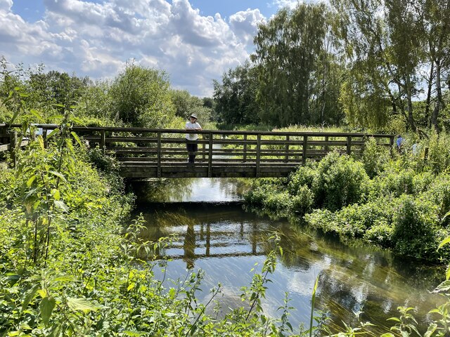
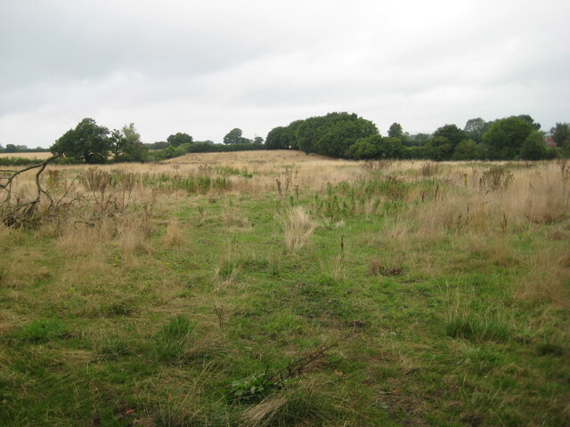
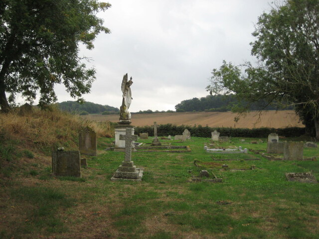
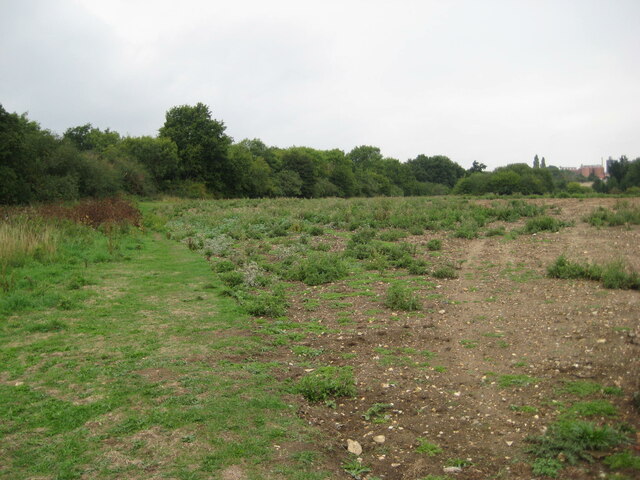
The village is nestled in a picturesque rural setting, surrounded by rolling countryside and farmland. It is part of the civil parish of Ryburgh, along with its larger neighboring village, Great Ryburgh. The River Wensum flows close by, adding to the scenic charm of the area.

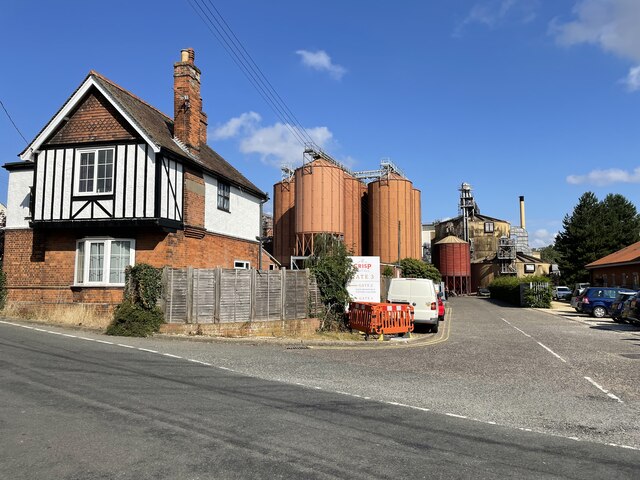
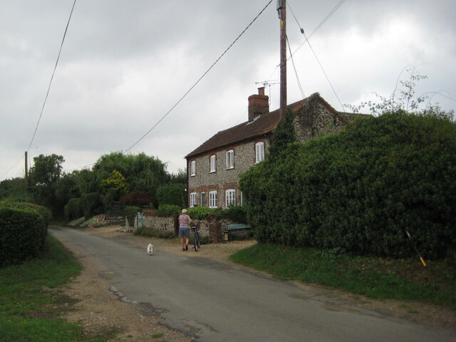
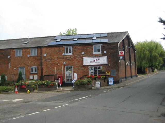
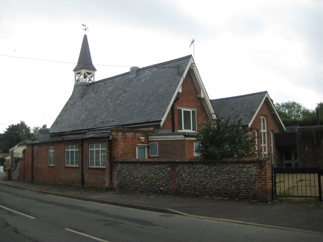
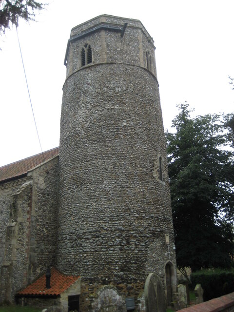
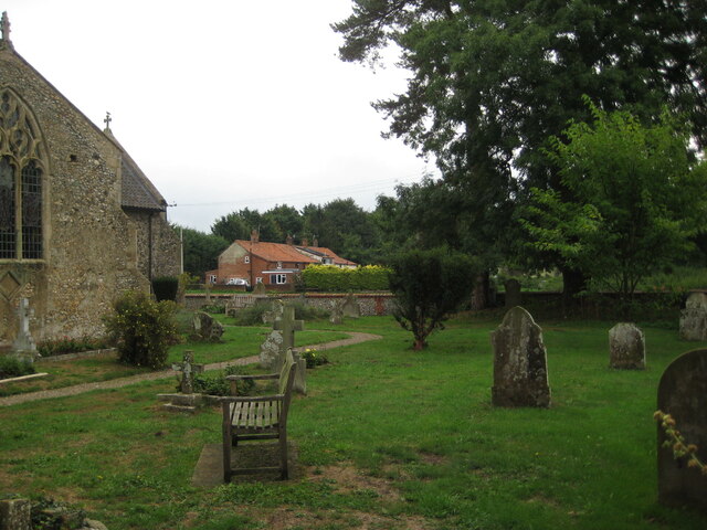
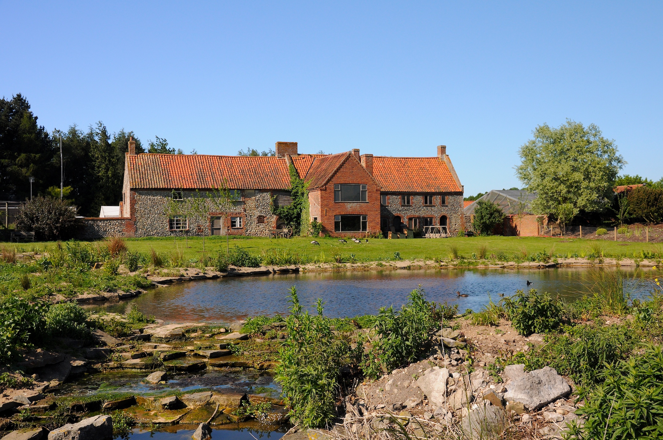
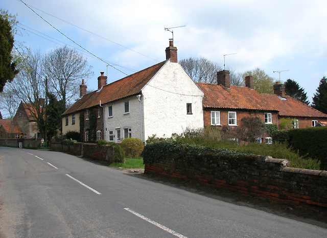
Little Ryburgh is known for its quaint and peaceful atmosphere, with a population of around 200 residents. The village is characterized by a collection of traditional brick and flint cottages, some of which date back to the 17th century. The Holy Trinity Church, a beautiful medieval building, is a prominent feature in the village and serves as a focal point for the community.

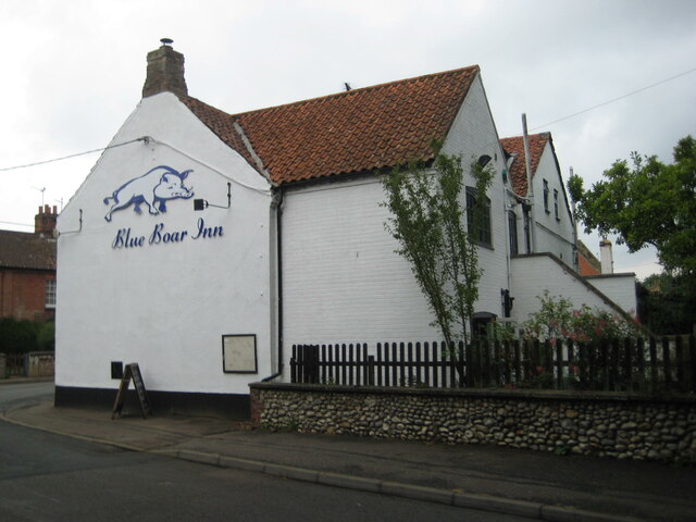
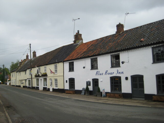
Although small in size, Little Ryburgh offers a range of amenities for its residents and visitors. These include a village hall, a local pub, and a primary school. The surrounding countryside provides ample opportunities for outdoor activities such as walking, cycling, and birdwatching.

Overall, Little Ryburgh is a charming and idyllic village, providing a peaceful retreat from the hustle and bustle of larger towns and cities. Its rich history and scenic surroundings make it an attractive destination for those seeking a taste of traditional English village life.

If you have any feedback on the listing, please let us know in the comments section below.

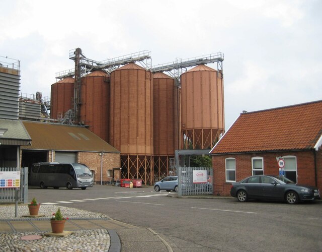
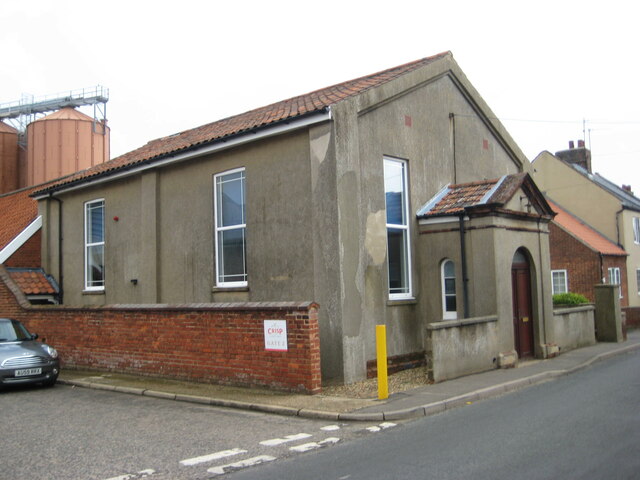
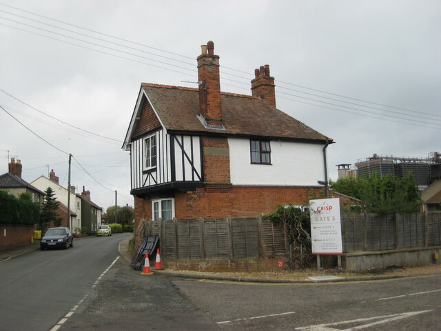
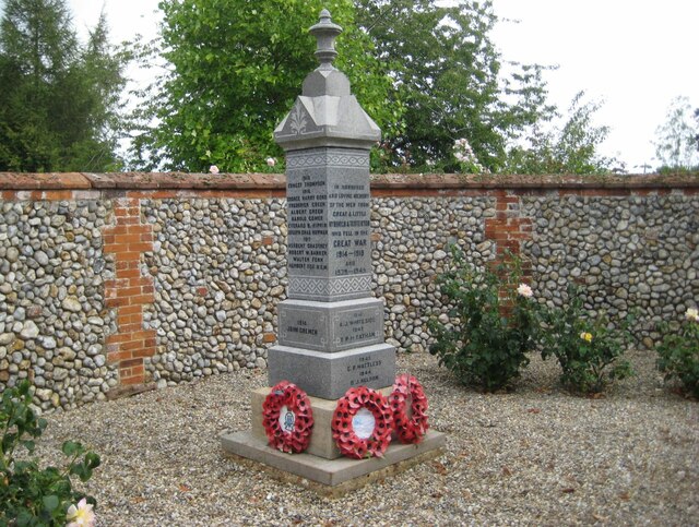
Little Ryburgh Images

Images are sourced within 2km of 52.813638/0.916562 or Grid Reference TF9628. Thanks to Geograph Open Source API. All images are credited.

The 'Kingfisher Bridge', Pensthorpe Natural Park
Ryburgh railway station (site), Norfolk Opened in 1849 by the Eastern Counties Railway, later part of the Great Eastern Railway, on the line from Wymondham to Wells, this station closed to passengers in 1964. Goods trains carried on until around 1980 after which the track was lifted.
View north west from the former level crossing towards the single platform, a short length of which survives to the left of the white van. The building to the left was the Station Master's house. As can be seen, the maltings in the background have extended across the track-bed.
Ryburgh railway station (site), Norfolk
Opened in 1849 by the Eastern Counties Railway, later part of the Great Eastern Railway, on the line from Wymondham to Wells, this station closed to passengers in 1964. Goods trains carried on until around 1980 after which the track was lifted. View north west from the former level crossing towards the single platform, a short length of which survives to the left of the white van. The building to the left was the Station Master's house. As can be seen, the maltings in the background have extended across the track-bed.
Cottages, Clay Hill, Little Ryburgh
Byway to West Wood Farm
Abandoned field, Great Ryburgh
Crisp Maltings, Great Ryburgh
Former chapel, Great Ryburgh
Former station house, Great Ryburgh The main buildings of Ryburgh station were bombed out in 1942.
Former station house, Great Ryburgh
The main buildings of Ryburgh station were bombed out in 1942.
War Memorial, Great Ryburgh Listed Grade II <span class="nowrap"><a title="https://historicengland.org.uk/listing/the-list/list-entry/1452673?section=official-list-entry" rel="nofollow ugc noopener" href="https://historicengland.org.uk/listing/the-list/list-entry/1452673?section=official-list-entry">Link</a><img style="margin-left:2px;" alt="External link" title="External link - shift click to open in new window" src="https://s1.geograph.org.uk/img/external.png" width="10" height="10"/></span>
War Memorial, Great Ryburgh
Listed Grade II LinkExternal link
Ryburgh Village Stores
The Old School, Great Ryburgh
The Blue Boar Inn, Great Ryburgh Eighteenth century inn <span class="nowrap"><a title="https://historicengland.org.uk/listing/the-list/list-entry/1049299?section=official-list-entry" rel="nofollow ugc noopener" href="https://historicengland.org.uk/listing/the-list/list-entry/1049299?section=official-list-entry">Link</a><img style="margin-left:2px;" alt="External link" title="External link - shift click to open in new window" src="https://s1.geograph.org.uk/img/external.png" width="10" height="10"/></span>
The Blue Boar Inn, Great Ryburgh
Eighteenth century inn LinkExternal link
Station Road, Great Ryburgh The Blue Boar Inn dates from the eighteenth century <span class="nowrap"><a title="https://historicengland.org.uk/listing/the-list/list-entry/1049299?section=official-list-entry" rel="nofollow ugc noopener" href="https://historicengland.org.uk/listing/the-list/list-entry/1049299?section=official-list-entry">Link</a><img style="margin-left:2px;" alt="External link" title="External link - shift click to open in new window" src="https://s1.geograph.org.uk/img/external.png" width="10" height="10"/></span> The house adjacent is a century or so older <span class="nowrap"><a title="https://historicengland.org.uk/listing/the-list/list-entry/1305345?section=official-list-entry" rel="nofollow ugc noopener" href="https://historicengland.org.uk/listing/the-list/list-entry/1305345?section=official-list-entry">Link</a><img style="margin-left:2px;" alt="External link" title="External link - shift click to open in new window" src="https://s1.geograph.org.uk/img/external.png" width="10" height="10"/></span>
Station Road, Great Ryburgh
The Blue Boar Inn dates from the eighteenth century LinkExternal link The house adjacent is a century or so older LinkExternal link
Round tower, St Andrew's church, Great Ryburgh The tower dates from about 1100 with the octagonal upper part of about 1300 <span class="nowrap"><a title="https://historicengland.org.uk/listing/the-list/list-entry/1305377?section=official-list-entry" rel="nofollow ugc noopener" href="https://historicengland.org.uk/listing/the-list/list-entry/1305377?section=official-list-entry">Link</a><img style="margin-left:2px;" alt="External link" title="External link - shift click to open in new window" src="https://s1.geograph.org.uk/img/external.png" width="10" height="10"/></span>
Round tower, St Andrew's church, Great Ryburgh
The tower dates from about 1100 with the octagonal upper part of about 1300 LinkExternal link
The churchyard, Great Ryburgh
The churchyard, Little Ryburgh
Remains of the church, Little Ryburgh There is little of the former church of All Saints that can be identified <span class="nowrap"><a title="https://historicengland.org.uk/listing/the-list/list-entry/1049267?section=official-list-entry" rel="nofollow ugc noopener" href="https://historicengland.org.uk/listing/the-list/list-entry/1049267?section=official-list-entry">Link</a><img style="margin-left:2px;" alt="External link" title="External link - shift click to open in new window" src="https://s1.geograph.org.uk/img/external.png" width="10" height="10"/></span>
Remains of the church, Little Ryburgh
There is little of the former church of All Saints that can be identified LinkExternal link
Course of the old railway The line of bushes and trees marks the course of the former railway from Wymondham to Wells nect the Sea.
Course of the old railway
The line of bushes and trees marks the course of the former railway from Wymondham to Wells nect the Sea.
Show me another place!

Little Ryburgh is located at Grid Ref: TF9628 (Lat: 52.813638, Lng: 0.916562)

Administrative County: Norfolk

District: North Norfolk

Police Authority: Norfolk

What 3 Words

///weedy.dabbled.sandpaper. Near Fakenham, Norfolk

Related Wikis

Ryburgh

Ryburgh is a civil parish in the English county of Norfolk. The parish is 21.2 miles (34.1 km) south-west of Cromer, 23.1 miles (37.2 km) north-west of...

Stibbard

Stibbard is a village and civil parish in the English county of Norfolk. The village is 19.3 miles (31.1 km) south-west of Cromer, 21.2 miles (34.1 km...

Ryburgh railway station

Ryburgh railway station was a railway station in the village of Great Ryburgh in the English county of Norfolk. == History == The station opened in 1849...

Great Ryburgh

Great Ryburgh is a village and former civil parish, now in the parish of Ryburgh, in the North Norfolk district, in the county of Norfolk, England. In...

Pensthorpe Natural Park

Pensthorpe Natural Park is located in Pensthorpe, Norfolk, England and is approximately one mile from Fakenham and close to the A1067 road. The park covers...

Sennowe Hall

Sennowe Hall (also known as Sennowe Park) is a large country house and estate located near the village of Guist in Norfolk, England. The clock tower, the...

Testerton

Testerton is a small village and former civil parish, now in the parish of Pudding Norton, in the North Norfolk district, in the county of Norfolk, England...

B1110 road

The B1110 runs for about 19 miles (31 km) between Holt and Dereham, and is entirely within the county of Norfolk. The road is a link between the A148 and...

Nearby Amenities

Located within 500m of 52.813638,0.916562
Little Ryburgh
Created By: POI Editor
Place: village
Source: npe
Lat/Long: 52.815727/0.918405
Post Box
Post Box Type: lamp
Royal Cypher: EIIR
Lat/Long: 52.8153863/0.9176986
Telephone
Booth: K6
Covered: booth
Lat/Long: 52.8153164/0.9177358
Power: pole
Lat/Long: 52.8119493/0.9115225
Power: pole
Lat/Long: 52.8125647/0.9115544
Power: pole
Lat/Long: 52.8132519/0.9115929
Power: pole
Lat/Long: 52.8140874/0.9116405
Power: pole
Lat/Long: 52.8148942/0.9116841
Power: pole
Lat/Long: 52.8156904/0.9117254
Power: pole
Lat/Long: 52.816648/0.9117785
Power: pole
Lat/Long: 52.8123178/0.9140512
Power: pole
Lat/Long: 52.8125513/0.9152502
Power: pole
Lat/Long: 52.8127572/0.9165966
Power: pole
Lat/Long: 52.8129436/0.9177232
Power: pole
Lat/Long: 52.8121038/0.9126779
Power: pole
Lat/Long: 52.811945/0.9115192
Power: pole
Lat/Long: 52.8117083/0.9101164
All Saints
Abandoned Amenity: place_of_worship
Denomination: anglican
Historic: ruins
Listed Status: Grade II
Material: stone
Religion: christian
Ruins: church
Website: http://www.heritage.norfolk.gov.uk/record-details?MNF7155
Wikidata: Q26301306
Lat/Long: 52.8105604/0.9180638
Power: pole
Lat/Long: 52.8138434/0.9231788
Power: pole
Lat/Long: 52.8136245/0.9217411
Power: pole
Lat/Long: 52.8133878/0.9202927
Power: pole
Lat/Long: 52.8131998/0.9190857
The data included in this document is from www.openstreetmap.org. The data is made available under ODbL.

Have you been to Little Ryburgh?

Leave your review of Little Ryburgh below (or comments, questions and feedback).