Burrow Hill
Hill, Mountain in Norfolk North Norfolk
England
Burrow Hill
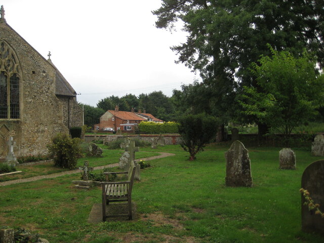
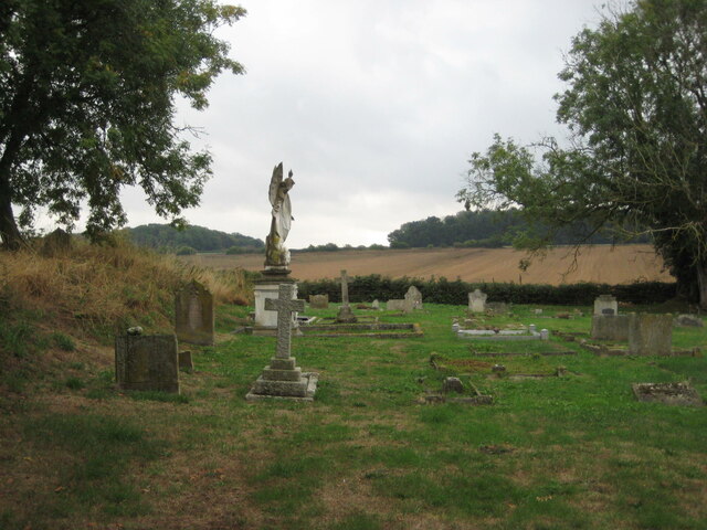
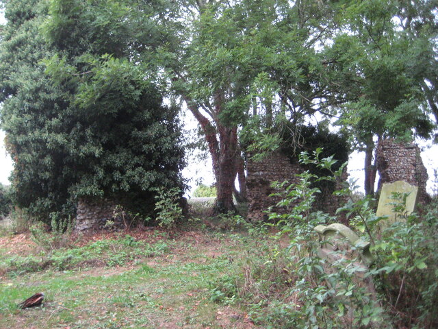
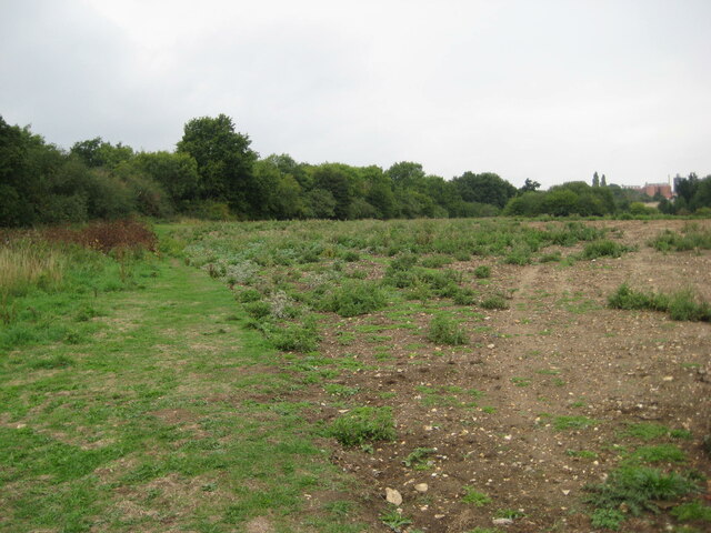
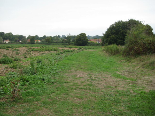
Burrow Hill, located in the county of Norfolk, England, is a prominent natural landmark that stands out amidst the flat landscape of the surrounding area. Despite its name, Burrow Hill is not actually a hill or a mountain in the traditional sense, but rather a large mound or tumulus.
This ancient burial mound is believed to date back to the Bronze Age, around 4,000 years ago. It is one of several such burial mounds in Norfolk, evidence of the region's rich archaeological history. The mound itself is approximately 7 meters high and 50 meters in diameter, making it a noticeable feature in the otherwise flat countryside.
Surrounded by lush farmland, Burrow Hill offers stunning panoramic views of the Norfolk countryside from its summit. On a clear day, visitors can see for miles around, with rolling fields and picturesque villages dotting the landscape.
The site has attracted interest from archaeologists and history enthusiasts due to its historical significance. Excavations in the past have uncovered various artifacts and remains, shedding light on the burial practices and rituals of the ancient inhabitants of Norfolk.
Today, Burrow Hill is a popular destination for walkers, hikers, and nature enthusiasts. It offers a peaceful and serene environment, allowing visitors to connect with nature and appreciate the area's unique geological features. The site is also of educational value, providing an opportunity to learn about the region's ancient past and the people who lived here long ago.
If you have any feedback on the listing, please let us know in the comments section below.
Burrow Hill Images
Images are sourced within 2km of 52.818417/0.92085331 or Grid Reference TF9628. Thanks to Geograph Open Source API. All images are credited.
Burrow Hill is located at Grid Ref: TF9628 (Lat: 52.818417, Lng: 0.92085331)
Administrative County: Norfolk
District: North Norfolk
Police Authority: Norfolk
What 3 Words
///amazed.obligated.deposits. Near Fakenham, Norfolk
Nearby Locations
Related Wikis

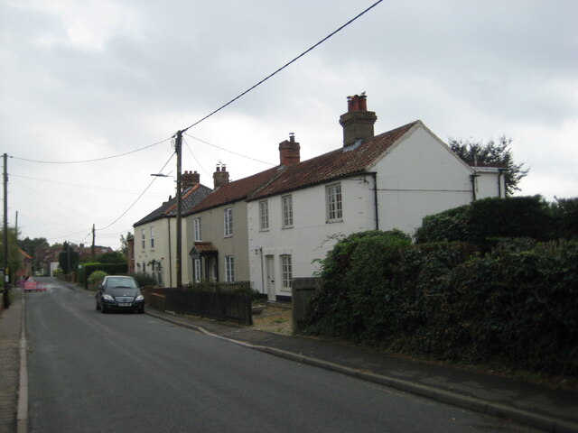
Stibbard
Stibbard is a village and civil parish in the English county of Norfolk. The village is 19.3 miles (31.1 km) south-west of Cromer, 21.2 miles (34.1 km...

Ryburgh
Ryburgh is a civil parish in the English county of Norfolk. The parish is 21.2 miles (34.1 km) south-west of Cromer, 23.1 miles (37.2 km) north-west of...

Ryburgh railway station
Ryburgh railway station was a railway station in the village of Great Ryburgh in the English county of Norfolk. == History == The station opened in 1849...

Great Ryburgh
Great Ryburgh is a village and former civil parish, now in the parish of Ryburgh, in the North Norfolk district, in the county of Norfolk, England. In...
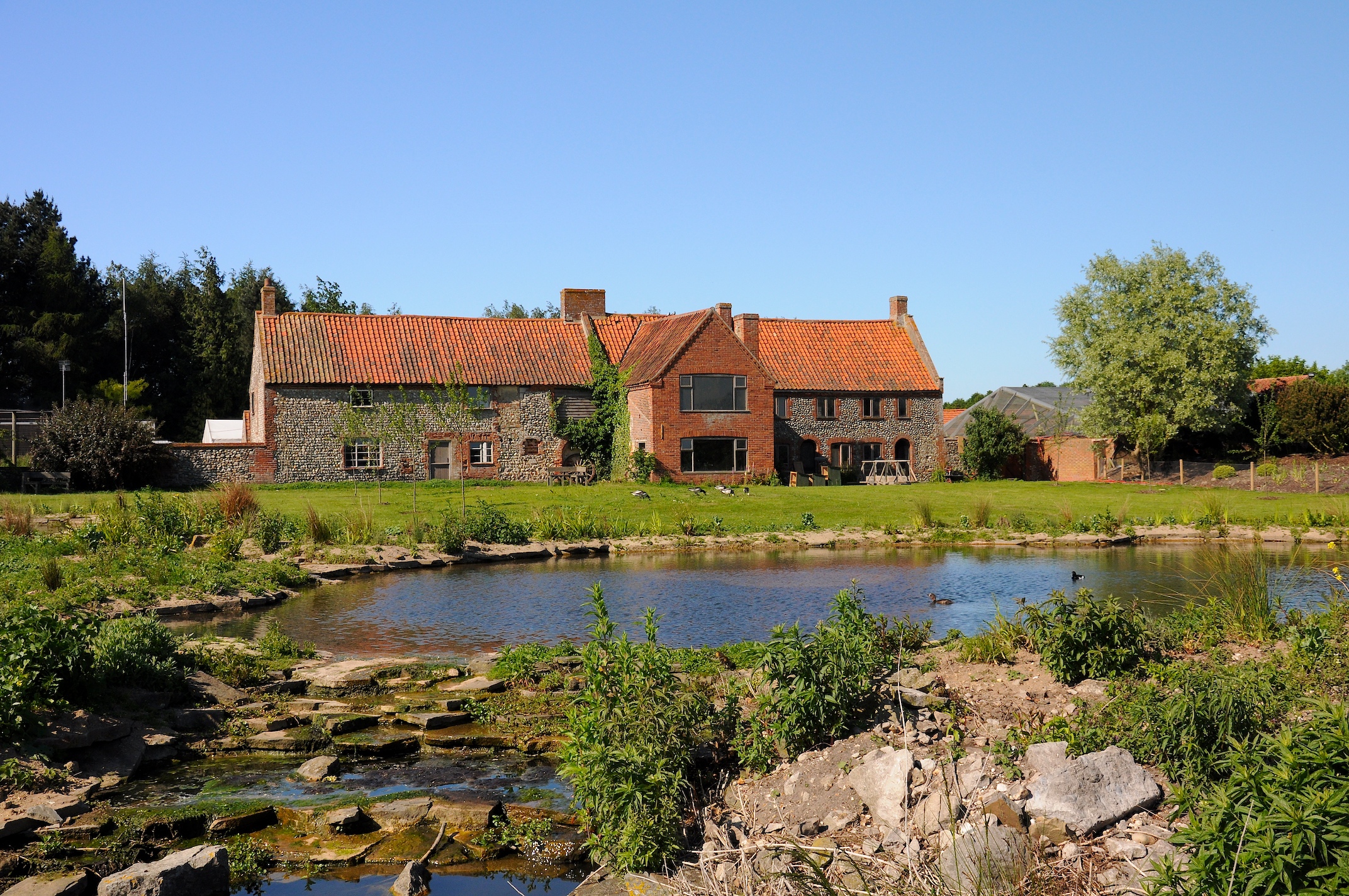
Pensthorpe Natural Park
Pensthorpe Natural Park is located in Pensthorpe, Norfolk, England and is approximately one mile from Fakenham and close to the A1067 road. The park covers...
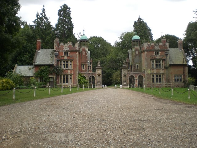
Sennowe Hall
Sennowe Hall (also known as Sennowe Park) is a large country house and estate located near the village of Guist in Norfolk, England. The clock tower, the...

Kettlestone
Kettlestone is a village and civil parish in the English county of Norfolk. It covers an area of 7.55 km2 (2.92 sq mi) and had a population of 177 in 85...

Alethorpe
Alethorpe is a deserted medieval village site and former civil parish, now in the parish of Little Snoring, in the North Norfolk district, in the county...
Nearby Amenities
Located within 500m of 52.818417,0.92085331Have you been to Burrow Hill?
Leave your review of Burrow Hill below (or comments, questions and feedback).