Coke's Hill

Hill, Mountain in Norfolk North Norfolk

England

Coke's Hill

The Millennium Garden, Pensthorpe Natural Park
The Millennium Garden, Pensthorpe Natural Park Credit: Nigel Thompson

Coke's Hill is a prominent natural landmark located in Norfolk, England. Standing at an elevation of approximately 70 meters, it is often referred to as both a hill and a mountain due to its distinctive height compared to the surrounding flat landscape. The hill is situated near the village of North Elmham, a few miles north of Dereham.

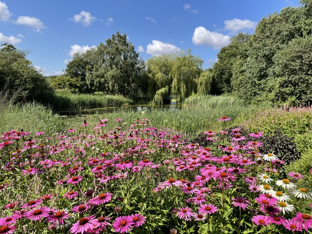
Coke's Hill is renowned for its picturesque views and scenic beauty. From its summit, visitors can enjoy panoramic vistas of the surrounding countryside, including rolling green fields, woodlands, and nearby villages. On a clear day, it is even possible to catch a glimpse of the North Sea in the distance.

This geological formation is predominantly composed of chalk, a soft, white sedimentary rock. The hill's chalky composition is a result of millions of years of geological processes, including the deposition and compaction of marine organisms such as the microscopic algae coccolithophores.

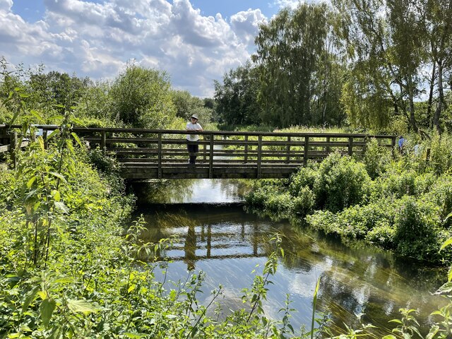
The hill has become a popular destination for outdoor enthusiasts, hikers, and nature lovers. It offers various walking trails and paths, allowing visitors to explore its slopes and take in the breathtaking views. Additionally, the area around Coke's Hill is home to a diverse range of flora and fauna, including wildflowers, birds, and small mammals.

Coke's Hill is not only a natural attraction but also holds historical significance. Nearby, archaeological excavations have uncovered remnants of a Roman settlement, indicating human activity in the area dating back centuries. This adds an extra layer of interest and intrigue for those visiting the hill.

Overall, Coke's Hill is a remarkable natural feature that combines stunning scenery, geological wonders, and a touch of history, making it a must-visit destination for anyone exploring the Norfolk region.

If you have any feedback on the listing, please let us know in the comments section below.
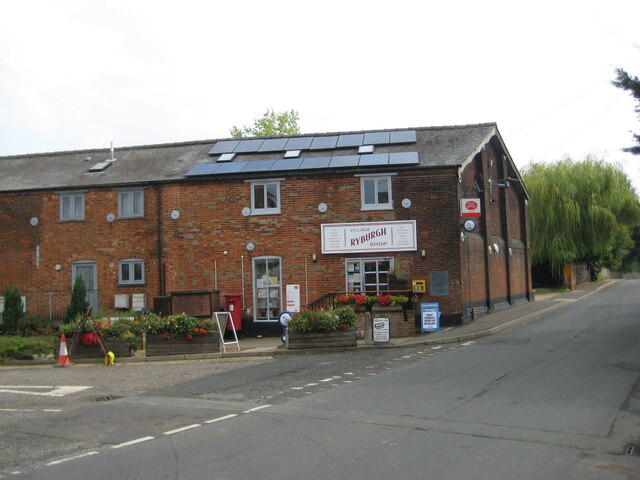
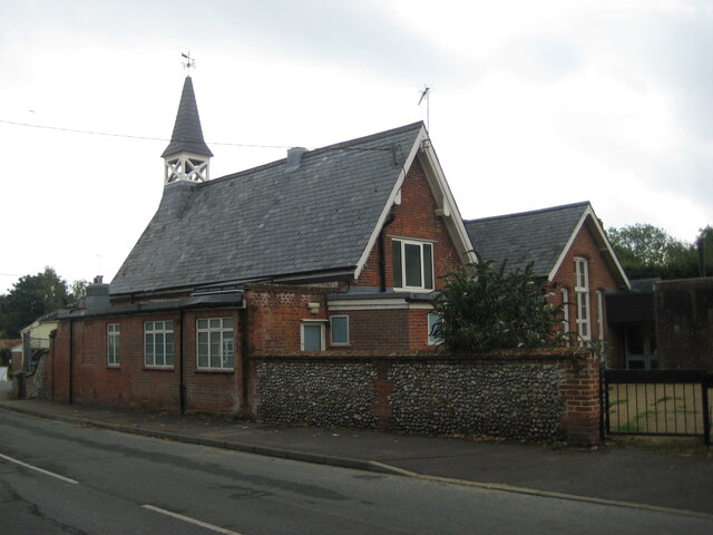
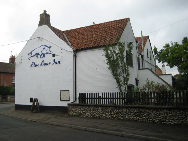
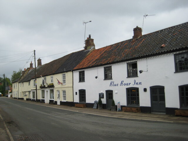
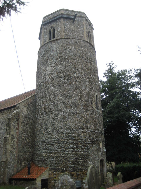
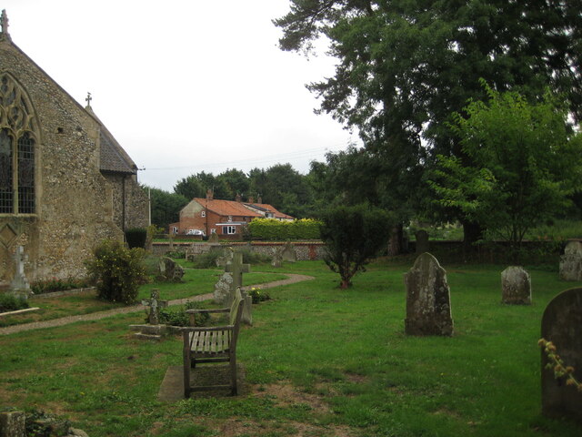
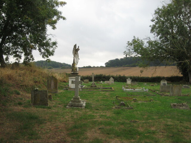
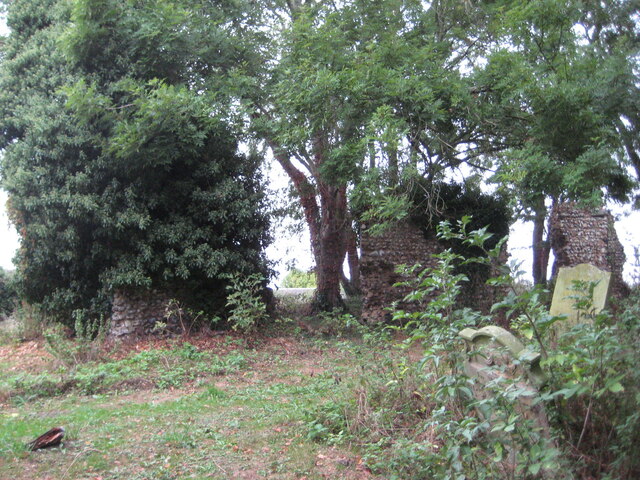
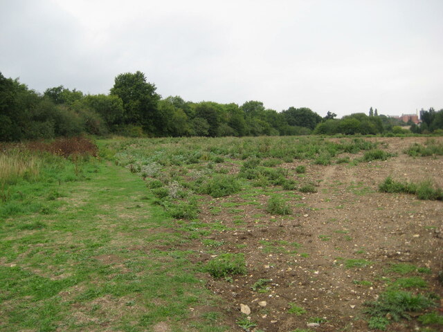
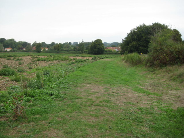
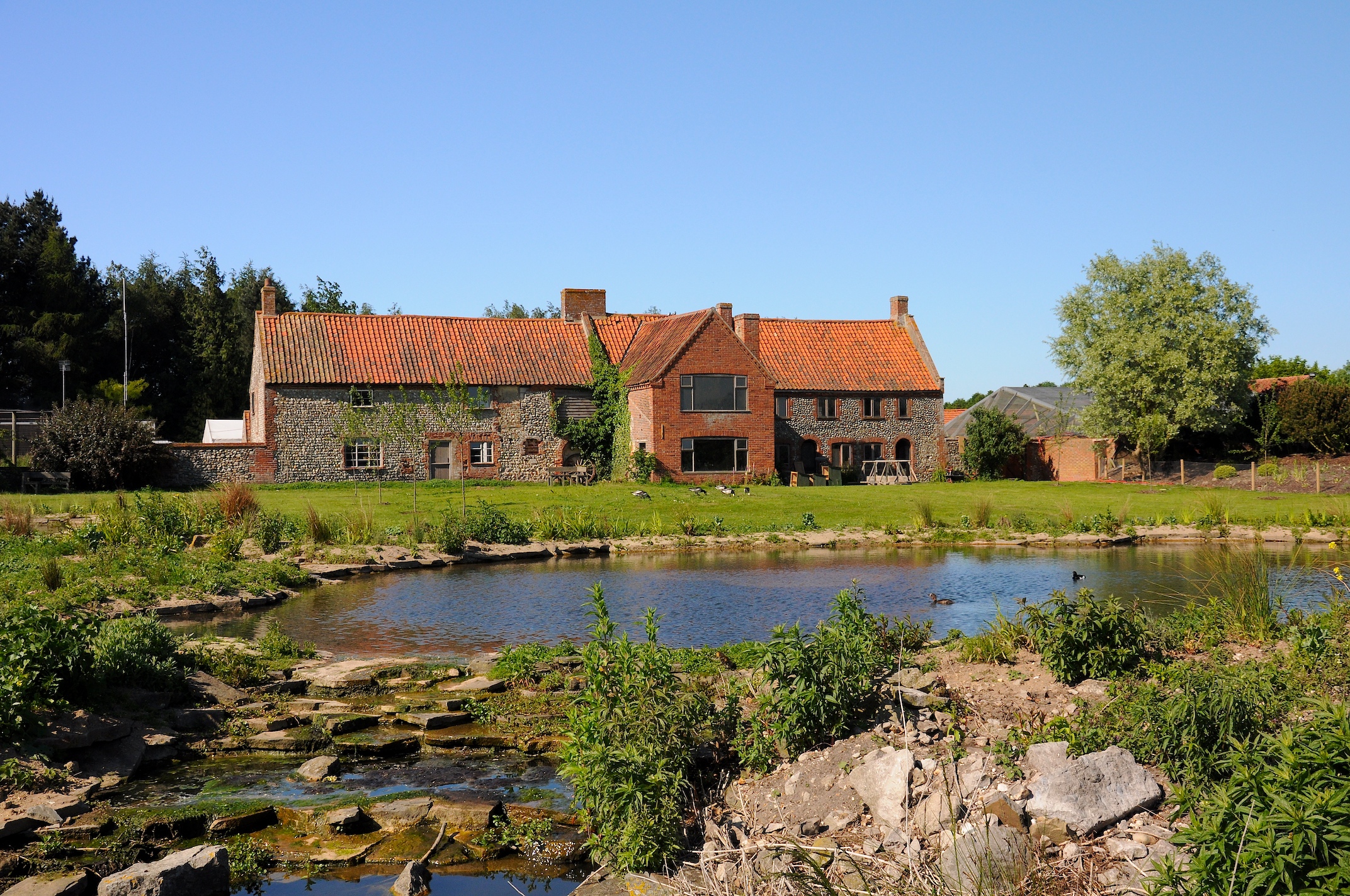
Coke's Hill Images

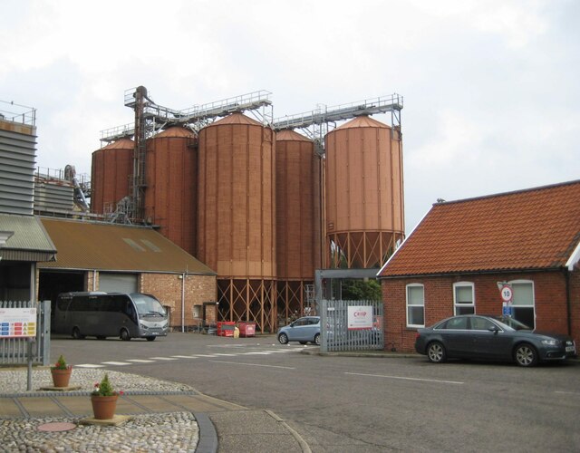
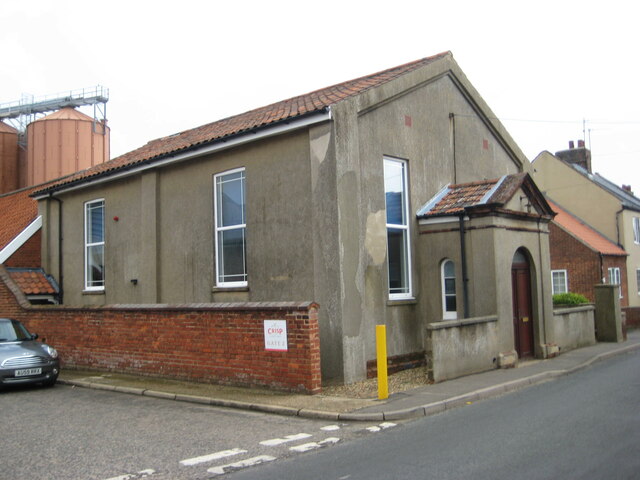
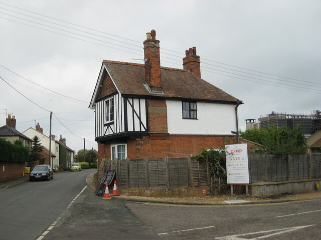
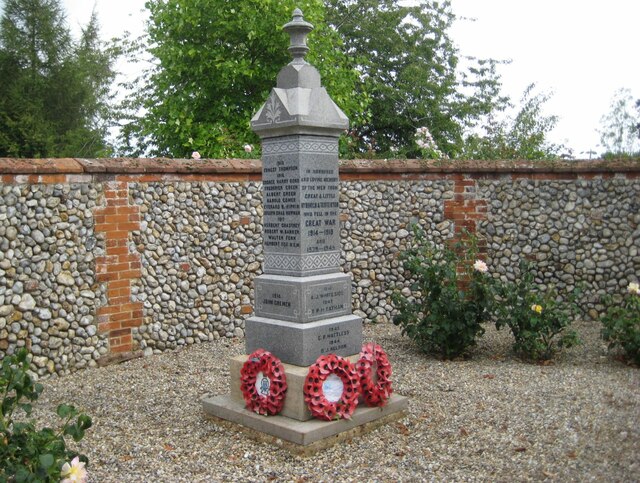
Images are sourced within 2km of 52.821437/0.91065005 or Grid Reference TF9628. Thanks to Geograph Open Source API. All images are credited.

The Millennium Garden, Pensthorpe Natural Park
The 'Kingfisher Bridge', Pensthorpe Natural Park
Ryburgh railway station (site), Norfolk Opened in 1849 by the Eastern Counties Railway, later part of the Great Eastern Railway, on the line from Wymondham to Wells, this station closed to passengers in 1964. Goods trains carried on until around 1980 after which the track was lifted.
View north west from the former level crossing towards the single platform, a short length of which survives to the left of the white van. The building to the left was the Station Master's house. As can be seen, the maltings in the background have extended across the track-bed.
Ryburgh railway station (site), Norfolk
Opened in 1849 by the Eastern Counties Railway, later part of the Great Eastern Railway, on the line from Wymondham to Wells, this station closed to passengers in 1964. Goods trains carried on until around 1980 after which the track was lifted. View north west from the former level crossing towards the single platform, a short length of which survives to the left of the white van. The building to the left was the Station Master's house. As can be seen, the maltings in the background have extended across the track-bed.
Cottages, Clay Hill, Little Ryburgh
Crisp Maltings, Great Ryburgh
Former chapel, Great Ryburgh
Former station house, Great Ryburgh The main buildings of Ryburgh station were bombed out in 1942.
Former station house, Great Ryburgh
The main buildings of Ryburgh station were bombed out in 1942.
War Memorial, Great Ryburgh Listed Grade II <span class="nowrap"><a title="https://historicengland.org.uk/listing/the-list/list-entry/1452673?section=official-list-entry" rel="nofollow ugc noopener" href="https://historicengland.org.uk/listing/the-list/list-entry/1452673?section=official-list-entry">Link</a><img style="margin-left:2px;" alt="External link" title="External link - shift click to open in new window" src="https://s1.geograph.org.uk/img/external.png" width="10" height="10"/></span>
War Memorial, Great Ryburgh
Listed Grade II LinkExternal link
Ryburgh Village Stores
The Old School, Great Ryburgh
The Blue Boar Inn, Great Ryburgh Eighteenth century inn <span class="nowrap"><a title="https://historicengland.org.uk/listing/the-list/list-entry/1049299?section=official-list-entry" rel="nofollow ugc noopener" href="https://historicengland.org.uk/listing/the-list/list-entry/1049299?section=official-list-entry">Link</a><img style="margin-left:2px;" alt="External link" title="External link - shift click to open in new window" src="https://s1.geograph.org.uk/img/external.png" width="10" height="10"/></span>
The Blue Boar Inn, Great Ryburgh
Eighteenth century inn LinkExternal link
Station Road, Great Ryburgh The Blue Boar Inn dates from the eighteenth century <span class="nowrap"><a title="https://historicengland.org.uk/listing/the-list/list-entry/1049299?section=official-list-entry" rel="nofollow ugc noopener" href="https://historicengland.org.uk/listing/the-list/list-entry/1049299?section=official-list-entry">Link</a><img style="margin-left:2px;" alt="External link" title="External link - shift click to open in new window" src="https://s1.geograph.org.uk/img/external.png" width="10" height="10"/></span> The house adjacent is a century or so older <span class="nowrap"><a title="https://historicengland.org.uk/listing/the-list/list-entry/1305345?section=official-list-entry" rel="nofollow ugc noopener" href="https://historicengland.org.uk/listing/the-list/list-entry/1305345?section=official-list-entry">Link</a><img style="margin-left:2px;" alt="External link" title="External link - shift click to open in new window" src="https://s1.geograph.org.uk/img/external.png" width="10" height="10"/></span>
Station Road, Great Ryburgh
The Blue Boar Inn dates from the eighteenth century LinkExternal link The house adjacent is a century or so older LinkExternal link
Round tower, St Andrew's church, Great Ryburgh The tower dates from about 1100 with the octagonal upper part of about 1300 <span class="nowrap"><a title="https://historicengland.org.uk/listing/the-list/list-entry/1305377?section=official-list-entry" rel="nofollow ugc noopener" href="https://historicengland.org.uk/listing/the-list/list-entry/1305377?section=official-list-entry">Link</a><img style="margin-left:2px;" alt="External link" title="External link - shift click to open in new window" src="https://s1.geograph.org.uk/img/external.png" width="10" height="10"/></span>
Round tower, St Andrew's church, Great Ryburgh
The tower dates from about 1100 with the octagonal upper part of about 1300 LinkExternal link
The churchyard, Great Ryburgh
The churchyard, Little Ryburgh
Remains of the church, Little Ryburgh There is little of the former church of All Saints that can be identified <span class="nowrap"><a title="https://historicengland.org.uk/listing/the-list/list-entry/1049267?section=official-list-entry" rel="nofollow ugc noopener" href="https://historicengland.org.uk/listing/the-list/list-entry/1049267?section=official-list-entry">Link</a><img style="margin-left:2px;" alt="External link" title="External link - shift click to open in new window" src="https://s1.geograph.org.uk/img/external.png" width="10" height="10"/></span>
Remains of the church, Little Ryburgh
There is little of the former church of All Saints that can be identified LinkExternal link
Course of the old railway The line of bushes and trees marks the course of the former railway from Wymondham to Wells nect the Sea.
Course of the old railway
The line of bushes and trees marks the course of the former railway from Wymondham to Wells nect the Sea.
Bridleway to Mill Road, Great Ryburgh
Show me another place!

Coke's Hill is located at Grid Ref: TF9628 (Lat: 52.821437, Lng: 0.91065005)

Administrative County: Norfolk

District: North Norfolk

Police Authority: Norfolk

What 3 Words

///nametag.elated.digestion. Near Fakenham, Norfolk

Related Wikis

Ryburgh

Ryburgh is a civil parish in the English county of Norfolk. The parish is 21.2 miles (34.1 km) south-west of Cromer, 23.1 miles (37.2 km) north-west of...

Pensthorpe Natural Park

Pensthorpe Natural Park is located in Pensthorpe, Norfolk, England and is approximately one mile from Fakenham and close to the A1067 road. The park covers...

Ryburgh railway station

Ryburgh railway station was a railway station in the village of Great Ryburgh in the English county of Norfolk. == History == The station opened in 1849...

Great Ryburgh

Great Ryburgh is a village and former civil parish, now in the parish of Ryburgh, in the North Norfolk district, in the county of Norfolk, England. In...

Stibbard

Stibbard is a village and civil parish in the English county of Norfolk. The village is 19.3 miles (31.1 km) south-west of Cromer, 21.2 miles (34.1 km...

Alethorpe

Alethorpe is a deserted medieval village site and former civil parish, now in the parish of Little Snoring, in the North Norfolk district, in the county...

Kettlestone

Kettlestone is a village and civil parish in the English county of Norfolk. It covers an area of 7.55 km2 (2.92 sq mi) and had a population of 177 in 85...

Testerton

Testerton is a small village and former civil parish, now in the parish of Pudding Norton, in the North Norfolk district, in the county of Norfolk, England...

Nearby Amenities

Located within 500m of 52.821437,0.91065005
Power: pole
Lat/Long: 52.8175899/0.9118246
Power: pole
Lat/Long: 52.8185345/0.9118707
Power: pole
Lat/Long: 52.8189855/0.9118233
Power: pole
Lat/Long: 52.8191307/0.9118139
Power: pole
Lat/Long: 52.8197463/0.9118526
Power: pole
Lat/Long: 52.8203123/0.9118752
Power: pole
Lat/Long: 52.8209026/0.9119263
Power: pole
Lat/Long: 52.8215862/0.9119712
Power: pole
Lat/Long: 52.8222601/0.9119967
Power: pole
Lat/Long: 52.8231496/0.9122741
Power: pole
Lat/Long: 52.8238693/0.91252
Give Way
Lat/Long: 52.825459/0.9078908
Barrier: block
Material: earth
Lat/Long: 52.8248404/0.9087788
Give Way
Lat/Long: 52.8249888/0.908879
Give Way
Lat/Long: 52.823155/0.914412
Langor Bridge Garage
Lat/Long: 52.8244844/0.909755
The data included in this document is from www.openstreetmap.org. The data is made available under ODbL.

Have you been to Coke's Hill?

Leave your review of Coke's Hill below (or comments, questions and feedback).