Gravelpit Hill
Hill, Mountain in Norfolk Breckland
England
Gravelpit Hill
Gravelpit Hill is a prominent geographical feature located in Norfolk, England. Situated in the southwestern part of the county, it is known for its distinct landscape and historical significance. Despite its name, Gravelpit Hill is not truly a hill or mountain in the traditional sense, but rather a prominent rise in the terrain.
The hill itself stands at an elevation of approximately 50 meters above sea level, offering panoramic views of the surrounding countryside. Its formation can be attributed to natural geological processes, including erosion and deposition. The area is characterized by rolling hills, with Gravelpit Hill being one of the more prominent features in the region.
The name "Gravelpit Hill" stems from its historical association with gravel extraction. In the past, gravel was extracted from this site for various construction purposes, hence the name. Today, the area is no longer used for gravel extraction but retains its name as a testament to its historical significance.
Gravelpit Hill is a popular destination for outdoor enthusiasts and nature lovers. Its picturesque surroundings provide opportunities for hiking, walking, and birdwatching. The hill is also home to a diverse range of flora and fauna, adding to its appeal as a natural attraction.
Overall, Gravelpit Hill stands as a notable landmark in Norfolk, offering both natural beauty and a glimpse into the region's history. Whether one is seeking adventure, tranquility, or a deeper understanding of the area's past, Gravelpit Hill is a destination worth exploring.
If you have any feedback on the listing, please let us know in the comments section below.
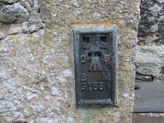
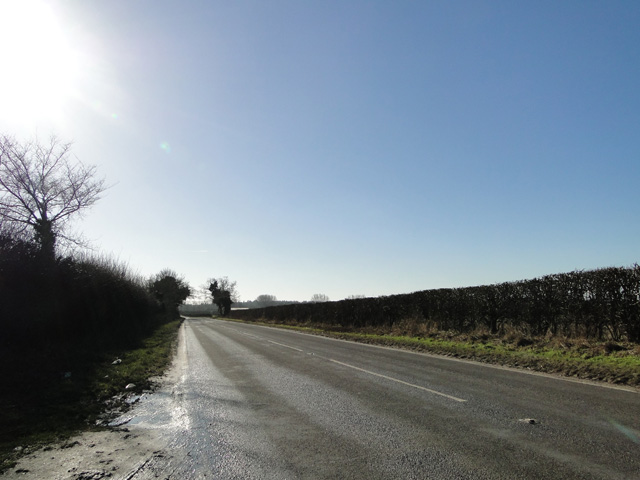
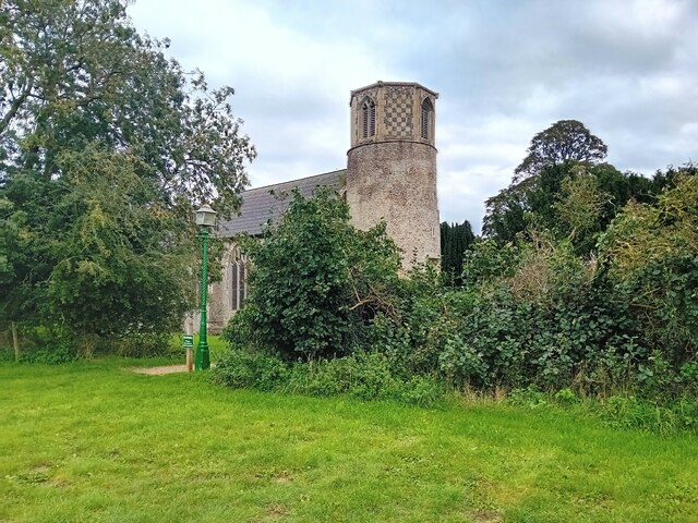
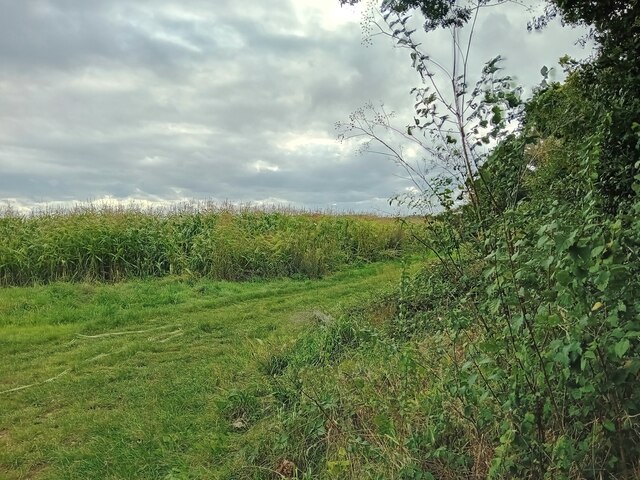
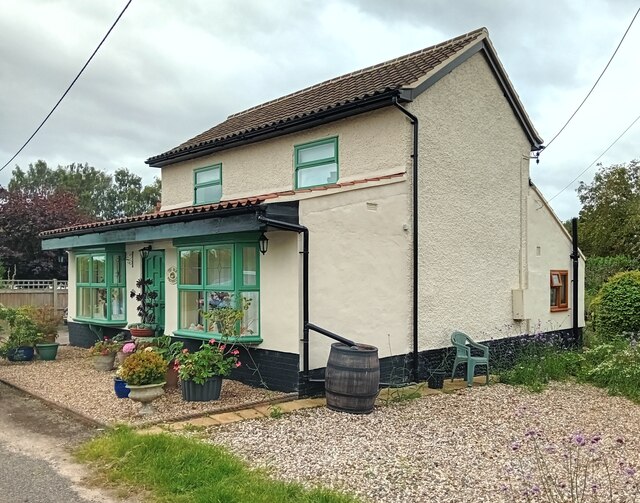
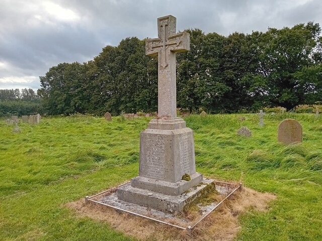
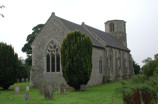
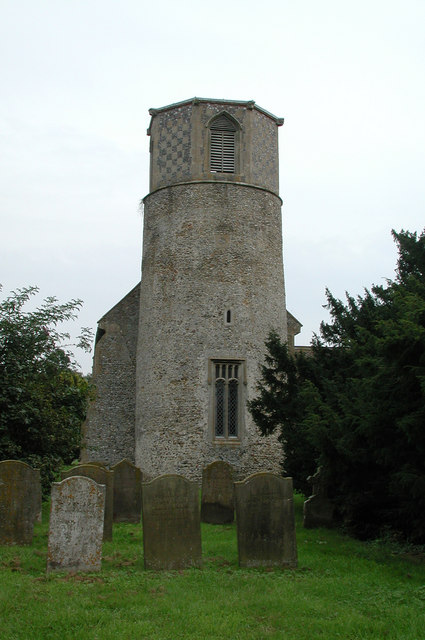
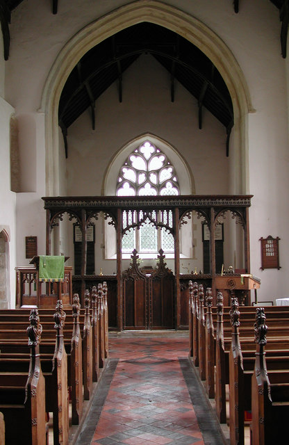
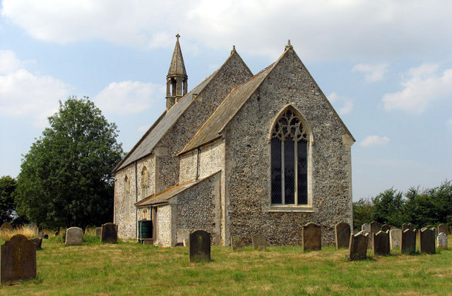
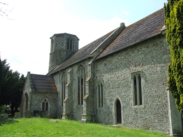
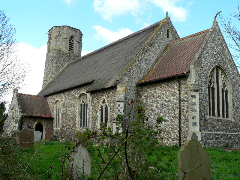
Gravelpit Hill Images
Images are sourced within 2km of 52.518022/0.89527529 or Grid Reference TL9695. Thanks to Geograph Open Source API. All images are credited.


Gravelpit Hill is located at Grid Ref: TL9695 (Lat: 52.518022, Lng: 0.89527529)
Administrative County: Norfolk
District: Breckland
Police Authority: Norfolk
What 3 Words
///brass.haggling.scenes. Near Griston, Norfolk
Nearby Locations
Related Wikis
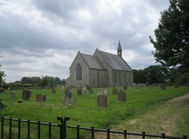
Church of St Margaret, Breckles
The church of Breckles St Margaret is an Anglican church near Stow Bedon, Norfolk, England. It is one of 124 existent round-tower churches in Norfolk....

Wayland, Norfolk
Wayland is an area in the district of Breckland within the English county of Norfolk. It is situated approximately 20 miles west of Norwich.The area is...

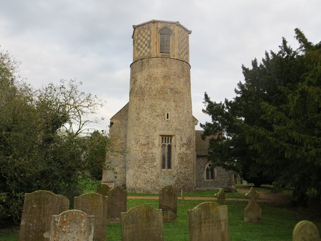
Stow Bedon
Stow Bedon is a village and former civil parish, now in the parish of Stow Bedon and Breckles, in the Breckland district of the English county of Norfolk...
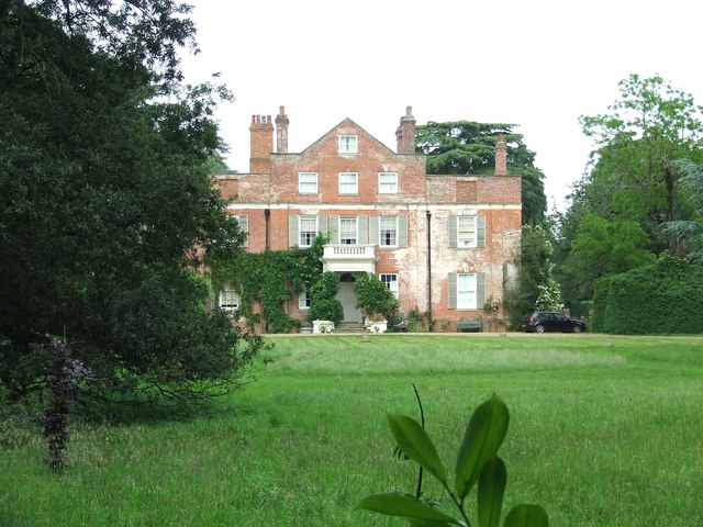
Shropham Hall
Shropham Hall is an early Georgian country house in Shropham in the county of Norfolk. It was completed by 1729 for John Barker, later High Sheriff of...
Rocklands
Rocklands is a civil parish in the English county of Norfolk which encompasses the villages of Rockland All Saints and Rockland St Peter. It covers an...

Wayland Rural District
Wayland Rural District was a rural district in Norfolk, England from 1894 to 1974.It was formed under the Local Government Act 1894 based on the Wayland...

Shropham
Shropham is a civil parish in the English county of Norfolk. It covers an area of 11.12 km2 (4.29 sq mi) and had a population of 351 in 155 households...
Rockland St Peter
Rockland St Peter is a village and former civil parish, now in the parish of Rocklands, in the Breckland district, in the county of Norfolk, England. Its...
Nearby Amenities
Located within 500m of 52.518022,0.89527529Have you been to Gravelpit Hill?
Leave your review of Gravelpit Hill below (or comments, questions and feedback).