Gravelpit Plantation
Wood, Forest in Norfolk Breckland
England
Gravelpit Plantation
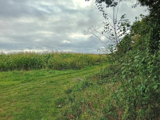
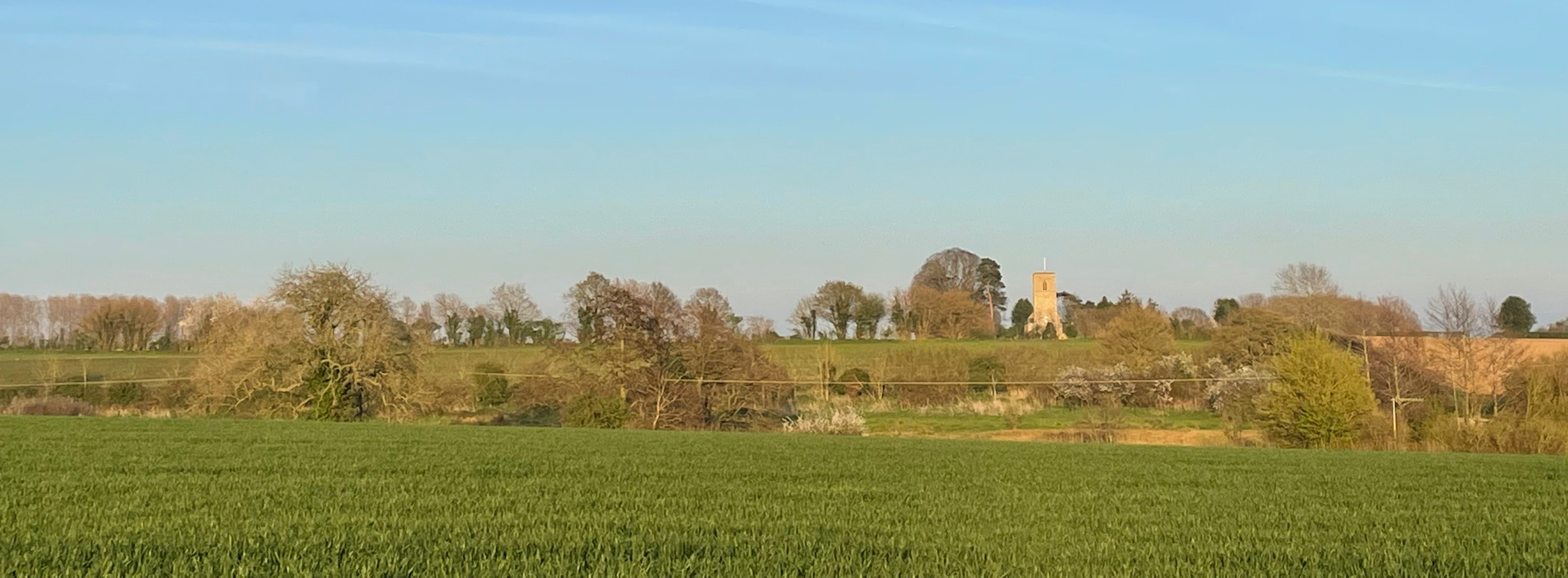
Gravelpit Plantation is a historic woodland area located in Norfolk, England. Situated in the heart of the county's countryside, this plantation covers a vast expanse of land and is renowned for its diverse range of wood and forest species. Spanning approximately 500 acres, Gravelpit Plantation is a significant natural resource and an important conservation area.
The plantation is predominantly made up of broadleaf trees, including oak, beech, and ash, which provide a rich habitat for various flora and fauna. The woodland floor is covered with a carpet of wildflowers, creating a picturesque landscape during the spring and summer months. Additionally, the presence of several ponds and small streams within the plantation adds to the overall biodiversity of the area.
Gravelpit Plantation has a long and fascinating history. Originally established in the 18th century, it served as a source of timber for the local community and played a vital role in the region's economic development. Today, it is managed by the Norfolk Wildlife Trust, which has implemented various conservation measures to protect the plantation's natural heritage.
The plantation offers numerous recreational activities for visitors, including walking trails, cycling paths, and birdwatching opportunities. It attracts nature enthusiasts, hikers, and families looking to immerse themselves in the tranquility of the woodland. Gravelpit Plantation also hosts educational programs and guided tours, allowing visitors to learn about the diverse ecosystem and the importance of woodland conservation.
Overall, Gravelpit Plantation in Norfolk is a remarkable woodland area that showcases the beauty of nature while providing a valuable habitat for wildlife. Its rich history, diverse wildlife, and recreational offerings make it a must-visit destination for nature lovers and those seeking a peaceful retreat in the heart of the English countryside.
If you have any feedback on the listing, please let us know in the comments section below.
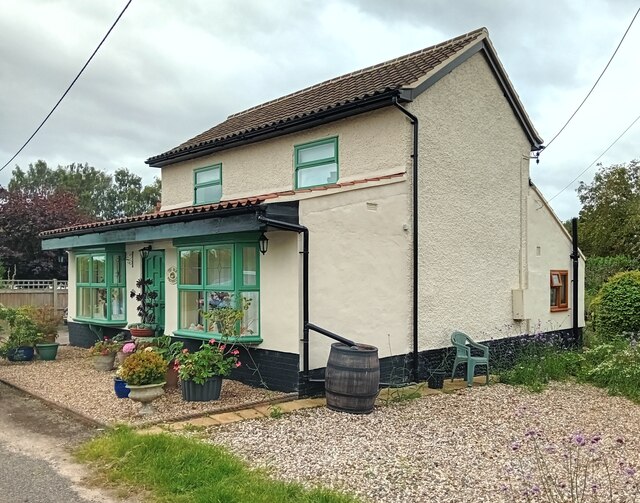
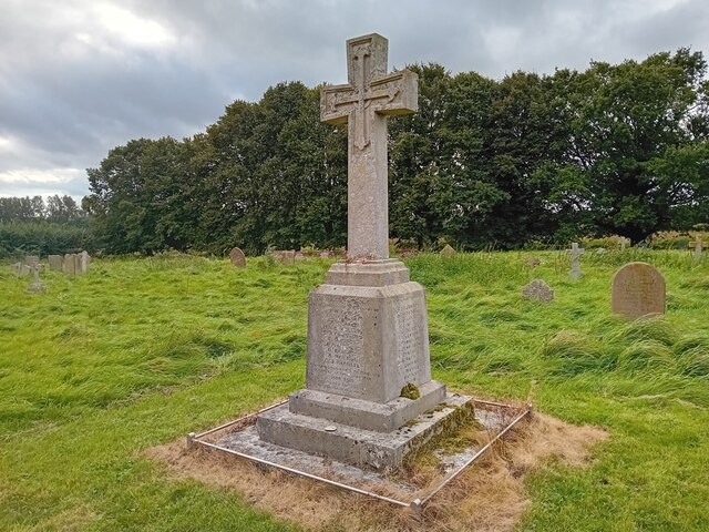
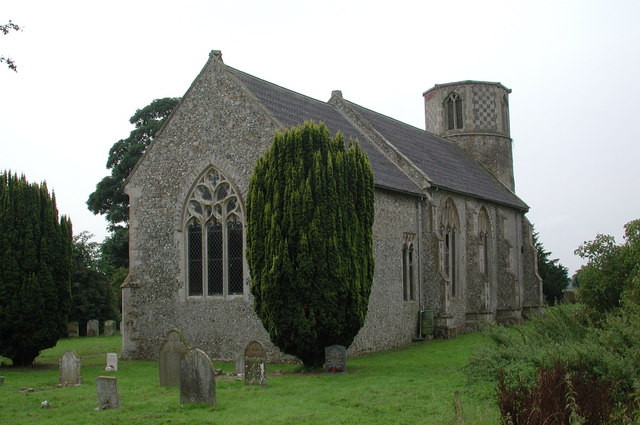
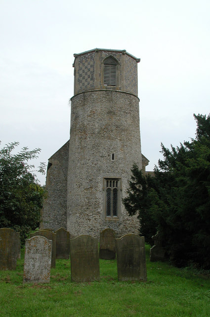
Gravelpit Plantation Images
Images are sourced within 2km of 52.518475/0.89552618 or Grid Reference TL9695. Thanks to Geograph Open Source API. All images are credited.


Gravelpit Plantation is located at Grid Ref: TL9695 (Lat: 52.518475, Lng: 0.89552618)
Administrative County: Norfolk
District: Breckland
Police Authority: Norfolk
What 3 Words
///hounded.sleepers.pocketed. Near Griston, Norfolk
Nearby Locations
Related Wikis
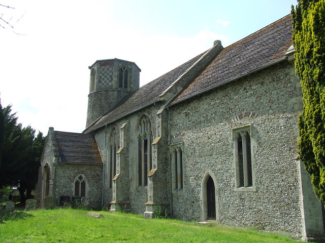
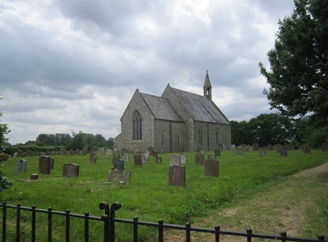
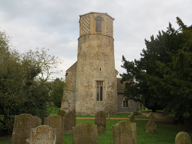
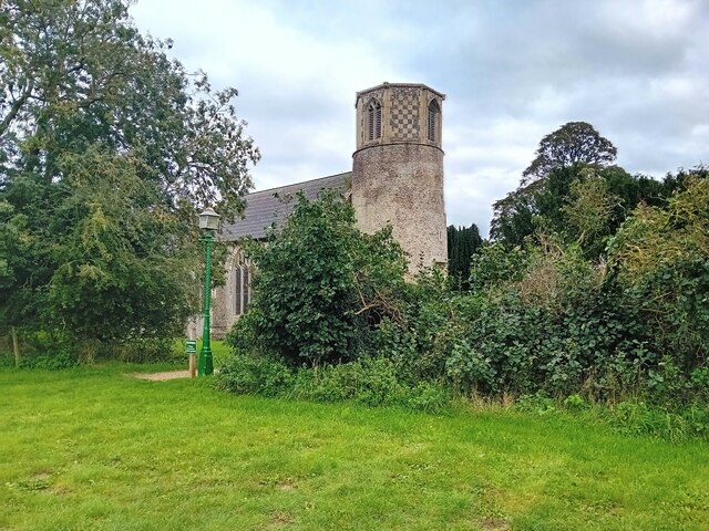
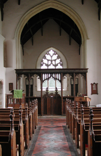
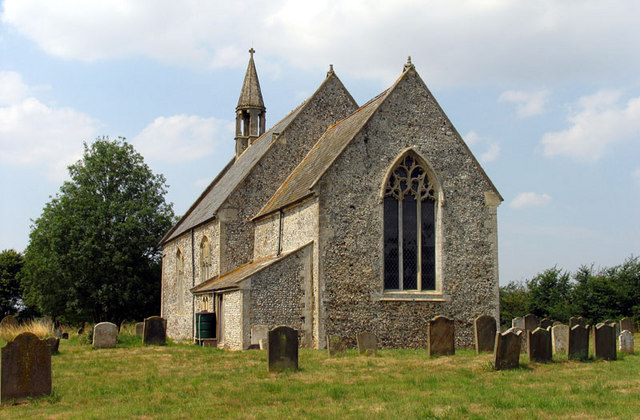
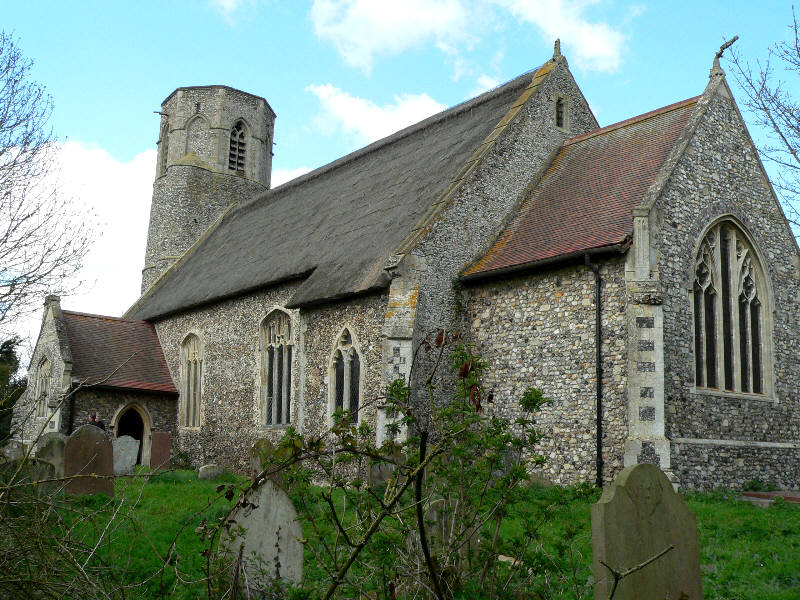
Church of St Margaret, Breckles
The church of Breckles St Margaret is an Anglican church near Stow Bedon, Norfolk, England. It is one of 124 existent round-tower churches in Norfolk....

Wayland, Norfolk
Wayland is an area in the district of Breckland within the English county of Norfolk. It is situated approximately 20 miles west of Norwich.The area is...

Stow Bedon
Stow Bedon is a village and former civil parish, now in the parish of Stow Bedon and Breckles, in the Breckland district of the English county of Norfolk...
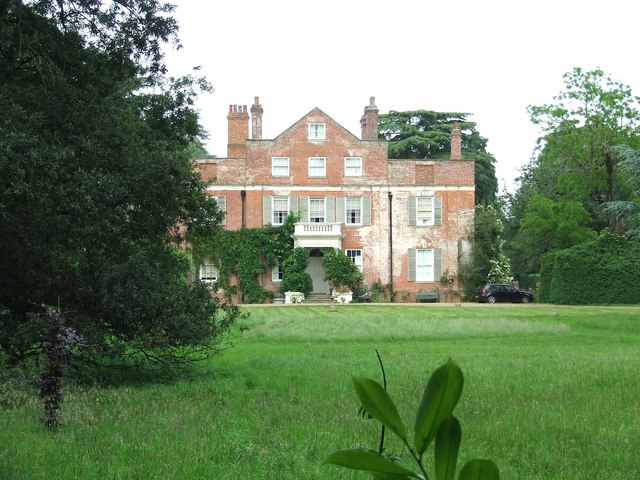
Shropham Hall
Shropham Hall is an early Georgian country house in Shropham in the county of Norfolk. It was completed by 1729 for John Barker, later High Sheriff of...
Rocklands
Rocklands is a civil parish in the English county of Norfolk which encompasses the villages of Rockland All Saints and Rockland St Peter. It covers an...

Wayland Rural District
Wayland Rural District was a rural district in Norfolk, England from 1894 to 1974.It was formed under the Local Government Act 1894 based on the Wayland...
Rockland St Peter
Rockland St Peter is a village and former civil parish, now in the parish of Rocklands, in the Breckland district, in the county of Norfolk, England. Its...
Rockland All Saints
Rockland All Saints is a village and former civil parish, now in the parish of Rocklands, in the Breckland district, in the county of Norfolk, England...
Nearby Amenities
Located within 500m of 52.518475,0.89552618Have you been to Gravelpit Plantation?
Leave your review of Gravelpit Plantation below (or comments, questions and feedback).