Rollright, Little
Settlement in Oxfordshire West Oxfordshire
England
Rollright, Little

Rollright, Little is a quaint village located in the county of Oxfordshire, England. Situated approximately 8 miles northwest of the market town of Chipping Norton, Rollright is a small community with a population of around 150 residents. The village is part of the larger Rollright civil parish, which includes the neighboring villages of Great Rollright and Long Compton.
The main attraction in Rollright is the Rollright Stones, a collection of prehistoric megalithic monuments. These stones are believed to date back to the late Neolithic or early Bronze Age, making them over 4,500 years old. The site consists of three main elements: the King's Men stone circle, the Whispering Knights burial chamber, and the King Stone. The King's Men stone circle is the largest and most prominent feature, with around 70 stones forming a circular shape. Legend has it that the stones were once a group of knights who were turned into stone by a witch.
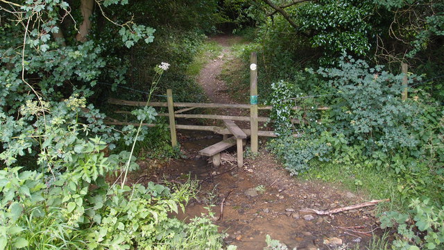
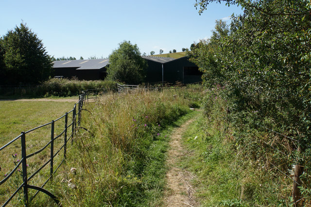
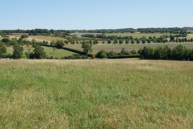
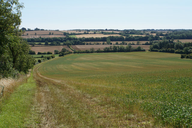
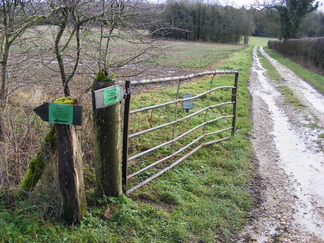
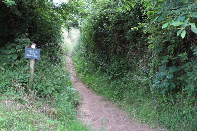
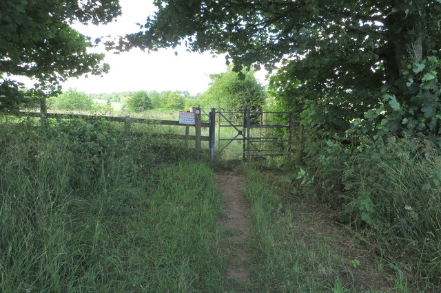
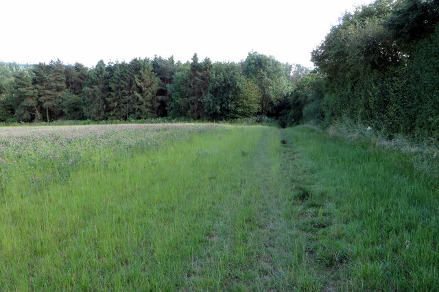
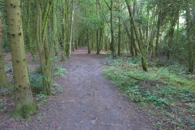
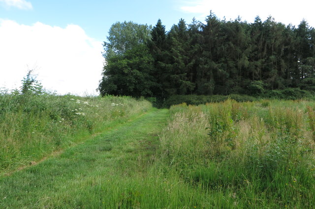
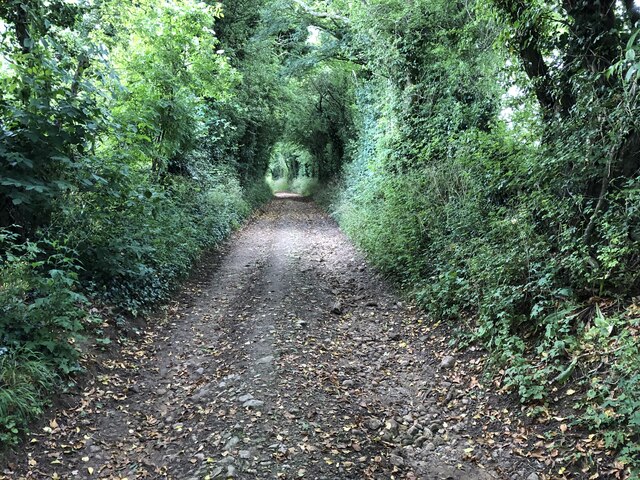
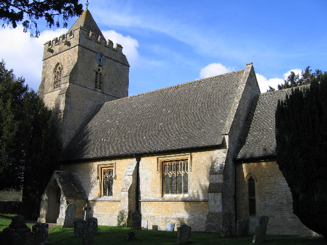
Aside from its historical significance, Rollright offers picturesque countryside views and peaceful surroundings. The village is characterized by traditional stone-built cottages and houses, giving it a charming and idyllic atmosphere. There are also a few local amenities available, including a village hall and a small church. With its close proximity to the Cotswolds, an area known for its natural beauty, Rollright is a popular destination for walkers, hikers, and nature enthusiasts.
Overall, Rollright, Little is a tranquil and historic village that offers visitors a glimpse into the ancient past while providing a peaceful retreat from the bustling cities nearby.
If you have any feedback on the listing, please let us know in the comments section below.
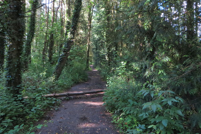
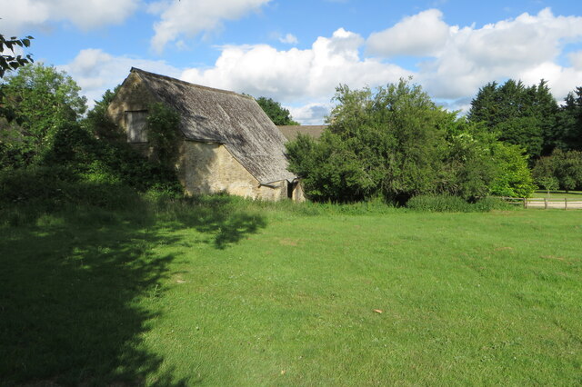
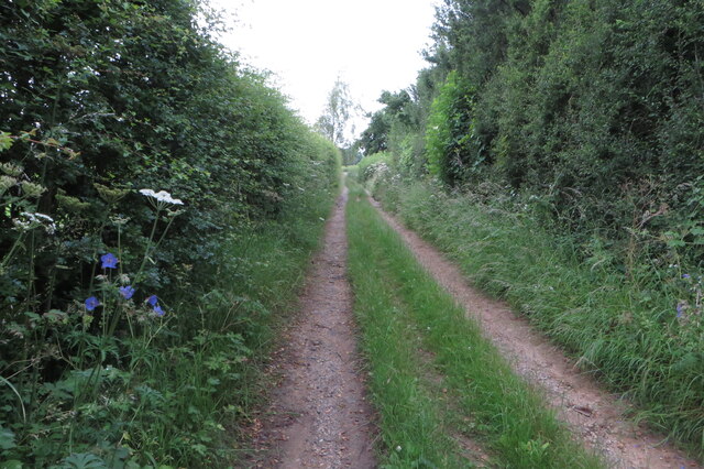
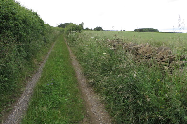
Rollright, Little Images
Images are sourced within 2km of 51.968556/-1.572015 or Grid Reference SP2930. Thanks to Geograph Open Source API. All images are credited.
Rollright, Little is located at Grid Ref: SP2930 (Lat: 51.968556, Lng: -1.572015)
Administrative County: Oxfordshire
District: West Oxfordshire
Police Authority: Thames Valley
What 3 Words
///zealous.blurs.vaccines. Near Chipping Norton, Oxfordshire
Nearby Locations
Related Wikis

Little Rollright
Little Rollright is a hamlet and former civil parish, now in the parish of Rollright, in the West Oxfordshire district, in the county of Oxfordshire, England...
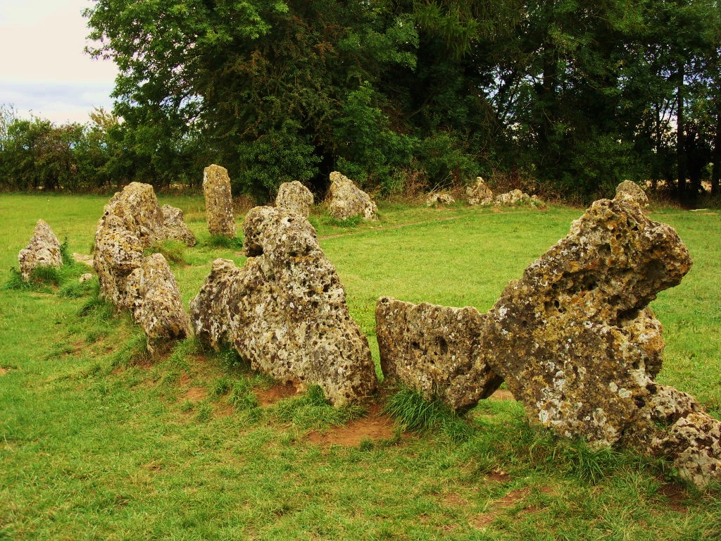
Rollright Stones
The Rollright Stones are a complex of three Neolithic and Bronze Age megalithic monuments near the village of Long Compton, on the borders of Oxfordshire...
Salford, Oxfordshire
Salford is a village and civil parish about 1+1⁄2 miles (2.4 km) west of Chipping Norton, Oxfordshire. The 2011 Census recorded the parish's population...

Long Compton
Long Compton is a village and civil parish in Warwickshire, England near the extreme southern tip of Warwickshire, and close to the border with Oxfordshire...

Over Norton
Over Norton is a village and civil parish within the West Oxfordshire district, about 1 mile (2 km) north of Chipping Norton, Oxfordshire, England. Over...

Over Norton Park
Over Norton Park is a farm of 210 acres (85 ha) at Over Norton, lying to the north of Chipping Norton, in the Cotswolds, Oxfordshire, England. It has been...
Rollright Halt railway station
Rollright Halt railway station served the village of Great Rollright in Oxfordshire, England. == History == The station was built by the Great Western...
Rollright
Rollright is a civil parish in West Oxfordshire, England. It contains the villages of Great Rollright and Little Rollright and some of the prehistoric...
Nearby Amenities
Located within 500m of 51.968556,-1.572015Have you been to Rollright, Little?
Leave your review of Rollright, Little below (or comments, questions and feedback).