Camas na Sgeir Ruaidhe
Bay in Inverness-shire
Scotland
Camas na Sgeir Ruaidhe
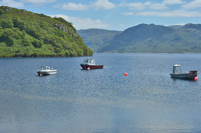
Camas na Sgeir Ruaidhe, located in Inverness-shire, is a picturesque bay situated on the west coast of Scotland. Nestled between rugged cliffs and rolling hills, this bay offers a stunning natural landscape that attracts visitors from all over the world.
The bay is characterized by its sandy beach, which stretches for approximately half a mile and is known for its pristine beauty. The sand is soft and golden, making it an ideal spot for sunbathing, picnicking, and leisurely walks along the shore. The clear turquoise waters of the bay are perfect for swimming, with the shallow depths making it safe for families and children.
Surrounding Camas na Sgeir Ruaidhe are towering cliffs that provide a dramatic backdrop to the bay. These cliffs are popular with hikers and climbers, offering breathtaking views of the bay and the surrounding landscape from their summits. The bay is also known for its diverse marine life, with seals often seen basking on the rocks and a variety of seabirds soaring overhead.
Visitors to Camas na Sgeir Ruaidhe can enjoy a range of outdoor activities, including fishing, kayaking, and sailing. The bay is also a popular spot for wildlife enthusiasts, as it is home to a rich array of flora and fauna. The surrounding area offers numerous walking trails and nature reserves, allowing visitors to explore the nearby forests and moorlands.
Overall, Camas na Sgeir Ruaidhe is a true gem of Inverness-shire, offering a tranquil and idyllic setting for those seeking natural beauty and outdoor adventure.
If you have any feedback on the listing, please let us know in the comments section below.
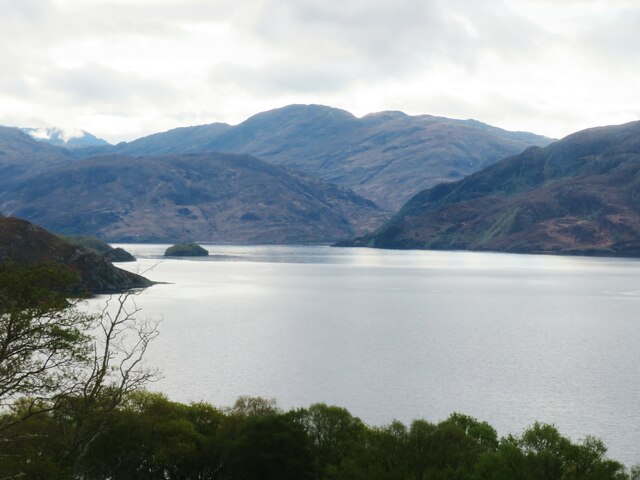
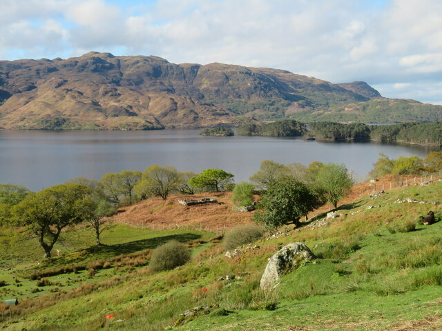
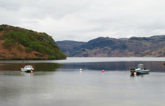
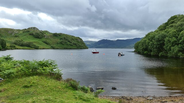
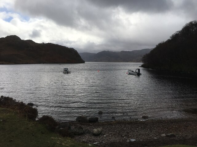
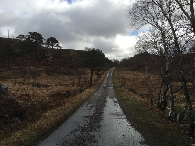
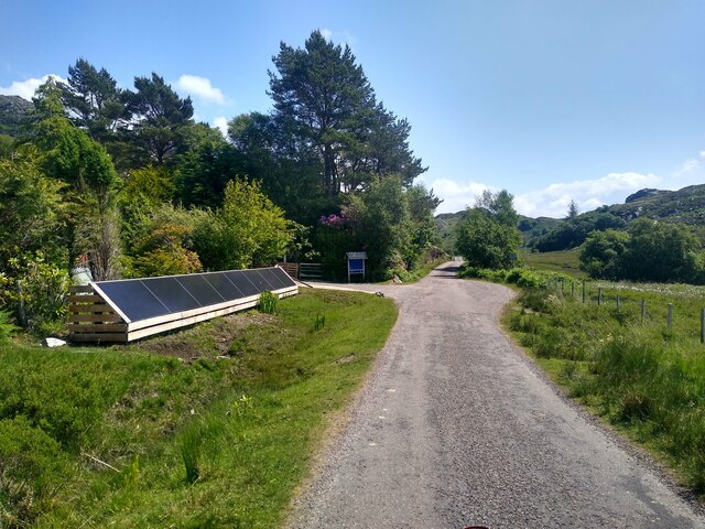
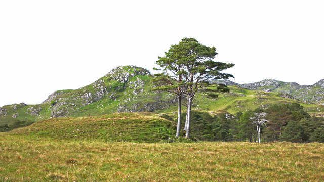
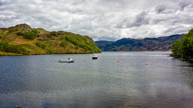
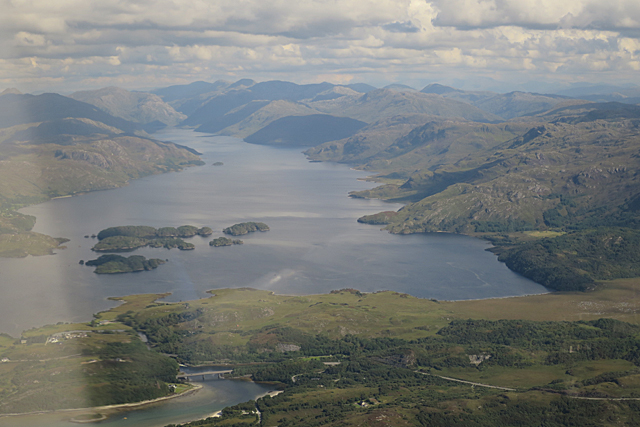
Camas na Sgeir Ruaidhe Images
Images are sourced within 2km of 56.968405/-5.7852872 or Grid Reference NM7092. Thanks to Geograph Open Source API. All images are credited.
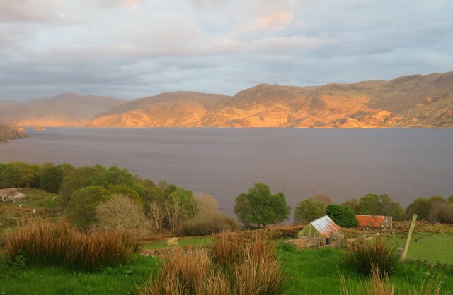
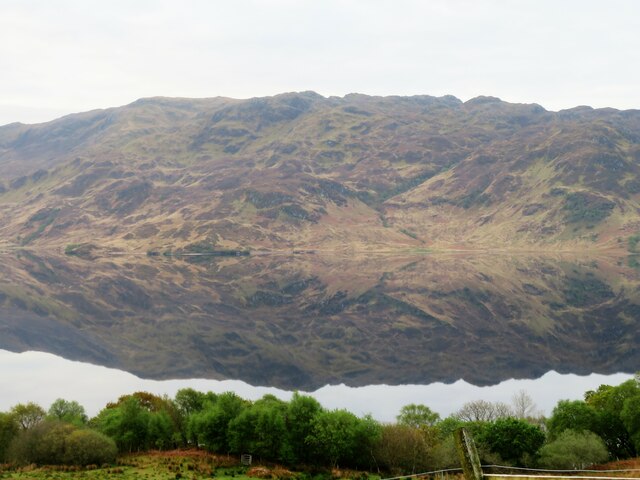
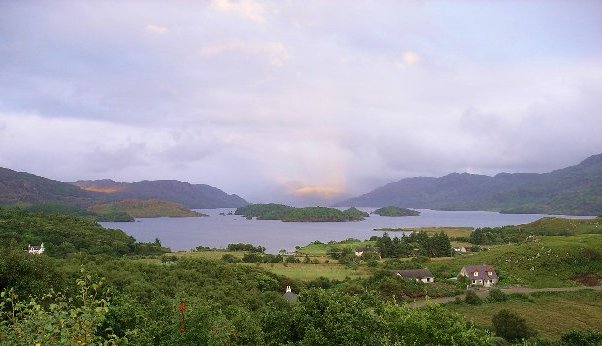
![Faire nan Eillean Compare this with a similar view in April 2008 [<a title="https://www.geograph.org.uk/photo/773841" href="https://www.geograph.org.uk/photo/773841">Link</a>].](https://s1.geograph.org.uk/geophotos/05/11/17/5111761_1c5af085.jpg)


Camas na Sgeir Ruaidhe is located at Grid Ref: NM7092 (Lat: 56.968405, Lng: -5.7852872)
Unitary Authority: Highland
Police Authority: Highlands and Islands
What 3 Words
///skylights.palaces.saving. Near Arisaig, Highland
Related Wikis

Bracora
Bracora is a settlement in Lochaber in the Highlands of Scotland. It lies on the north shore of Loch Morar.
Battle of Morar
The Battle of Morar was a Scottish clan battle fought in 1602, near Loch Morar, in the Scottish Highlands. It was fought between the Clan MacDonell of...

Morar Railway Viaduct
The Morar Railway Viaduct is a railway viaduct that carries the West Highland Line over the River Morar. == History == The West Highland Railway was built...

Loch a' Ghille Ghobaich
Loch a' Ghille Ghobaich (loch of the meddlesome or gossiping ghillie) is a large irregular shaped freshwater hill loch, situated on a north-south orientation...
Nearby Amenities
Located within 500m of 56.968405,-5.7852872Have you been to Camas na Sgeir Ruaidhe?
Leave your review of Camas na Sgeir Ruaidhe below (or comments, questions and feedback).