Torr na Bà

Hill, Mountain in Inverness-shire

Scotland

Torr na Bà

View from Bracara Looking east along Loch Morar from Bracara. No sign of 'Morag' in the water.
View from Bracara Credit: Gordon Hatton

Torr na Bà, located in Inverness-shire, Scotland, is a prominent hill/mountain that offers breathtaking panoramic views of the surrounding landscape. Standing at an elevation of approximately 1,103 feet (336 meters), it is a popular destination for hikers and nature enthusiasts.

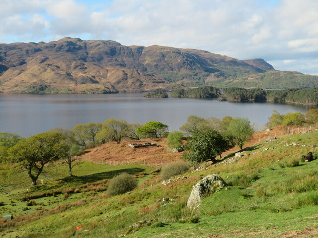
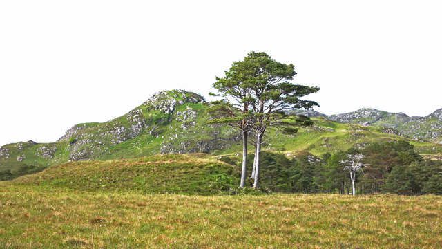
Situated near the village of Invermoriston, Torr na Bà is part of the wider Glenmoriston Estate, which spans across diverse terrain including forests, moorland, and rivers. The hill/mountain itself is characterized by its distinctive conical shape and rugged cliffs, making it a striking feature of the local landscape.

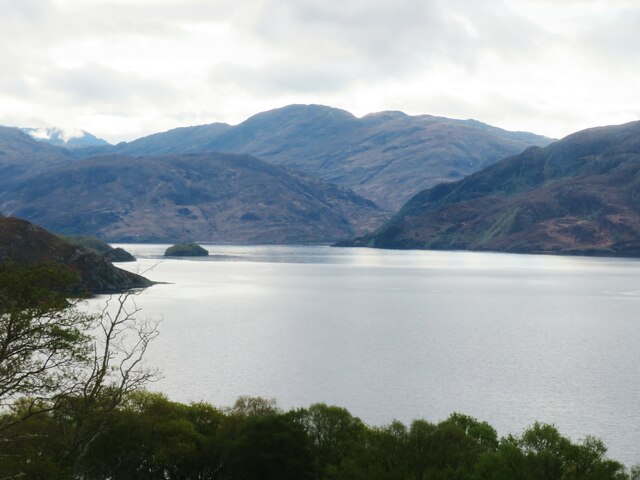
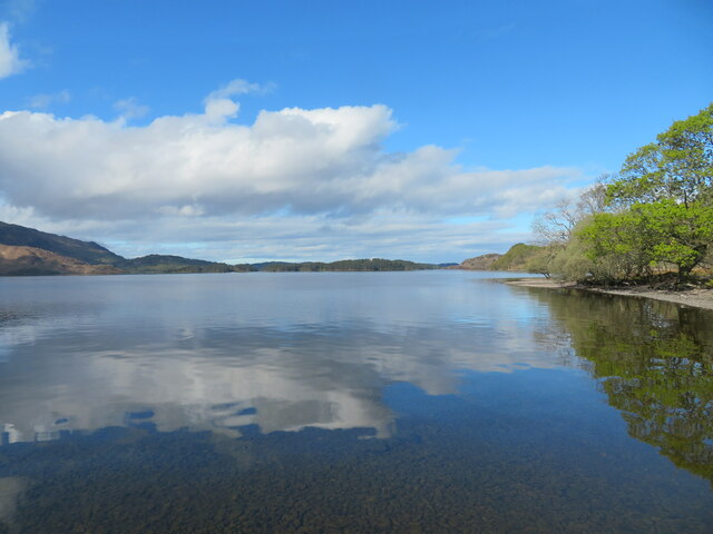
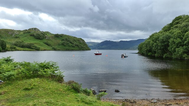
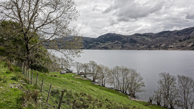
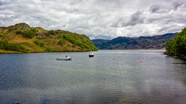
The ascent to Torr na Bà is a rewarding experience, providing visitors with stunning vistas of the Great Glen, including the iconic Loch Ness. On clear days, it is even possible to catch a glimpse of the distant mountains of Glen Affric and the Cairngorms National Park. The summit also offers a mesmerizing view of the surrounding glens, scattered with lochs and rolling hills.

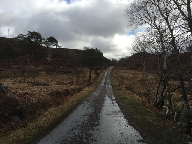
Torr na Bà is accessible via several well-marked trails, with the most popular route starting from the A82 road near Invermoriston. The hike to the summit is moderate in difficulty, involving some steep sections and uneven terrain. However, the stunning views and sense of accomplishment make it worthwhile for outdoor enthusiasts.

Overall, Torr na Bà is a picturesque hill/mountain in Inverness-shire that captivates visitors with its natural beauty and awe-inspiring vistas. Whether you are an experienced hiker or simply seeking a scenic spot to appreciate the Scottish Highlands, this magnificent landmark is sure to leave a lasting impression.

If you have any feedback on the listing, please let us know in the comments section below.

Torr na Bà Images

Images are sourced within 2km of 56.968384/-5.7755727 or Grid Reference NM7092. Thanks to Geograph Open Source API. All images are credited.
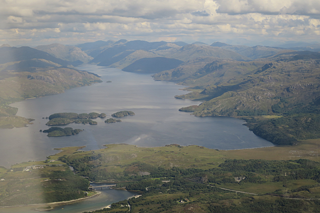
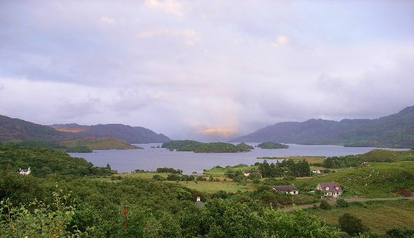
View from Bracara Looking east along Loch Morar from Bracara. No sign of 'Morag' in the water.
View from Bracara
Looking east along Loch Morar from Bracara. No sign of 'Morag' in the water.
Hillside above the loch at Bracara A view across Loch Morar with the wooded islands to the right.
Hillside above the loch at Bracara
A view across Loch Morar with the wooded islands to the right.
Inquisitive sheep at Bracorina Eager to appear on the Geograph website, these sheep headed towards the road when they saw me.
Inquisitive sheep at Bracorina
Eager to appear on the Geograph website, these sheep headed towards the road when they saw me.
Still waters, Loch Morar Looking east along the loch from near Bracorina towards the seaward end.
Still waters, Loch Morar
Looking east along the loch from near Bracorina towards the seaward end.
Boats on Loch Morar A quiet inlet on the north shore of the loch.
Boats on Loch Morar
A quiet inlet on the north shore of the loch.
Evening light, Bracara A view over Loch Morar with the last rays of the sun lighting up the hills on the far side.
Evening light, Bracara
A view over Loch Morar with the last rays of the sun lighting up the hills on the far side.
House at Bracorina Large house at the end of the road along the north side of Loch Morar. The house extends into a former chapel at this end.
House at Bracorina
Large house at the end of the road along the north side of Loch Morar. The house extends into a former chapel at this end.
Loch Morar Or is it Loch Mirror? Morning reflections in still waters, and still no sign of 'Morag'.
Loch Morar
Or is it Loch Mirror? Morning reflections in still waters, and still no sign of 'Morag'.
Loch Morar
Loch Morar
Bay on Loch Morar near Bracara
Minor road towards Bracara
Solar installations If lost, the intrepid walker can easily figure out that south must be to the right.
Solar installations
If lost, the intrepid walker can easily figure out that south must be to the right.
Scots Pine Near Loch Morar
Scots Pine
Near Loch Morar
Wooded shore of Loch Morar
Boats on an inlet on Loch Morar
Loch Morar Looking east along the loch, with the river clearly visible in the foreground.
Loch Morar
Looking east along the loch, with the river clearly visible in the foreground.
Faire nan Eillean Compare this with a similar view in April 2008 [<a title="https://www.geograph.org.uk/photo/773841" href="https://www.geograph.org.uk/photo/773841">Link</a>].
Faire nan Eillean
Compare this with a similar view in April 2008 [Link].
Minor road from Bracorina to Morar
Show me another place!

Torr na Bà is located at Grid Ref: NM7092 (Lat: 56.968384, Lng: -5.7755727)

Unitary Authority: Highland

Police Authority: Highlands and Islands

What 3 Words

///lure.beak.recent. Near Arisaig, Highland

Related Wikis

Bracora

Bracora is a settlement in Lochaber in the Highlands of Scotland. It lies on the north shore of Loch Morar.

Bracorina

Bracorina is a settlement in Lochaber, in the Highland council area of Scotland. It is located on the northern side of Loch Morar, 5 km east of the village...

Battle of Morar

The Battle of Morar was a Scottish clan battle fought in 1602, near Loch Morar, in the Scottish Highlands. It was fought between the Clan MacDonell of...

Morar Railway Viaduct

The Morar Railway Viaduct is a railway viaduct that carries the West Highland Line over the River Morar. == History == The West Highland Railway was built...

Nearby Amenities

Located within 500m of 56.968384,-5.7755727
Tòrr na Bà
Ele: 78
Natural: peak
Lat/Long: 56.9679657/-5.7769434
Power: pole
Lat/Long: 56.970994/-5.7698849
Power: pole
Lat/Long: 56.9710093/-5.7711227
Power: pole
Lat/Long: 56.9710459/-5.7725295
Power: pole
Lat/Long: 56.9710854/-5.7737258
Power: pole
Lat/Long: 56.9711497/-5.7744393
Power: pole
Lat/Long: 56.9712696/-5.7755953
Power: pole
Lat/Long: 56.9714435/-5.7774434
Generator Method: photovoltaic
Generator Output Electricity: yes
Generator Source: solar
Generator Type: solar_photovoltaic_panel
Location: roof
Power: generator
Lat/Long: 56.9713237/-5.7802369
Power: pole
Lat/Long: 56.9715722/-5.7787818
Power: pole
Lat/Long: 56.971676/-5.7800733
The data included in this document is from www.openstreetmap.org. The data is made available under ODbL.

Have you been to Torr na Bà?

Leave your review of Torr na Bà below (or comments, questions and feedback).