An t-Eilean Meadhoin
Island in Inverness-shire
Scotland
An t-Eilean Meadhoin
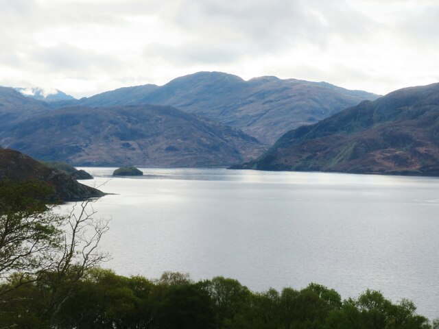
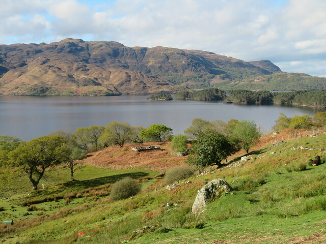
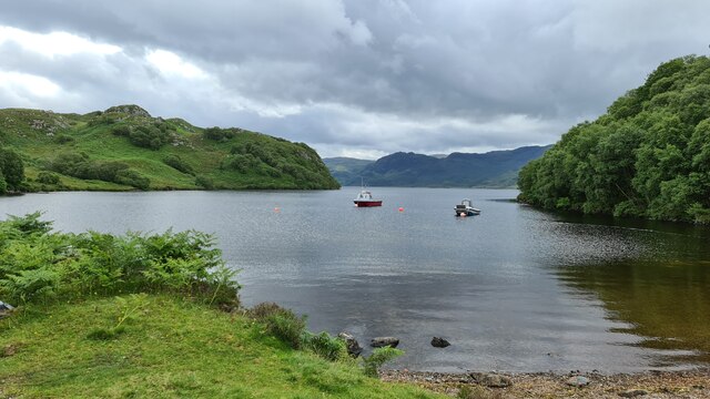
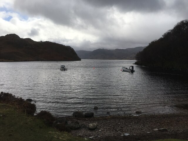
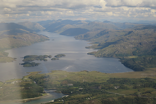
An t-Eilean Meadhoin, also known as the Middle Isle, is a small island located in Inverness-shire, Scotland. Situated in the Inner Hebrides, this island is part of the picturesque Inner Sound archipelago. With a total land area of approximately 1.4 square kilometers, it is one of the smaller islands in the region.
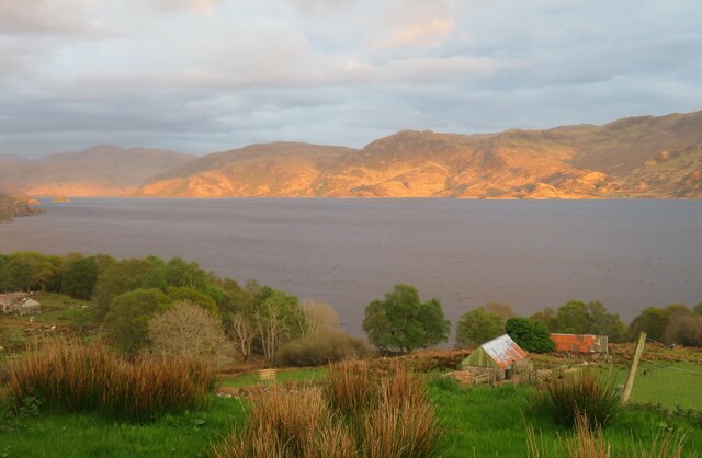
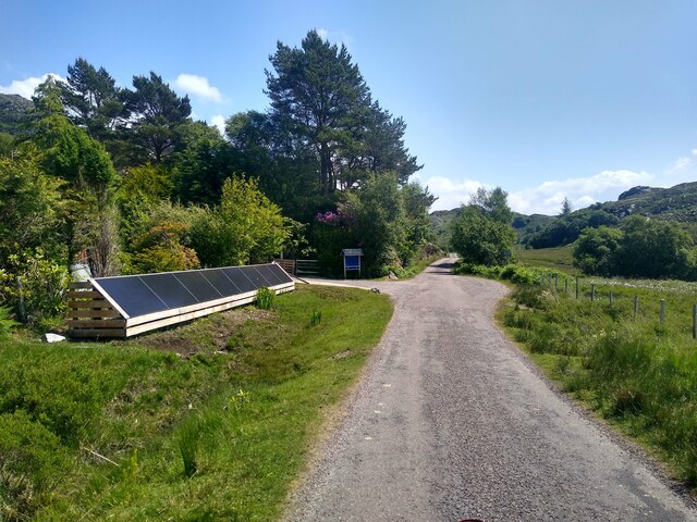
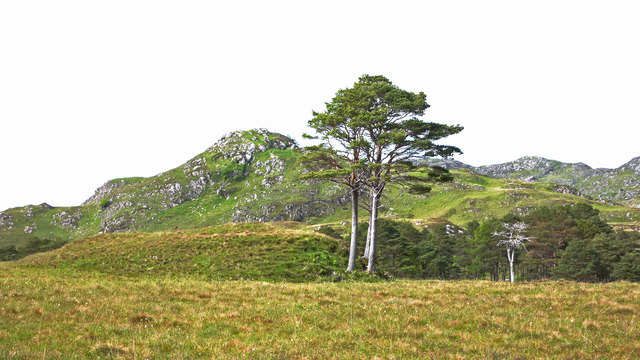
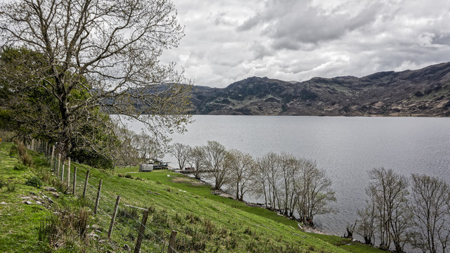
An t-Eilean Meadhoin boasts stunning natural beauty, characterized by its rugged coastline, rocky cliffs, and rolling hills. The island is covered in a patchwork of grassy meadows, heather moorlands, and scattered woodlands, creating a diverse and enchanting landscape. Rich in flora and fauna, it is home to a variety of bird species, including seabirds and raptors.
The island has a rich history, with evidence of human habitation dating back to the Neolithic period. Ruins of ancient settlements, stone circles, and burial cairns can be found across the island, providing a glimpse into its past. Today, An t-Eilean Meadhoin remains sparsely populated, with only a handful of residents living on the island permanently.
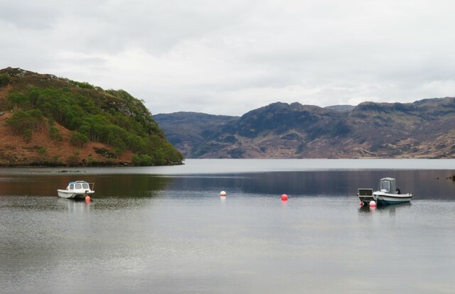
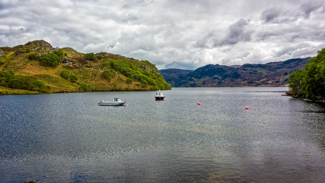
The island offers fantastic opportunities for outdoor activities, such as hiking, birdwatching, and fishing. Its secluded beaches and crystal-clear waters are perfect for swimming and exploring the marine life. Visitors can enjoy breathtaking views of the surrounding islands and the distant mainland, making it a popular destination for nature lovers and photographers.
Access to An t-Eilean Meadhoin is mainly by boat, with regular ferry services connecting it to the mainland. There are no commercial facilities on the island, so visitors are advised to bring their own supplies. Those seeking tranquility and a true wilderness experience will find An t-Eilean Meadhoin to be a hidden gem in the heart of Inverness-shire.
If you have any feedback on the listing, please let us know in the comments section below.
An t-Eilean Meadhoin Images
Images are sourced within 2km of 56.963785/-5.7790078 or Grid Reference NM7092. Thanks to Geograph Open Source API. All images are credited.
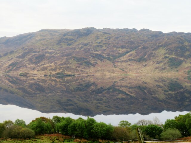
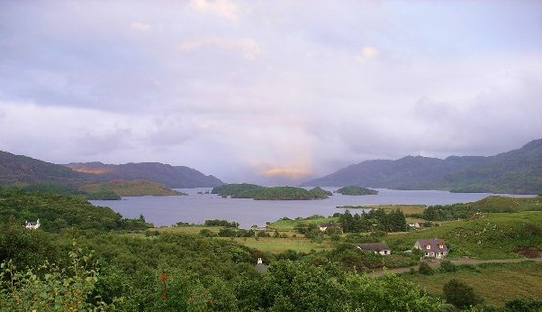
![Faire nan Eillean Compare this with a similar view in April 2008 [<a title="https://www.geograph.org.uk/photo/773841" href="https://www.geograph.org.uk/photo/773841">Link</a>].](https://s1.geograph.org.uk/geophotos/05/11/17/5111761_1c5af085.jpg)


An t-Eilean Meadhoin is located at Grid Ref: NM7092 (Lat: 56.963785, Lng: -5.7790078)
Unitary Authority: Highland
Police Authority: Highlands and Islands
What 3 Words
///scrubber.releasing.tiny. Near Arisaig, Highland
Related Wikis

Bracora
Bracora is a settlement in Lochaber in the Highlands of Scotland. It lies on the north shore of Loch Morar.
Bracorina
Bracorina is a settlement in Lochaber, in the Highland council area of Scotland. It is located on the northern side of Loch Morar, 5 km east of the village...

Morar Railway Viaduct
The Morar Railway Viaduct is a railway viaduct that carries the West Highland Line over the River Morar. == History == The West Highland Railway was built...
Battle of Morar
The Battle of Morar was a Scottish clan battle fought in 1602, near Loch Morar, in the Scottish Highlands. It was fought between the Clan MacDonell of...
Nearby Amenities
Located within 500m of 56.963785,-5.7790078Have you been to An t-Eilean Meadhoin?
Leave your review of An t-Eilean Meadhoin below (or comments, questions and feedback).