Sgeir na Cailleach
Island in Inverness-shire
Scotland
Sgeir na Cailleach
Sgeir na Cailleach is a small uninhabited island located off the coast of Inverness-shire, Scotland. The island is situated in the Moray Firth, approximately 5 miles northeast of the town of Cromarty. Sgeir na Cailleach translates to "Island of the Old Woman" in Gaelic, and it is often referred to as the "Witch's Island" due to its mystical association.
The island covers an area of around 3 acres and is characterized by rugged cliffs and rocky terrain. At low tide, a sandbar connects Sgeir na Cailleach to the mainland, allowing visitors to explore the island on foot. However, caution is advised as the terrain can be treacherous and slippery.
The island is home to a variety of bird species, including guillemots, razorbills, puffins, and fulmars. These birds use the cliffs and rocky ledges for nesting and breeding during the summer months, making Sgeir na Cailleach an important site for birdwatching enthusiasts.
Legend has it that the island was once inhabited by an ancient witch, giving rise to its fascinating name. Although there is no concrete evidence of the witch's existence, the island's mystique and folklore continue to captivate locals and visitors alike.
Sgeir na Cailleach is often visited by boat tours and offers stunning views of the surrounding coastline and wildlife. The island's remote location and natural beauty make it a popular destination for nature lovers and those seeking a peaceful retreat.
If you have any feedback on the listing, please let us know in the comments section below.
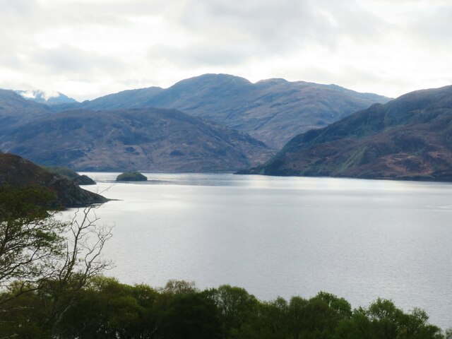
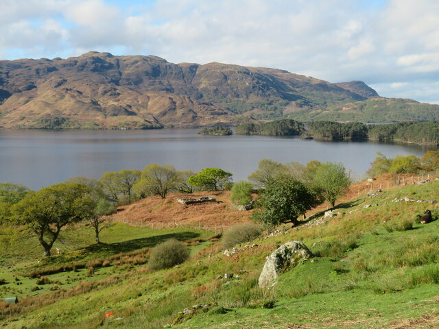
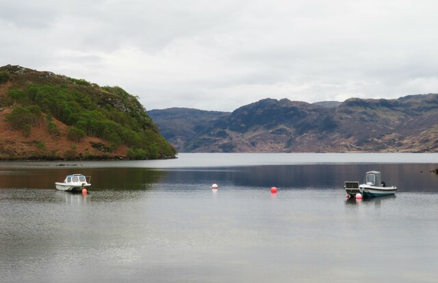
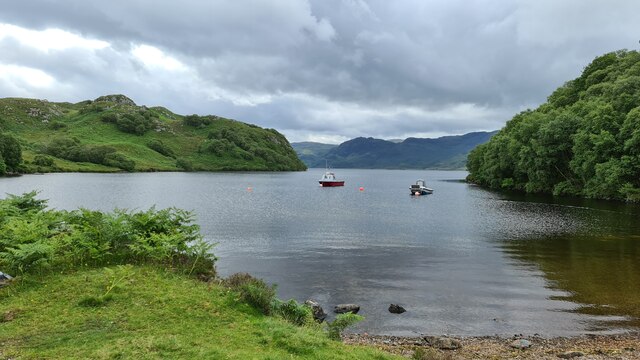
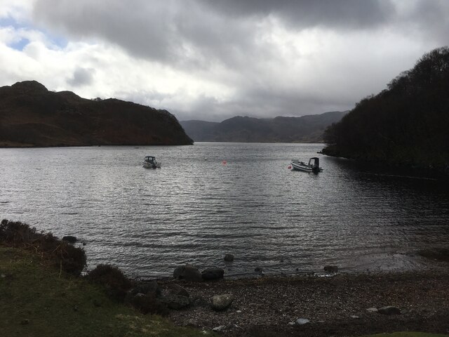
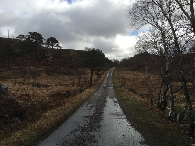
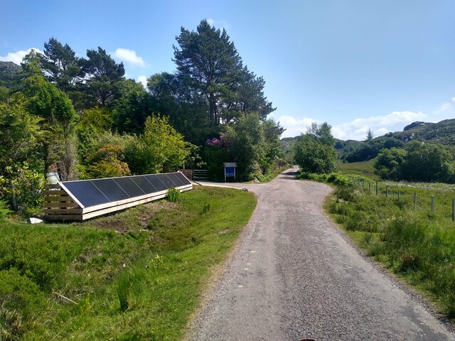
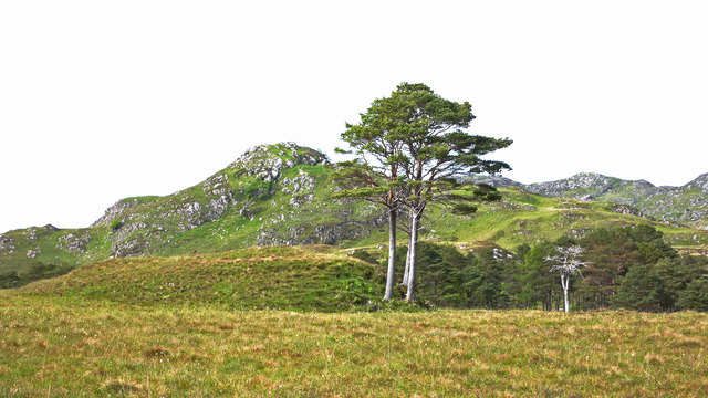
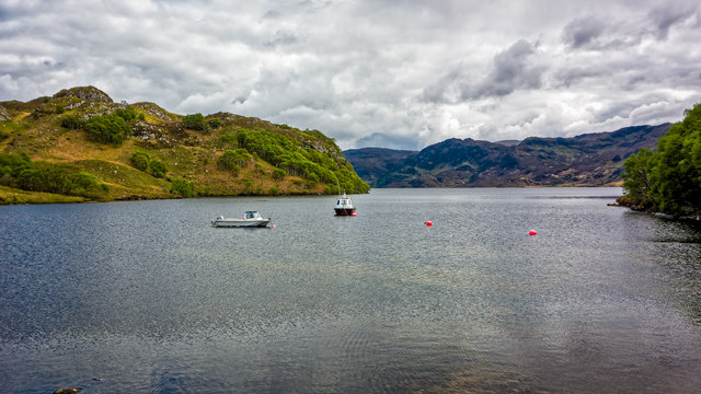
Sgeir na Cailleach Images
Images are sourced within 2km of 56.96544/-5.7786982 or Grid Reference NM7092. Thanks to Geograph Open Source API. All images are credited.
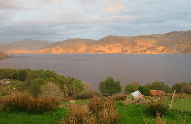
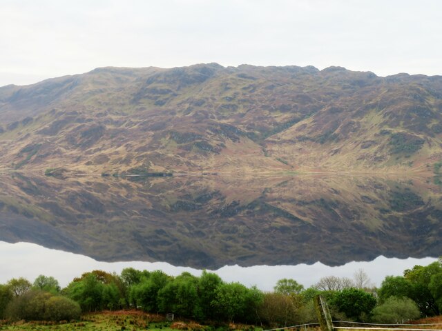
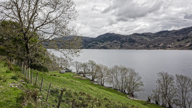
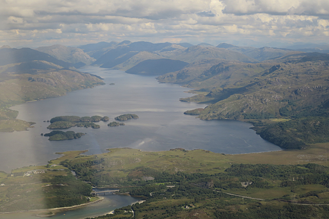
![Faire nan Eillean Compare this with a similar view in April 2008 [<a title="https://www.geograph.org.uk/photo/773841" href="https://www.geograph.org.uk/photo/773841">Link</a>].](https://s1.geograph.org.uk/geophotos/05/11/17/5111761_1c5af085.jpg)


Sgeir na Cailleach is located at Grid Ref: NM7092 (Lat: 56.96544, Lng: -5.7786982)
Unitary Authority: Highland
Police Authority: Highlands and Islands
What 3 Words
///gripes.cashiers.fractions. Near Arisaig, Highland
Related Wikis

Bracora
Bracora is a settlement in Lochaber in the Highlands of Scotland. It lies on the north shore of Loch Morar.
Bracorina
Bracorina is a settlement in Lochaber, in the Highland council area of Scotland. It is located on the northern side of Loch Morar, 5 km east of the village...

Morar Railway Viaduct
The Morar Railway Viaduct is a railway viaduct that carries the West Highland Line over the River Morar. == History == The West Highland Railway was built...
Battle of Morar
The Battle of Morar was a Scottish clan battle fought in 1602, near Loch Morar, in the Scottish Highlands. It was fought between the Clan MacDonell of...
Nearby Amenities
Located within 500m of 56.96544,-5.7786982Have you been to Sgeir na Cailleach?
Leave your review of Sgeir na Cailleach below (or comments, questions and feedback).