Port an Àird Fhada
Bay in Argyllshire
Scotland
Port an Àird Fhada
The requested URL returned error: 429 Too Many Requests
If you have any feedback on the listing, please let us know in the comments section below.
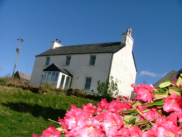
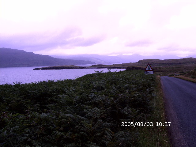
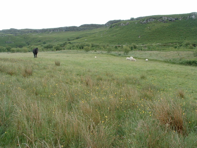
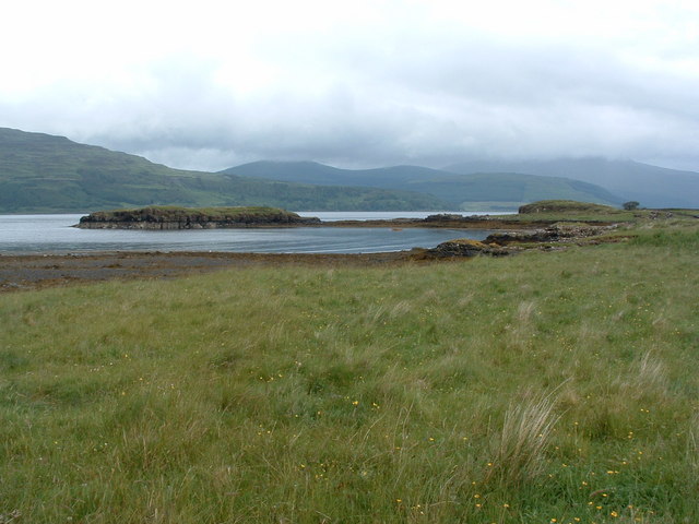
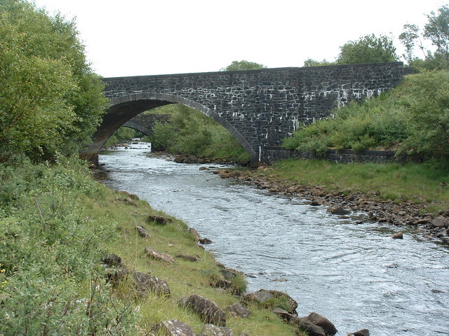
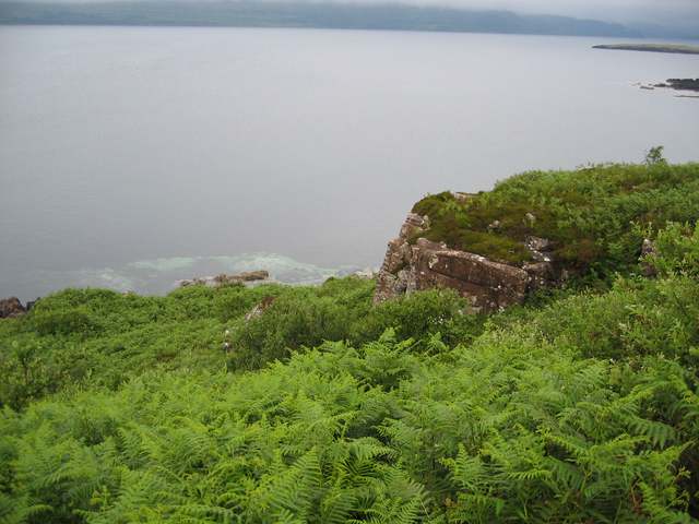
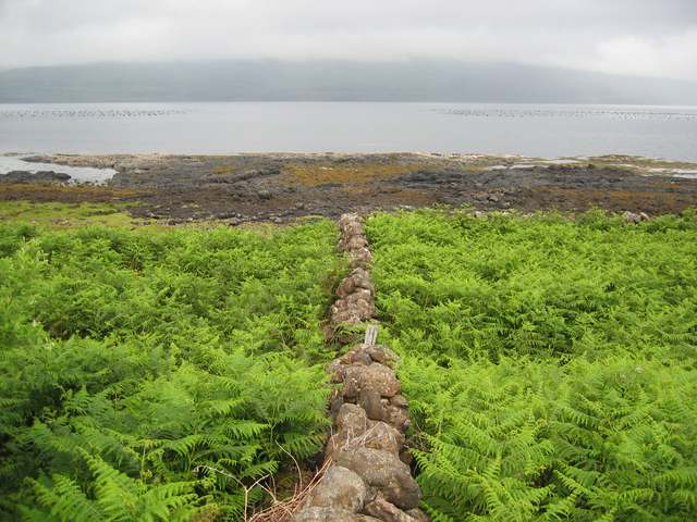
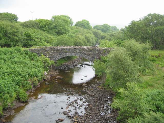
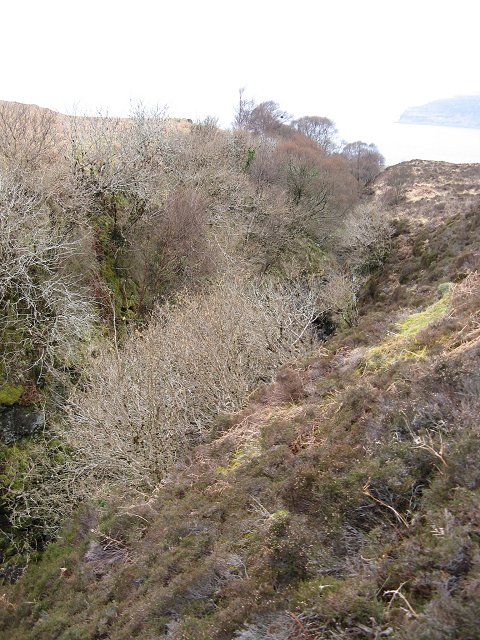
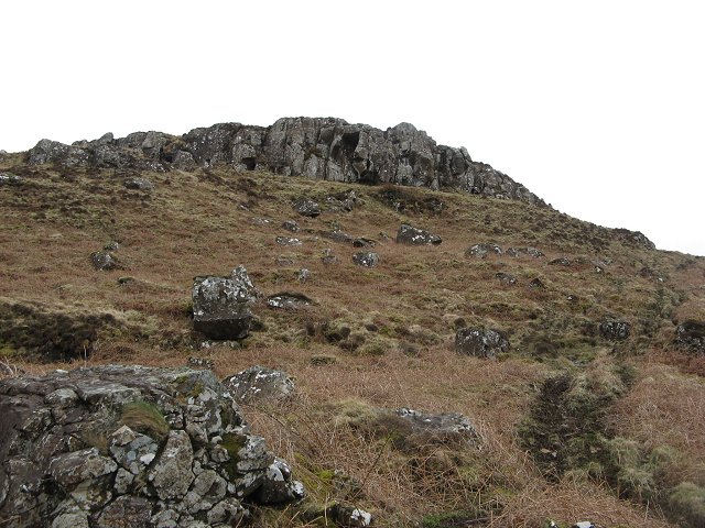
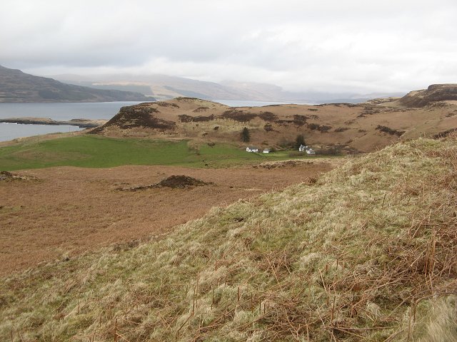
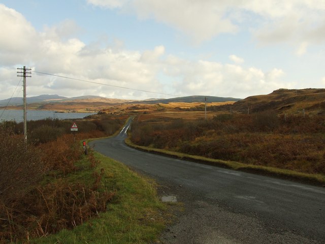
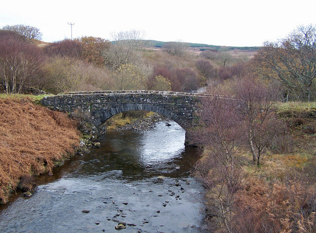
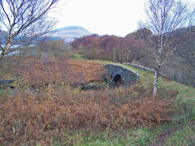
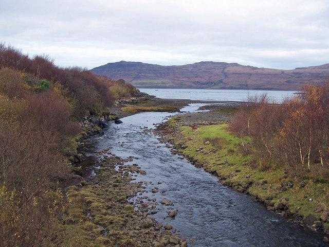
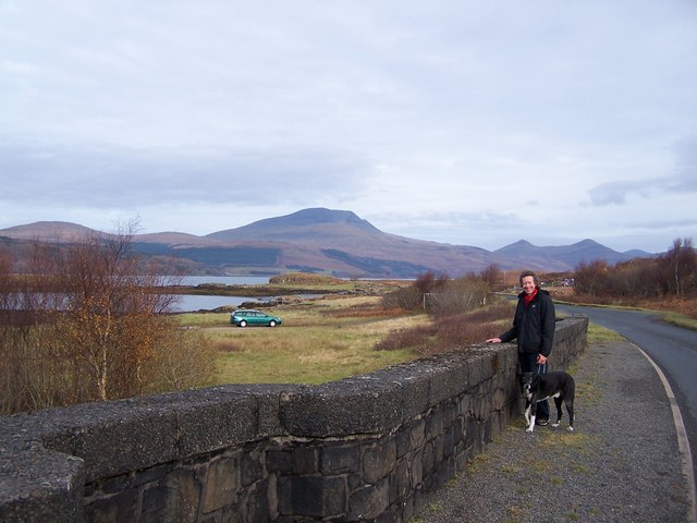
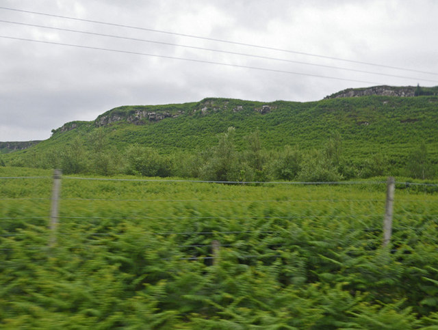
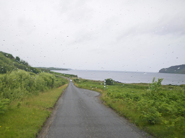
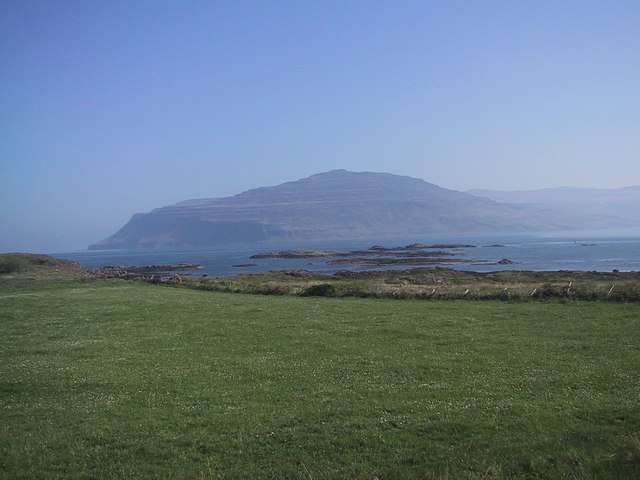
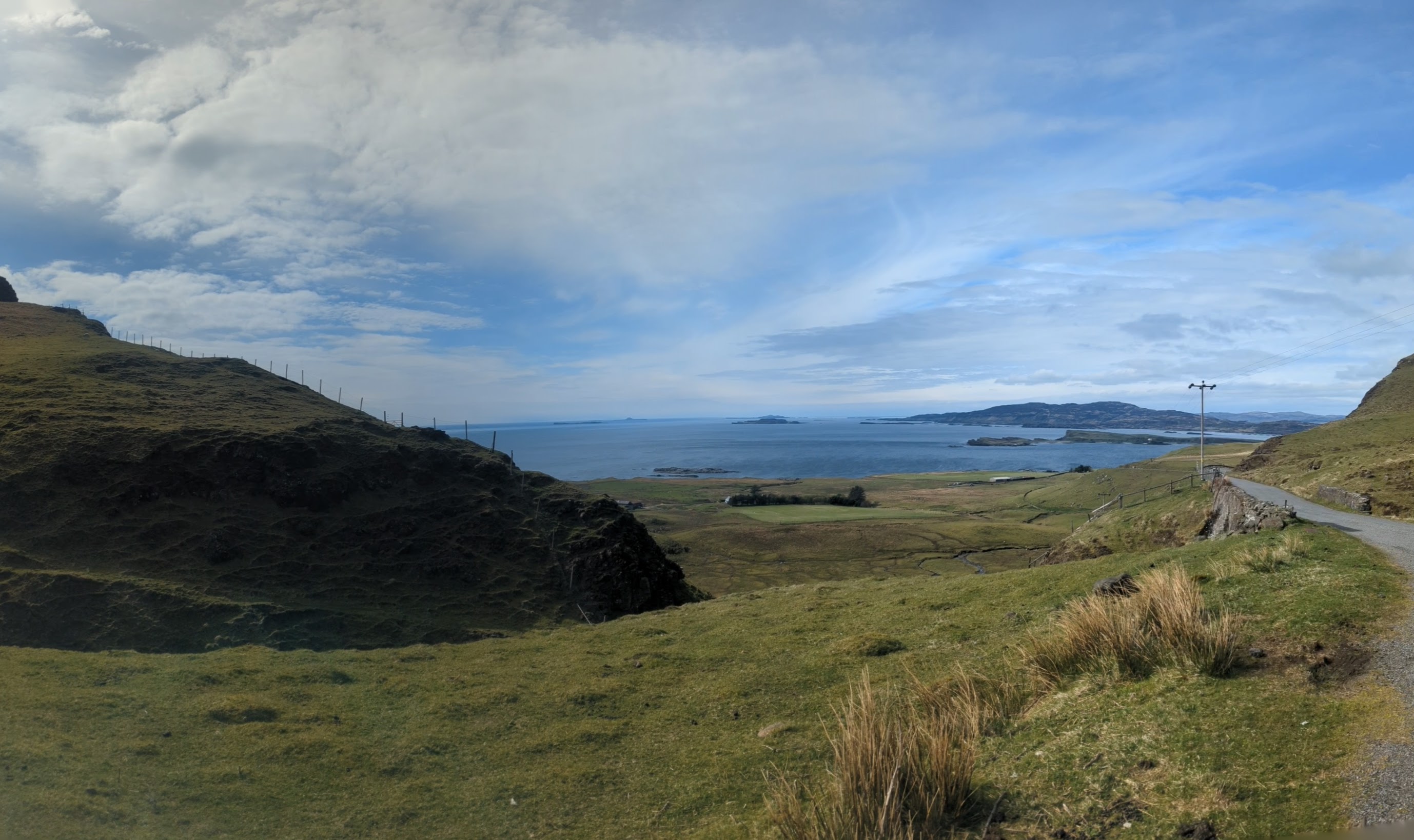
Port an Àird Fhada Images
Images are sourced within 2km of 56.345942/-6.125674 or Grid Reference NM4524. Thanks to Geograph Open Source API. All images are credited.
Port an Àird Fhada is located at Grid Ref: NM4524 (Lat: 56.345942, Lng: -6.125674)
Unitary Authority: Argyll and Bute
Police Authority: Argyll and West Dunbartonshire
What 3 Words
///rash.attitudes.running. Near Fionnphort, Argyll & Bute
Nearby Locations
Related Wikis
Loch Scridain
Loch Scridain is a 15-kilometre-long (9-mile) sea loch, with a west-south west aspect, on the western, or Atlantic coastline of the Isle of Mull, in the...

Tiroran
Tiroran is hamlet on the Isle of Mull in Argyll and Bute, Scotland. == History == In the late 18th century Tiroran House was associated with the McKinnon...

Knockan
Knockan (Scottish Gaelic: An Cnocan) is a township of six crofts in the community of Ardtun, in the south of the Isle of Mull off the west coast of Scotland...
Ardmeanach
Ardmeanach (Scottish Gaelic: Ard Meanach) is a peninsula on the Isle of Mull. It is the middle one out of three westward-facing peninsulas on the island...
Nearby Amenities
Located within 500m of 56.345942,-6.125674Have you been to Port an Àird Fhada?
Leave your review of Port an Àird Fhada below (or comments, questions and feedback).