Creag nan Caorann

Coastal Feature, Headland, Point in Argyllshire

Scotland

Creag nan Caorann

Beach, Isle of Mull Beach House has been inhabited for at least 300 years. Restored in the early 1990s, it had been a working farmhouse which had fallen into disrepair. Now there is just one main building with a few barns and a forest to the west with a small river. It is about 1 mile up the hill from the single track main road which, going east, leads on to Bunessan, Fionnphort and the Island of Iona at the southwestern tip of the Island of Mull. More pictures of Beach House can be found here: <span class="nowrap"><a title="http://bit.ly/Beach_Mull" rel="nofollow ugc noopener" href="http://bit.ly/Beach_Mull">Link</a><img style="margin-left:2px;" alt="External link" title="External link - shift click to open in new window" src="https://s1.geograph.org.uk/img/external.png" width="10" height="10"/></span>
Beach, Isle of Mull Credit: Ralph Averbuch

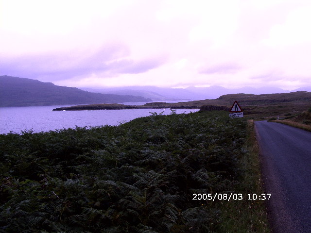
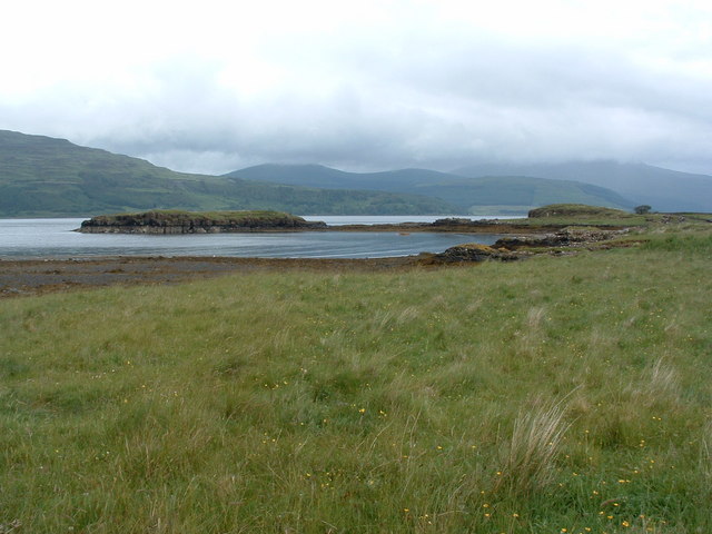
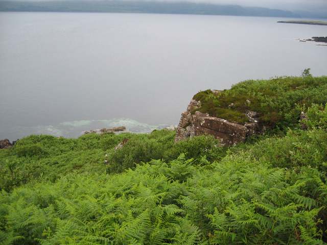
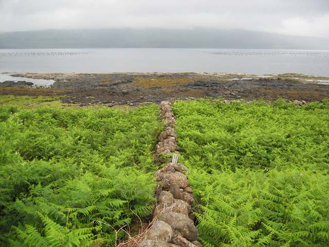
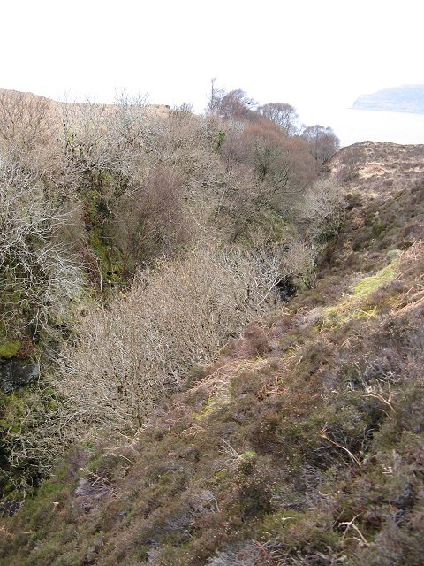
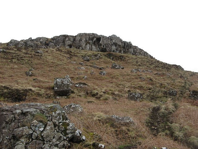
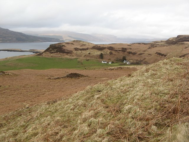
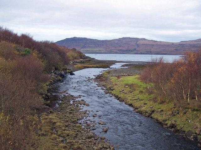
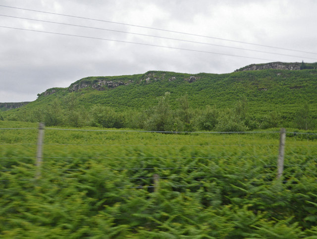
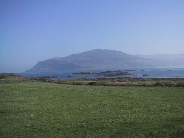
Creag nan Caorann is a coastal headland located in Argyllshire, Scotland. This rugged and picturesque point juts out into the Atlantic Ocean, offering stunning views of the surrounding sea and coastline. The headland is characterized by steep cliffs, rocky outcrops, and a variety of native flora and fauna.

The name Creag nan Caorann translates to "rock of the rowans" in Gaelic, a reference to the rowan trees that grow on the headland. These trees provide a burst of color against the dramatic backdrop of the cliffs and sea.

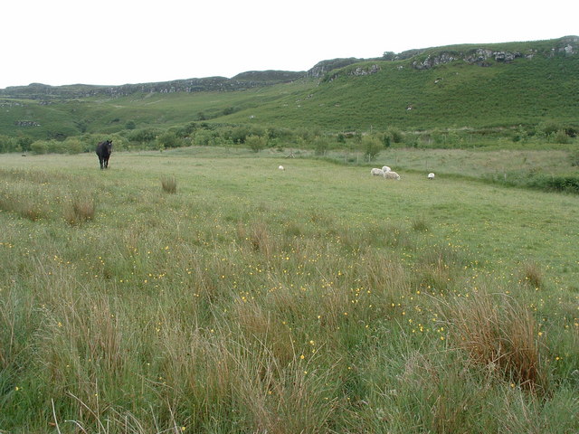
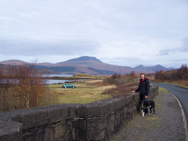
Creag nan Caorann is a popular spot for hiking and birdwatching, with many species of seabirds nesting on the cliffs and offshore rocks. Visitors can also enjoy fishing, picnicking, and taking in the breathtaking views of the surrounding landscape.

Overall, Creag nan Caorann is a beautiful and peaceful coastal feature that showcases the natural beauty of Argyllshire. Its unique geology, diverse wildlife, and stunning vistas make it a must-see destination for nature lovers and outdoor enthusiasts alike.

If you have any feedback on the listing, please let us know in the comments section below.

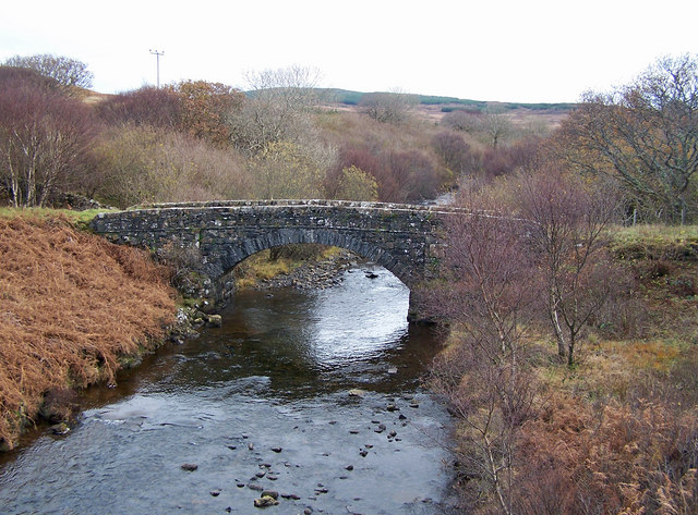
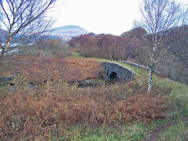
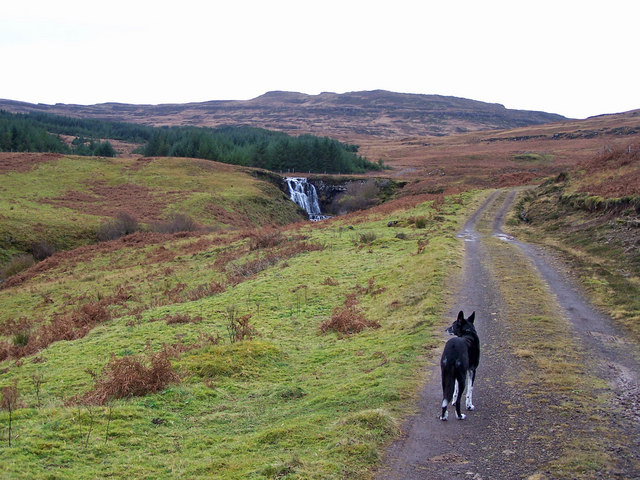
Creag nan Caorann Images

Images are sourced within 2km of 56.343204/-6.1247302 or Grid Reference NM4524. Thanks to Geograph Open Source API. All images are credited.

Beach, Isle of Mull Beach House has been inhabited for at least 300 years. Restored in the early 1990s, it had been a working farmhouse which had fallen into disrepair. Now there is just one main building with a few barns and a forest to the west with a small river. It is about 1 mile up the hill from the single track main road which, going east, leads on to Bunessan, Fionnphort and the Island of Iona at the southwestern tip of the Island of Mull. More pictures of Beach House can be found here: <span class="nowrap"><a title="http://bit.ly/Beach_Mull" rel="nofollow ugc noopener" href="http://bit.ly/Beach_Mull">Link</a><img style="margin-left:2px;" alt="External link" title="External link - shift click to open in new window" src="https://s1.geograph.org.uk/img/external.png" width="10" height="10"/></span>
Beach, Isle of Mull
Beach House has been inhabited for at least 300 years. Restored in the early 1990s, it had been a working farmhouse which had fallen into disrepair. Now there is just one main building with a few barns and a forest to the west with a small river. It is about 1 mile up the hill from the single track main road which, going east, leads on to Bunessan, Fionnphort and the Island of Iona at the southwestern tip of the Island of Mull. More pictures of Beach House can be found here: LinkExternal link
The shore of Loch Scridain, Ross of Mull The single track road, the A849 hugs the shore of this sea loch for much of its length across the Ross of Mull.
The shore of Loch Scridain, Ross of Mull
The single track road, the A849 hugs the shore of this sea loch for much of its length across the Ross of Mull.
Cnoc na coinnich The rock "step" at the top of the hill is the remains of ancient lava eruptions. Erosion has cleared the rock face showing on a small scale the typical stepped landscape seen on the south of Mull.
Cnoc na coinnich
The rock "step" at the top of the hill is the remains of ancient lava eruptions. Erosion has cleared the rock face showing on a small scale the typical stepped landscape seen on the south of Mull.
Aird Fada Small rocky outcrop on the south bank of Loch Scridain
Aird Fada
Small rocky outcrop on the south bank of Loch Scridain
Bridges over the Beach river
Outcrop above Port Mor On the south shore of Loch Scridain.
Outcrop above Port Mor
On the south shore of Loch Scridain.
Wall by Loch Scridain Almost hidden in deep bracken.
Wall by Loch Scridain
Almost hidden in deep bracken.
Old bridge on Beach River
Allt Mòr Deep ravine where a burn has worn away weaker dyke rock. The trees can survive on the crags away from the sheep and deer.
Allt Mòr
Deep ravine where a burn has worn away weaker dyke rock. The trees can survive on the crags away from the sheep and deer.
Cnoc na Coinnich Crags caused by lava flows during Mull's volcanic era. Each flood of lava has left a step on the landscape, hence the term trap landscape - supposedly from Swedish, but "trap" is also an English word for step.
Cnoc na Coinnich
Crags caused by lava flows during Mull's volcanic era. Each flood of lava has left a step on the landscape, hence the term trap landscape - supposedly from Swedish, but "trap" is also an English word for step.
Ormsaig A collection of buildings, some self catering cottages. The hill behind the houses has been replanted with trees.
Ormsaig
A collection of buildings, some self catering cottages. The hill behind the houses has been replanted with trees.
A849 Isle of Mull near Port An Aird Fhada A849 looking east from the start of the track that leads down to the mussel farm at Port An Aird Fhada.
A849 Isle of Mull near Port An Aird Fhada
A849 looking east from the start of the track that leads down to the mussel farm at Port An Aird Fhada.
Old bridge over Beach River I submit this image, taken in November, to contrast with John Allan's view from the same spot taken in summer <a href="https://www.geograph.org.uk/photo/198492">NM4624 : Old bridge on Beach River</a>.
Old bridge over Beach River
I submit this image, taken in November, to contrast with John Allan's view from the same spot taken in summer NM4624 : Old bridge on Beach River.
Same bridge, different viewpoint The old bridge over Beach River seen from the track into Gleann Airigh.
Same bridge, different viewpoint
The old bridge over Beach River seen from the track into Gleann Airigh.
Beach River Viewed from the road bridge, the river is entering Loch Scridain.
Beach River
Viewed from the road bridge, the river is entering Loch Scridain.
Track approaching Eas Mor Above the hamlet of Beach.
Track approaching Eas Mor
Above the hamlet of Beach.
New(er) bridge over Beach River The view beyond is over Loch Scridain towards Ben More - the highest mountain on Mull.
The character holding Basil-the-dog is ME - the picture is taken by my wife, Sue.
New(er) bridge over Beach River
The view beyond is over Loch Scridain towards Ben More - the highest mountain on Mull. The character holding Basil-the-dog is ME - the picture is taken by my wife, Sue.
Verdant meadow and ridge slopes along the A849 Road Photographer is positioned at the edge of the A849 Road.
Verdant meadow and ridge slopes along the A849 Road
Photographer is positioned at the edge of the A849 Road.
Show me another place!

Creag nan Caorann is located at Grid Ref: NM4524 (Lat: 56.343204, Lng: -6.1247302)

Unitary Authority: Argyll and Bute

Police Authority: Argyll and West Dunbartonshire

What 3 Words

///tiny.counters.lyrics. Near Fionnphort, Argyll & Bute

Related Wikis

Loch Scridain

Loch Scridain is a 15-kilometre-long (9-mile) sea loch, with a west-south west aspect, on the western, or Atlantic coastline of the Isle of Mull, in the...

Tiroran

Tiroran is hamlet on the Isle of Mull in Argyll and Bute, Scotland. == History == In the late 18th century Tiroran House was associated with the McKinnon...

Knockan

Knockan (Scottish Gaelic: An Cnocan) is a township of six crofts in the community of Ardtun, in the south of the Isle of Mull off the west coast of Scotland...

Ardmeanach

Ardmeanach in modern times refers to a peninsula on the Isle of Mull. It is the middle one out of three westward-facing peninsulas on the island, and the...

Nearby Amenities

Located within 500m of 56.343204,-6.1247302
Clachan Falbhainn
Place: hamlet
Lat/Long: 56.3387359/-6.1250518
Power: pole
Lat/Long: 56.342167/-6.1172725
Power: pole
Lat/Long: 56.3423216/-6.1186324
Power: pole
Lat/Long: 56.3424502/-6.120117
Power: pole
Lat/Long: 56.3419448/-6.1212704
Power: pole
Lat/Long: 56.3416282/-6.1219731
Power: pole
Lat/Long: 56.3407184/-6.1240572
Power: pole
Lat/Long: 56.3401638/-6.1253151
Power: pole
Lat/Long: 56.3397803/-6.1261949
Power: pole
Lat/Long: 56.3392042/-6.1274998
Power: pole
Lat/Long: 56.3429152/-6.122345
Power: pole
Lat/Long: 56.3424223/-6.1218505
The data included in this document is from www.openstreetmap.org. The data is made available under ODbL.

Have you been to Creag nan Caorann?

Leave your review of Creag nan Caorann below (or comments, questions and feedback).