Sàilean Mosach

Bay in Argyllshire

Scotland

Sàilean Mosach

Farm track near Lagganulva
Farm track near Lagganulva Credit: Steven Brown

Sàilean Mosach, located in Argyllshire, Scotland, is a picturesque bay renowned for its stunning natural beauty and rich history. Situated on the west coast of Scotland, this bay offers visitors a unique blend of rugged landscapes, pristine beaches, and charming villages.

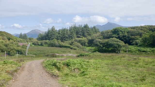
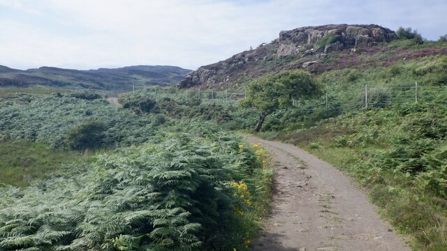
The bay is characterized by its dramatic cliffs that provide breathtaking panoramic views of the surrounding countryside. The rocky shores are home to a diverse range of marine life, making it a popular spot for nature lovers and birdwatchers. Visitors can often spot seals lounging on the rocks or catch a glimpse of dolphins frolicking in the crystal-clear waters.

The bay is also steeped in history. It has been inhabited since ancient times, and remnants of ancient settlements can still be found scattered across the area. The nearby village of Sàilean Mosach offers a glimpse into the region's past, with its quaint cottages and traditional Scottish charm.

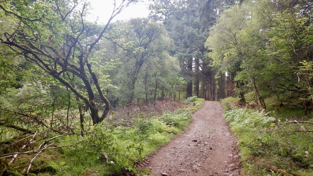
Outdoor enthusiasts will find plenty to explore in Sàilean Mosach. The bay is a gateway to the stunning Argyll Forest Park, where visitors can embark on scenic hikes, mountain biking trails, or enjoy a leisurely stroll through ancient woodlands. The bay also offers opportunities for water sports such as kayaking, paddleboarding, and sailing.

Whether you're looking to immerse yourself in nature, uncover the area's history, or simply relax on a tranquil beach, Sàilean Mosach in Argyllshire is a must-visit destination. Its natural beauty and rich heritage make it an ideal spot for those seeking a unique and unforgettable experience in Scotland.

If you have any feedback on the listing, please let us know in the comments section below.

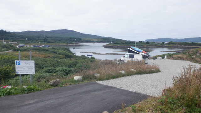
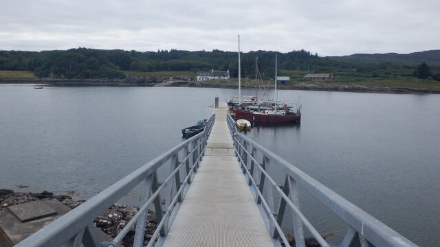
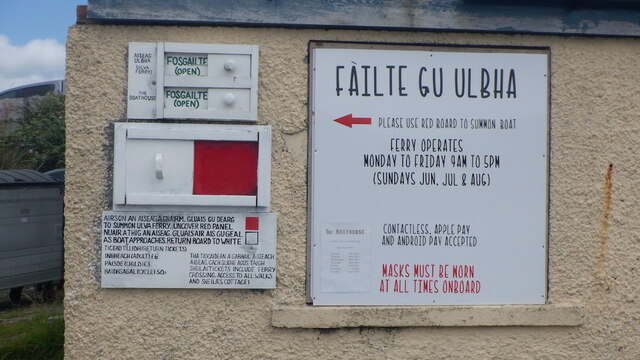
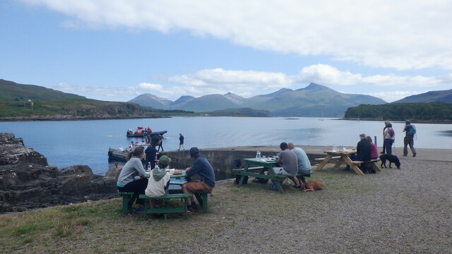
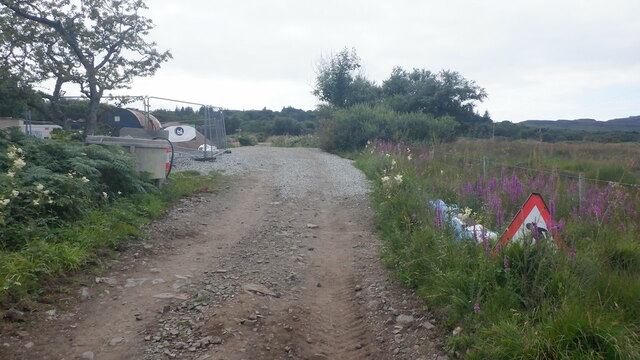
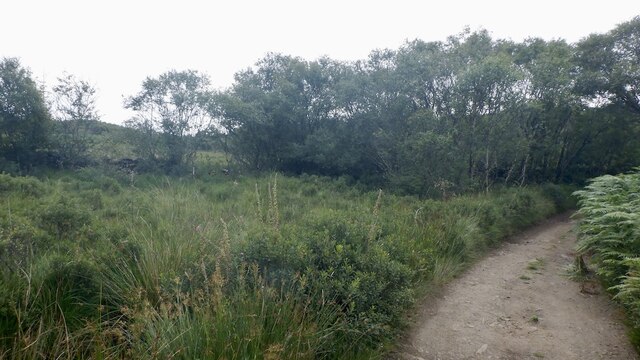
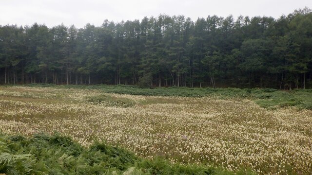
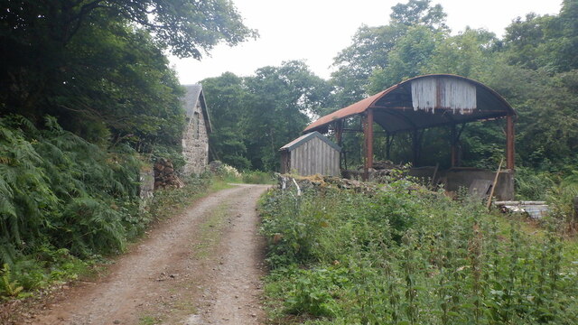
Sàilean Mosach Images

Images are sourced within 2km of 56.48016/-6.1417284 or Grid Reference NM4539. Thanks to Geograph Open Source API. All images are credited.

Farm track near Lagganulva
Camper van park, Ulva Ferry Room for 5 of the wee darlings.  The sort of facility that is noticeable by its absence in Scotland.
Camper van park, Ulva Ferry
Room for 5 of the wee darlings. The sort of facility that is noticeable by its absence in Scotland.
New pontoon, Ulva Ferry Investment by the community owners of Ulva and a fair bit of Northwest Mull.
New pontoon, Ulva Ferry
Investment by the community owners of Ulva and a fair bit of Northwest Mull.
Calling the ferry
Calling the ferry
Outside the Boathouse, Ulva
Roadworks, Ulva Contractor's compound ahead with work ongoing to the Big House and renovating and building new homes.
Roadworks, Ulva
Contractor's compound ahead with work ongoing to the Big House and renovating and building new homes.
Wetland, Ulva Rough ground near the ferry. The track is the main road on the island leading eventually to the Gometra bridge as well as serving houses on the east side of the island.
Wetland, Ulva
Rough ground near the ferry. The track is the main road on the island leading eventually to the Gometra bridge as well as serving houses on the east side of the island.
Meadowsweet, Ulva Below Coille a' Mhinisteir
Meadowsweet, Ulva
Below Coille a' Mhinisteir
Farm buildings, Ulva It is hoped to resume farming on the island, but not as just one large holding. In 2021 there were some Highland cattle grazing the hill.
Farm buildings, Ulva
It is hoped to resume farming on the island, but not as just one large holding. In 2021 there were some Highland cattle grazing the hill.
Road, Ulva The main road on the island which runs along the north coast to Gometra.
Road, Ulva
The main road on the island which runs along the north coast to Gometra.
Ulva's main road
Ulva's main road
Road on Ulva Passing an enclosed area with young trees.
Road on Ulva
Passing an enclosed area with young trees.
B8073 near Oskamull
B8073 near Oskamull
B8073 towards Ulva
B8073 towards Ulva
Summoning the Ferry To summon the ferry on the 200m crossing from the Isle of Mull to Ulva you slide the board across to reveal the red panel and then slide it back once the little ferry sets off from the other side of the channel. Sadly although the ferry runs throughout the year The Boathouse restaurant is closed for the season.
Summoning the Ferry
To summon the ferry on the 200m crossing from the Isle of Mull to Ulva you slide the board across to reveal the red panel and then slide it back once the little ferry sets off from the other side of the channel. Sadly although the ferry runs throughout the year The Boathouse restaurant is closed for the season.
Laggan Bay, Mull Looking out towards Eilean Garbh and beyond to Ulva on the horizon
Laggan Bay, Mull
Looking out towards Eilean Garbh and beyond to Ulva on the horizon
Open Rough Ground, Ardalum House With the 391m hill of Cnoc an da Chinn in the distance.
Open Rough Ground, Ardalum House
With the 391m hill of Cnoc an da Chinn in the distance.
Cottongrass, Rubh' a' Chaolais Chumhaing Taken after a hike into the grid square from the Ulva Ferry road. Loch Tuath is in the distance.
Cottongrass, Rubh' a' Chaolais Chumhaing
Taken after a hike into the grid square from the Ulva Ferry road. Loch Tuath is in the distance.
Show me another place!

Sàilean Mosach is located at Grid Ref: NM4539 (Lat: 56.48016, Lng: -6.1417284)

Unitary Authority: Argyll and Bute

Police Authority: Argyll and West Dunbartonshire

What 3 Words

///irritable.tradition.allergy. Near Dervaig, Argyll & Bute

Related Wikis

Ulva Ferry

Ulva Ferry (Scottish Gaelic: Caolas Ulbha) is a hamlet on the Hebridean island of Mull, on its west coast. Ulva Ferry is on the shore of Ulva Sound (Caolas...

Samalan Island

Samalan Island is a small island, just off the Isle of Mull at the mouth of Loch na Keal in the Inner Hebrides, Scotland. To its south west is the island...

Eorsa

Eorsa is an uninhabited island in the Inner Hebrides of Scotland. == Geography == Eorsa lies in Loch na Keal on the west coast of the Isle of Mull, to...

Ulva

Ulva (; Scottish Gaelic: Ulbha) is a small island in the Inner Hebrides of Scotland, off the west coast of Mull. It is separated from Mull by a narrow...

Nearby Amenities

Located within 500m of 56.48016,-6.1417284
Created By: dmgroom_coastlines
Source: PGS
Lat/Long: 56.4766/-6.14661
Source: PGS
Lat/Long: 56.4768126/-6.146113
Source: PGS
Lat/Long: 56.4769241/-6.1459417
Source: PGS
Lat/Long: 56.4770945/-6.1459328
Source: PGS
Lat/Long: 56.4772294/-6.1456692
Source: PGS
Lat/Long: 56.4772153/-6.145448
Created By: dmgroom_coastlines
Source: PGS
Lat/Long: 56.47695/-6.14497
Created By: dmgroom_coastlines
Source: PGS
Lat/Long: 56.47668/-6.14452
Source: PGS
Lat/Long: 56.4763245/-6.1440934
Source: PGS
Lat/Long: 56.4762285/-6.1437755
Created By: dmgroom_coastlines
Source: PGS
Lat/Long: 56.47602/-6.14342
Ulva Ferry
Name Gd: Caolas Ulbha
Place: hamlet
Wikidata: Q7880835
Wikipedia: en:Ulva Ferry
Lat/Long: 56.4826697/-6.1452737
Passing Place
Lat/Long: 56.483304/-6.1423415
Àrd na Caillich
Natural: cape
Lat/Long: 56.4767779/-6.1455673
Power: pole
Lat/Long: 56.4845697/-6.141215
Power: pole
Lat/Long: 56.4842585/-6.1420185
Power: pole
Lat/Long: 56.4839234/-6.1426844
Power: pole
Lat/Long: 56.4841861/-6.143144
Power: pole
Lat/Long: 56.4841145/-6.1442959
Power: pole
Lat/Long: 56.4840588/-6.1454475
Power: pole
Lat/Long: 56.4833266/-6.1472361
Power: pole
Lat/Long: 56.4827801/-6.1479819
Power: pole
Lat/Long: 56.4823876/-6.1484613
Power: pole
Lat/Long: 56.4820018/-6.1484733
Passing Place
Lat/Long: 56.4839984/-6.1389496
The data included in this document is from www.openstreetmap.org. The data is made available under ODbL.

Have you been to Sàilean Mosach?

Leave your review of Sàilean Mosach below (or comments, questions and feedback).