Port an t-Sruthain
Bay in Argyllshire
Scotland
Port an t-Sruthain
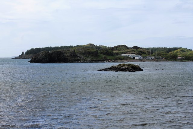
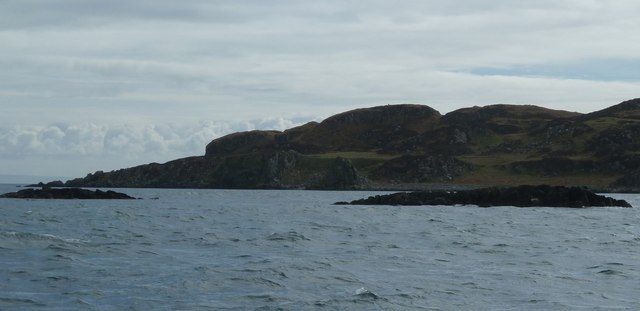
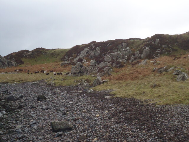
Port an t-Sruthain, also known as Strone Bay, is a picturesque coastal area located in Argyllshire, Scotland. Situated on the western shores of the Cowal Peninsula, it offers breathtaking views of the Firth of Clyde and the surrounding hills.
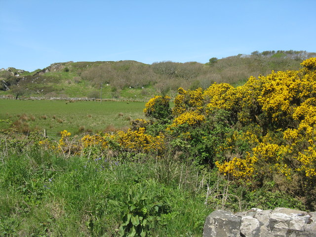
The bay is characterized by its tranquil atmosphere and unspoiled natural beauty. Its sandy beach, which stretches along the shoreline, provides a perfect spot for relaxation and leisure activities. Visitors can enjoy sunbathing, picnicking, or taking leisurely walks, while taking in the stunning views of the crystal-clear waters and the distant hills.
Port an t-Sruthain is also a popular destination for water sports enthusiasts. The bay's calm waters make it an ideal location for activities such as kayaking, sailing, and paddleboarding. Fishing is also a common pastime in the area, with anglers attracted by the abundance of fish in the bay.
The bay is surrounded by lush greenery and rolling hills, making it a haven for nature lovers and hikers. There are several walking trails that wind through the countryside, offering breathtaking views of the bay and its surroundings. Wildlife enthusiasts can spot a variety of bird species, including herons and oystercatchers, as well as occasional sightings of seals and dolphins in the bay.
In addition to its natural beauty, Port an t-Sruthain offers a range of amenities to cater to visitors' needs. There are nearby accommodation options, including cozy guesthouses and self-catering cottages, as well as a selection of cafes and restaurants serving delicious local cuisine.
Overall, Port an t-Sruthain is a hidden gem in Argyllshire, offering a peaceful and idyllic coastal retreat for those seeking a break from the hustle and bustle of city life.
If you have any feedback on the listing, please let us know in the comments section below.
Port an t-Sruthain Images
Images are sourced within 2km of 55.616469/-6.140538 or Grid Reference NR3943. Thanks to Geograph Open Source API. All images are credited.
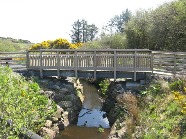
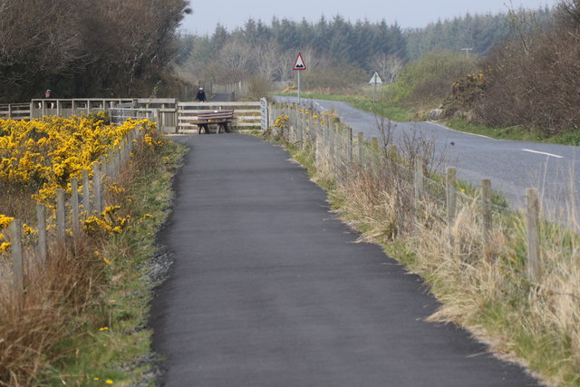
![Footpath over the Surnaig River Between the Laphroaig and Lagavulin distilleries alongside the road [A846], which is very busy with tourists visiting the distilleries, so the path is separated from the road.](https://s0.geograph.org.uk/geophotos/05/78/32/5783244_7a057f30.jpg)
Port an t-Sruthain is located at Grid Ref: NR3943 (Lat: 55.616469, Lng: -6.140538)
Unitary Authority: Argyll and Bute
Police Authority: Argyll and West Dunbartonshire
What 3 Words
///plug.guard.contracting. Near Port Ellen, Argyll & Bute
Nearby Locations
Related Wikis

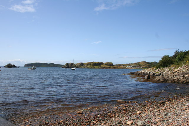
Texa
Texa (Scottish Gaelic: Teacsa) is a small island 700 metres (3⁄8 mile) directly south of Islay, in the Inner Hebrides, Scotland. It reaches a height of...

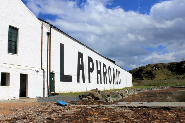
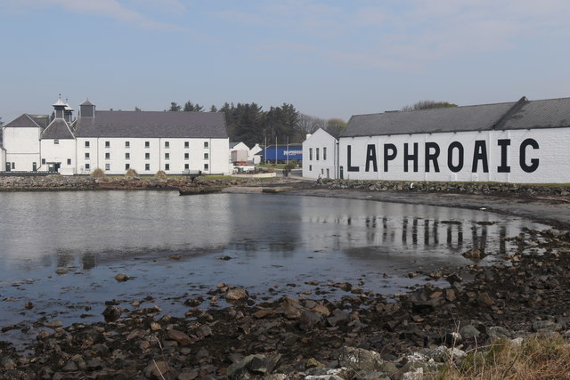
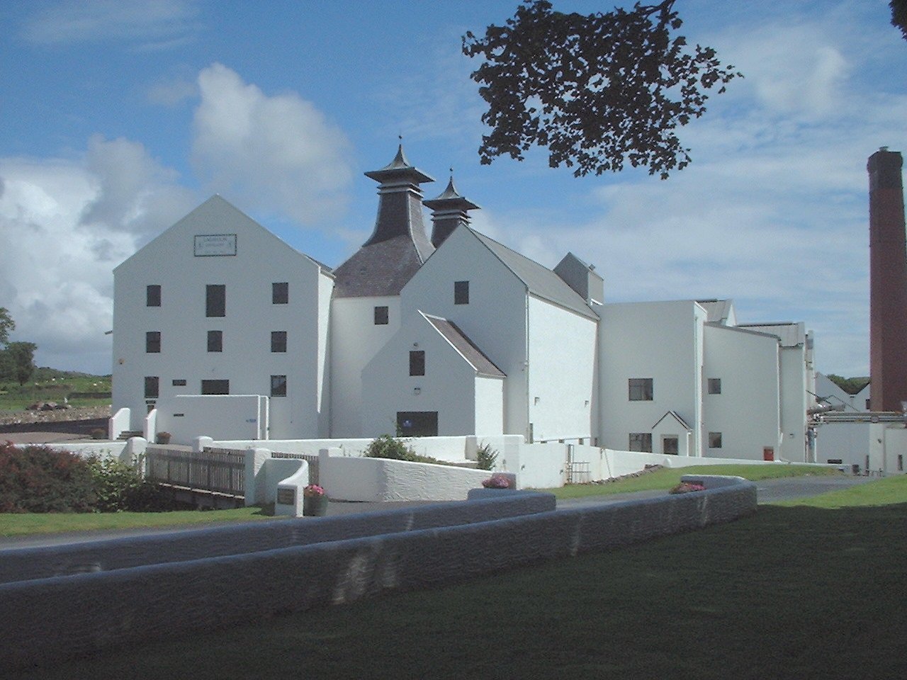
Laphroaig distillery
Laphroaig distillery ( lə-FROYG) is an Islay single malt Scotch whisky distillery. It is named after the area of land at the head of Loch Laphroaig on...

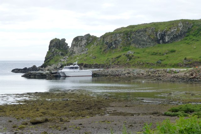
Lagavulin Bay
Lagavulin Bay is a bay on the south of Islay, Scotland. Directly in this bay lies the Lagavulin distillery. The name Lagavulin is an anglicisation of Lag...

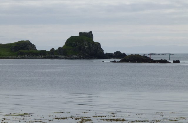
Dunyvaig Castle
Dunyvaig Castle, (Scottish Gaelic: Dùn Naomhaig, Anglicised Fort of the galleys, also known as Dunnyveg) is located on the south side of Islay, in Argyll...
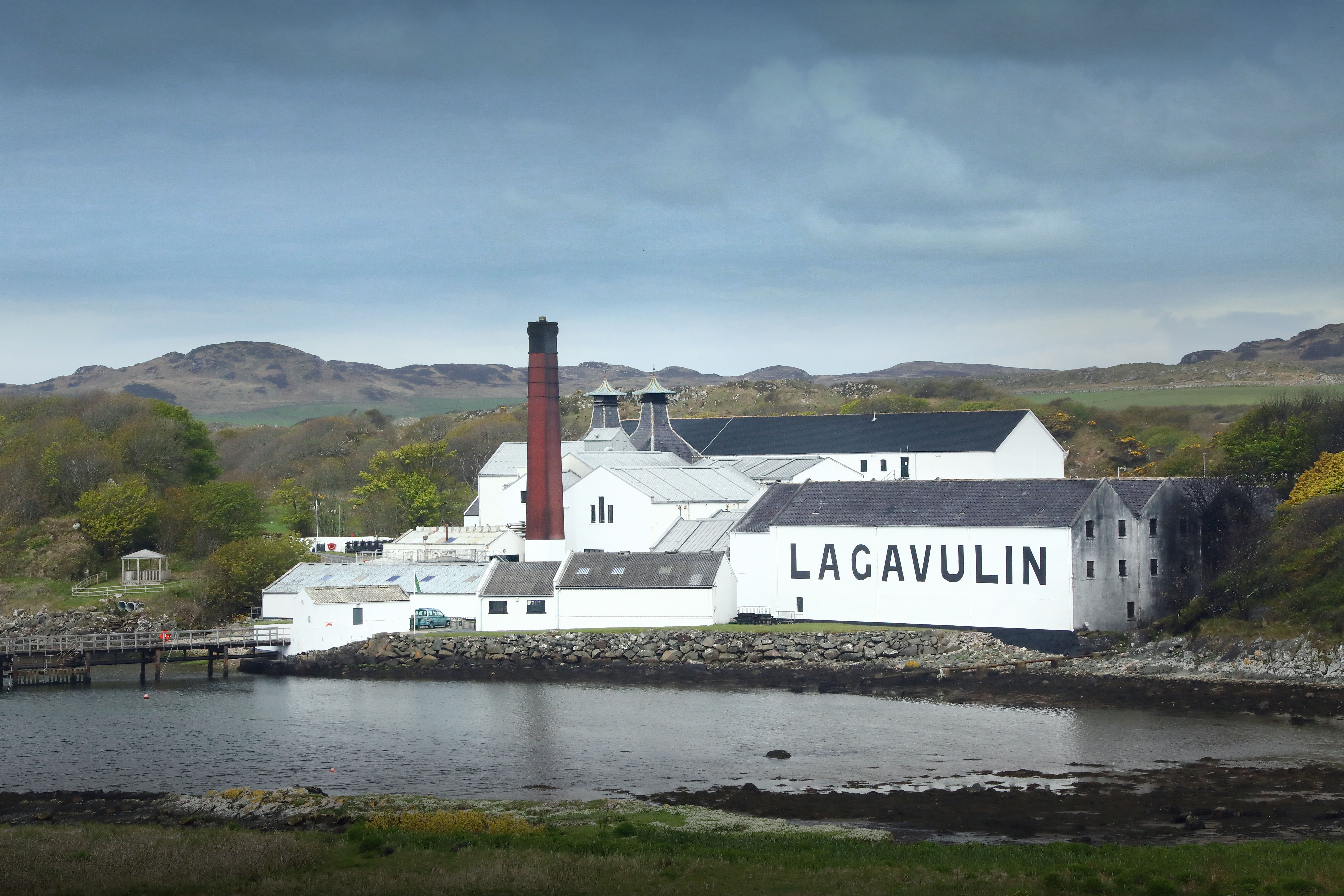
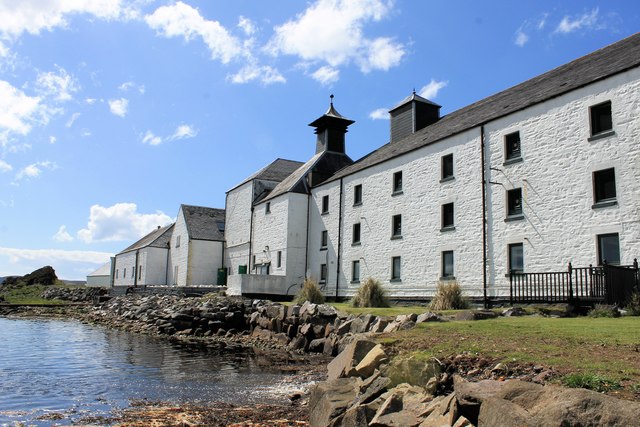
Lagavulin distillery
Lagavulin distillery is a malt whisky distillery in the village of Lagavulin on the south of the island of Islay, Scotland. It distills spirit that will...
Lagavulin
Lagavulin (Scottish Gaelic: Lag a' Mhuilinn, "hollow of the mill") is a small village approximately 3 miles (5 kilometres) outside Port Ellen on the Isle...

Ardbeg, Islay
Ardbeg (Scottish Gaelic: An Àird Bheag) is a small settlement on southern coast of the island of Islay off the west coast of Scotland. It is around 3 miles...

Port Ellen
Port Ellen (Scottish Gaelic: Port Ìlein) is a small town on the island of Islay, in Argyll, Scotland. The town is named after the wife of its founder,...
Nearby Amenities
Located within 500m of 55.616469,-6.140538Have you been to Port an t-Sruthain?
Leave your review of Port an t-Sruthain below (or comments, questions and feedback).