An Lòn
Sea, Estuary, Creek in Argyllshire
Scotland
An Lòn
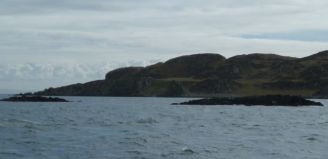
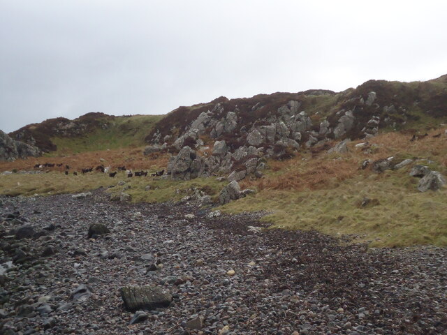
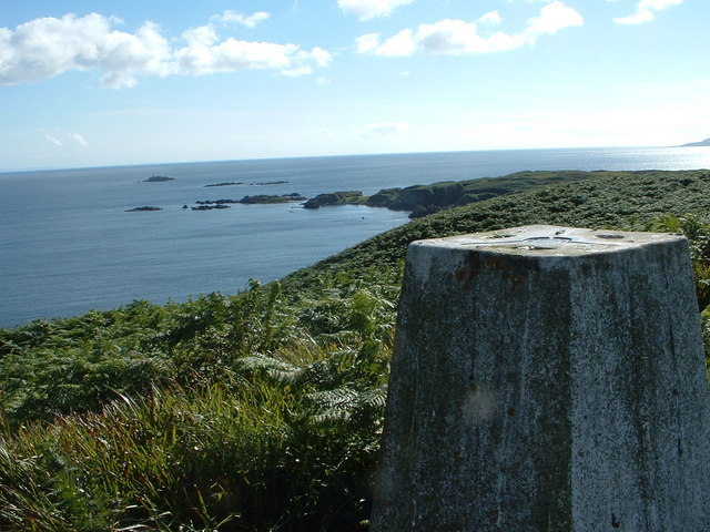
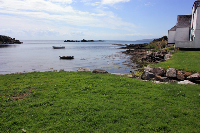
An Lòn is a picturesque coastal area located in Argyllshire, Scotland. It is situated on the western coast of the country, overlooking the Atlantic Ocean. The name "An Lòn" translates to "the pool" in Scottish Gaelic, which is a fitting description for this beautiful sea, estuary, and creek combination.
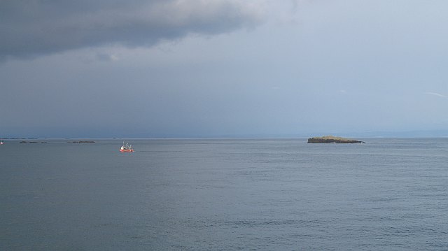
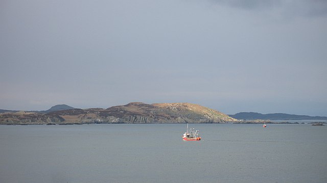
The area is known for its stunning natural beauty, with rugged cliffs, rocky shores, and crystal-clear waters. The Atlantic Ocean creates a dramatic backdrop, with waves crashing against the shoreline and providing a mesmerizing spectacle. The sea in An Lòn is often teeming with marine life, including seals and various species of seabirds.
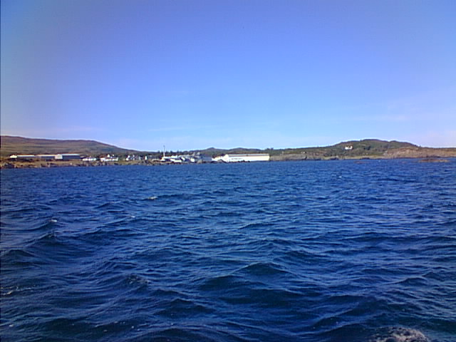
An Lòn is also home to an estuary, which is formed by the convergence of a river and the sea. This creates a unique ecosystem, where freshwater and saltwater mix, resulting in a diverse range of flora and fauna. The estuary is an important habitat for many species of fish and birds, and it is a popular spot for birdwatchers and nature enthusiasts.
A creek, or small inlet, can also be found in An Lòn. This narrow body of water provides a sheltered area for boats and is often used by local fishermen and recreational boaters. The creek is surrounded by lush vegetation, adding to the area's natural charm.
Overall, An Lòn is a captivating coastal area that showcases the raw beauty of Scotland's western coastline. Its combination of sea, estuary, and creek offers a rich and diverse ecosystem, making it a haven for wildlife and a delight for visitors to explore.
If you have any feedback on the listing, please let us know in the comments section below.
An Lòn Images
Images are sourced within 2km of 55.613238/-6.1416588 or Grid Reference NR3943. Thanks to Geograph Open Source API. All images are credited.
An Lòn is located at Grid Ref: NR3943 (Lat: 55.613238, Lng: -6.1416588)
Unitary Authority: Argyll and Bute
Police Authority: Argyll and West Dunbartonshire
What 3 Words
///airless.mimics.outwards. Near Port Ellen, Argyll & Bute
Nearby Locations
Related Wikis

Texa
Texa (Scottish Gaelic: Teacsa) is a small island 700 metres (3⁄8 mile) directly south of Islay, in the Inner Hebrides, Scotland. It reaches a height of...

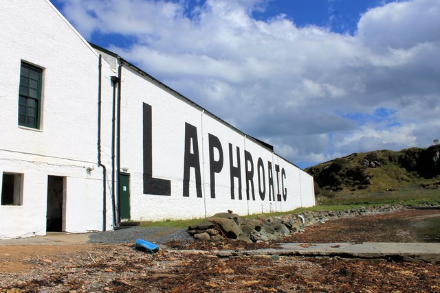
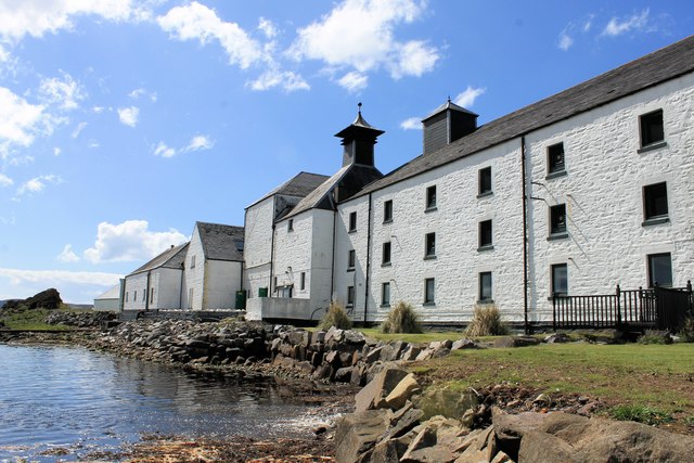
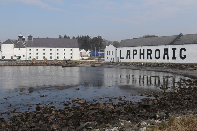
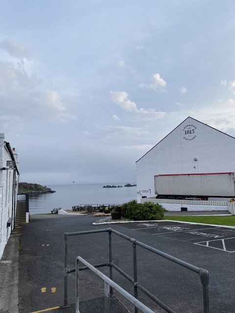
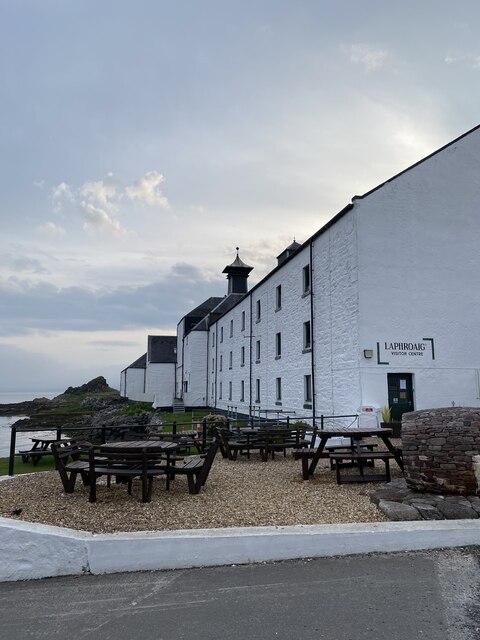
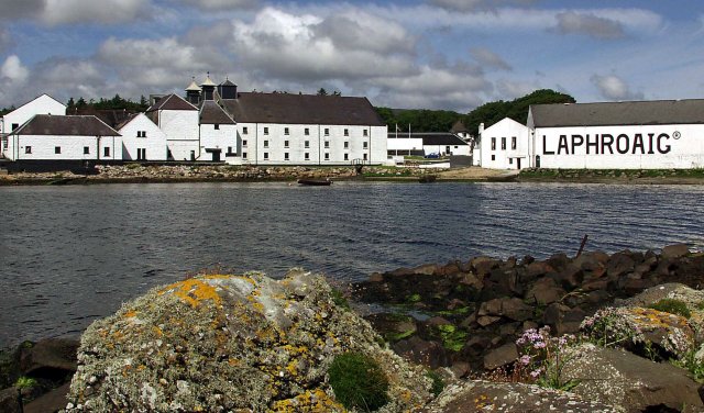
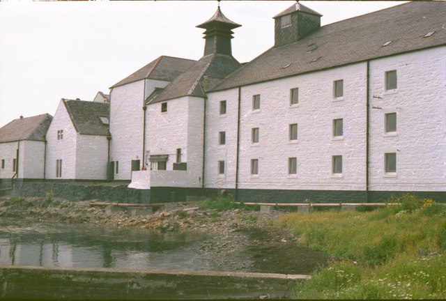
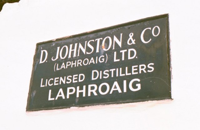
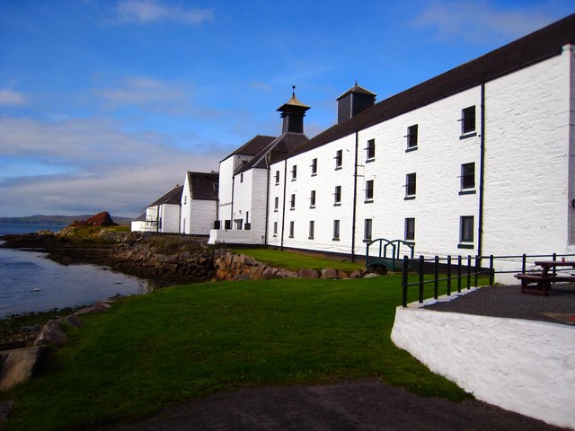
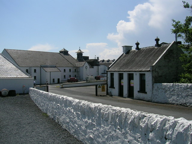
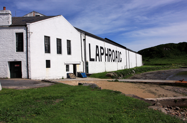
Laphroaig distillery
Laphroaig distillery ( lə-FROYG) is an Islay single malt Scotch whisky distillery. It is named after the area of land at the head of Loch Laphroaig on...

Lagavulin Bay
Lagavulin Bay is a bay on the south of Islay, Scotland. Directly in this bay lies the Lagavulin distillery. The name Lagavulin is an anglicisation of Lag...

Dunyvaig Castle
Dunyvaig Castle, (Scottish Gaelic: Dùn Naomhaig, Anglicised Fort of the galleys, also known as Dunnyveg) is located on the south side of Islay, in Argyll...
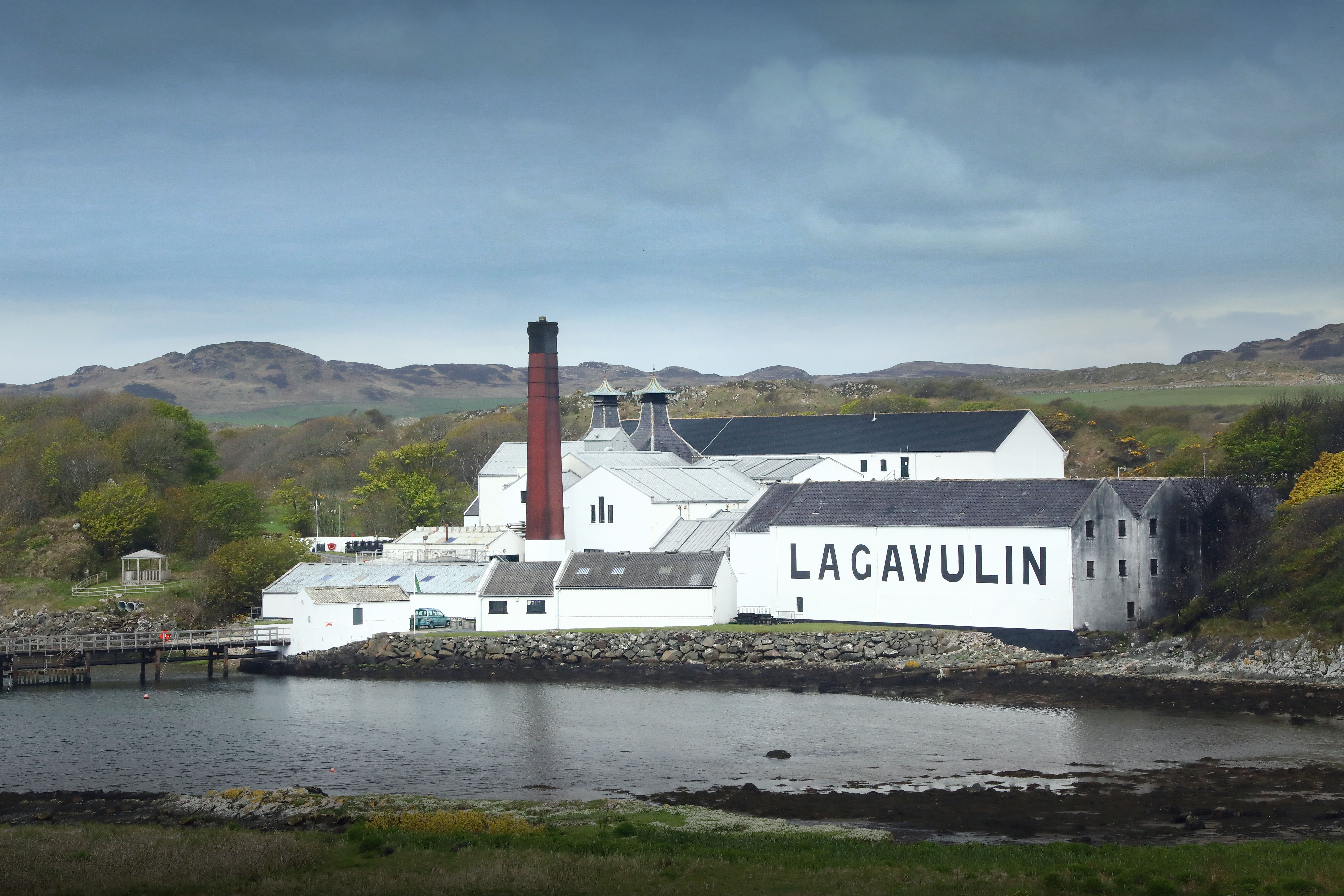
Lagavulin distillery
Lagavulin distillery is a malt whisky distillery in the village of Lagavulin on the south of the island of Islay, Scotland. It distills spirit that will...
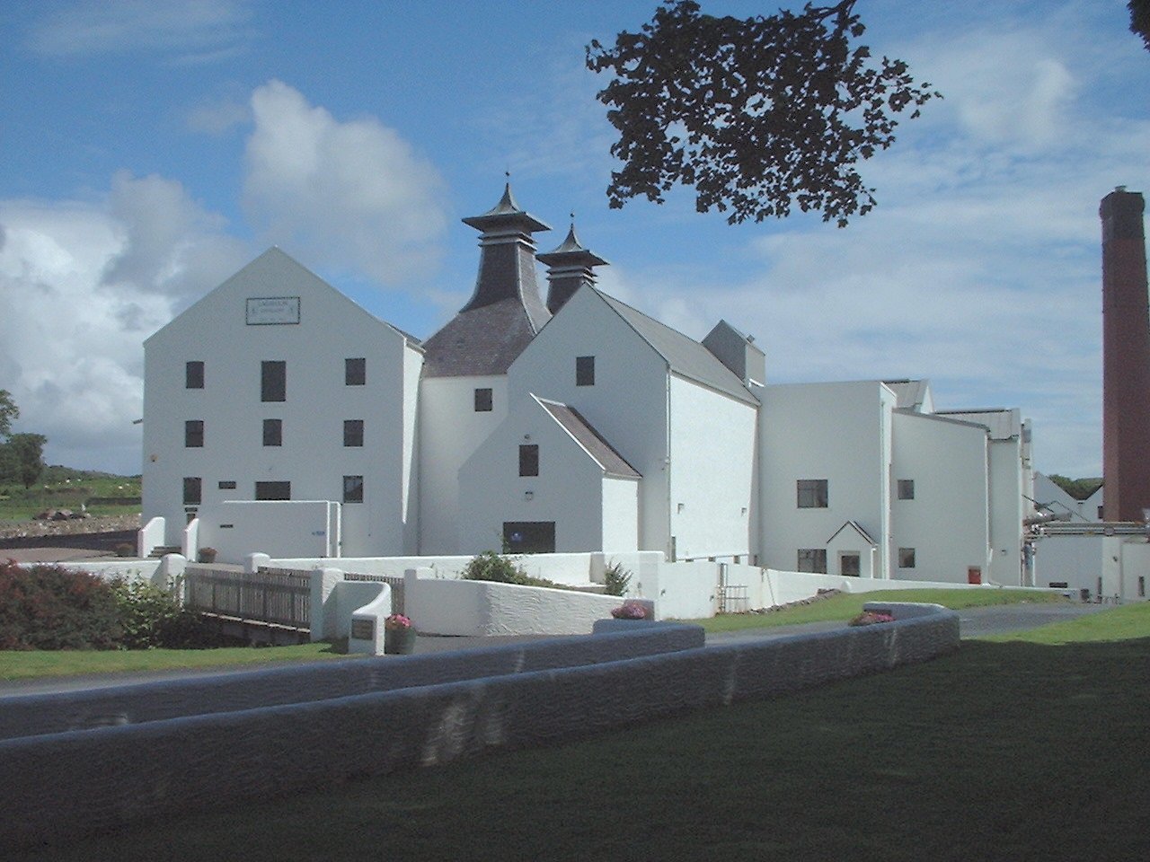
Lagavulin
Lagavulin (Scottish Gaelic: Lag a' Mhuilinn, "hollow of the mill") is a small village approximately 3 miles (5 kilometres) outside Port Ellen on the Isle...

Ardbeg, Islay
Ardbeg (Scottish Gaelic: An Àird Bheag) is a small settlement on southern coast of the island of Islay off the west coast of Scotland. It is around 3 miles...

Port Ellen
Port Ellen (Scottish Gaelic: Port Ìlein) is a small town on the island of Islay, in Argyll, Scotland. The town is named after the wife of its founder,...
Nearby Amenities
Located within 500m of 55.613238,-6.1416588Have you been to An Lòn?
Leave your review of An Lòn below (or comments, questions and feedback).