Eilean an Lòin
Island in Argyllshire
Scotland
Eilean an Lòin
Eilean an Lòin, also known as Island of the Marsh, is a small island located in Argyllshire, Scotland. It is situated in Loch Lomond, the largest inland stretch of water in Great Britain. The island is approximately 0.4 hectares in size and is uninhabited.
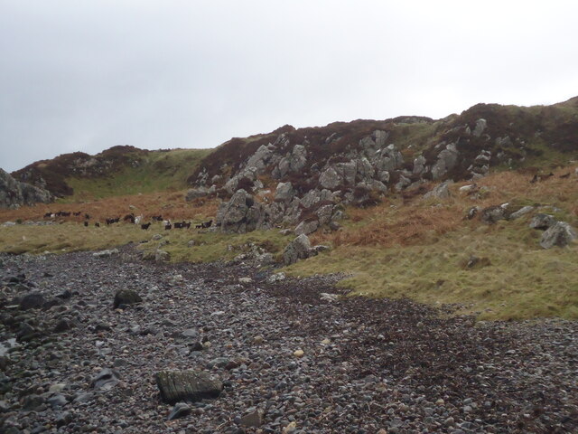
Eilean an Lòin is known for its lush marshland and diverse wildlife. The island is covered in dense vegetation, including reeds, grasses, and wildflowers, providing a habitat for a variety of bird species. It is particularly popular among birdwatchers, who visit the island to catch a glimpse of rare and migratory birds.
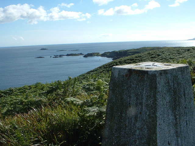
The island's location in Loch Lomond offers stunning views of the surrounding landscape. Visitors can admire the rugged mountains and tranquil waters that make up this picturesque area of Argyllshire.
Access to Eilean an Lòin is primarily by boat, with several local tour companies offering trips to the island. Due to its fragile ecosystem, visitors are encouraged to tread lightly and respect the natural surroundings. The island is also a designated nature reserve, further highlighting its importance as a haven for wildlife.
In addition to its natural beauty, Eilean an Lòin holds historical significance. It is believed to have been used as a refuge for monks during the medieval period, and remnants of their presence can still be seen on the island.
Overall, Eilean an Lòin is a hidden gem within Loch Lomond, offering a peaceful retreat for nature lovers and history enthusiasts alike.
If you have any feedback on the listing, please let us know in the comments section below.
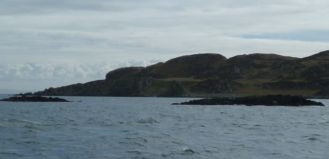
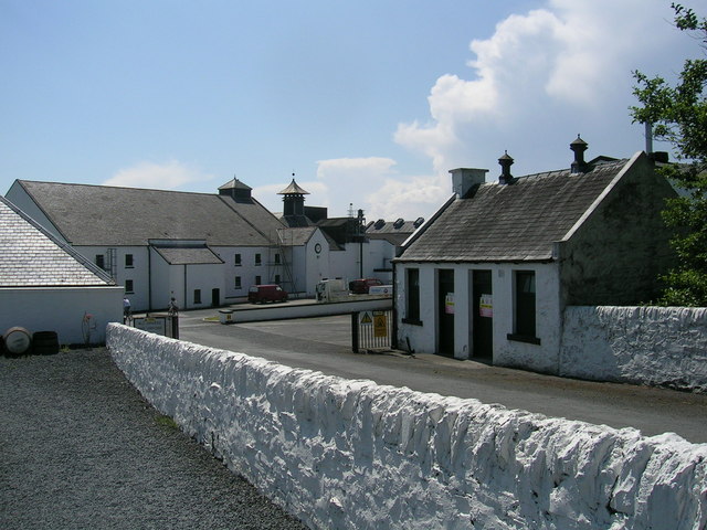
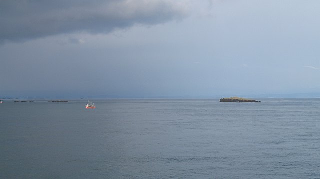
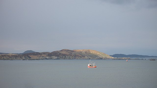
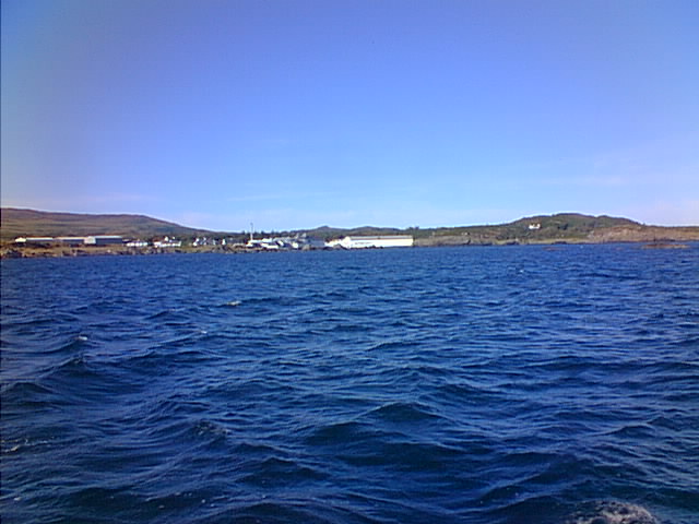
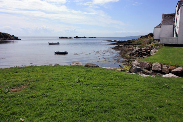
Eilean an Lòin Images
Images are sourced within 2km of 55.612486/-6.1426123 or Grid Reference NR3943. Thanks to Geograph Open Source API. All images are credited.
Eilean an Lòin is located at Grid Ref: NR3943 (Lat: 55.612486, Lng: -6.1426123)
Unitary Authority: Argyll and Bute
Police Authority: Argyll and West Dunbartonshire
What 3 Words
///places.latitudes.brew. Near Port Ellen, Argyll & Bute
Nearby Locations
Related Wikis

Texa
Texa (Scottish Gaelic: Teacsa) is a small island 700 metres (3⁄8 mile) directly south of Islay, in the Inner Hebrides, Scotland. It reaches a height of...

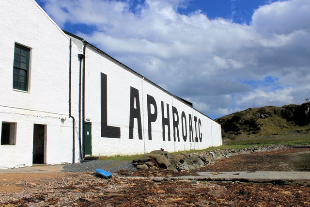
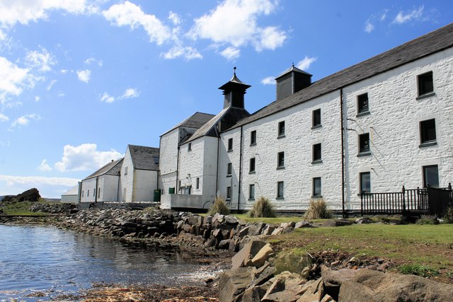
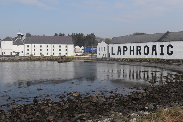
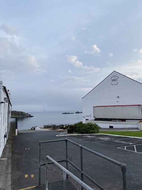
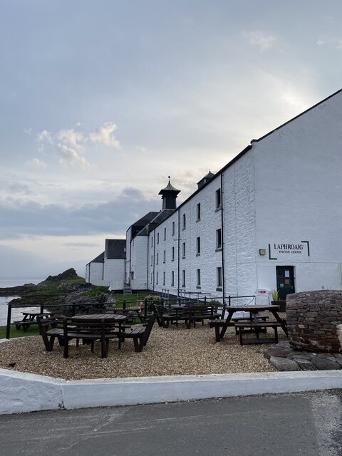
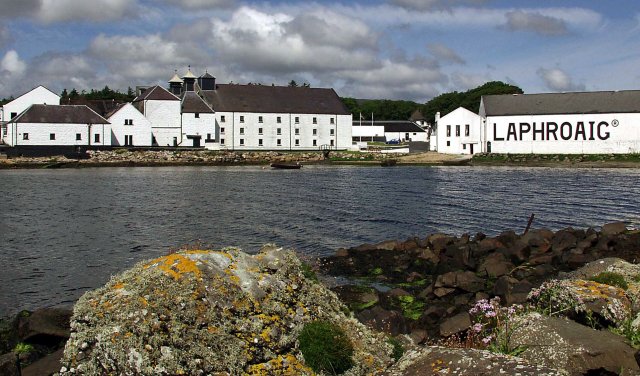
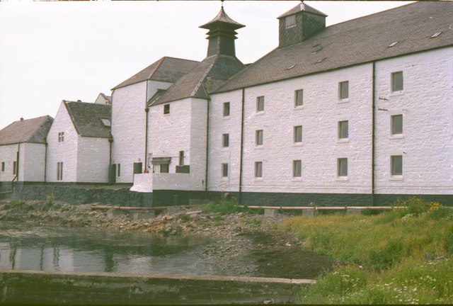
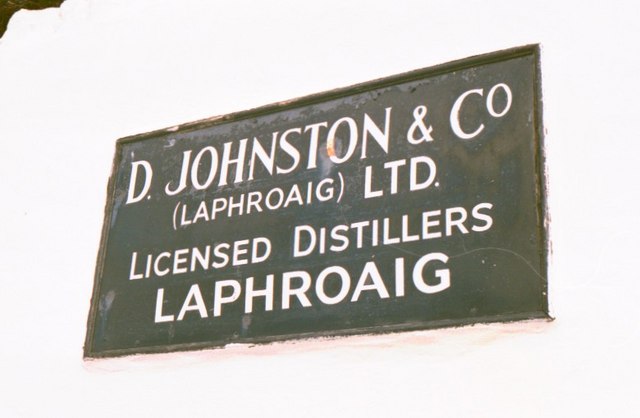
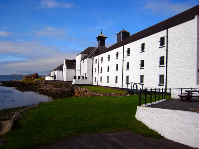
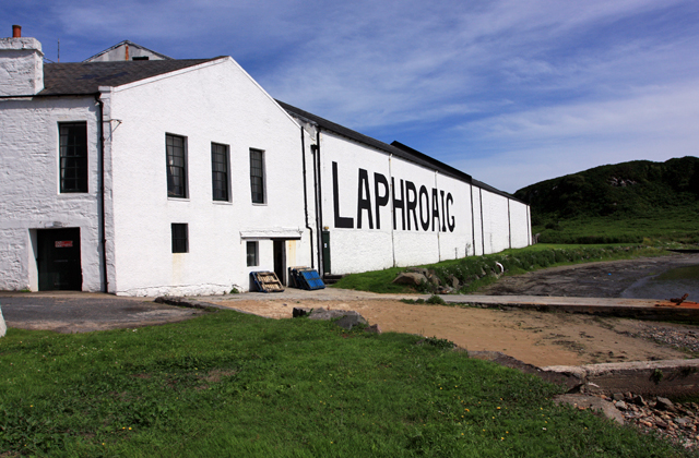
Laphroaig distillery
Laphroaig distillery ( lə-FROYG) is an Islay single malt Scotch whisky distillery. It is named after the area of land at the head of Loch Laphroaig on...

Lagavulin Bay
Lagavulin Bay is a bay on the south of Islay, Scotland. Directly in this bay lies the Lagavulin distillery. The name Lagavulin is an anglicisation of Lag...

Dunyvaig Castle
Dunyvaig Castle, (Scottish Gaelic: Dùn Naomhaig, Anglicised Fort of the galleys, also known as Dunnyveg) is located on the south side of Islay, in Argyll...
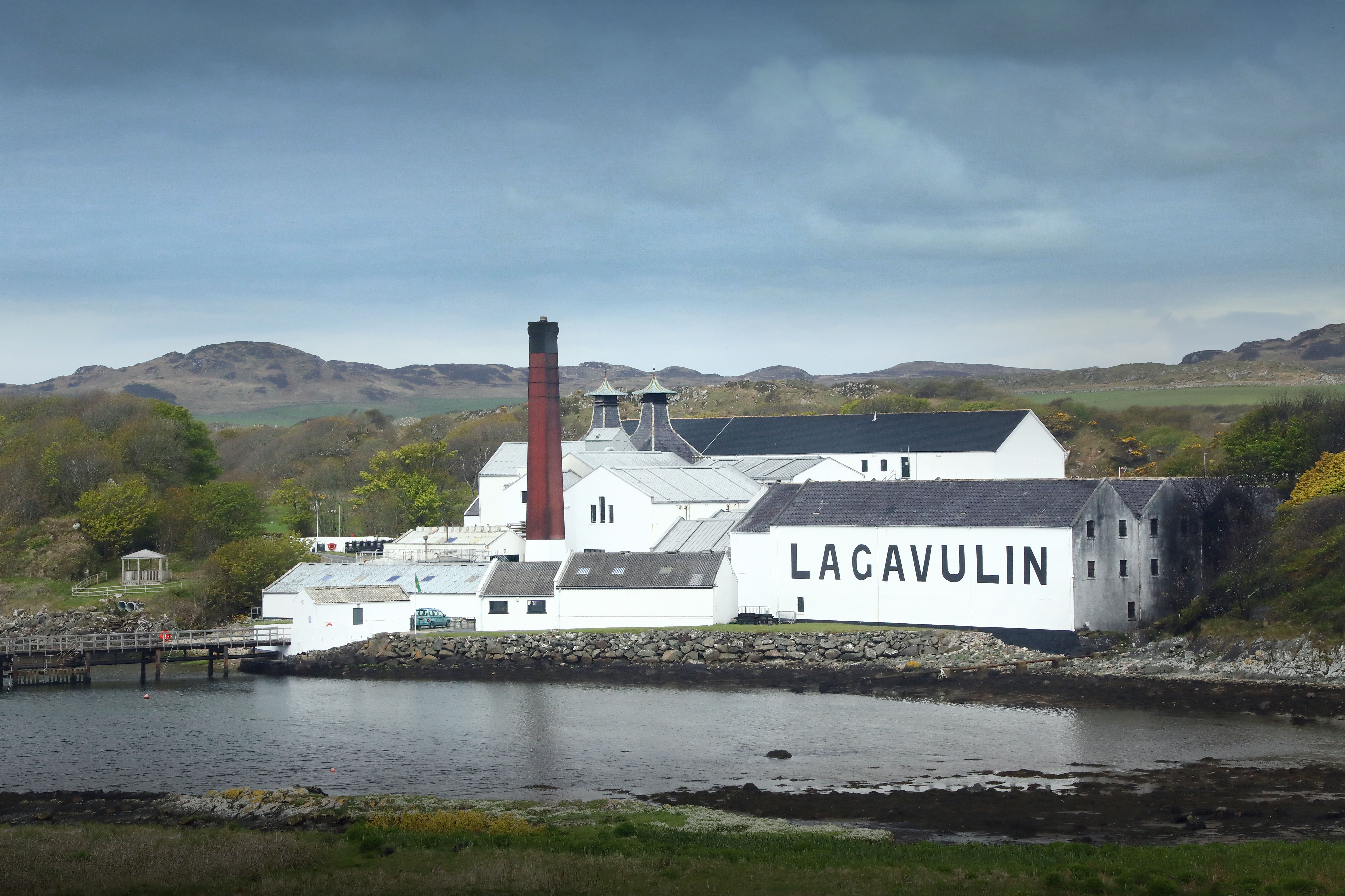
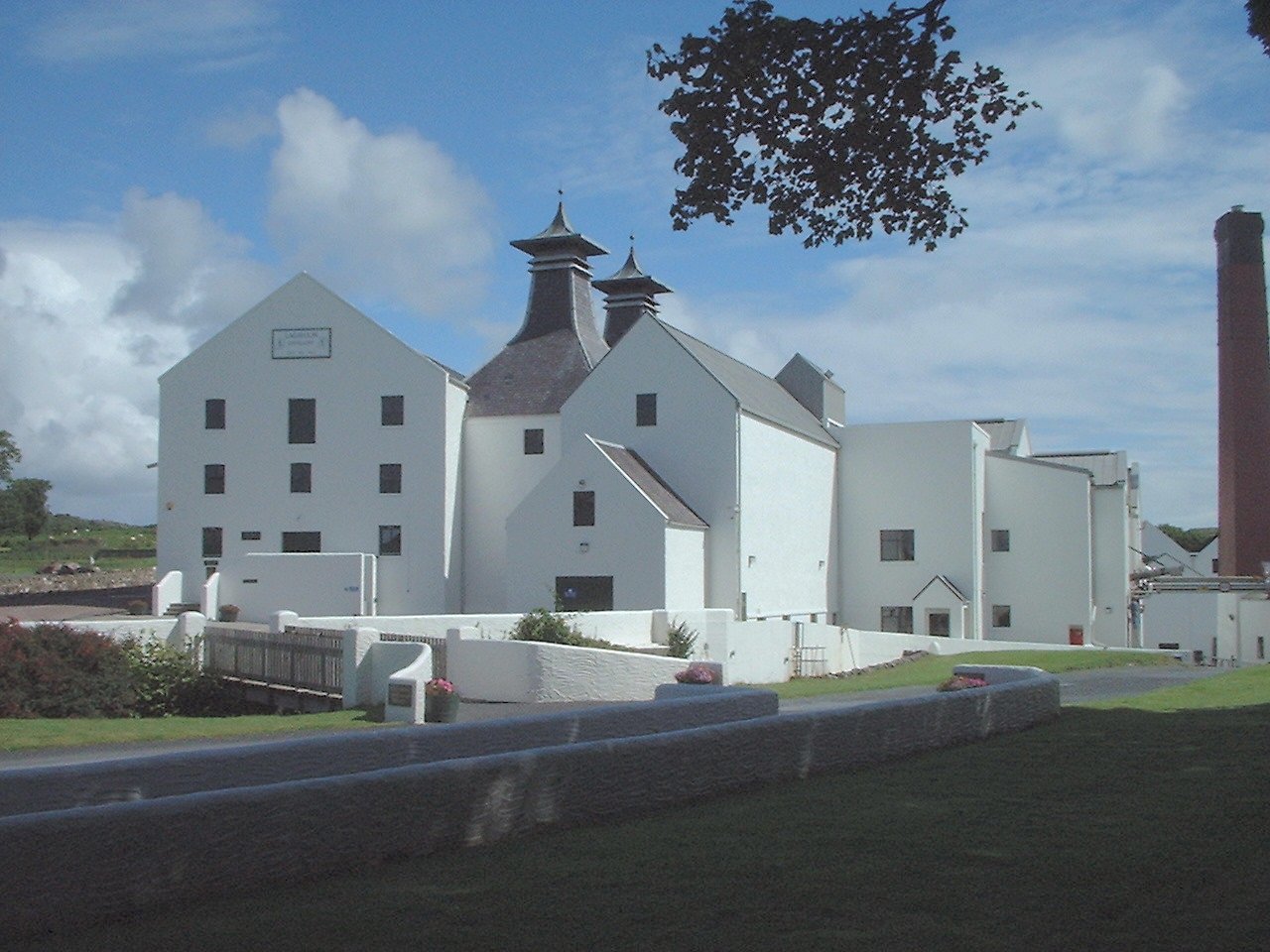
Lagavulin distillery
Lagavulin distillery is a malt whisky distillery in the village of Lagavulin on the south of the island of Islay, Scotland. It distills spirit that will...
Lagavulin
Lagavulin (Scottish Gaelic: Lag a' Mhuilinn, "hollow of the mill") is a small village approximately 3 miles (5 kilometres) outside Port Ellen on the Isle...

Ardbeg, Islay
Ardbeg (Scottish Gaelic: An Àird Bheag) is a small settlement on southern coast of the island of Islay off the west coast of Scotland. It is around 3 miles...

St John's Church, Port Ellen
St John's Church, Port Ellen is a Category B listed building in Port Ellen, Islay, Argyll and Bute, Scotland. == History == The memorial stone for the...
Nearby Amenities
Located within 500m of 55.612486,-6.1426123Have you been to Eilean an Lòin?
Leave your review of Eilean an Lòin below (or comments, questions and feedback).