Texa
Island in Argyllshire
Scotland
Texa
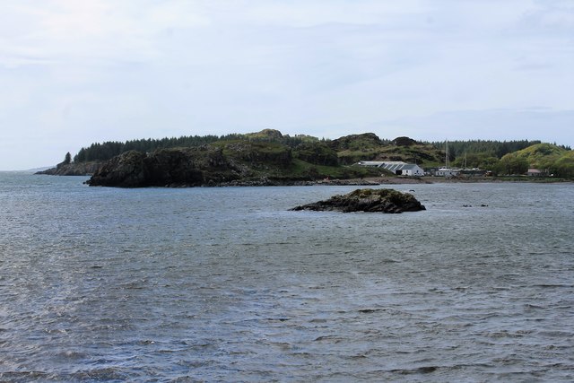
Texa is a small island located in Argyllshire, Scotland. It is situated in the Inner Hebrides, specifically in the Firth of Lorn. The island covers an area of approximately 4.5 square miles and is known for its stunning natural beauty and diverse wildlife.
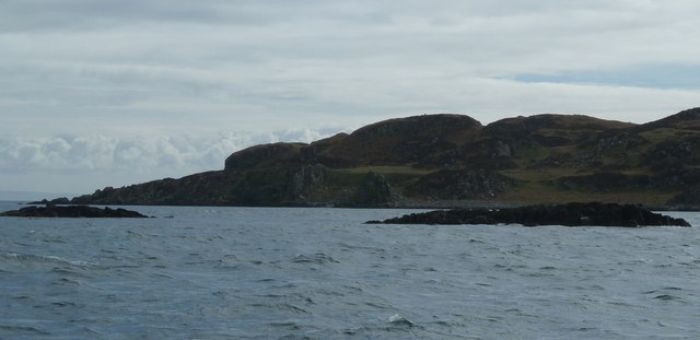
Texa is characterized by its rugged coastline, with rocky cliffs and sandy beaches that provide a habitat for a wide variety of marine life. The island is also home to several freshwater lochs, adding to its scenic charm. The landscape is dominated by rolling hills, moorland, and scattered woodlands, offering opportunities for outdoor activities such as hiking, birdwatching, and nature photography.
Despite its relatively small size, Texa has a rich history. Evidence of ancient settlements and burial sites can be found on the island, reflecting its long-standing human occupation. In more recent times, Texa has been used primarily for agricultural purposes, with sheep farming being the main economic activity.
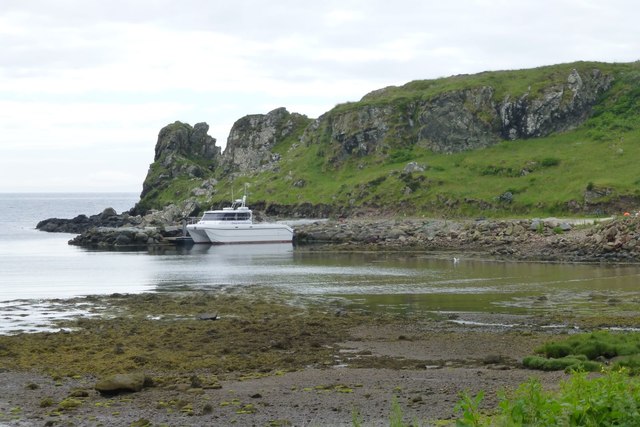
Access to Texa is limited, with no regular ferry service available. The closest mainland point is the town of Oban, which is located approximately 8 miles east of the island. However, Texa can be reached by private boat, providing an exclusive retreat for those seeking solitude and tranquility in a picturesque setting.
Overall, Texa offers a unique and unspoiled island experience, combining stunning landscapes, rich history, and abundant wildlife. It is a hidden gem within the Inner Hebrides, attracting visitors who appreciate its natural beauty and desire to escape the hustle and bustle of everyday life.
If you have any feedback on the listing, please let us know in the comments section below.
Texa Images
Images are sourced within 2km of 55.617014/-6.1454266 or Grid Reference NR3943. Thanks to Geograph Open Source API. All images are credited.
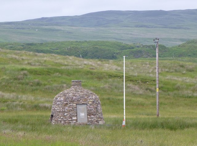
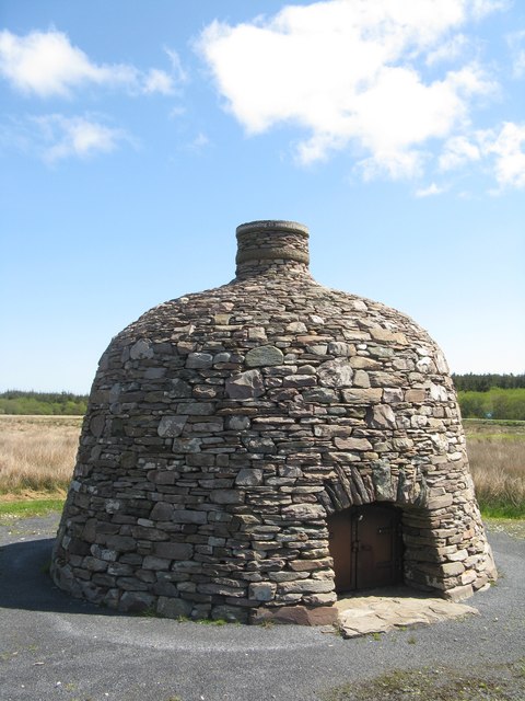
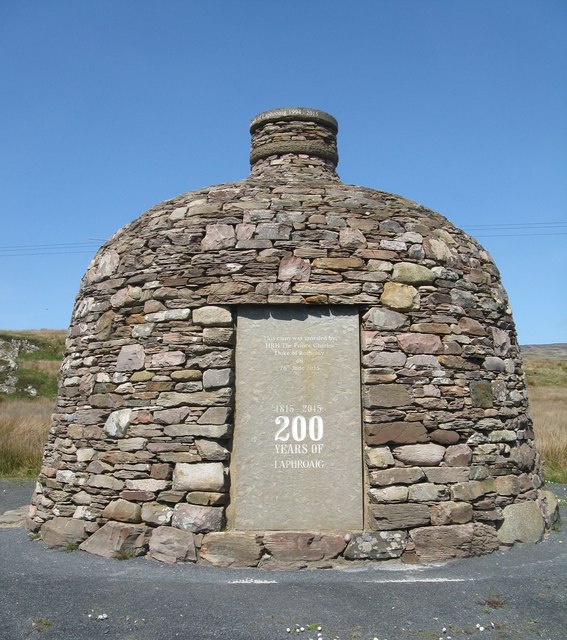
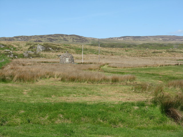
![Laphroaig's Bicentenary Cairn Celebrating 200 years of the distillery; &#039;opened&#039; by HRH The Prince Charles [Duke of Rothesay] in July 2015. It does have a locked door - I wonder what it contains?](https://s0.geograph.org.uk/geophotos/05/78/31/5783172_51c8805e.jpg)
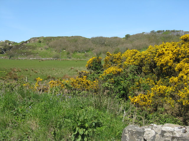
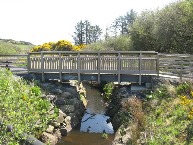
![Footpath over the Surnaig River Between the Laphroaig and Lagavulin distilleries alongside the road [A846], which is very busy with tourists visiting the distilleries, so the path is separated from the road.](https://s0.geograph.org.uk/geophotos/05/78/32/5783244_7a057f30.jpg)
Texa is located at Grid Ref: NR3943 (Lat: 55.617014, Lng: -6.1454266)
Unitary Authority: Argyll and Bute
Police Authority: Argyll and West Dunbartonshire
What 3 Words
///songbirds.rabble.diamond. Near Port Ellen, Argyll & Bute
Nearby Locations
Related Wikis

Texa
Texa (Scottish Gaelic: Teacsa) is a small island 700 metres (3⁄8 mile) directly south of Islay, in the Inner Hebrides, Scotland. It reaches a height of...

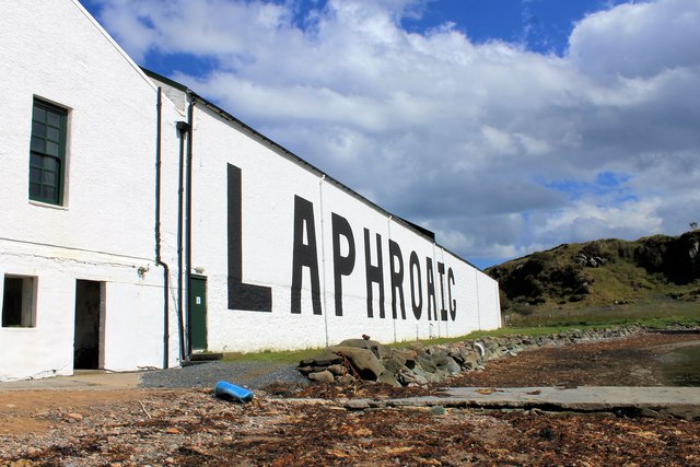
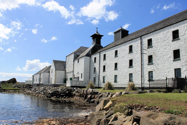
Laphroaig distillery
Laphroaig distillery ( lə-FROYG) is an Islay single malt Scotch whisky distillery. It is named after the area of land at the head of Loch Laphroaig on...

Lagavulin Bay
Lagavulin Bay is a bay on the south of Islay, Scotland. Directly in this bay lies the Lagavulin distillery. The name Lagavulin is an anglicisation of Lag...

Dunyvaig Castle
Dunyvaig Castle, (Scottish Gaelic: Dùn Naomhaig, Anglicised Fort of the galleys, also known as Dunnyveg) is located on the south side of Islay, in Argyll...
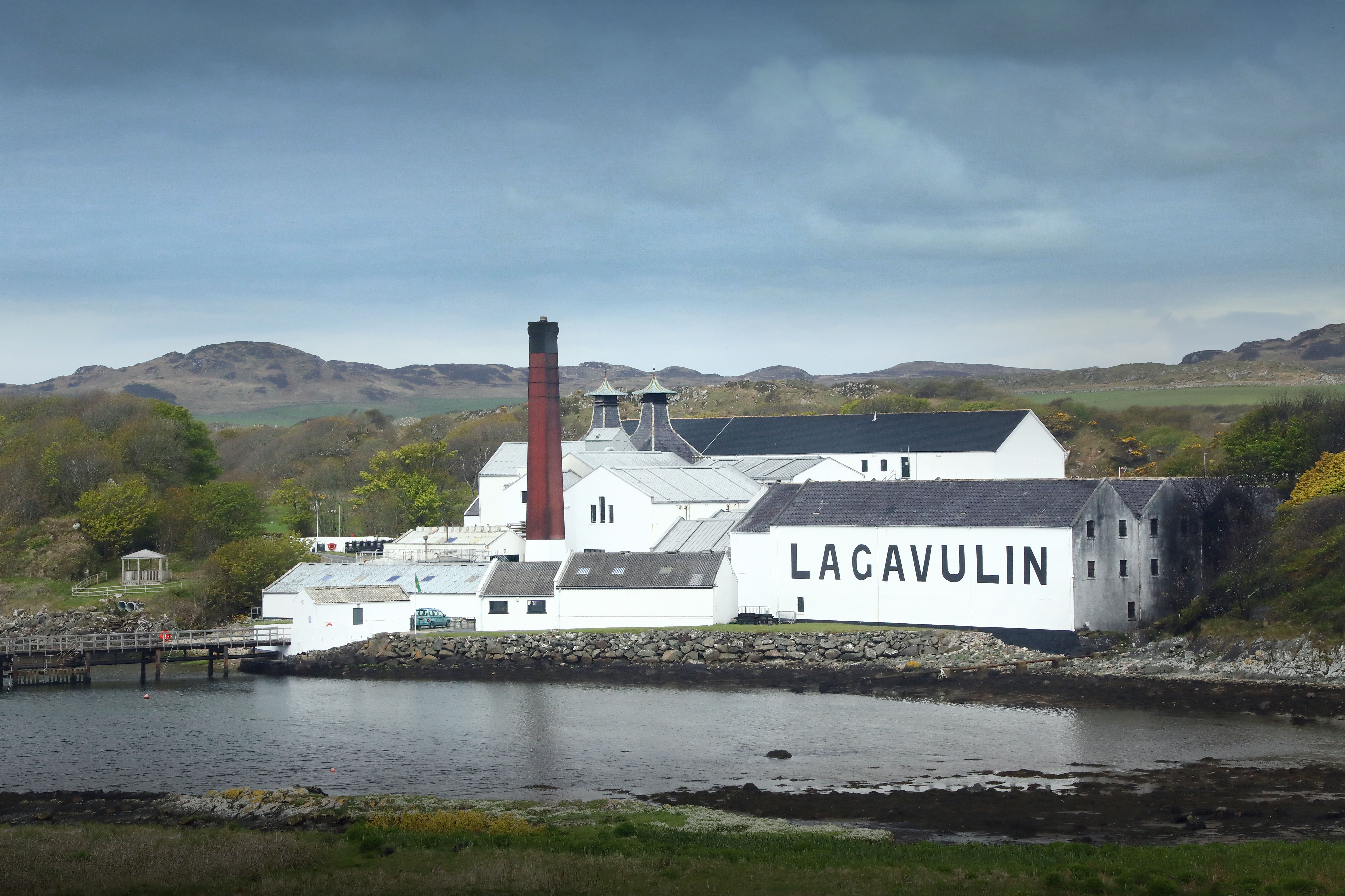
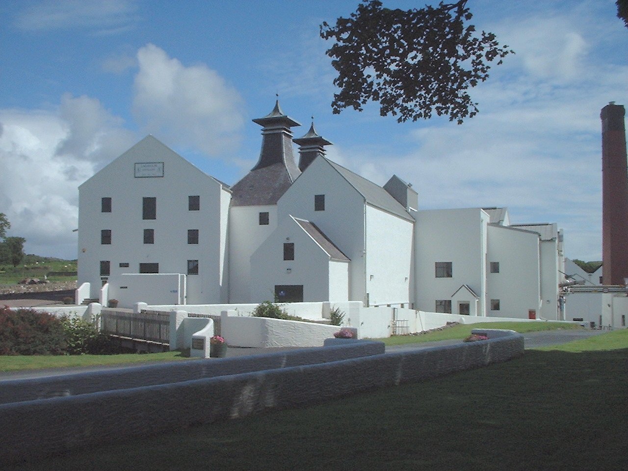
Lagavulin distillery
Lagavulin distillery is a malt whisky distillery in the village of Lagavulin on the south of the island of Islay, Scotland. It distills spirit that will...
Lagavulin
Lagavulin (Scottish Gaelic: Lag a' Mhuilinn, "hollow of the mill") is a small village approximately 3 miles (5 kilometres) outside Port Ellen on the Isle...

Ardbeg, Islay
Ardbeg (Scottish Gaelic: An Àird Bheag) is a small settlement on southern coast of the island of Islay off the west coast of Scotland. It is around 3 miles...

Port Ellen
Port Ellen (Scottish Gaelic: Port Ìlein) is a small town on the island of Islay, in Argyll, Scotland. The town is named after the wife of its founder,...
Have you been to Texa?
Leave your review of Texa below (or comments, questions and feedback).