Catrake Force
Waterfall in Yorkshire Richmondshire
England
Catrake Force

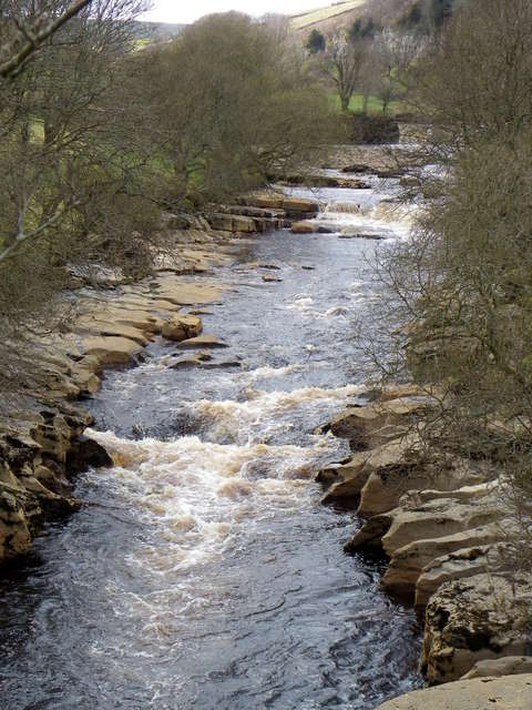
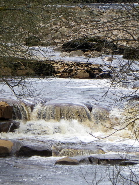
Catrake Force is a stunning waterfall located in Yorkshire, England. It is situated in the upper reaches of Swaledale, near the village of Keld. The waterfall is a popular attraction for nature lovers and hikers, offering a tranquil and picturesque setting.
With a height of approximately 20 meters (65 feet), Catrake Force is an impressive cascade of water that tumbles down a series of rocky steps. The falls are formed by the Catrake Beck, a small river that flows through the surrounding moorland and eventually joins the River Swale.
The surrounding landscape is characterized by rugged beauty, with rolling hills, rocky outcrops, and vibrant greenery. Visitors can enjoy a leisurely walk through the scenic countryside before reaching the waterfall, immersing themselves in the peaceful ambiance and captivating views.
Catrake Force is particularly captivating after heavy rainfall, as the water flow increases, creating a more dramatic spectacle. The sound of rushing water and the misty spray that fills the air add to the enchanting atmosphere of the area.
Access to Catrake Force is relatively easy, with a footpath leading from Keld towards the falls. The trail is well-marked and maintained, making it suitable for both experienced hikers and casual visitors.
Overall, Catrake Force is a natural wonder that showcases the beauty of Yorkshire's landscape. Whether it's for a leisurely stroll or a photography expedition, this waterfall offers a memorable experience for those seeking to connect with nature in one of England's most picturesque regions.
If you have any feedback on the listing, please let us know in the comments section below.
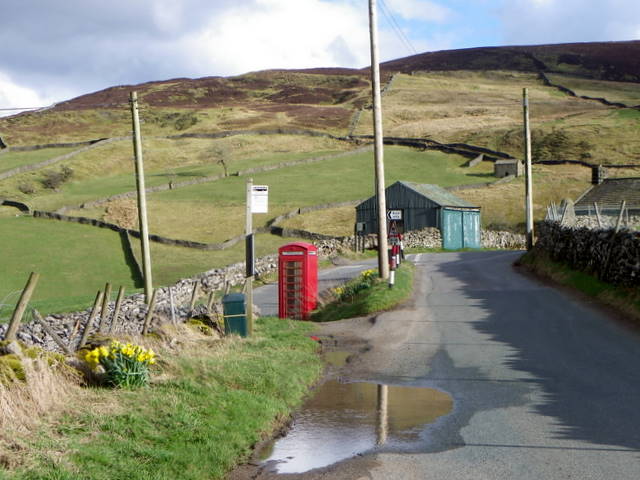
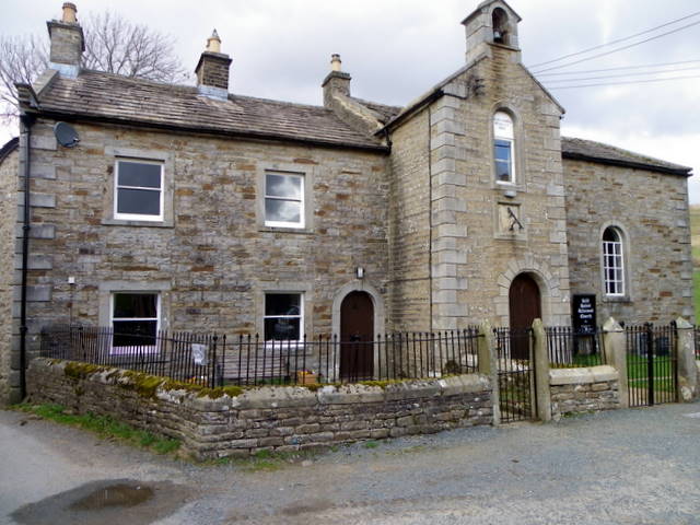
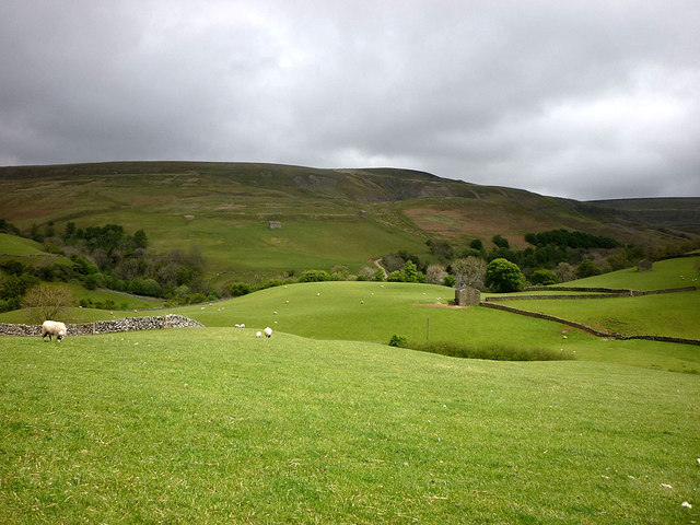
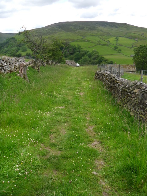
Catrake Force Images
Images are sourced within 2km of 54.407078/-2.1673205 or Grid Reference NY8901. Thanks to Geograph Open Source API. All images are credited.


Catrake Force is located at Grid Ref: NY8901 (Lat: 54.407078, Lng: -2.1673205)
Division: North Riding
Administrative County: North Yorkshire
District: Richmondshire
Police Authority: North Yorkshire
What 3 Words
///ambient.unicorns.skim. Near Kirkby Stephen, Cumbria
Nearby Locations
Related Wikis

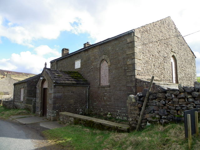
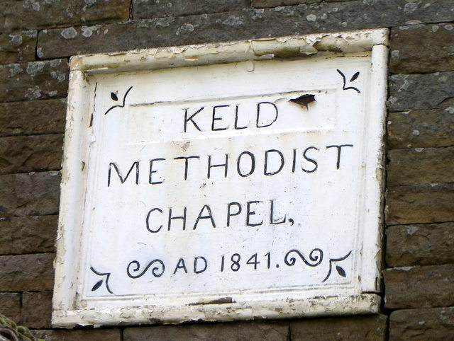
Keld, North Yorkshire
Keld is a village in the English county of North Yorkshire. It is in Swaledale, and the Yorkshire Dales National Park. The name derives from the Viking...

East Gill Force
East Gill Force is a waterfall in Swaledale, 330 yards (300 m) east of the hamlet of Keld, in the Yorkshire Dales National Park, North Yorkshire, England...

Catrake Force
Catrake Force is a waterfall on the River Swale in North Yorkshire, England. It is not visible from the road but is accessible via a campsite in Keld....

Kisdon Force
Kisdon Force is a series of waterfalls on the River Swale in Swaledale, England. The falls are situated within the Yorkshire Dales National Park in the...
Nearby Amenities
Located within 500m of 54.407078,-2.1673205Have you been to Catrake Force?
Leave your review of Catrake Force below (or comments, questions and feedback).