Pry Hill
Hill, Mountain in Yorkshire Richmondshire
England
Pry Hill
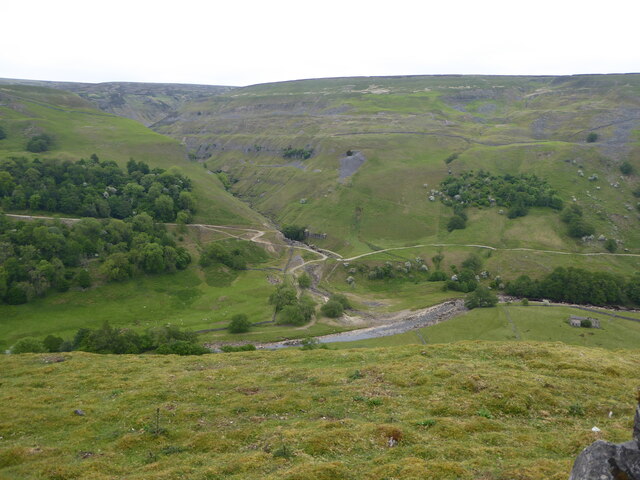
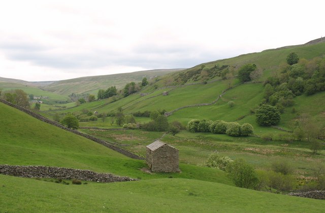
Pry Hill is a prominent natural landmark located in the county of Yorkshire, England. It is considered a hill rather than a mountain due to its elevation, standing at approximately 430 meters (1,411 feet) above sea level. Situated in the North York Moors National Park, Pry Hill offers breathtaking panoramic views of the surrounding countryside.
The hill is characterized by its gently sloping sides, covered in lush green vegetation and dotted with heather moorland. Its geological formation consists of layers of sandstone and shale, which have eroded over time to create a distinct profile. The summit of Pry Hill is relatively flat, providing ample space for visitors to enjoy a picnic or simply take in the picturesque scenery.
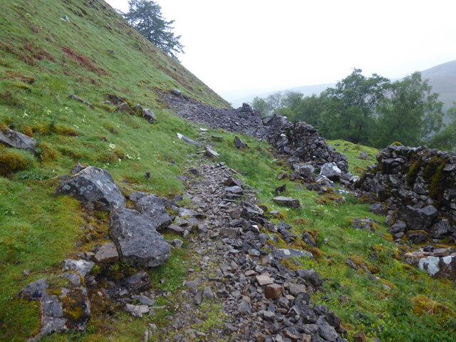
Access to Pry Hill is relatively easy, with several footpaths leading to the summit from nearby villages and towns. The most popular route begins in the charming village of Osmotherley, allowing hikers to enjoy a scenic walk through forests and open fields before reaching the hilltop. Along the way, visitors may encounter various species of wildlife, including birds of prey and grazing sheep.
Pry Hill is a popular destination for outdoor enthusiasts seeking a peaceful retreat and a chance to explore the beauty of the Yorkshire countryside. Its natural surroundings, combined with its accessibility and stunning views, make it an ideal spot for nature walks, photography, and birdwatching. Whether visiting for a leisurely stroll or a more challenging hike, Pry Hill offers a memorable experience for visitors of all ages.
If you have any feedback on the listing, please let us know in the comments section below.
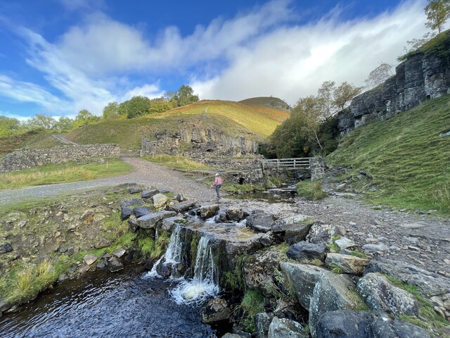
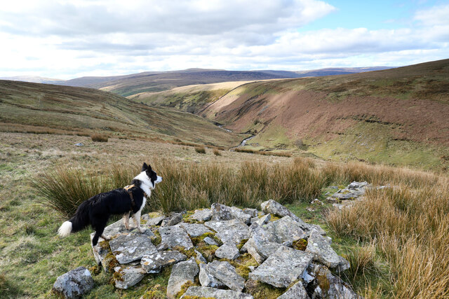
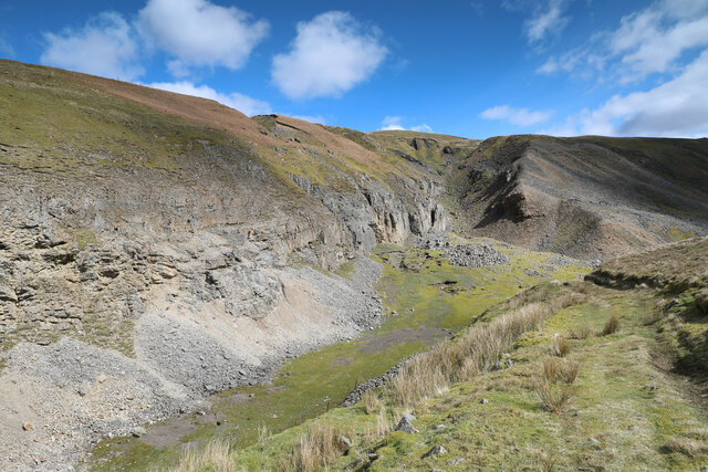
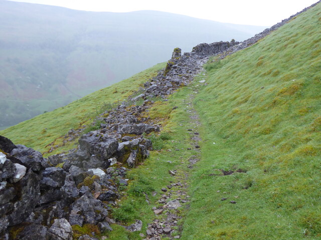
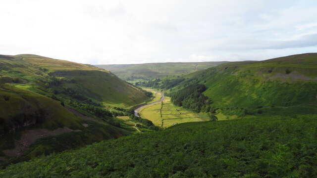
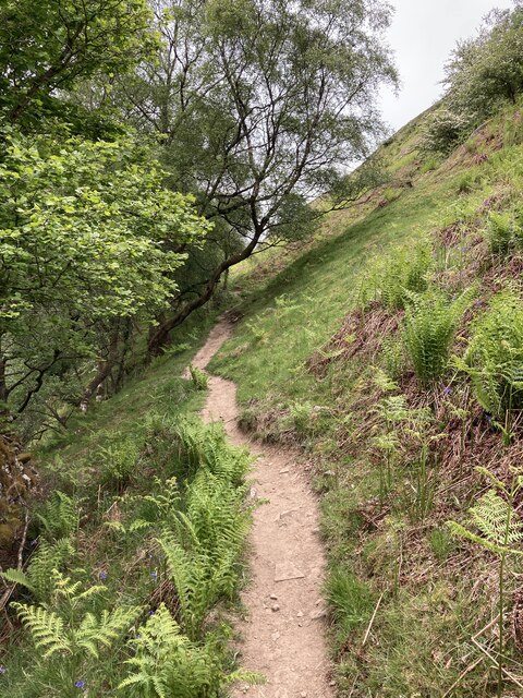
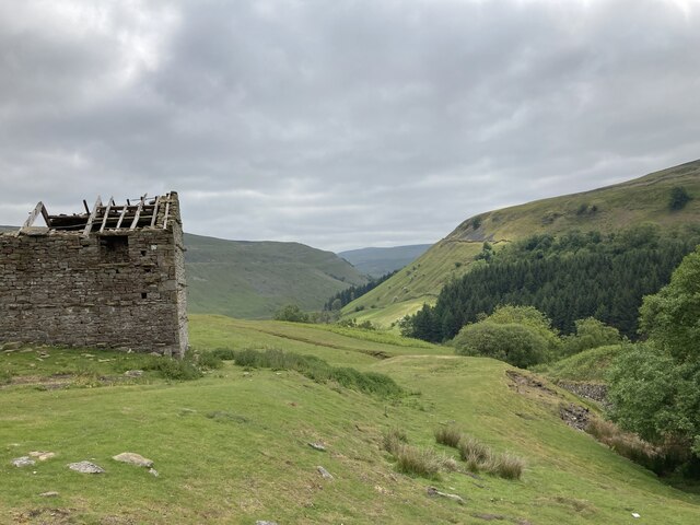
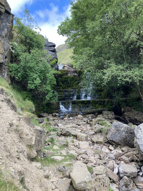
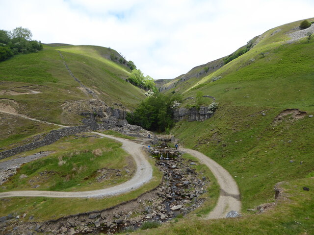
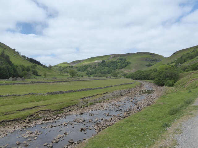
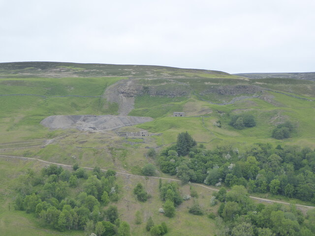
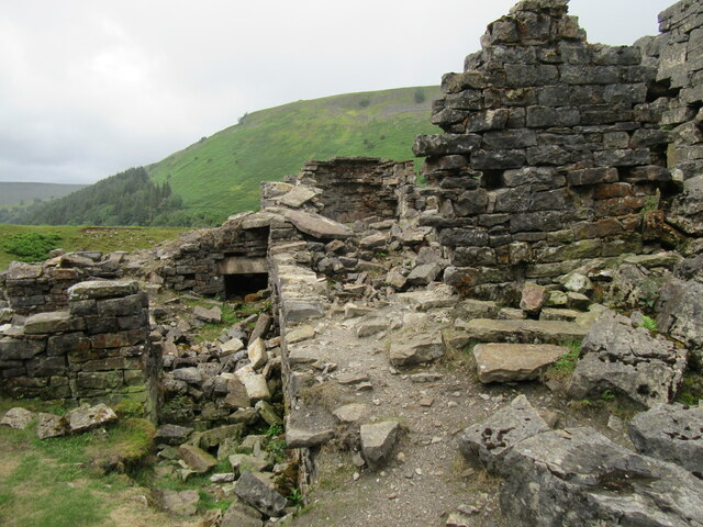
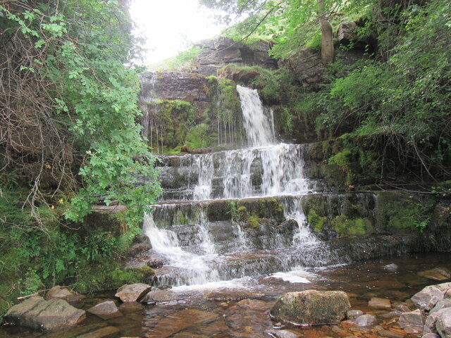
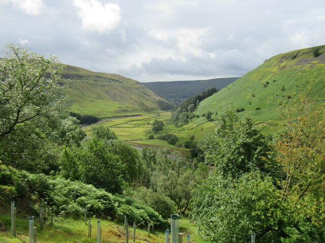
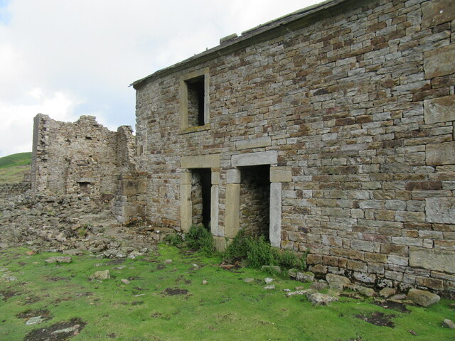
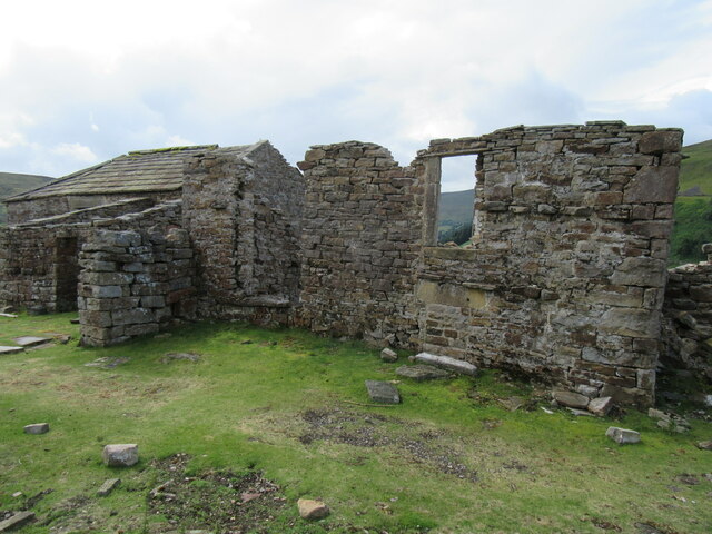
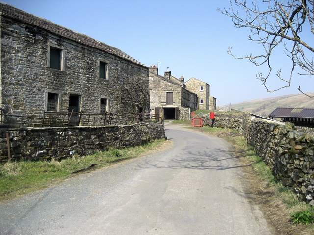
Pry Hill Images
Images are sourced within 2km of 54.409789/-2.1630947 or Grid Reference NY8901. Thanks to Geograph Open Source API. All images are credited.
Pry Hill is located at Grid Ref: NY8901 (Lat: 54.409789, Lng: -2.1630947)
Division: North Riding
Administrative County: North Yorkshire
District: Richmondshire
Police Authority: North Yorkshire
What 3 Words
///utensil.headless.unhappily. Near Kirkby Stephen, Cumbria
Nearby Locations
Related Wikis

East Gill Force
East Gill Force is a waterfall in Swaledale, 330 yards (300 m) east of the hamlet of Keld, in the Yorkshire Dales National Park, North Yorkshire, England...

Keld, North Yorkshire
Keld is a village in the English county of North Yorkshire. It is in Swaledale, and the Yorkshire Dales National Park. The name derives from the Viking...

Kisdon Force
Kisdon Force is a series of waterfalls on the River Swale in Swaledale, England. The falls are situated within the Yorkshire Dales National Park in the...
West Stonesdale
West Stonesdale is a hamlet in the Yorkshire Dales, North Yorkshire, England. The secluded village is near Keld to the south, Tan Hill to the north and...

Catrake Force
Catrake Force is a waterfall on the River Swale in North Yorkshire, England. It is not visible from the road but is accessible via a campsite in Keld....

Wain Wath Force
Wain Wath Force is a waterfall on the River Swale in the Yorkshire Dales National Park, North Yorkshire, England. The falls are at grid reference NY883015...
Angram Bottoms
Angram Bottoms (grid reference SD891999) is a 9.8 hectares (24 acres) biological Site of Special Scientific Interest (SSSI) near to the village of Angram...

Kisdon
Kisdon, also called Kisdon Hill, is a fell situated in upper Swaledale in the Yorkshire Dales National Park in North Yorkshire, England. == Geography... ==
Nearby Amenities
Located within 500m of 54.409789,-2.1630947Have you been to Pry Hill?
Leave your review of Pry Hill below (or comments, questions and feedback).