Basildon
Settlement in Essex Basildon
England
Basildon
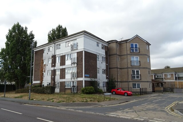
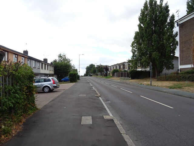
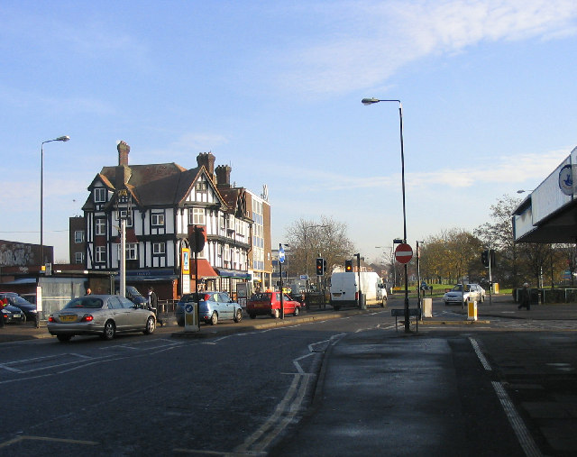
Basildon is a town located in the county of Essex, in the southeastern part of England. It is situated approximately 32 miles east of central London and has a population of around 184,000 people as of 2021. The town was designated as a new town in 1949, as part of the post-World War II efforts to redevelop and expand urban areas.
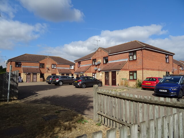
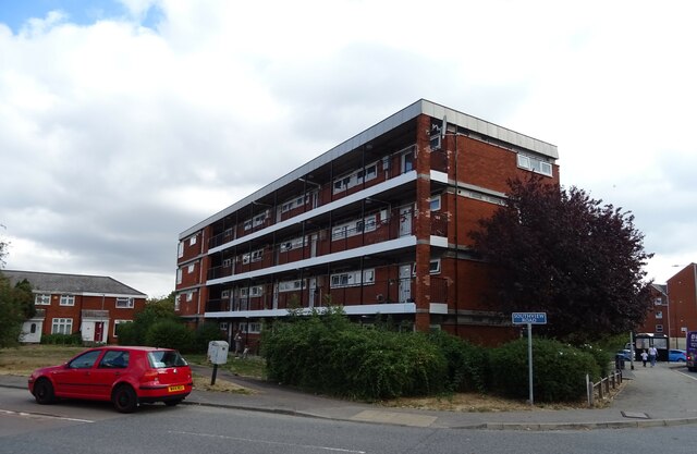
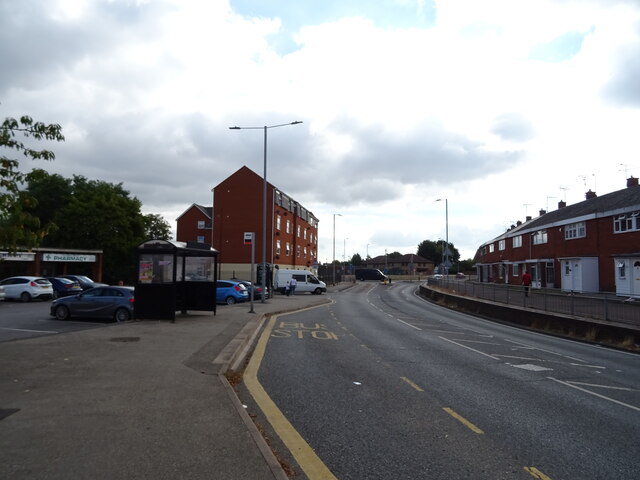
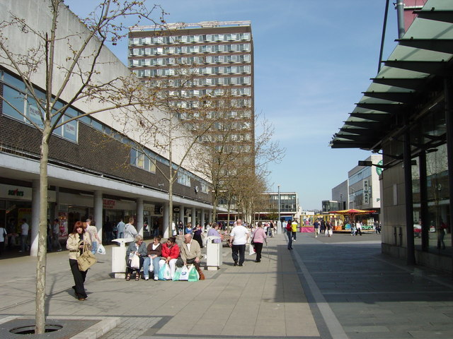
Basildon is known for its modern architecture and well-planned layout. The town center features numerous shopping facilities, including the Eastgate Shopping Centre, which offers a wide range of retail stores, restaurants, and entertainment options. Additionally, there are several smaller shopping precincts scattered throughout the town, providing residents with convenient access to local amenities.
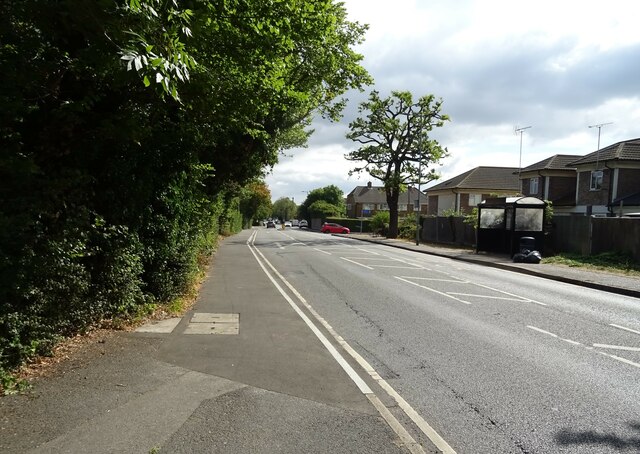
The town is well-connected to other parts of the country by various transportation links. The A127 and A13 roads pass through Basildon, allowing easy access to London, Southend-on-Sea, and other nearby towns. Basildon railway station provides regular train services to London Liverpool Street, connecting commuters to the capital within approximately 35 minutes.
Basildon is home to a diverse population and offers a range of recreational activities and green spaces. The town has several parks, including Gloucester Park and Northlands Park, which provide opportunities for outdoor activities, such as walking, running, and sports. Basildon Sporting Village is a popular leisure facility that offers a variety of sporting and fitness facilities, including a swimming pool, gymnasium, and sports halls.
In conclusion, Basildon is a thriving town in Essex, known for its modern design, excellent shopping facilities, and convenient transportation links. It offers a range of amenities and recreational opportunities for its residents, making it a desirable place to live.
If you have any feedback on the listing, please let us know in the comments section below.
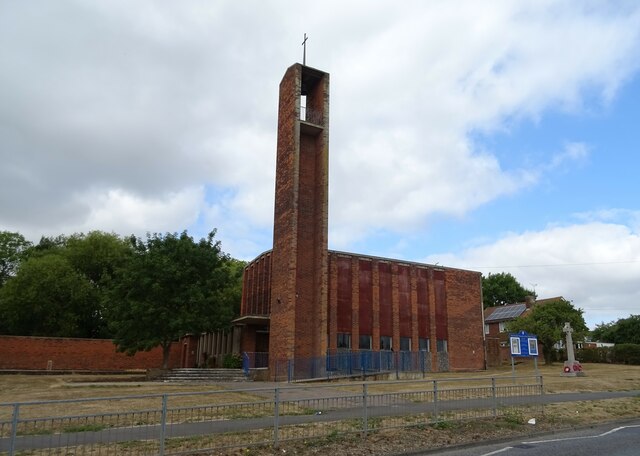
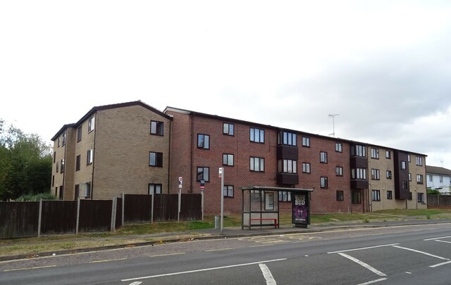
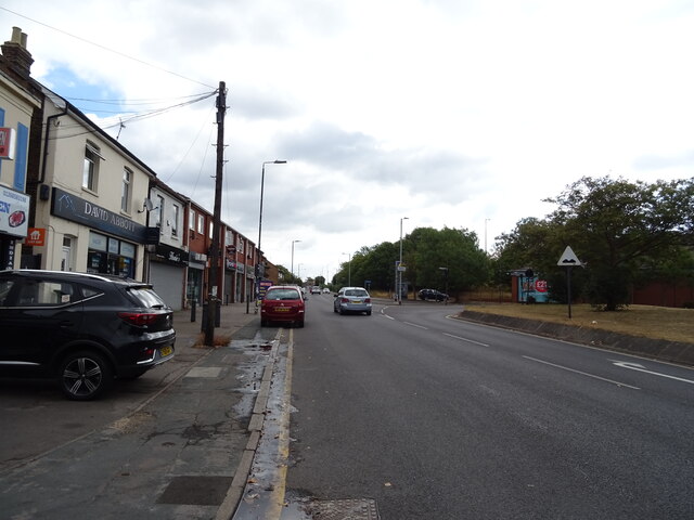
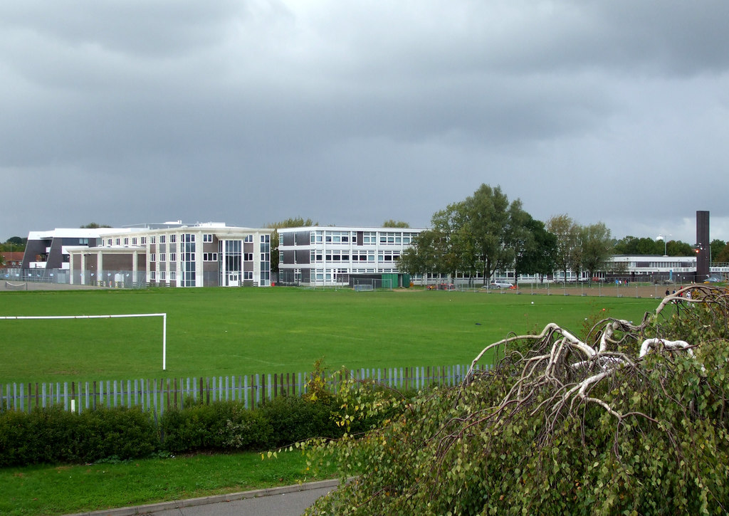
Basildon Images
Images are sourced within 2km of 51.573323/0.49505629 or Grid Reference TQ7389. Thanks to Geograph Open Source API. All images are credited.


Basildon is located at Grid Ref: TQ7389 (Lat: 51.573323, Lng: 0.49505629)
Administrative County: Essex
District: Basildon
Police Authority: Essex
What 3 Words
///meant.guilty.tonic. Near Pitsea, Essex
Related Wikis
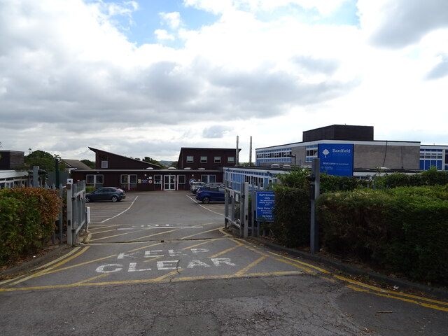
Barstable School
The Barstable School was a mixed intake secondary school in Basildon, Essex. It closed in 2009 to become a founding member of the Basildon Academies....

Northlands Park, Basildon
Northlands Park is a park in Basildon, Essex, England. == History of the park == Basildon Northlands Park was created by Basildon Development Corporation...

Fryerns Comprehensive School
Fryerns Comprehensive School , also known as Fryerns Community School, was a mixed intake secondary school in Basildon, Essex that opened in 1956. The...
Pitsea
Pitsea is a town and former civil parish in the Borough of Basildon in south Essex, England. It comprises five sub-districts: Eversley, Northlands Park...
Basildon
Basildon ( BAZ-il-dən) is the largest town in the borough of Basildon, within the county of Essex, England. It had a recorded population of 115,955 at...

Chalvedon School
Chalvedon School and 6th Form College was a Specialist Technology College in Pitsea, Essex, England. It was a comprehensive school educating pupils aged...
Bowers & Pitsea F.C.
Bowers & Pitsea Football Club is a football club based in Pitsea, Essex, England. The club are currently members of the Isthmian League North Division...
Hashtag United F.C.
Hashtag United Football Club is a semi-professional football club based in Essex, England. They are currently members of the Isthmian League Premier Division...
Nearby Amenities
Located within 500m of 51.573323,0.49505629Have you been to Basildon?
Leave your review of Basildon below (or comments, questions and feedback).