Basingstoke
Settlement in Hampshire Basingstoke and Deane
England
Basingstoke

Basingstoke is a vibrant town located in the county of Hampshire, England. With a population of around 110,000, it is one of the largest towns in the county and serves as an important economic center. Situated in the south-central part of England, Basingstoke is approximately 48 miles southwest of London and offers convenient transport links to the capital.
The town has a rich history, dating back to Roman times, with evidence of settlements and forts found in the area. However, Basingstoke flourished during the industrial revolution when it became a major center for the production of clothing and textiles. Today, Basingstoke continues to thrive as a commercial hub, hosting a variety of industries and businesses, including technology, pharmaceuticals, and finance.
Basingstoke boasts a well-developed infrastructure with excellent transportation links. The town is easily accessible by road via the M3 motorway and is served by regular train services to London Waterloo, Southampton, and other major cities. Additionally, Basingstoke benefits from an extensive bus network, making it convenient for residents and visitors to navigate the town and its surrounding areas.
In terms of amenities and attractions, Basingstoke offers a range of shopping facilities, including the Festival Place, which is a large shopping center housing numerous retail outlets, restaurants, and entertainment venues. The town also boasts several parks and green spaces, such as Eastrop Park and War Memorial Park, providing opportunities for outdoor activities and relaxation.
Overall, Basingstoke is a dynamic and well-connected town that combines its rich history with modern amenities, making it an attractive place to live, work, and visit in Hampshire.
If you have any feedback on the listing, please let us know in the comments section below.
Basingstoke Images
Images are sourced within 2km of 51.267752/-1.0883364 or Grid Reference SU6352. Thanks to Geograph Open Source API. All images are credited.


Basingstoke is located at Grid Ref: SU6352 (Lat: 51.267752, Lng: -1.0883364)
Administrative County: Hampshire
District: Basingstoke and Deane
Police Authority: Hampshire
What 3 Words
///fame.enter.dream. Near Basingstoke, Hampshire
Nearby Locations
Related Wikis
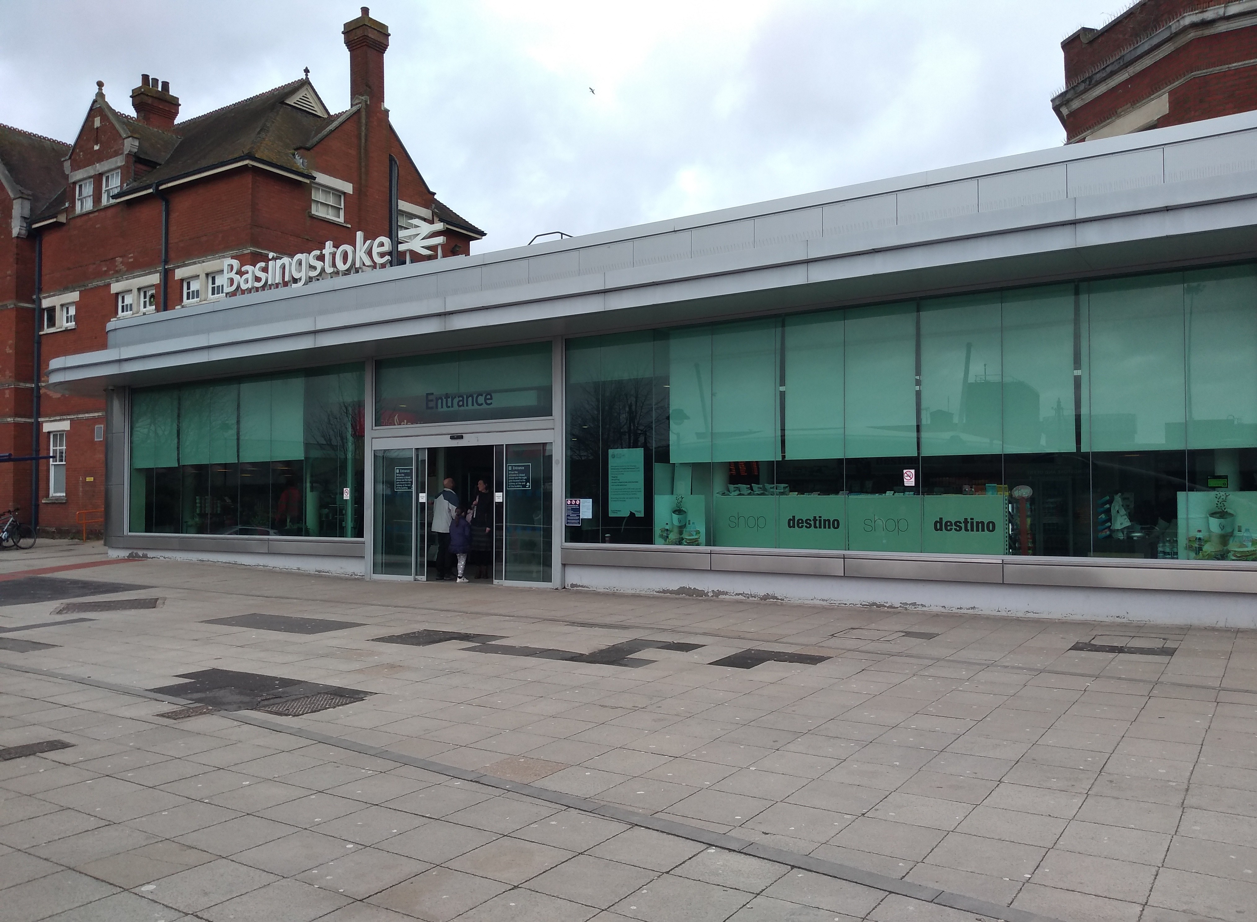
Basingstoke railway station
Basingstoke railway station serves the town of Basingstoke in the county of Hampshire in England. It is on the South West Main Line from London Waterloo...
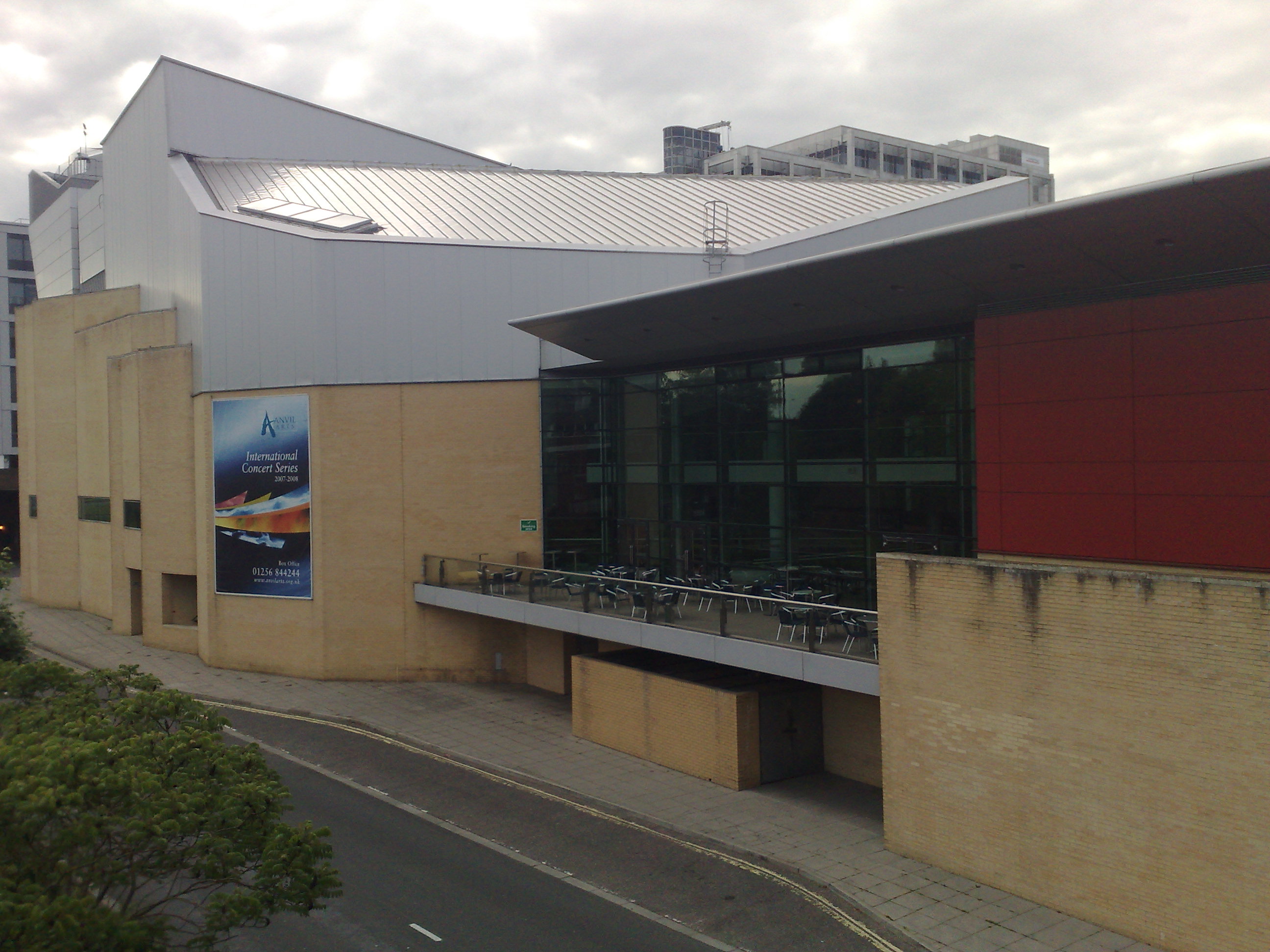
The Anvil, Basingstoke
The Anvil is a concert hall and a performing arts centre in the town of Basingstoke in Hampshire, UK. Built on a site originally set aside for the third...
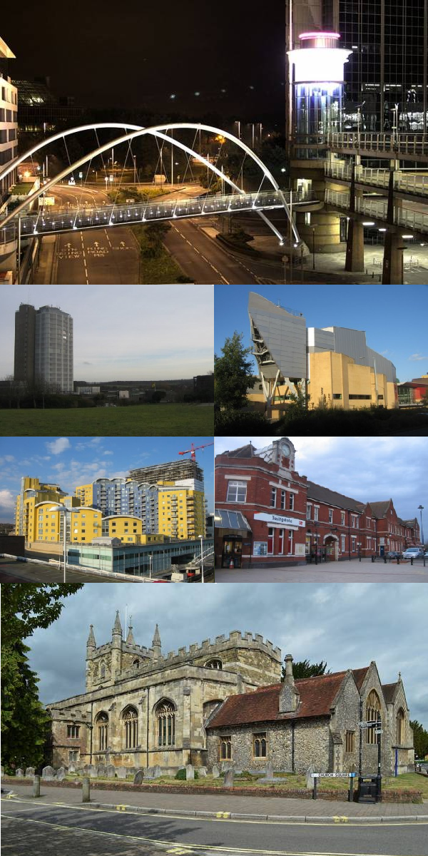
Basingstoke
Basingstoke ( BAY-zing-stohk) is a town in Hampshire, situated in south-central England across a valley at the source of the River Loddon on the western...
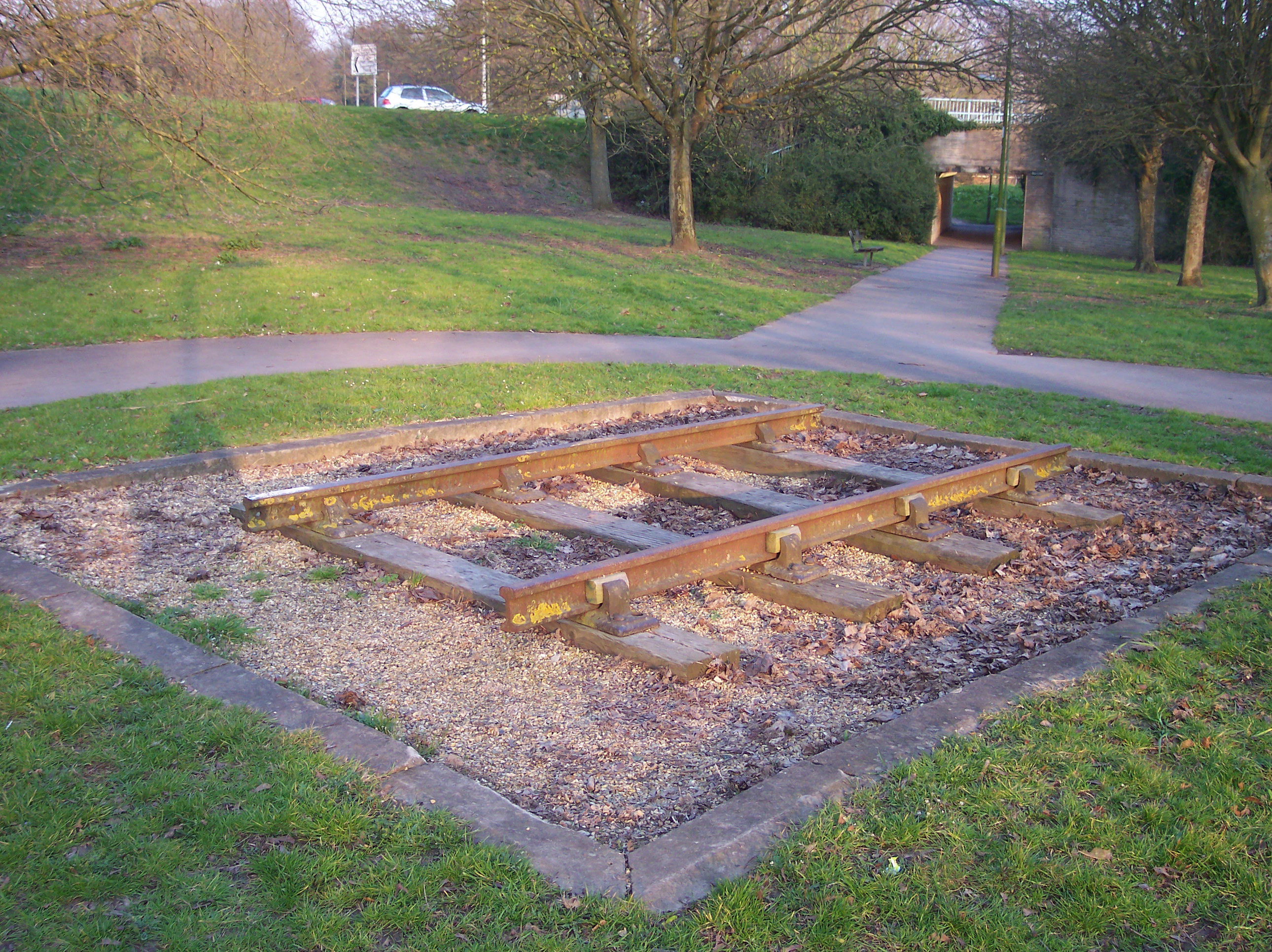
Basingstoke and Alton Light Railway
The Basingstoke and Alton Light Railway was opened in 1901, by the London and South Western Railway. It was the first English railway authorised under...
Festival Place
Festival Place is a shopping centre in Basingstoke, Hampshire, England which opened on Tuesday, 22 October 2002. It houses over 200 shops including large...

Oakridge, Hampshire
Oakridge is a village in Hampshire, England, and is located in the north of Basingstoke within the ring road. It's more of a suburb than a village, because...
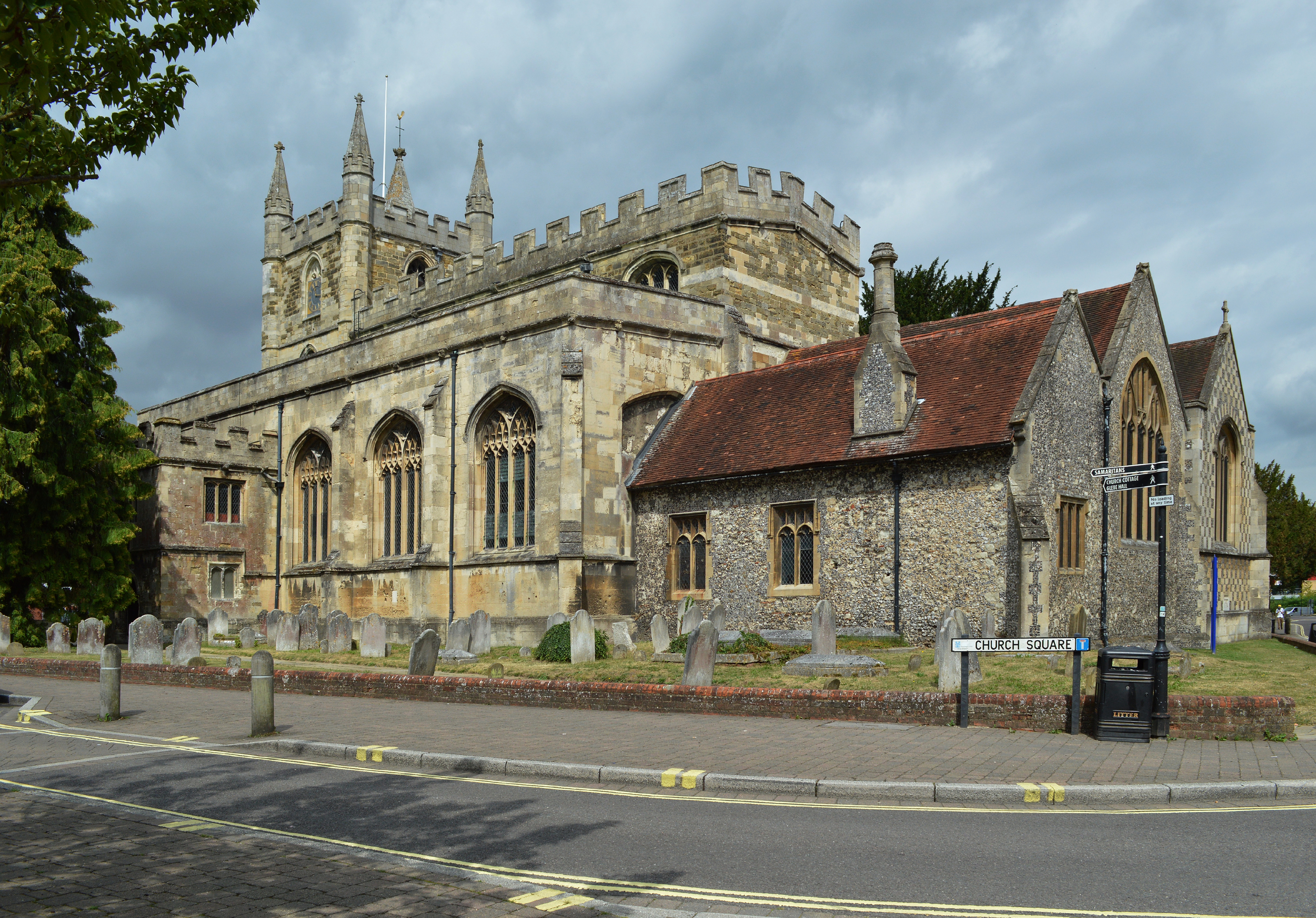
St. Michael's Church, Basingstoke
St. Michael's Church is an Anglican parish church in Basingstoke, Hampshire, England. It is located in the lower part of the town, near its centre, towards...
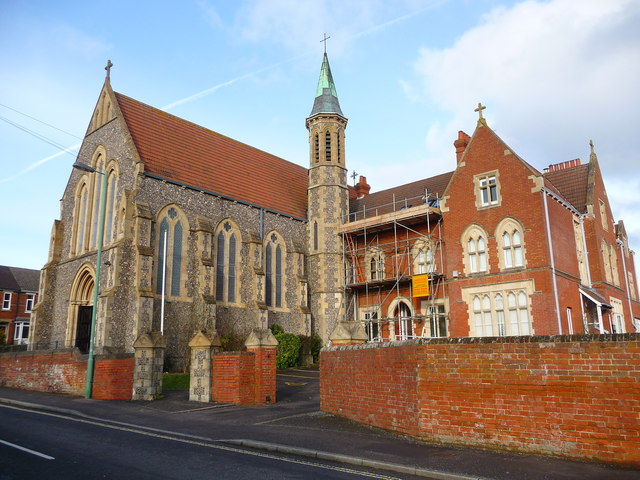
Holy Ghost Church, Basingstoke
Holy Ghost Church is a Roman Catholic church in Basingstoke, Hampshire, England. It was built from 1902 to 1903 by the priest and architect Alexander Scoles...
Nearby Amenities
Located within 500m of 51.267752,-1.0883364Have you been to Basingstoke?
Leave your review of Basingstoke below (or comments, questions and feedback).