Bashley Park
Settlement in Hampshire New Forest
England
Bashley Park
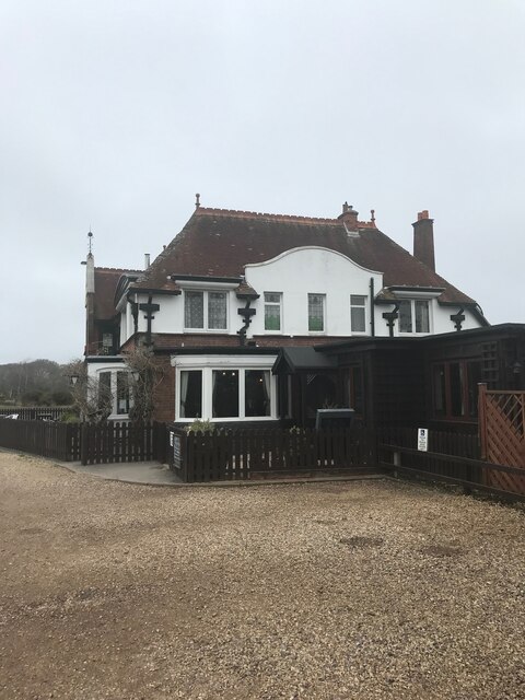
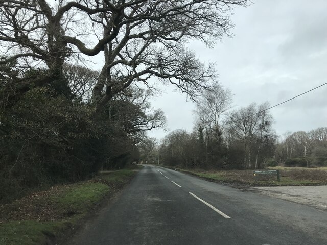
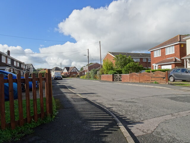
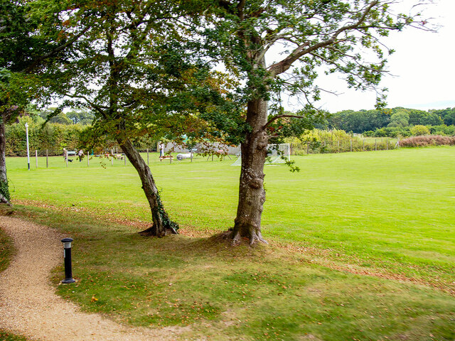
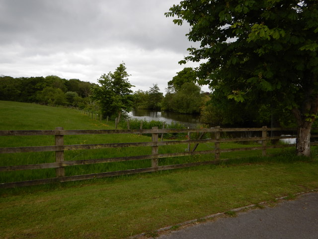
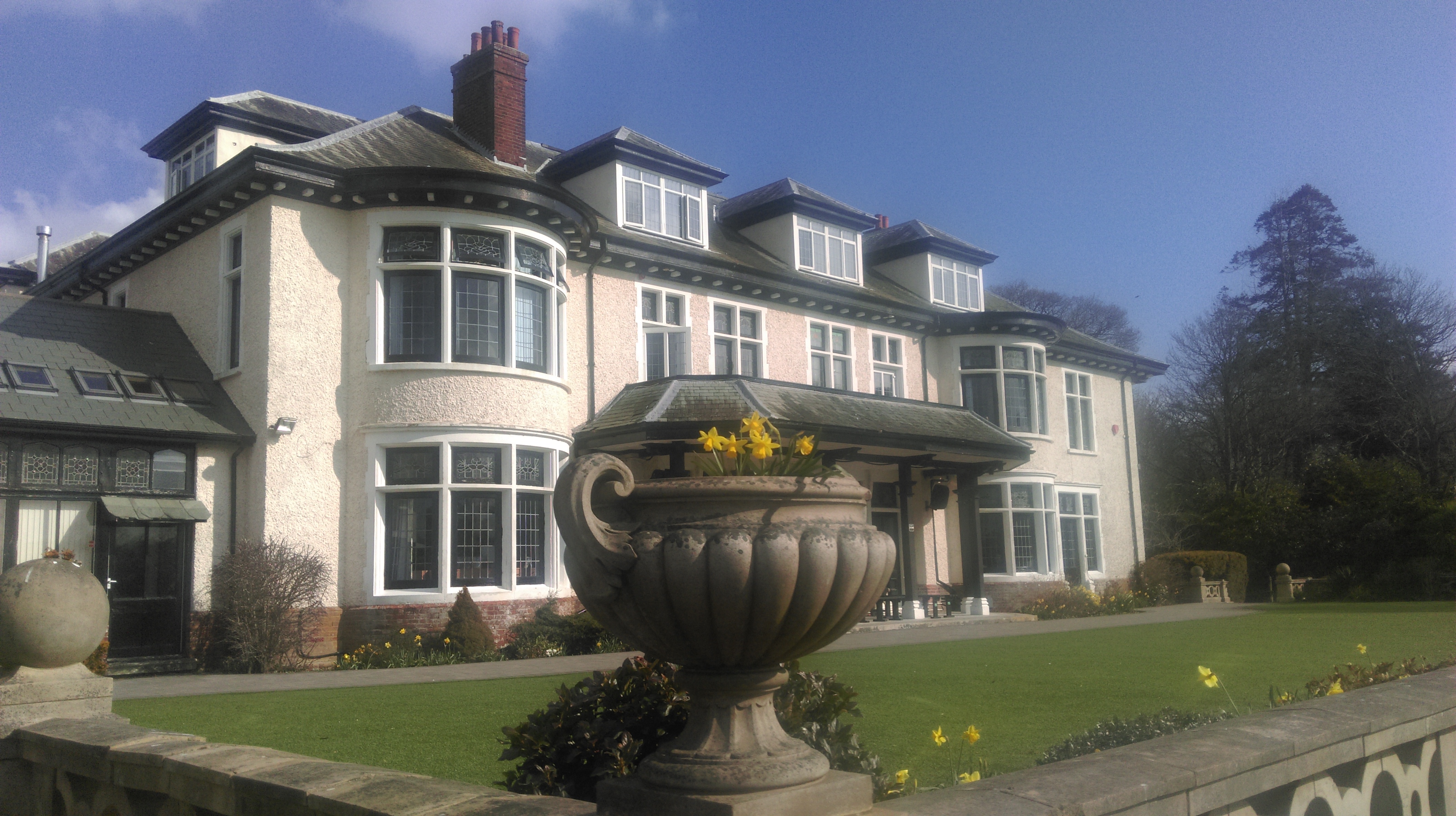
Bashley Park is a picturesque village located in the New Forest district of Hampshire, England. It is situated approximately 3 miles north of New Milton and 5 miles south of Ringwood. Nestled amidst the stunning natural beauty of the New Forest National Park, Bashley Park offers a tranquil and idyllic setting for residents and visitors alike.
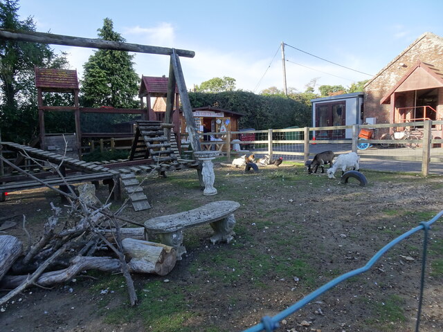
The village is renowned for its beautiful surroundings, with extensive woodlands, heathlands, and open moors just a stone's throw away. These provide ample opportunities for outdoor activities such as hiking, cycling, and wildlife spotting. The New Forest Wildlife Park, which is located nearby, is a popular attraction among families and nature enthusiasts.
Bashley Park boasts a close-knit community, with a range of amenities to cater to the needs of its residents. These include a village hall, a local pub, and a small convenience store. The village is also home to a cricket club and a football club, providing sports enthusiasts with plenty of opportunities to engage in their favorite activities.
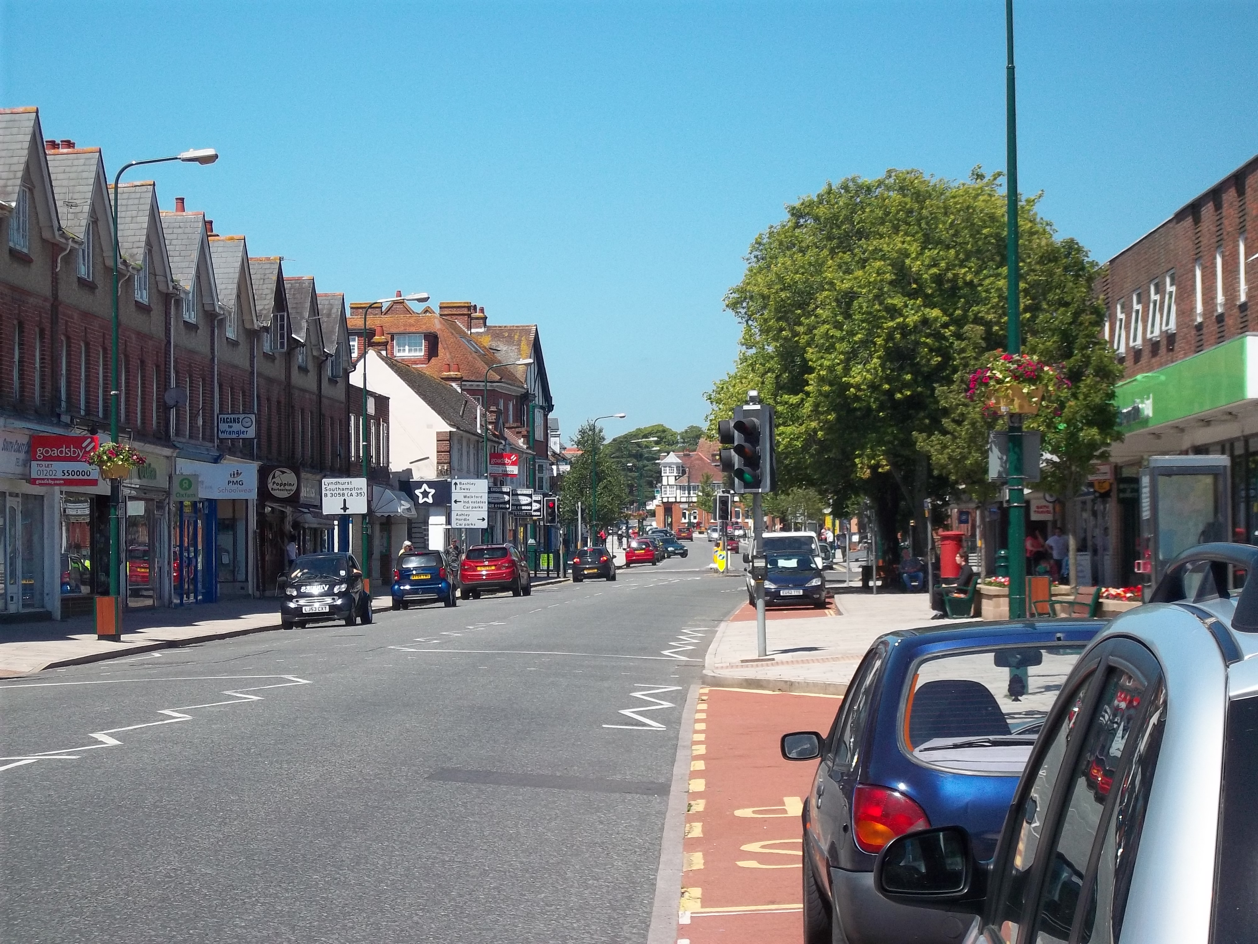
For those seeking a more urban experience, the nearby towns of New Milton and Ringwood offer a wider range of amenities, including supermarkets, shops, restaurants, and leisure facilities. The village is well-connected by road, with easy access to the A35, making it convenient for commuters and visitors to explore the surrounding areas.
Overall, Bashley Park combines the charm of a traditional English village with the natural beauty of the New Forest, making it an attractive destination for individuals seeking a peaceful and picturesque place to reside or visit.
If you have any feedback on the listing, please let us know in the comments section below.
Bashley Park Images
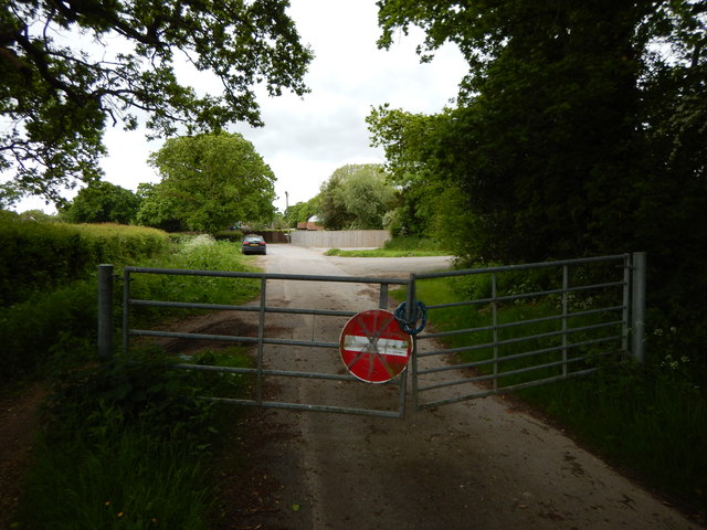
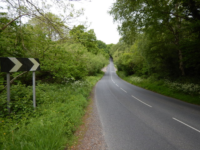
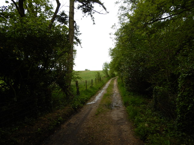
Images are sourced within 2km of 50.772091/-1.661012 or Grid Reference SZ2497. Thanks to Geograph Open Source API. All images are credited.
Bashley Park is located at Grid Ref: SZ2497 (Lat: 50.772091, Lng: -1.661012)
Administrative County: Hampshire
District: New Forest
Police Authority: Hampshire
What 3 Words
///vent.chained.signed. Near New Milton, Hampshire
Nearby Locations
Related Wikis
Bashley, Hampshire
Bashley is a chapelry in the New Forest (in the south west of Hampshire) England. It takes up the north of New Milton civil parish of a type having a town...
Bashley F.C.
Bashley Football Club is a football club based in Bashley, near New Milton, Hampshire, England. They are currently members of the Southern League Division...
Ossemsley
Ossemsley is an extended hamlet in the New Forest National Park of Hampshire, England. It lies close to the village of Bashley. The nearest town is New...
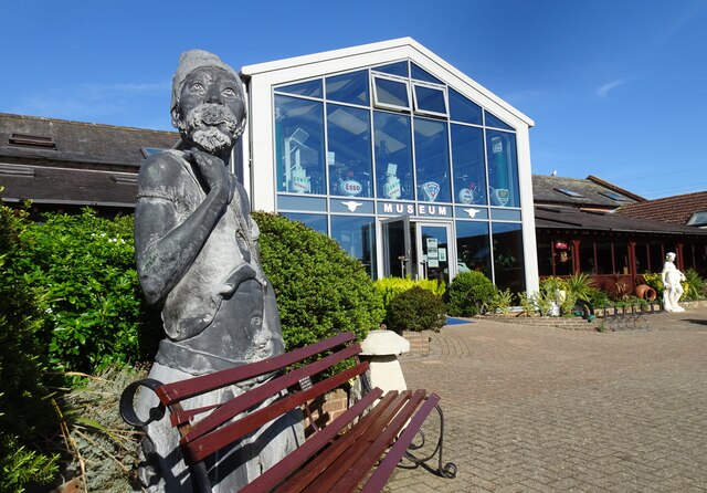
Sammy Miller Motorcycle Museum
The Sammy Miller Motorcycle Museum is an independent museum in New Milton, Hampshire, England. It was set up in 1964, after the former championship winning...
Ballard School (New Milton)
Ballard School is a private, private school located in New Milton, Hampshire, for children aged 2 to 16 years. The Headmaster is Andrew McCleave (since...
Wootton, New Forest
Wootton is a hamlet in the civil parish of New Milton in Hampshire, England. It is in the south of the New Forest. == Overview == Wootton is just north...
New Milton
New Milton is a market town in southwest Hampshire, England. To the north is in the New Forest and to the south the coast at Barton-on-Sea. The town is...
Tiptoe, Hampshire
Tiptoe is a small Hamlet in the New Forest National Park in Hampshire. It lies mostly within the civil parish of Hordle and partly within the civil parish...
Nearby Amenities
Located within 500m of 50.772091,-1.661012Have you been to Bashley Park?
Leave your review of Bashley Park below (or comments, questions and feedback).
