Whitton Island
Island in Yorkshire
England
Whitton Island
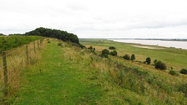
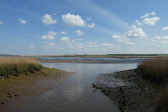
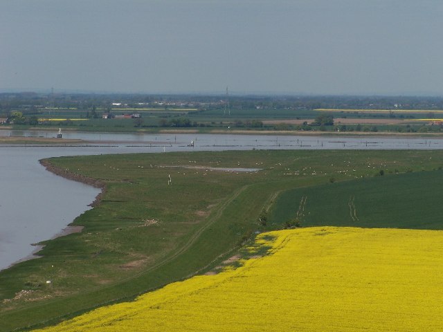
Whitton Island is a picturesque island located off the coast of Yorkshire, England. Situated in the North Sea, it is part of the East Riding of Yorkshire and lies approximately 6 miles east of the coastal town of Bridlington. The island covers an area of around 1.5 square miles and boasts a rugged coastline with stunning cliffs and rocky shores.
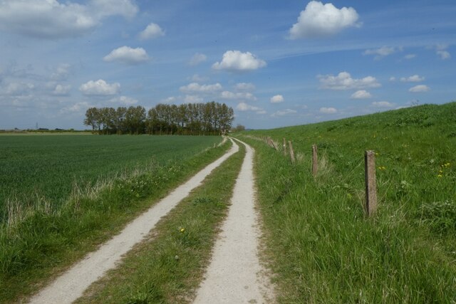
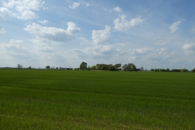
The landscape of Whitton Island is diverse, featuring rolling hills, lush meadows, and small woodlands. The island is renowned for its rich wildlife, including various bird species, seals, and occasional sightings of dolphins. It is a popular destination for birdwatchers and nature enthusiasts, who can explore the scenic trails and observe the unique flora and fauna.
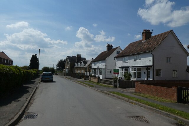
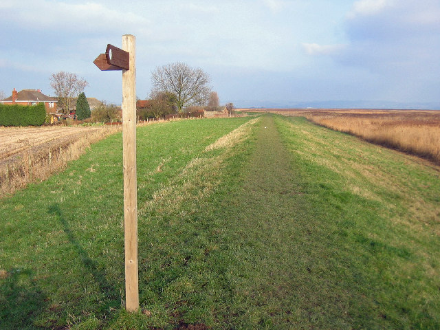
Although Whitton Island is primarily uninhabited, there are a few scattered cottages and farmhouses, giving it a charming and secluded atmosphere. The island's population is small, consisting mainly of local fishermen and farmers. Access to the island is limited, with visitors primarily reaching it by boat or ferry from Bridlington.
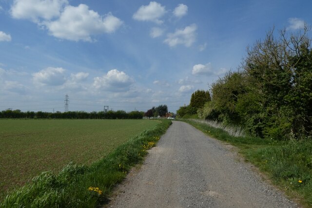
Whitton Island offers several recreational activities for visitors. Fishing is a popular pastime, as the surrounding waters are teeming with various fish species. The island's rugged coastline also attracts hikers and rock climbers looking for an adventurous experience.
Overall, Whitton Island is a hidden gem off the Yorkshire coast, offering a tranquil and untouched natural environment for those seeking a peaceful getaway in the midst of breathtaking landscapes.
If you have any feedback on the listing, please let us know in the comments section below.
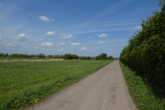
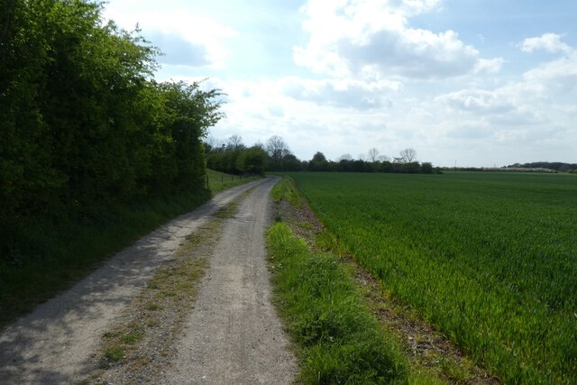
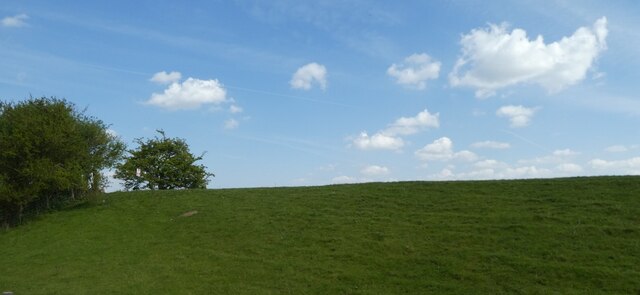
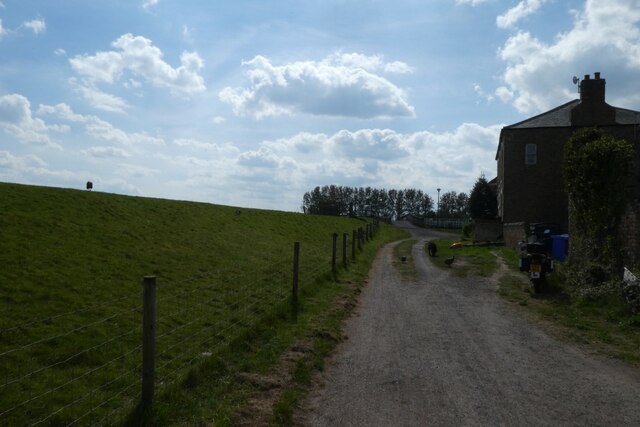
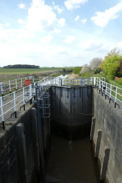
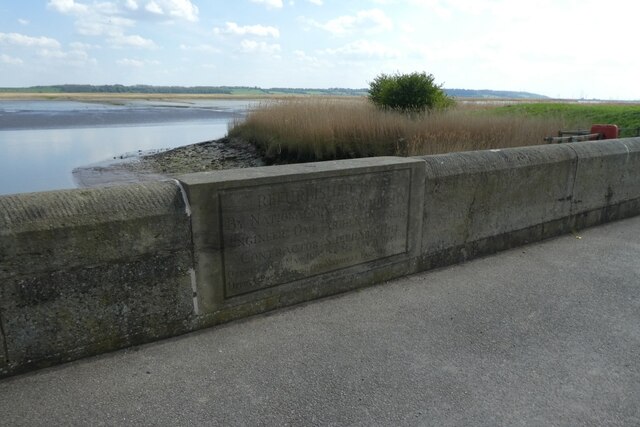
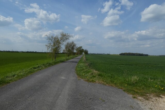
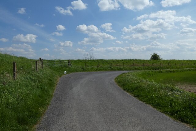
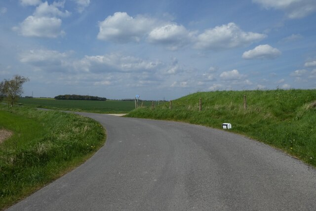
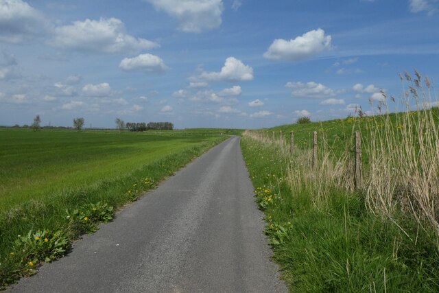
Whitton Island Images
Images are sourced within 2km of 53.714053/-0.66807618 or Grid Reference SE8825. Thanks to Geograph Open Source API. All images are credited.

Whitton Island is located at Grid Ref: SE8825 (Lat: 53.714053, Lng: -0.66807618)
Division: East Riding
Unitary Authority: East Riding of Yorkshire
Police Authority: Humberside
What 3 Words
///translated.repeat.played. Near Broomfleet, East Yorkshire
Nearby Locations
Related Wikis

Whitton Island
Whitton Island is an island situated at the western end of the Humber Estuary in northern England. The almond-shaped island straddles the county boundary...
Faxfleet
Faxfleet is a hamlet and former civil parish, now in the parish of Blacktoft, in the East Riding of Yorkshire, England. It is situated approximately 6...
River Trent
The Trent is third in the list of longest rivers in the United Kingdom. Its source is in Staffordshire, on the southern edge of Biddulph Moor. It flows...

Whitton railway station (Lincolnshire)
Whitton railway station was a railway station, built by the North Lindsey Light Railway in Whitton, Lincolnshire. It was the northern terminus of the line...
Trent Falls
Trent Falls is the confluence of the River Ouse and the River Trent which forms the Humber between Lincolnshire and the East Riding of Yorkshire in England...

River Ouse, Yorkshire
The River Ouse ( OOZ) is a river in North Yorkshire, England. Hydrologically, the river is a continuation of the River Ure, and the combined length of...

Broomfleet
Broomfleet is a village and civil parish in the East Riding of Yorkshire, England. It is situated on the Humber Estuary approximately 4 miles (6 km) west...

Whitton, Lincolnshire
Whitton is a village and civil parish in North Lincolnshire, England. The 2011 census found 212 inhabitants, in 92 households. It is situated at the northern...
Have you been to Whitton Island?
Leave your review of Whitton Island below (or comments, questions and feedback).