Whitton Sand

Coastal Marsh, Saltings in Yorkshire

England

Whitton Sand

On path between Alkborough & Whitton & the upper reaches of the River Humber
On path between Alkborough & Whitton & the upper reaches of the River Humber Credit: Colin Park

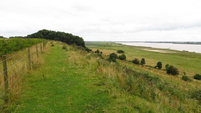
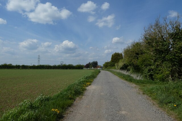
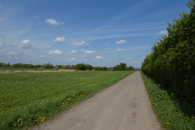
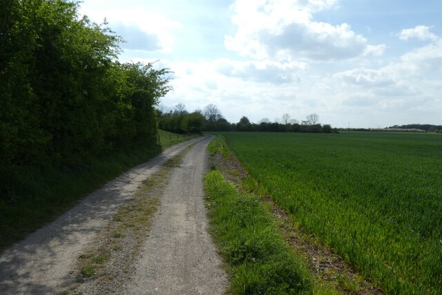
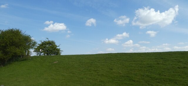
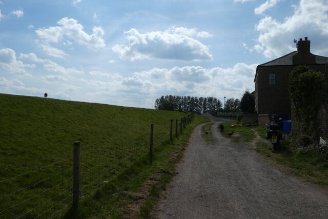
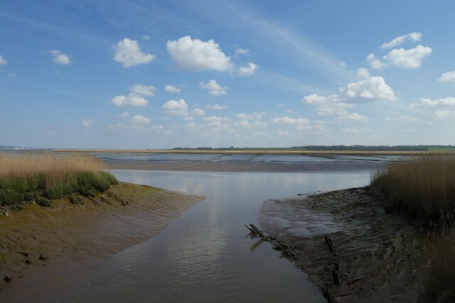
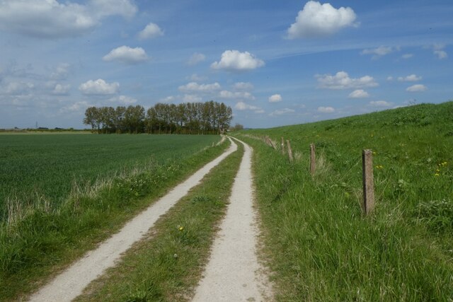
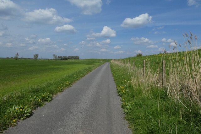
Whitton Sand, located in Yorkshire, is a renowned coastal marsh and saltings area that stretches along the eastern coast of England. This stunning landscape is characterized by its vast sand dunes, coastal meadows, and salt marshes, making it an important habitat for various plant and animal species.

The sand dunes of Whitton Sand are a prominent feature, formed by the accumulation of sand carried by wind and waves. These dunes act as a natural barrier against coastal erosion and provide a unique environment for plants such as sea buckthorn and marram grass to thrive.

The coastal meadows of Whitton Sand are rich in biodiversity, attracting a multitude of bird species, including waders, ducks, and geese. The area is particularly recognized for its importance as a breeding and feeding ground for migratory birds, such as redshanks and pink-footed geese.

The salt marshes of Whitton Sand are another integral part of this coastal ecosystem. These marshes are flooded by seawater during high tides and are home to a variety of plants and animals that have adapted to the saline conditions. Common species found here include sea lavender, thrift, and samphire, as well as numerous invertebrates that provide a food source for birds and other wildlife.

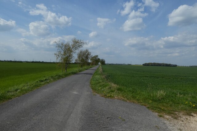
Whitton Sand is not only a haven for wildlife but also a popular destination for nature enthusiasts and birdwatchers. The area offers scenic walks along the coast, with breathtaking views of the North Sea and the surrounding landscape. Its natural beauty and ecological significance make Whitton Sand an essential part of Yorkshire's coastal heritage.

If you have any feedback on the listing, please let us know in the comments section below.

Whitton Sand Images

Images are sourced within 2km of 53.718839/-0.6531948 or Grid Reference SE8825. Thanks to Geograph Open Source API. All images are credited.

On path between Alkborough & Whitton & the upper reaches of the River Humber
Centre of Broomfleet The junction of Main Street and Carr Lane from a bench.
Centre of Broomfleet
The junction of Main Street and Carr Lane from a bench.
Main Street, Broomfleet Looking along a street of houses in Broomfleet.
Main Street, Broomfleet
Looking along a street of houses in Broomfleet.
Drain in Broomfleet The blue plaque reads:

Alternative Heritage
On this spot
2005
Graham Boanas waded across the muddy waters of the Humber from Broomfleet to Whitton.
Drain in Broomfleet
The blue plaque reads: Alternative Heritage On this spot 2005 Graham Boanas waded across the muddy waters of the Humber from Broomfleet to Whitton.
Route 65 approaching Broomfleet Looking along NCN65 as it approaches the village of Broomfleet.
Route 65 approaching Broomfleet
Looking along NCN65 as it approaches the village of Broomfleet.
Cycle path from Broomfleet Looking along part of NCN65.
Cycle path from Broomfleet
Looking along part of NCN65.
Route 65 near Broomfleet Looking along part of NCN65.
Route 65 near Broomfleet
Looking along part of NCN65.
Path between Broomfleet and Weighton Lock Looking along part of NCN65.
Path between Broomfleet and Weighton Lock
Looking along part of NCN65.
Embankment along the Humber Looking up the embankment from NCN65.
Embankment along the Humber
Looking up the embankment from NCN65.
Humber Lock Farm With turkeys running about. The path is part of NCN65.
Humber Lock Farm
With turkeys running about. The path is part of NCN65.
Weighton Lock Looking into the lock connecting the Market Weighton Canal to the River Humber.
Weighton Lock
Looking into the lock connecting the Market Weighton Canal to the River Humber.
Bridge at Weighton Lock Looking towards the inscription stone on the bridge where the Market Weighton Canal meets the River Humber.
The inscription reads:
Refurbished 1994 by National River Authority Engineer Ove Aruf & Partners. Contractor Shephard Hill. Opened 26th May 1995 by Mr A. W. D. Penton deputy president of the National Farmers Union.
Bridge at Weighton Lock
Looking towards the inscription stone on the bridge where the Market Weighton Canal meets the River Humber. The inscription reads: Refurbished 1994 by National River Authority Engineer Ove Aruf & Partners. Contractor Shephard Hill. Opened 26th May 1995 by Mr A. W. D. Penton deputy president of the National Farmers Union.
Canal enters the Humber Looking along the final yards of the Market Weighton Canal from Weighton Lock.
Canal enters the Humber
Looking along the final yards of the Market Weighton Canal from Weighton Lock.
Cycle path towards Weighton Lock Looking along NCN65 towards Weighton Lock and Broomfleet.
Cycle path towards Weighton Lock
Looking along NCN65 towards Weighton Lock and Broomfleet.
Track to Faxfleet Lane Looking along the track to the farm from NCN65.
Track to Faxfleet Lane
Looking along the track to the farm from NCN65.
Bend on NCN65 Looking along part of the cycle path between Broomfleet and Faxfleet.
Bend on NCN65
Looking along part of the cycle path between Broomfleet and Faxfleet.
Cycle path near Faxfleet Grange The path turns right just after the corner.
Cycle path near Faxfleet Grange
The path turns right just after the corner.
NCN65 Cycle path Looking along part of route 65 between Faxfleet and Broomfleet.
NCN65 Cycle path
Looking along part of route 65 between Faxfleet and Broomfleet.
Show me another place!

Whitton Sand is located at Grid Ref: SE8825 (Lat: 53.718839, Lng: -0.6531948)

Division: East Riding

Unitary Authority: East Riding of Yorkshire

Police Authority: Humberside

What 3 Words

///applauded.fallback.fade. Near Broomfleet, East Yorkshire

Related Wikis

Whitton Island

Whitton Island is an island situated at the western end of the Humber Estuary in northern England. The almond-shaped island straddles the county boundary...

Whitton railway station (Lincolnshire)

Whitton railway station was a railway station, built by the North Lindsey Light Railway in Whitton, Lincolnshire. It was the northern terminus of the line...

Whitton, Lincolnshire

Whitton is a village and civil parish in North Lincolnshire, England. The 2011 census found 212 inhabitants, in 92 households. It is situated at the northern...

Broomfleet

Broomfleet is a village and civil parish in the East Riding of Yorkshire, England. It is situated on the Humber Estuary approximately 4 miles (6 km) west...

Have you been to Whitton Sand?

Leave your review of Whitton Sand below (or comments, questions and feedback).