Brown's Island

Island in Rutland

England

Brown's Island

The Old Vicarage, Upper Hambleton
The Old Vicarage, Upper Hambleton Credit: Chris Morgan

Brown's Island is a small island located in Rutland, England, in the heart of Rutland Water. It covers an area of approximately 17 acres and is one of the largest islands in the reservoir. The island is named after the Brown family, who were the former owners of the land before it was transformed into a reservoir in the 1970s.

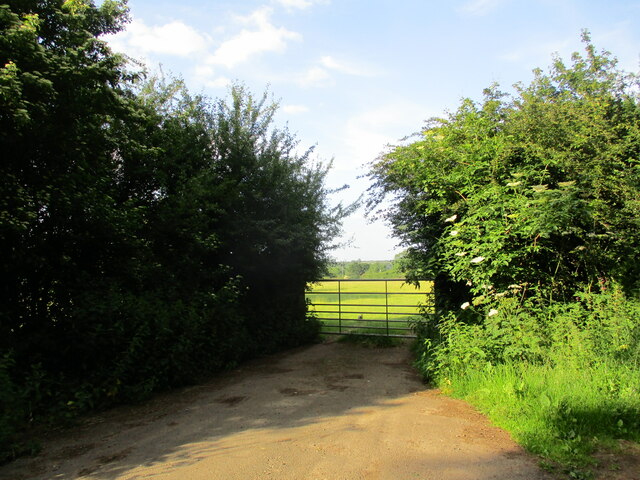
The island is primarily known for its natural beauty and diverse wildlife. It is home to a variety of bird species, including herons, terns, and kingfishers. Many visitors come to the island for birdwatching and to enjoy the peaceful surroundings.

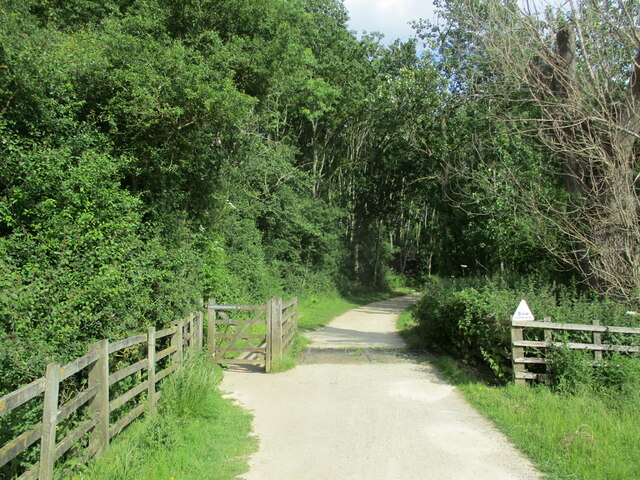
In addition to its natural attractions, Brown's Island offers recreational activities for visitors. There are several walking trails that crisscross the island, providing stunning views of the surrounding water and countryside. The island also has picnic spots, making it a popular destination for families and outdoor enthusiasts.

The island is accessible via a ferry service from the nearby shores of Rutland Water. The ferry runs regularly during the summer months, allowing visitors to easily reach and explore the island.

Overall, Brown's Island is a tranquil and picturesque location in Rutland, offering a chance to connect with nature and enjoy the beauty of the surrounding area. Whether for birdwatching, walking, or simply relaxing in the peaceful atmosphere, the island provides a delightful escape from the hustle and bustle of everyday life.

If you have any feedback on the listing, please let us know in the comments section below.

Brown's Island Images

Images are sourced within 2km of 52.653705/-0.69217402 or Grid Reference SK8807. Thanks to Geograph Open Source API. All images are credited.

The Old Vicarage, Upper Hambleton
Cycle path entering Hambleton Wood Part of the circuit of Rutland Water.
Cycle path entering Hambleton Wood
Part of the circuit of Rutland Water.
Field entrance, Upper Hambleton
Beach by Rutland Water
Farm track and Upper Hambleton
Hambleton Manor House Parts of this house date to the seventeenth century but in this view the part on the left is of the nineteenth century and to the right to the eighteenth century <span class="nowrap"><a title="https://historicengland.org.uk/listing/the-list/list-entry/1073715?section=official-list-entry" rel="nofollow ugc noopener" href="https://historicengland.org.uk/listing/the-list/list-entry/1073715?section=official-list-entry">Link</a><img style="margin-left:2px;" alt="External link" title="External link - shift click to open in new window" src="https://s1.geograph.org.uk/img/external.png" width="10" height="10"/></span>
Hambleton Manor House
Parts of this house date to the seventeenth century but in this view the part on the left is of the nineteenth century and to the right to the eighteenth century LinkExternal link
The Cottage, Upper Hambleton Dates to the eighteenth century <span class="nowrap"><a title="https://historicengland.org.uk/listing/the-list/list-entry/1073714?section=official-list-entry" rel="nofollow ugc noopener" href="https://historicengland.org.uk/listing/the-list/list-entry/1073714?section=official-list-entry">Link</a><img style="margin-left:2px;" alt="External link" title="External link - shift click to open in new window" src="https://s1.geograph.org.uk/img/external.png" width="10" height="10"/></span>
The Cottage, Upper Hambleton
Dates to the eighteenth century LinkExternal link
The Old Post Office, Upper Hambleton Arts and Crafts style of the early twentieth century <span class="nowrap"><a title="https://historicengland.org.uk/listing/the-list/list-entry/1073713?section=official-list-entry" rel="nofollow ugc noopener" href="https://historicengland.org.uk/listing/the-list/list-entry/1073713?section=official-list-entry">Link</a><img style="margin-left:2px;" alt="External link" title="External link - shift click to open in new window" src="https://s1.geograph.org.uk/img/external.png" width="10" height="10"/></span>
The Old Post Office, Upper Hambleton
Arts and Crafts style of the early twentieth century LinkExternal link
Churchyard Cross, Hambleton Modern copy in a late medieval style.
Churchyard Cross, Hambleton
Modern copy in a late medieval style.
Detail of the Old Post Office, Upper Hambleton In an Arts and Crafts style.
Detail of the Old Post Office, Upper Hambleton
In an Arts and Crafts style.
Cycle track and Rutland Water
Hambleton Manor House The part on the left dates from the seventeenth century; that closest to the camera to the nineteenth century <span class="nowrap"><a title="https://historicengland.org.uk/listing/the-list/list-entry/1073715?section=official-list-entry" rel="nofollow ugc noopener" href="https://historicengland.org.uk/listing/the-list/list-entry/1073715?section=official-list-entry">Link</a><img style="margin-left:2px;" alt="External link" title="External link - shift click to open in new window" src="https://s1.geograph.org.uk/img/external.png" width="10" height="10"/></span>
Hambleton Manor House
The part on the left dates from the seventeenth century; that closest to the camera to the nineteenth century LinkExternal link
Thatched cottages, Upper Hambleton Date to the late sixteenth century <span class="nowrap"><a title="https://historicengland.org.uk/listing/the-list/list-entry/1361564?section=official-list-entry" rel="nofollow ugc noopener" href="https://historicengland.org.uk/listing/the-list/list-entry/1361564?section=official-list-entry">Link</a><img style="margin-left:2px;" alt="External link" title="External link - shift click to open in new window" src="https://s1.geograph.org.uk/img/external.png" width="10" height="10"/></span>
Thatched cottages, Upper Hambleton
Date to the late sixteenth century LinkExternal link
Stone Cottage, Upper Hambleton Early twentieth century houee undergoing extensive restoration <span class="nowrap"><a title="https://historicengland.org.uk/listing/the-list/list-entry/1073721?section=official-list-entry" rel="nofollow ugc noopener" href="https://historicengland.org.uk/listing/the-list/list-entry/1073721?section=official-list-entry">Link</a><img style="margin-left:2px;" alt="External link" title="External link - shift click to open in new window" src="https://s1.geograph.org.uk/img/external.png" width="10" height="10"/></span>
Stone Cottage, Upper Hambleton
Early twentieth century houee undergoing extensive restoration LinkExternal link
The southern edge of Rutland Water Rutland Water is Anglian Water's reservoir in the county of Rutland, it was known as Empingham Reservoir during its construction and until its opening in 1976.
It has a surface area of 10.86 square kilometres (4.19 sq miles), making it the largest reservoir in England by surface area. 
Set in 3,100 acres (13 km²) of countryside, it has a 25 mile (40 km) perimeter track for walking and cycling.
The southern edge of Rutland Water
Rutland Water is Anglian Water's reservoir in the county of Rutland, it was known as Empingham Reservoir during its construction and until its opening in 1976. It has a surface area of 10.86 square kilometres (4.19 sq miles), making it the largest reservoir in England by surface area. Set in 3,100 acres (13 km²) of countryside, it has a 25 mile (40 km) perimeter track for walking and cycling.
Bridleway to Brooke Leads to a light controlled crossing of the Peterborough to Leicester railway line.
Bridleway to Brooke
Leads to a light controlled crossing of the Peterborough to Leicester railway line.
Bridleway at Gunthorpe The bridleway follows the narrow gap through this crop of oilseed rape, However footprints, hoof marks and cycle tracks seem to show a preference to going round the edge of the field to the right. In anycase the oilseed rape in this field will soon become impenetrable and users of the bridleway will be forced to go round the edge of the field.
Bridleway at Gunthorpe
The bridleway follows the narrow gap through this crop of oilseed rape, However footprints, hoof marks and cycle tracks seem to show a preference to going round the edge of the field to the right. In anycase the oilseed rape in this field will soon become impenetrable and users of the bridleway will be forced to go round the edge of the field.
Bridleway at Gunthorpe
Show me another place!

Brown's Island is located at Grid Ref: SK8807 (Lat: 52.653705, Lng: -0.69217402)

Unitary Authority: Rutland

Police Authority: Leicestershire

What 3 Words

///automatic.tester.howler. Near Manton, Rutland

Nearby Locations

Brown's Island Egleton Bay

Related Wikis

British Birdwatching Fair

The British Birdwatching Fair or Birdfair is an annual event for birdwatchers, held every August at Rutland Water in England, run by staff and volunteers...

Vale of Catmose

The Vale of Catmose is an area of relatively low-lying land, much of which is flooded by Rutland Water, in western Rutland, England. Oakham, the county...

Egleton

Egleton is a small village and civil parish in the county of Rutland in the East Midlands of England. It is situated south east of Oakham, and is close...

St Edmund's Church, Egleton

St Edmund's Church is a church in Egleton, Rutland. It is a Grade I listed building. == History == The church is essentially Norman with good examples...

Nearby Amenities

Located within 500m of 52.653705,-0.69217402
Egleton Bay
Natural: bay
Source: Bing
Lat/Long: 52.6546568/-0.6970822
Brown's Island
Place: locality
Source: Bing
Lat/Long: 52.653874/-0.69203
The data included in this document is from www.openstreetmap.org. The data is made available under ODbL.

Have you been to Brown's Island?

Leave your review of Brown's Island below (or comments, questions and feedback).