Egleton Bay

Lake, Pool, Pond, Freshwater Marsh in Rutland

England

Egleton Bay

The Old Vicarage, Upper Hambleton
The Old Vicarage, Upper Hambleton Credit: Chris Morgan

Egleton Bay is a picturesque freshwater marsh located in Rutland, England. Situated on the southern shore of Rutland Water, the bay covers an area of approximately 30 hectares and is a significant habitat for various species of wildlife.

The bay is known for its tranquil surroundings and diverse ecosystems, making it a popular destination for birdwatchers and nature enthusiasts. The marshland is home to a variety of bird species, including herons, swans, ducks, and geese, which can be observed throughout the year. Additionally, the bay provides an essential nesting ground for many migratory birds, such as sandpipers and terns.

The vegetation in Egleton Bay is dominated by reeds and rushes, which thrive in the wetland environment. These plants provide nesting sites and shelter for birds, as well as a habitat for amphibians and insects. The bay also features small pools and ponds, which support an array of aquatic plant life and attract dragonflies and damselflies.

Rutland Water, the reservoir that Egleton Bay is part of, offers various recreational activities for visitors. The bay itself provides opportunities for walking trails and bird hides, allowing visitors to observe the wildlife undisturbed. Additionally, the reservoir offers facilities for fishing, sailing, and windsurfing, attracting water sports enthusiasts from around the region.

Overall, Egleton Bay in Rutland is a haven for nature lovers and a vital habitat for numerous species of birds and aquatic life. Its unique blend of marshland, lakes, pools, and ponds creates a diverse ecosystem that is both beautiful and ecologically significant.

If you have any feedback on the listing, please let us know in the comments section below.
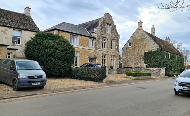
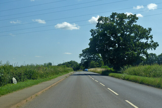
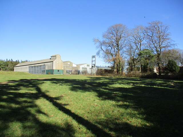
Egleton Bay Images

Images are sourced within 2km of 52.653962/-0.69677878 or Grid Reference SK8807. Thanks to Geograph Open Source API. All images are credited.

The Old Vicarage, Upper Hambleton
Hambleton Manor House Parts of this house date to the seventeenth century but in this view the part on the left is of the nineteenth century and to the right to the eighteenth century <span class="nowrap"><a title="https://historicengland.org.uk/listing/the-list/list-entry/1073715?section=official-list-entry" rel="nofollow ugc noopener" href="https://historicengland.org.uk/listing/the-list/list-entry/1073715?section=official-list-entry">Link</a><img style="margin-left:2px;" alt="External link" title="External link - shift click to open in new window" src="https://s1.geograph.org.uk/img/external.png" width="10" height="10"/></span>
Hambleton Manor House
Parts of this house date to the seventeenth century but in this view the part on the left is of the nineteenth century and to the right to the eighteenth century LinkExternal link
The Cottage, Upper Hambleton Dates to the eighteenth century <span class="nowrap"><a title="https://historicengland.org.uk/listing/the-list/list-entry/1073714?section=official-list-entry" rel="nofollow ugc noopener" href="https://historicengland.org.uk/listing/the-list/list-entry/1073714?section=official-list-entry">Link</a><img style="margin-left:2px;" alt="External link" title="External link - shift click to open in new window" src="https://s1.geograph.org.uk/img/external.png" width="10" height="10"/></span>
The Cottage, Upper Hambleton
Dates to the eighteenth century LinkExternal link
The Old Post Office, Upper Hambleton Arts and Crafts style of the early twentieth century <span class="nowrap"><a title="https://historicengland.org.uk/listing/the-list/list-entry/1073713?section=official-list-entry" rel="nofollow ugc noopener" href="https://historicengland.org.uk/listing/the-list/list-entry/1073713?section=official-list-entry">Link</a><img style="margin-left:2px;" alt="External link" title="External link - shift click to open in new window" src="https://s1.geograph.org.uk/img/external.png" width="10" height="10"/></span>
The Old Post Office, Upper Hambleton
Arts and Crafts style of the early twentieth century LinkExternal link
Churchyard Cross, Hambleton Modern copy in a late medieval style.
Churchyard Cross, Hambleton
Modern copy in a late medieval style.
Detail of the Old Post Office, Upper Hambleton In an Arts and Crafts style.
Detail of the Old Post Office, Upper Hambleton
In an Arts and Crafts style.
Cycle track and Rutland Water
Hambleton Manor House The part on the left dates from the seventeenth century; that closest to the camera to the nineteenth century <span class="nowrap"><a title="https://historicengland.org.uk/listing/the-list/list-entry/1073715?section=official-list-entry" rel="nofollow ugc noopener" href="https://historicengland.org.uk/listing/the-list/list-entry/1073715?section=official-list-entry">Link</a><img style="margin-left:2px;" alt="External link" title="External link - shift click to open in new window" src="https://s1.geograph.org.uk/img/external.png" width="10" height="10"/></span>
Hambleton Manor House
The part on the left dates from the seventeenth century; that closest to the camera to the nineteenth century LinkExternal link
B641 Uppingham Road A cast-iron milepost on the left, 6 miles to Uppingham - see <a href="https://www.geograph.org.uk/photo/6098647">SK8607 : Old Milepost, B641, Uppingham Road, South of Oakham</a>.
B641 Uppingham Road
A cast-iron milepost on the left, 6 miles to Uppingham - see SK8607 : Old Milepost, B641, Uppingham Road, South of Oakham.
A6003 towards Uppingham
A6003 towards Uppingham Sweeping bends which replaced a tight dog-leg under the railway to the right and which lead easily into a revised alignment which bypasses Manton on the hill ahead.
A6003 towards Uppingham
Sweeping bends which replaced a tight dog-leg under the railway to the right and which lead easily into a revised alignment which bypasses Manton on the hill ahead.
St. Andrew's Church, Upper Hambleton Grade II Listed 

Mainly 13th and 14th Century Church . Hambleton is a village in the centre of Rutland Waters.

<span class="nowrap"><a title="https://en.wikipedia.org/wiki/Hambleton,_Rutland" rel="nofollow ugc noopener" href="https://en.wikipedia.org/wiki/Hambleton,_Rutland">Link</a><img style="margin-left:2px;" alt="External link" title="External link - shift click to open in new window" src="https://s1.geograph.org.uk/img/external.png" width="10" height="10"/></span>
St. Andrew's Church, Upper Hambleton
Grade II Listed Mainly 13th and 14th Century Church . Hambleton is a village in the centre of Rutland Waters. LinkExternal link
Bridleway to Brooke Leads to a light controlled crossing of the Peterborough to Leicester railway line.
Bridleway to Brooke
Leads to a light controlled crossing of the Peterborough to Leicester railway line.
Approaching Gunthorpe On the bridleway from Brooke.
Approaching Gunthorpe
On the bridleway from Brooke.
Farm buildings at Gunthorpe
Farm cottage at Gunthorpe
Which way to go? The bridleway follows the narrow gap through this crop of oilseed rape just visible on the extreme right of the picture. However footprints, hoof marks and cycle tracks seem to show a preference to going round the edge of the field to the left. In anycase the oilseed rape in this field will soon become impenetrable and users of the bridleway will be forced to go round the edge of the field.
Which way to go?
The bridleway follows the narrow gap through this crop of oilseed rape just visible on the extreme right of the picture. However footprints, hoof marks and cycle tracks seem to show a preference to going round the edge of the field to the left. In anycase the oilseed rape in this field will soon become impenetrable and users of the bridleway will be forced to go round the edge of the field.
Show me another place!

Egleton Bay is located at Grid Ref: SK8807 (Lat: 52.653962, Lng: -0.69677878)

Unitary Authority: Rutland

Police Authority: Leicestershire

What 3 Words

///tend.resorting.trample. Near Manton, Rutland

Nearby Locations

Egleton Bay Brown's Island

Related Wikis

British Birdwatching Fair

The British Birdwatching Fair or Birdfair is an annual event for birdwatchers, held every August at Rutland Water in England, run by staff and volunteers...

Egleton

Egleton is a small village and civil parish in the county of Rutland in the East Midlands of England. It is situated south east of Oakham, and is close...

St Edmund's Church, Egleton

St Edmund's Church is a church in Egleton, Rutland. It is a Grade I listed building. == History == The church is essentially Norman with good examples...

Vale of Catmose

The Vale of Catmose is an area of relatively low-lying land, much of which is flooded by Rutland Water, in western Rutland, England.The Catmose College...

Oakham–Kettering line

The Oakham–Kettering line is a railway line in the East Midlands of England. Currently it has one passenger station in operation, at Corby. == Current... ==

St Andrew's Church, Hambleton

St Andrew's Church is a church in Hambleton, Rutland. It is a Grade II* listed building. == History == The church dates from the early Norman era and possibly...

Hambleton, Rutland

Hambleton is a village and civil parish in Rutland, England. It is about two miles (3 km) east of Oakham. == Description == The village's name means 'maimed...

Gunthorpe, Rutland

Gunthorpe is a civil parish and a hamlet in the county of Rutland in the East Midlands of England. The village's name means 'outlying farm/settlement of...

Nearby Amenities

Located within 500m of 52.653962,-0.69677878
Heron
Artist: Ptolemy Rington
Material: steel
Source: survey; Bing
Start Date: 2008
Tourism: artwork
Lat/Long: 52.655428/-0.7015442
Tree Sparrow Hide
Building: yes
Leisure: bird_hide
Source: survey;Bing
Lat/Long: 52.6552848/-0.7015681
Recycling
Recycling Cans: yes
Recycling Glass: yes
Recycling Paper: yes
Source: survey; Bing
Lat/Long: 52.6553618/-0.7014868
Waste Basket
Source: survey; Bing
Lat/Long: 52.6553796/-0.7014756
Pumping Station
Operator: Rutland Water Nature Reserve
Source: survey;Bing
Lat/Long: 52.6554038/-0.7015314
Egleton Bay
Natural: bay
Source: Bing
Lat/Long: 52.6546568/-0.6970822
Brown's Island
Place: locality
Source: Bing
Lat/Long: 52.653874/-0.69203
Toilets
Lat/Long: 52.6551847/-0.7013537
Rutland Water
Information: board
Tourism: information
Lat/Long: 52.655561/-0.7029763
Waste Basket
Lat/Long: 52.6553838/-0.7015457
Bench
Lat/Long: 52.6574176/-0.7005962
Bench
Openbenches Id: 7155
Lat/Long: 52.6574248/-0.6997528
The data included in this document is from www.openstreetmap.org. The data is made available under ODbL.

Have you been to Egleton Bay?

Leave your review of Egleton Bay below (or comments, questions and feedback).